 97.75
© ml
97.75
© ml
December 2011: Two days in Suhl and Oberdorf
back to photos' home / zurück zur Photo-Übersicht
I went to SUHL by train and met my friend NORDEN. He had lived there
many years ago, and showed we some places of his youth. His relatives
still live here, and we visited them.
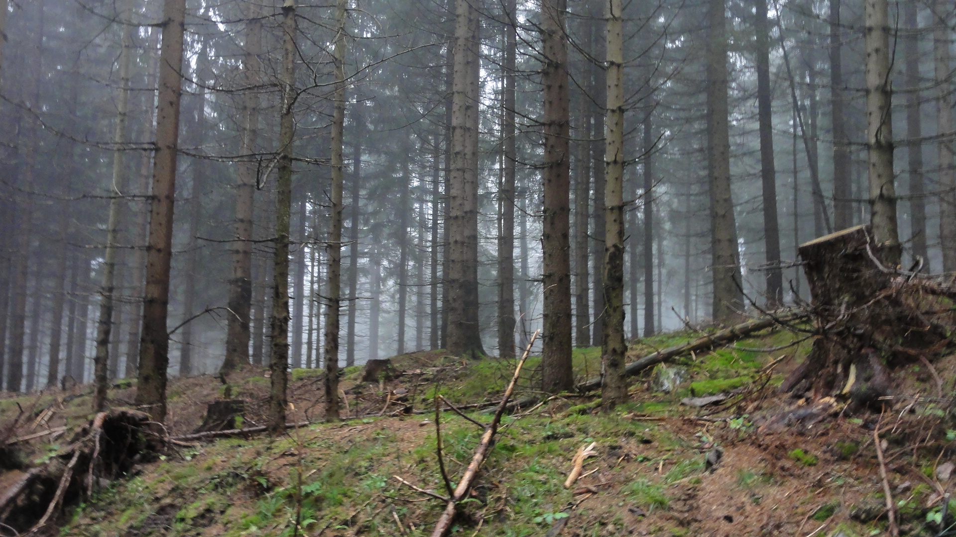
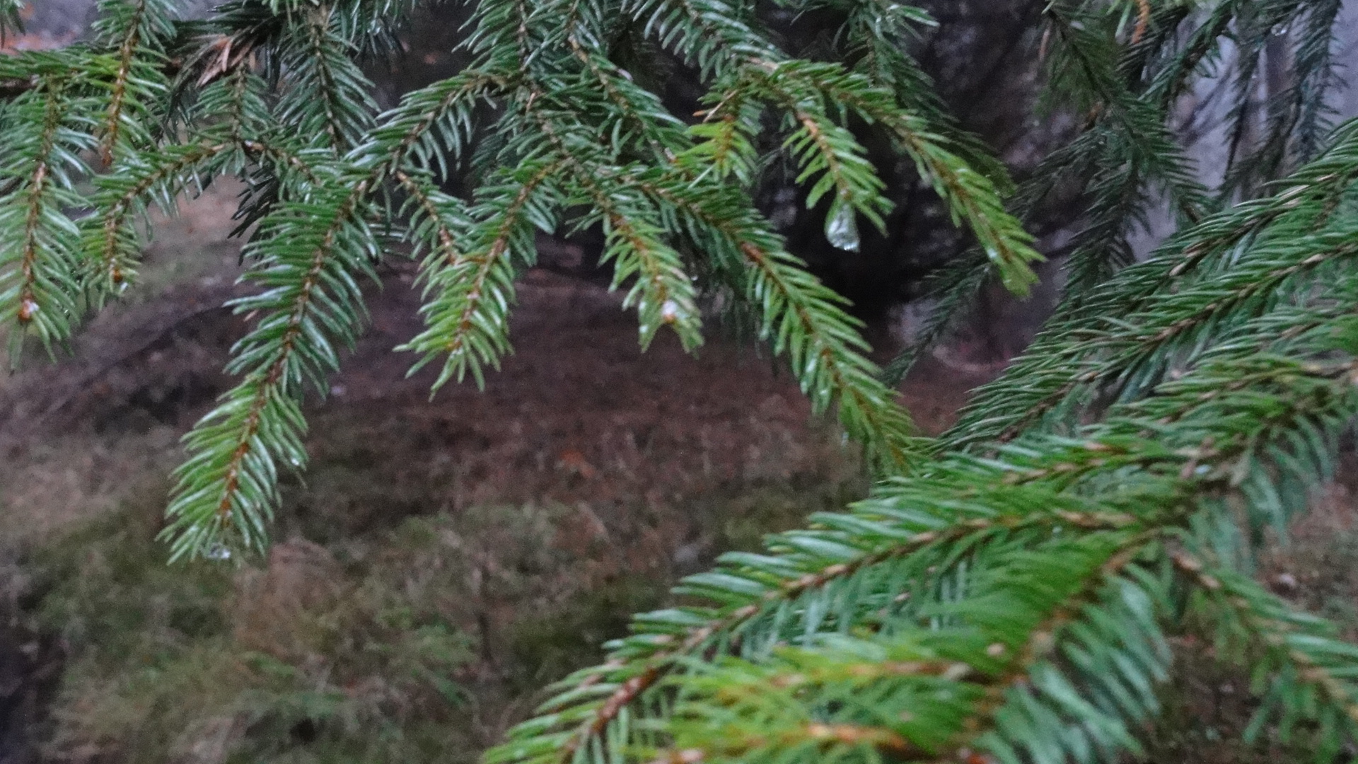
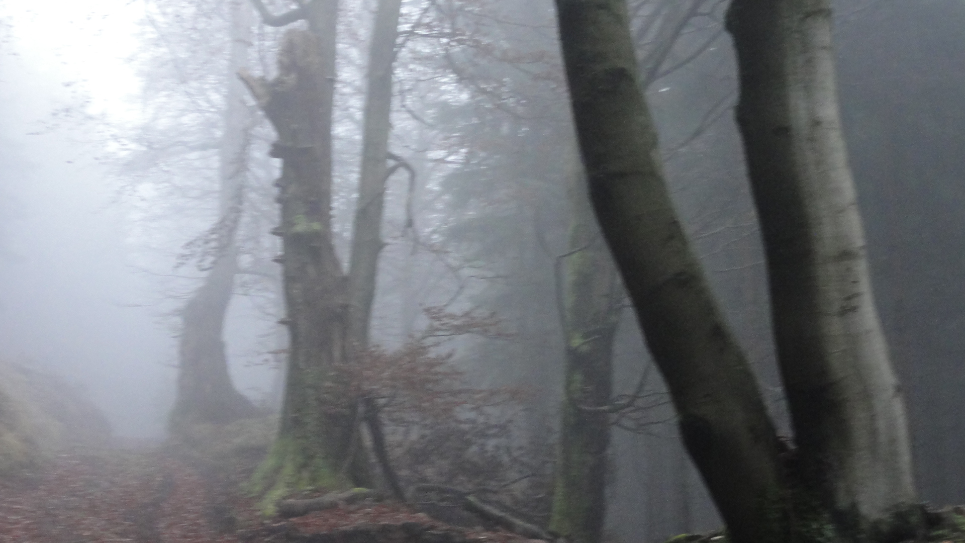
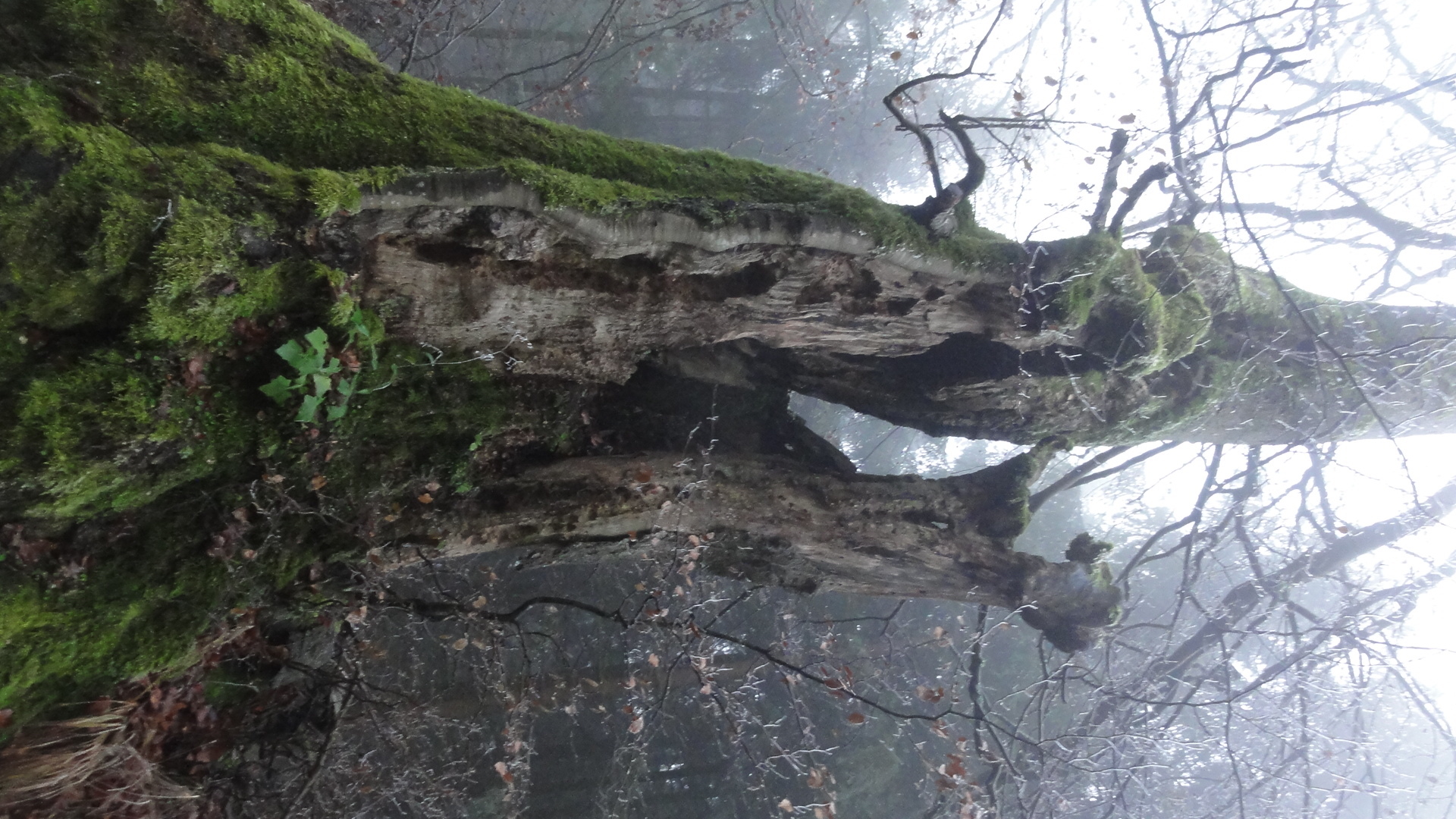
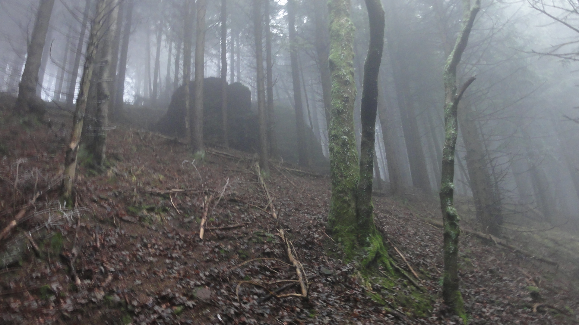
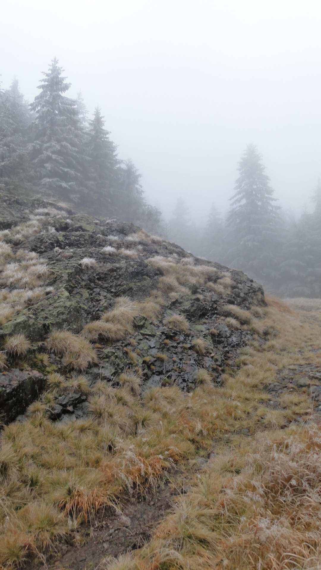
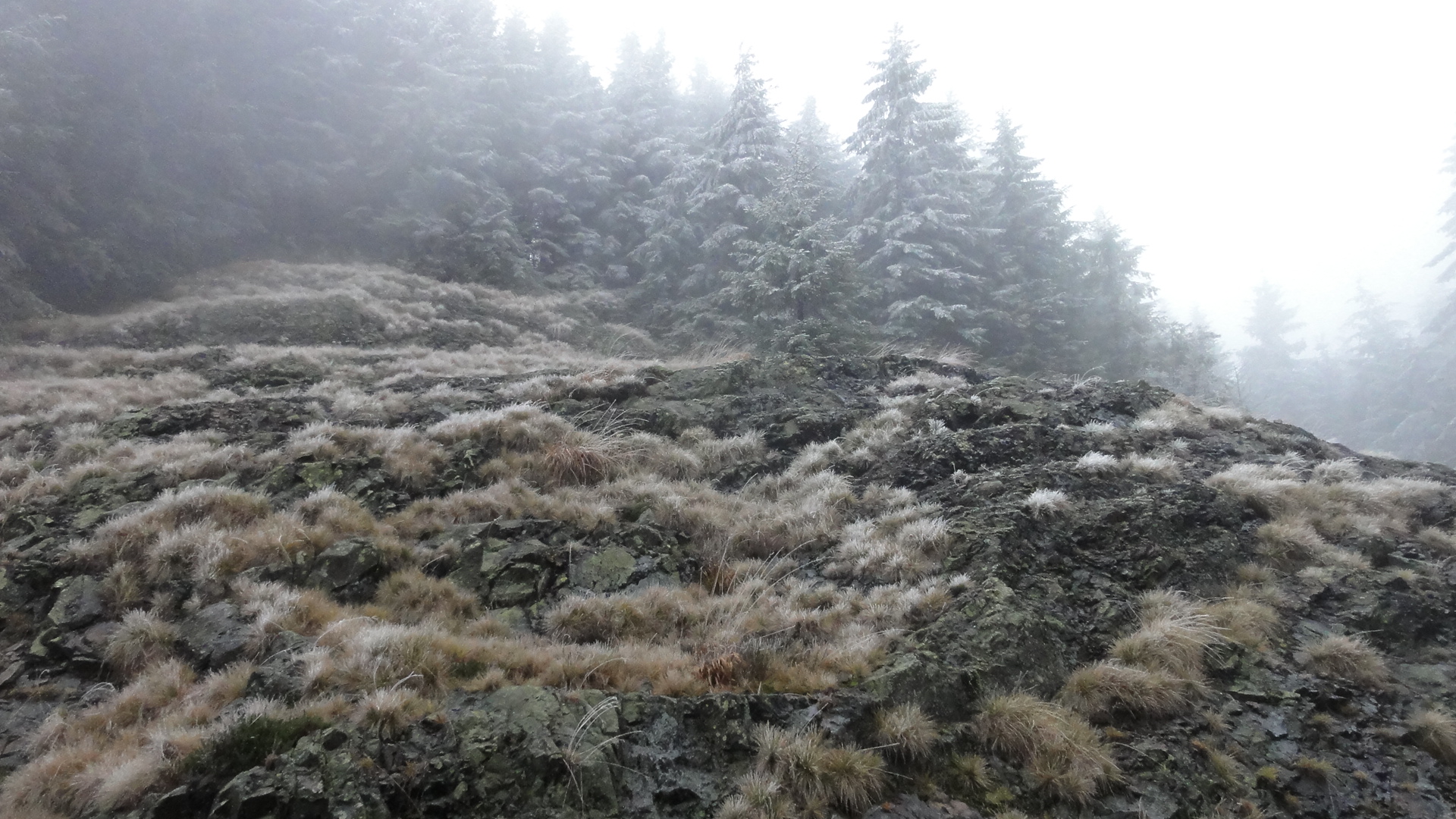
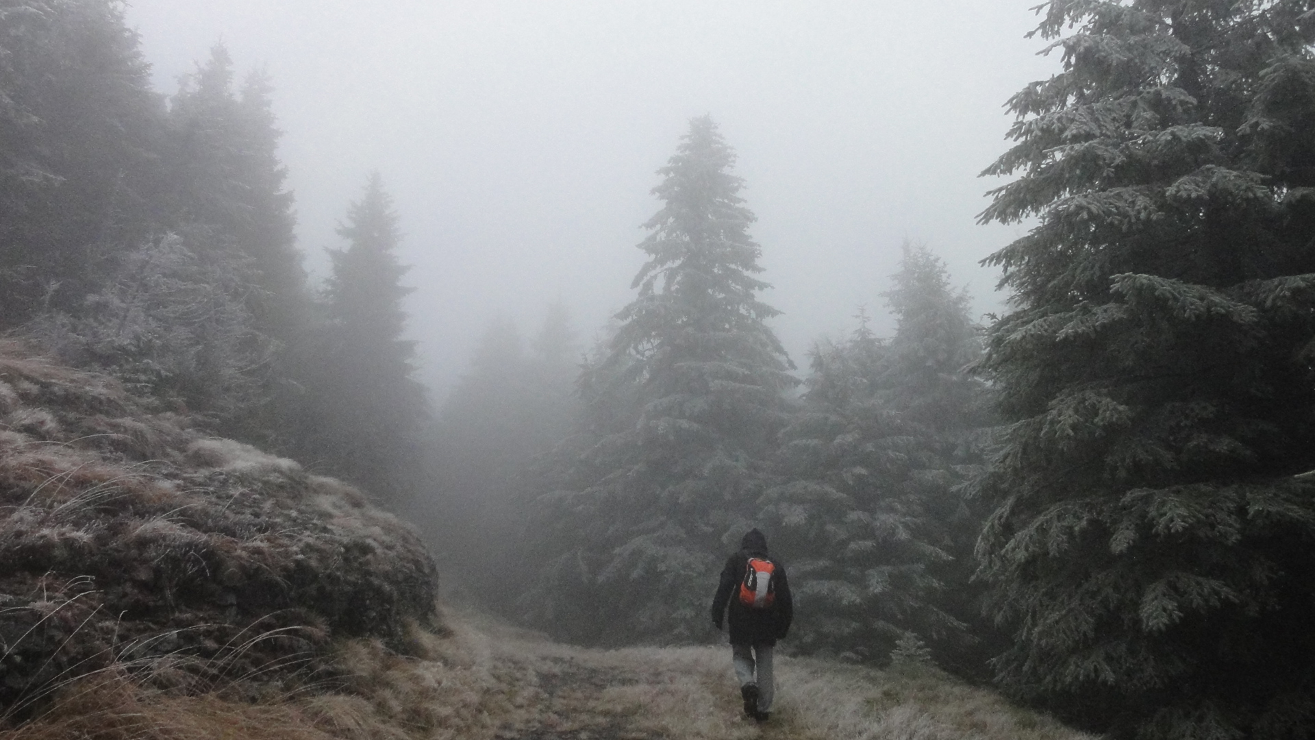
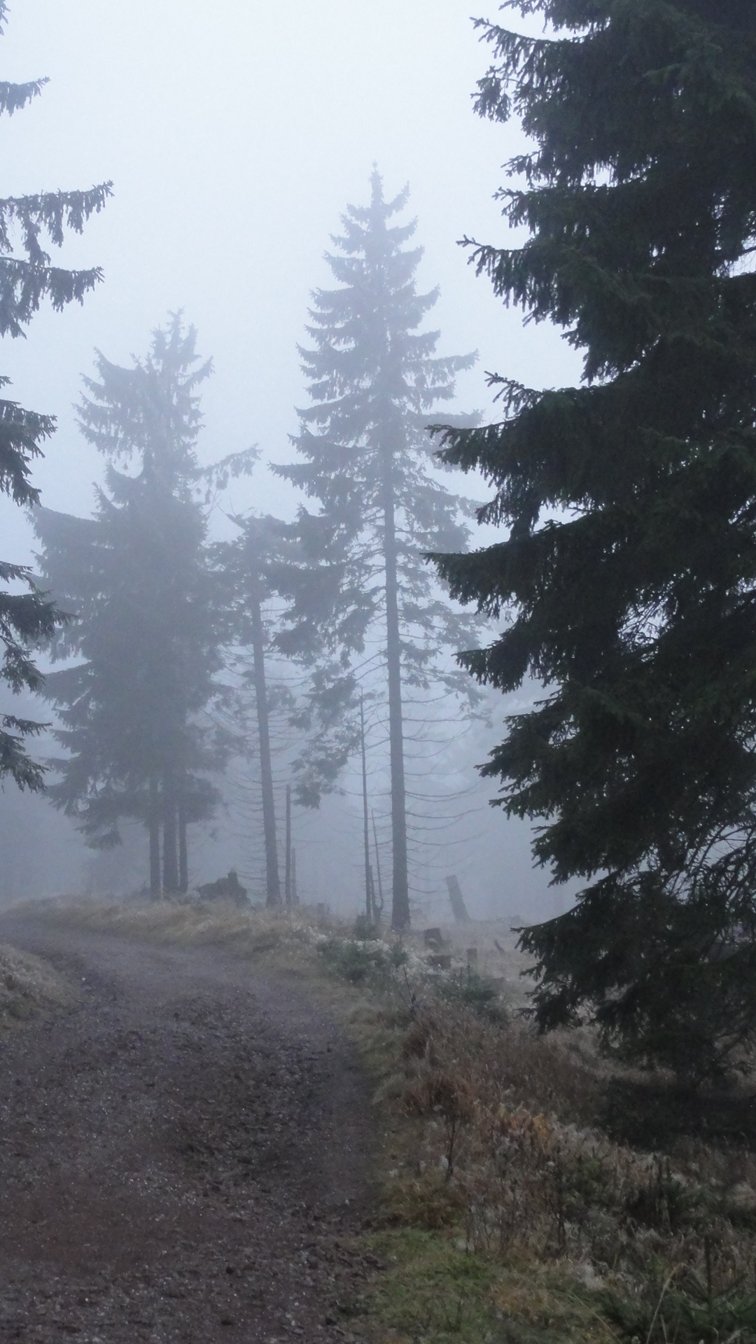
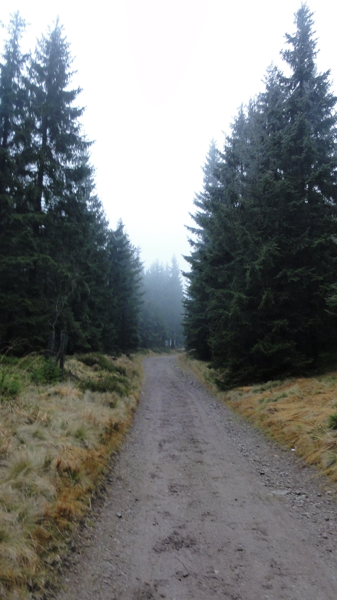
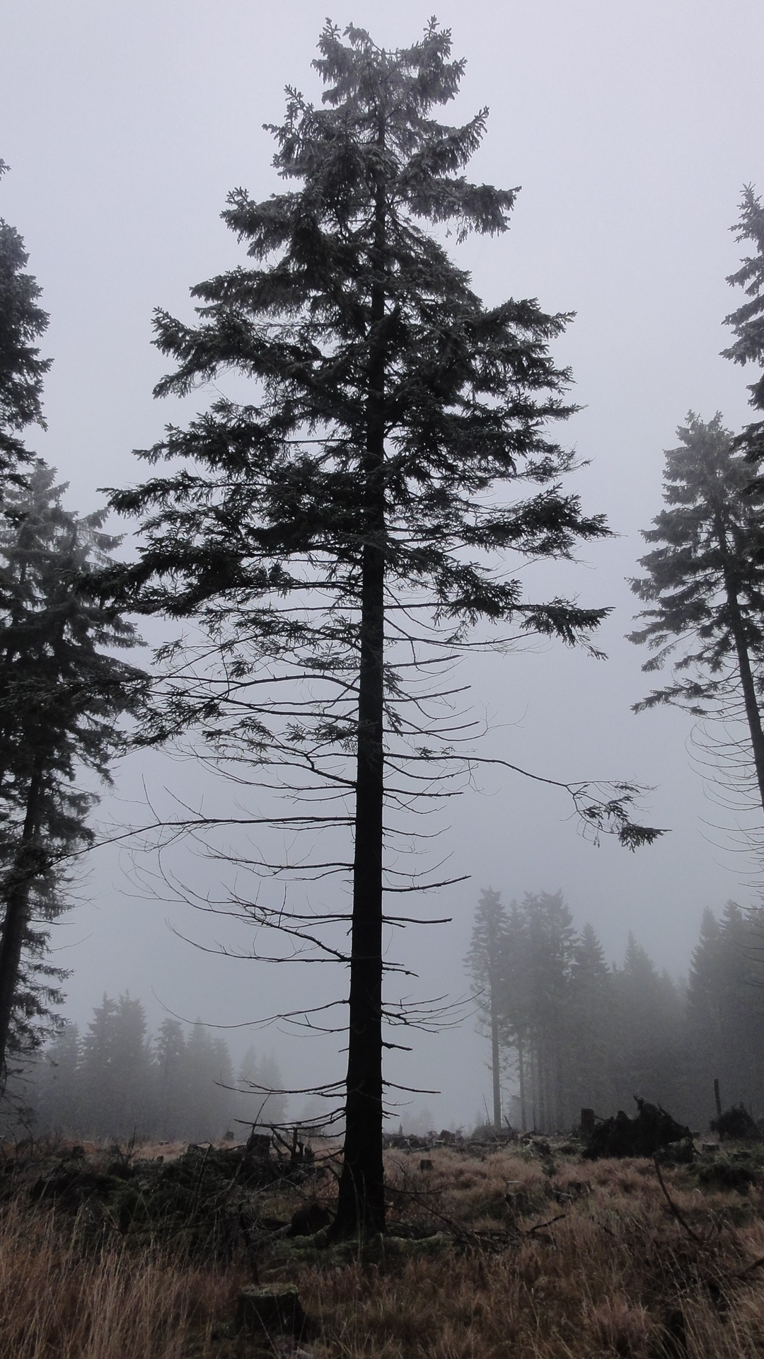
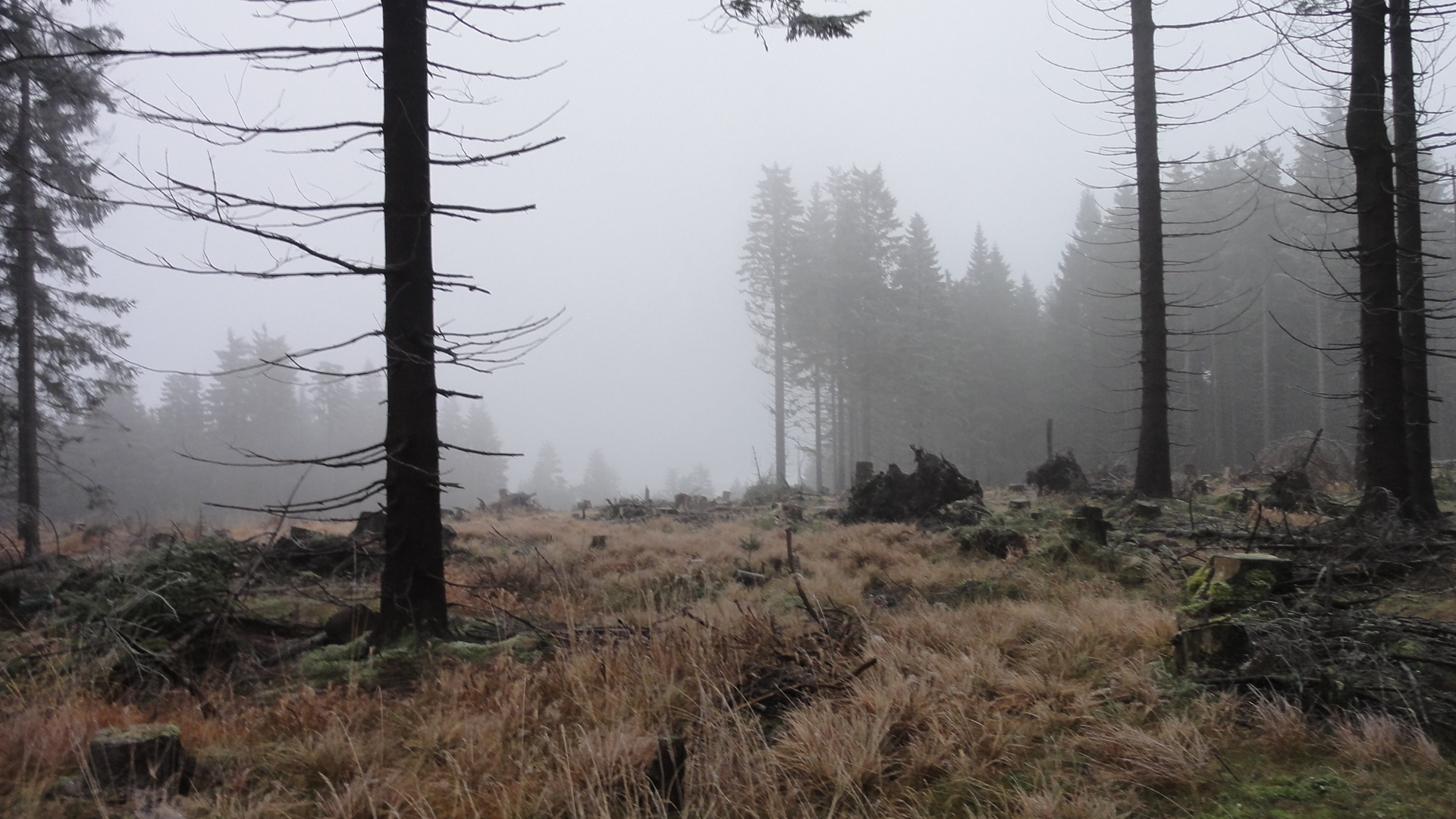
Next day we marched up-hill from Suhl to Oberhof. We took the way by chance,
but afterwards it turned out to be the "Suhler Leube", a famous way,
constructed hundreds of years ago!
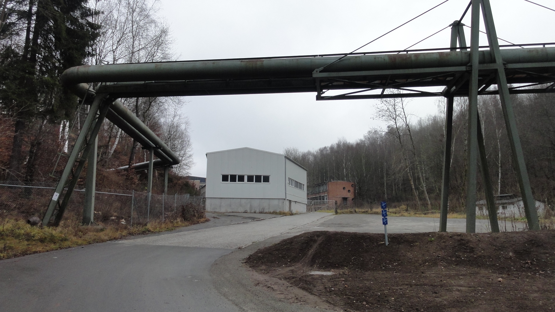
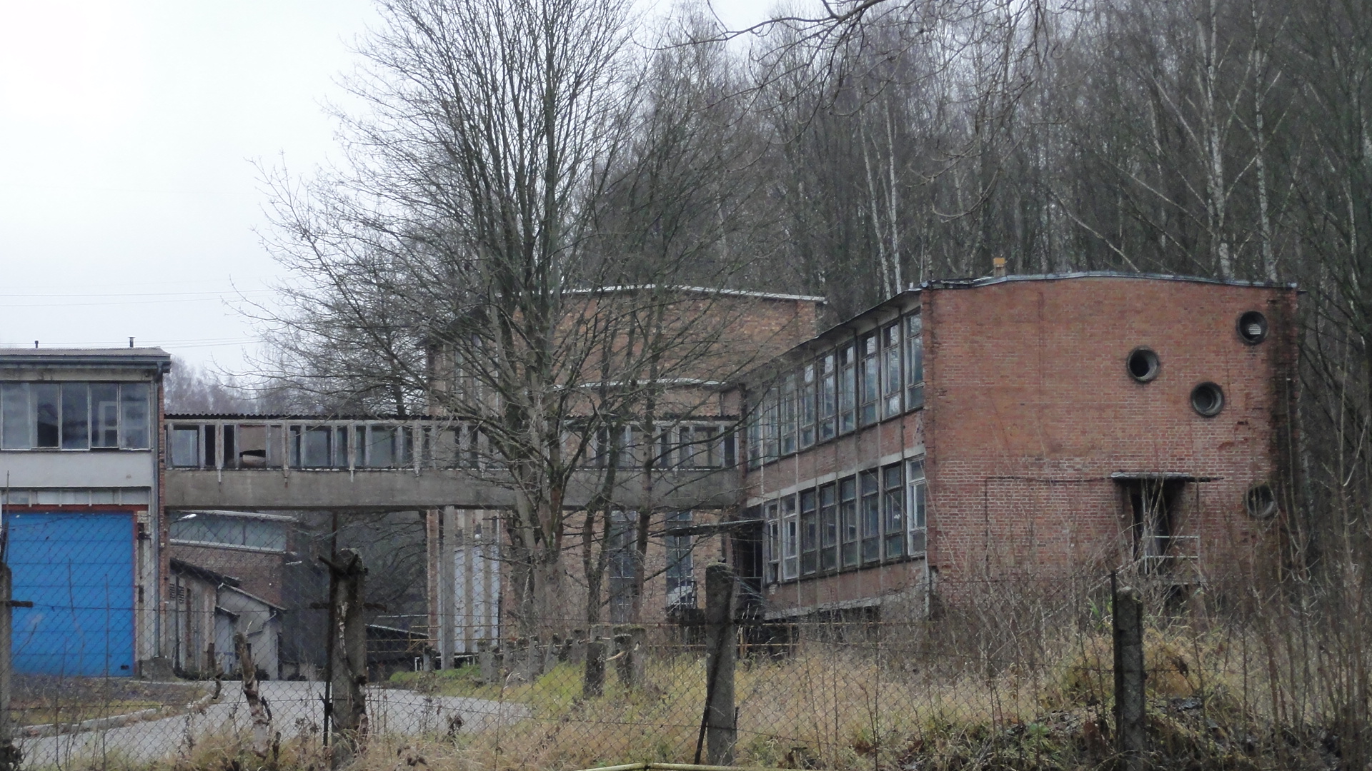
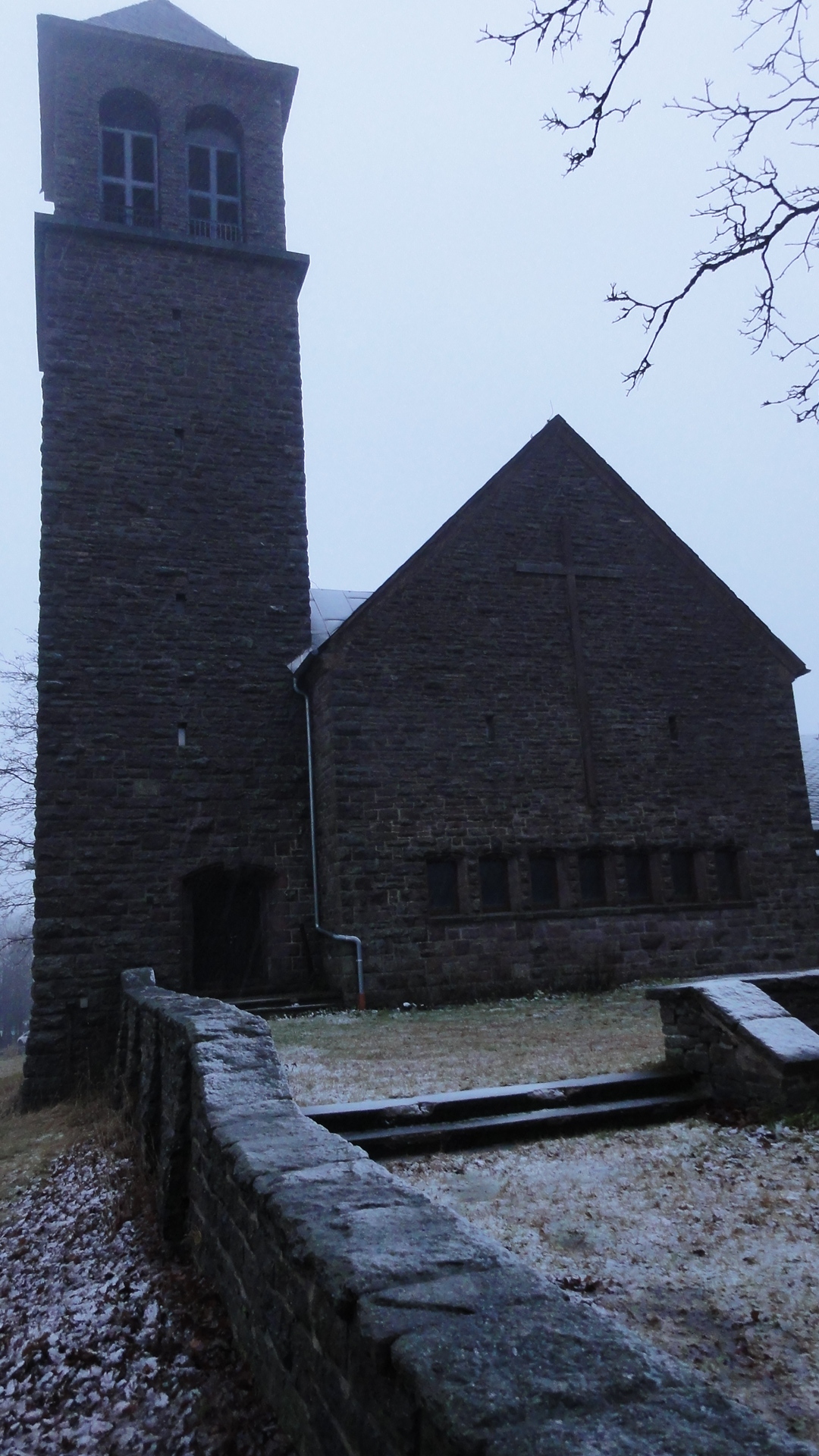
First we found a derelict factory.
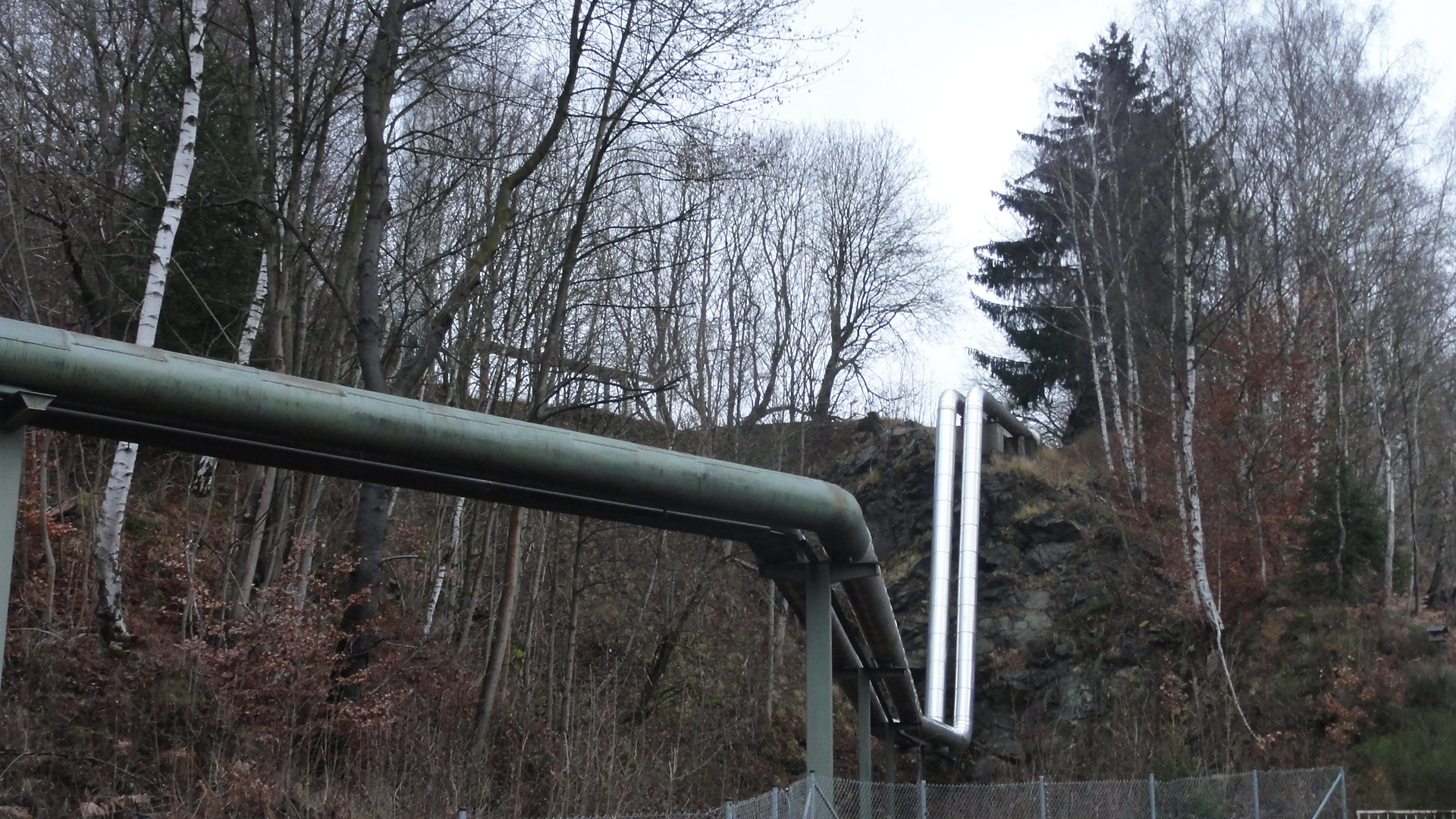
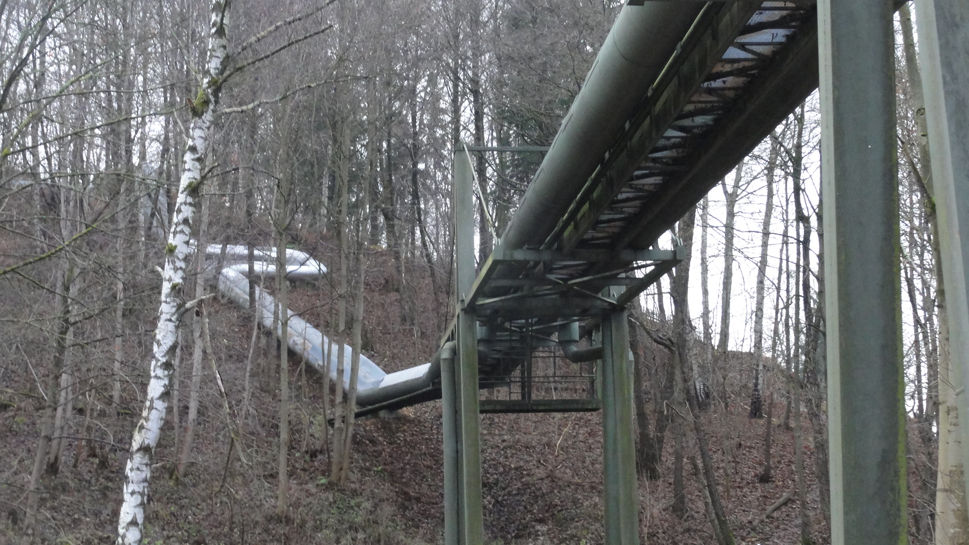
But the pipes are NEW, and pump heating steam from a very modern power plant
(just around the corner) into the nearby "Plattenbau" settlings.
|
|
|
2011:12:03 09:20:12
97.75
© ml
|
|
2011:12:03 09:21:23
 55
© ml 55
© ml
|
|
2011:12:03 09:20:58
 7.5
© ml 7.5
© ml
|
|
2011:12:03 09:20:40
 188
© ml 188
© ml
|
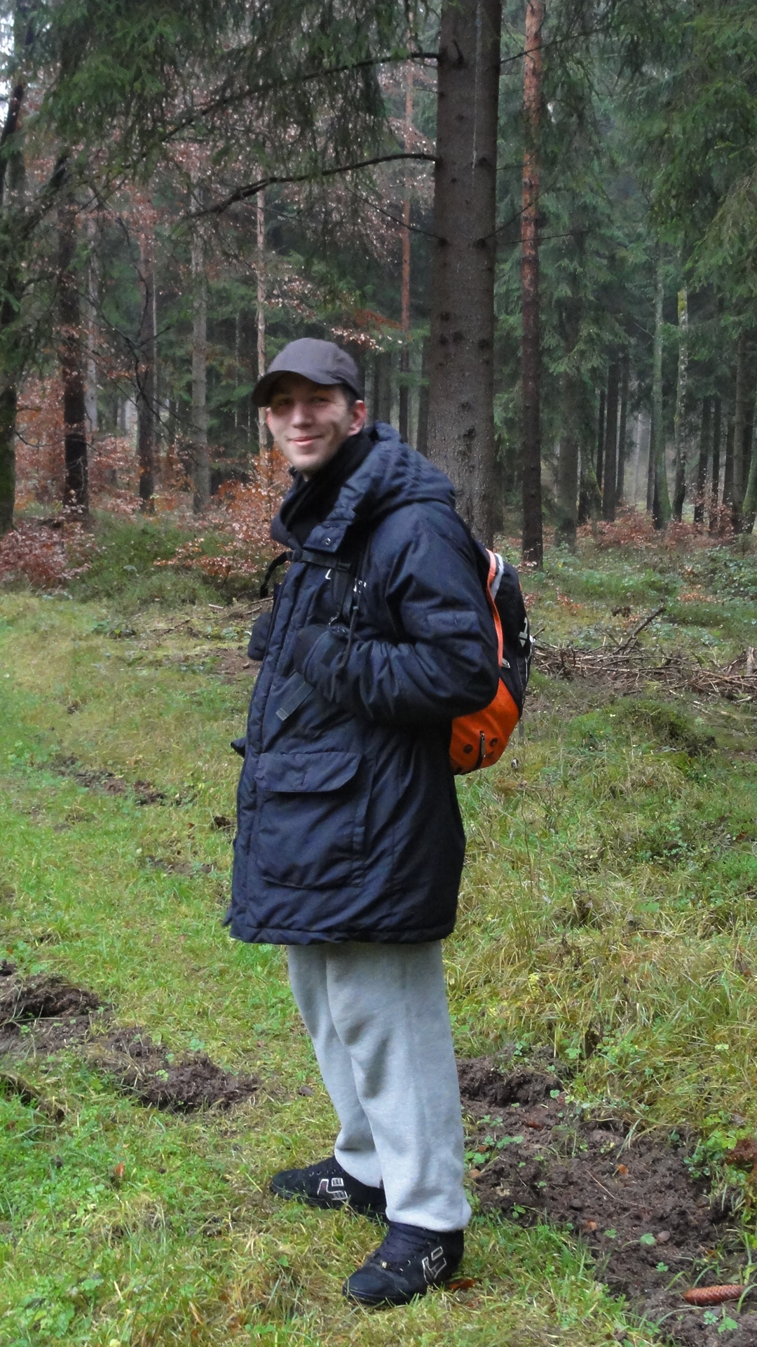
That's me and my friend Norden, before starting our climb:
|
2011:12:03 09:42:45
 218
© ml 218
© ml
|
|
|
2011:12:03 10:11:54
49.25
© ml
|
|
2011:12:03 10:11:27
 303
© ml 303
© ml
|
|
2011:12:03 10:13:20
 26.75
© ml 26.75
© ml
|
|
2011:12:03 10:33:55
 253.75
© ml 253.75
© ml
|
|
|
2011:12:03 10:34:01
194.75
© ml
|
|
|
2011:12:03 10:42:34
54.75
© ml
|
|
2011:12:03 10:43:00
 179
© ml 179
© ml
|

|
|
2011:12:03 10:48:31
45
© ml
|
|
|
2011:12:03 10:48:56
33.25
© ml
|
|
|
2011:12:03 10:49:52
26.75
© ml
|
|
2011:12:03 10:50:34
 114.75
© ml 114.75
© ml
|
|
|
2011:12:03 10:54:45
307
© ml
|
|
2011:12:03 10:55:11
 278.25
© ml 278.25
© ml
|
|
|
2011:12:03 11:00:49
7
© ml
|
|
2011:12:03 11:04:25
 331.25
© ml 331.25
© ml
|
|
|
2011:12:03 11:04:36
23.25
© ml
|

|
2011:12:03 11:07:45
 75.75
© ml 75.75
© ml
|
|
|
2011:12:03 11:10:42
223
© ml
|
|
2011:12:03 11:10:57
 234.5
© ml 234.5
© ml
|
|
|
2011:12:03 11:14:01
76.25
© ml
|
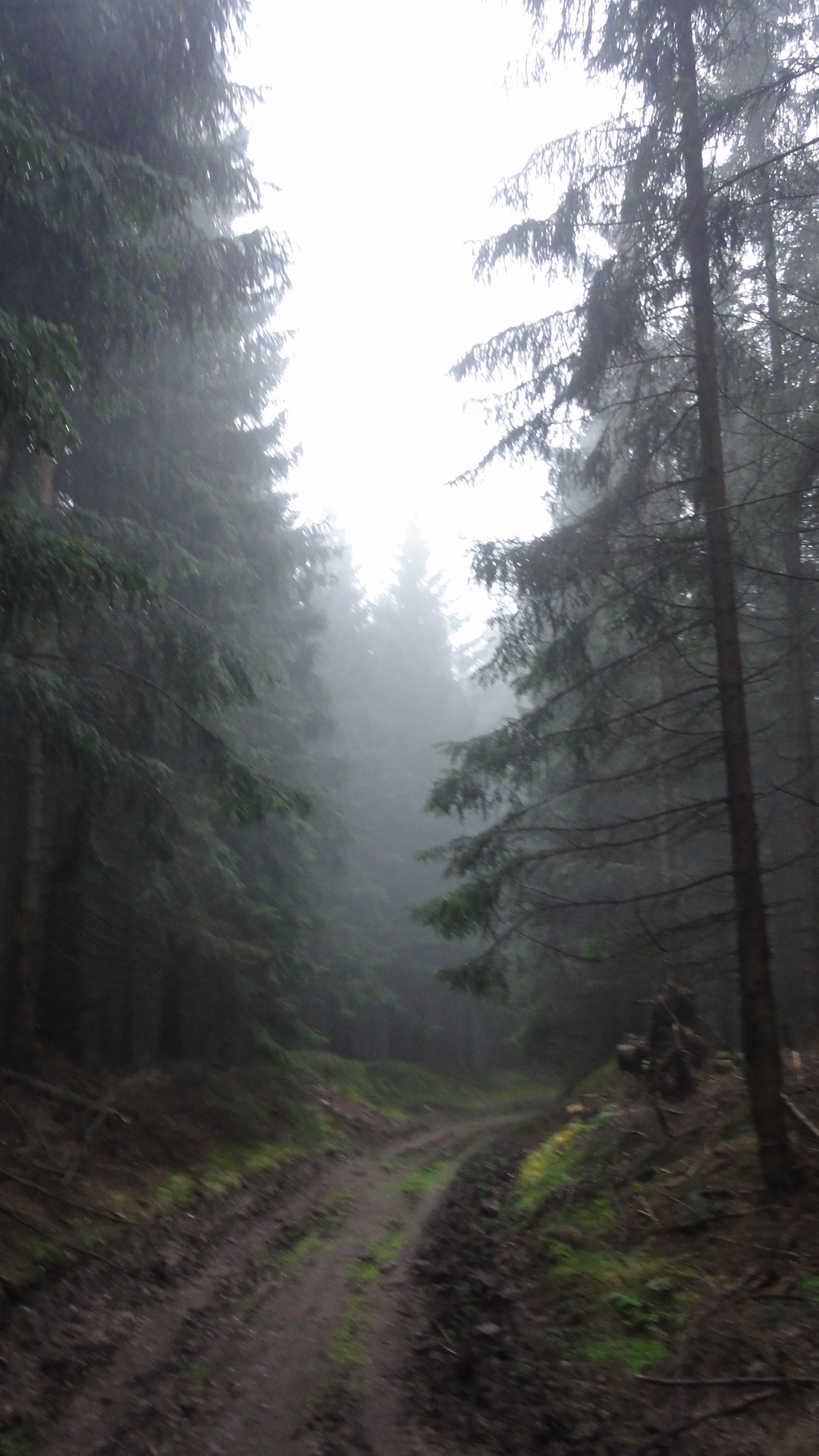
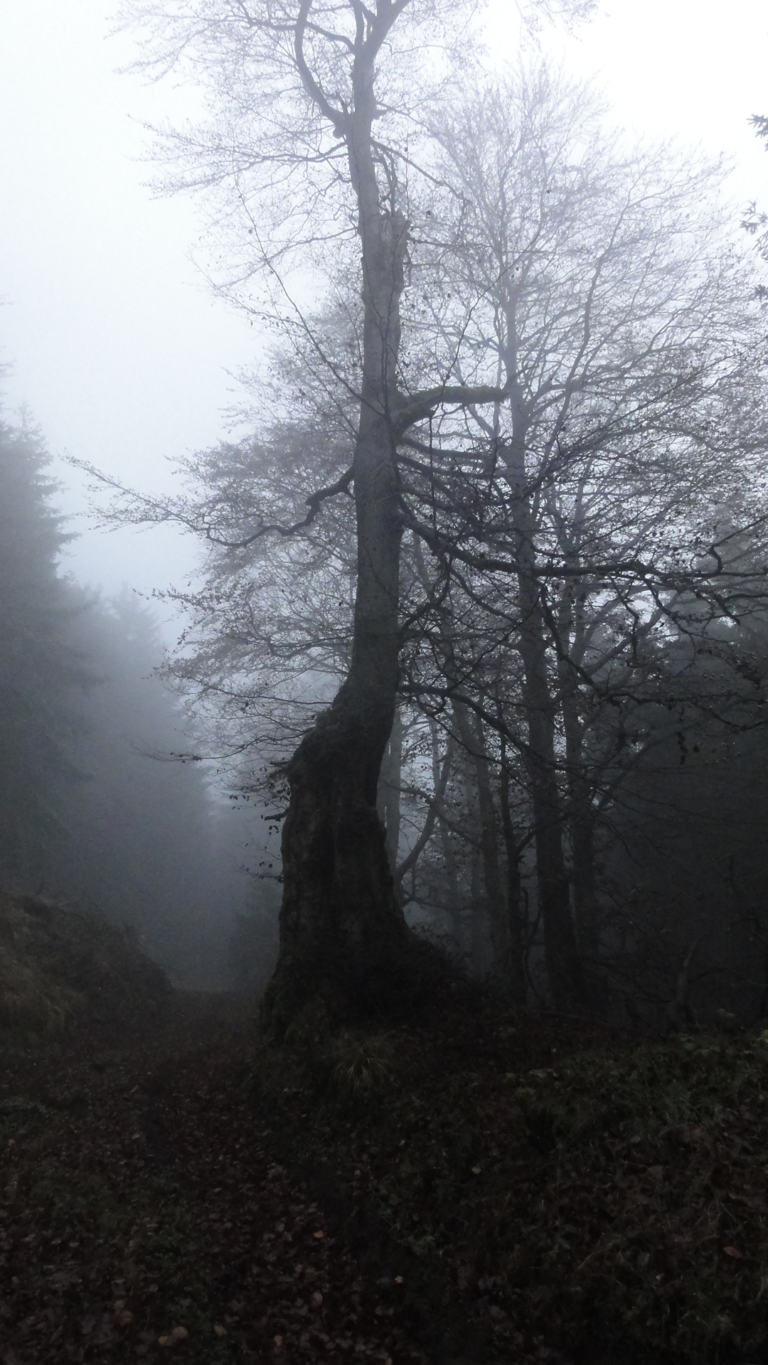
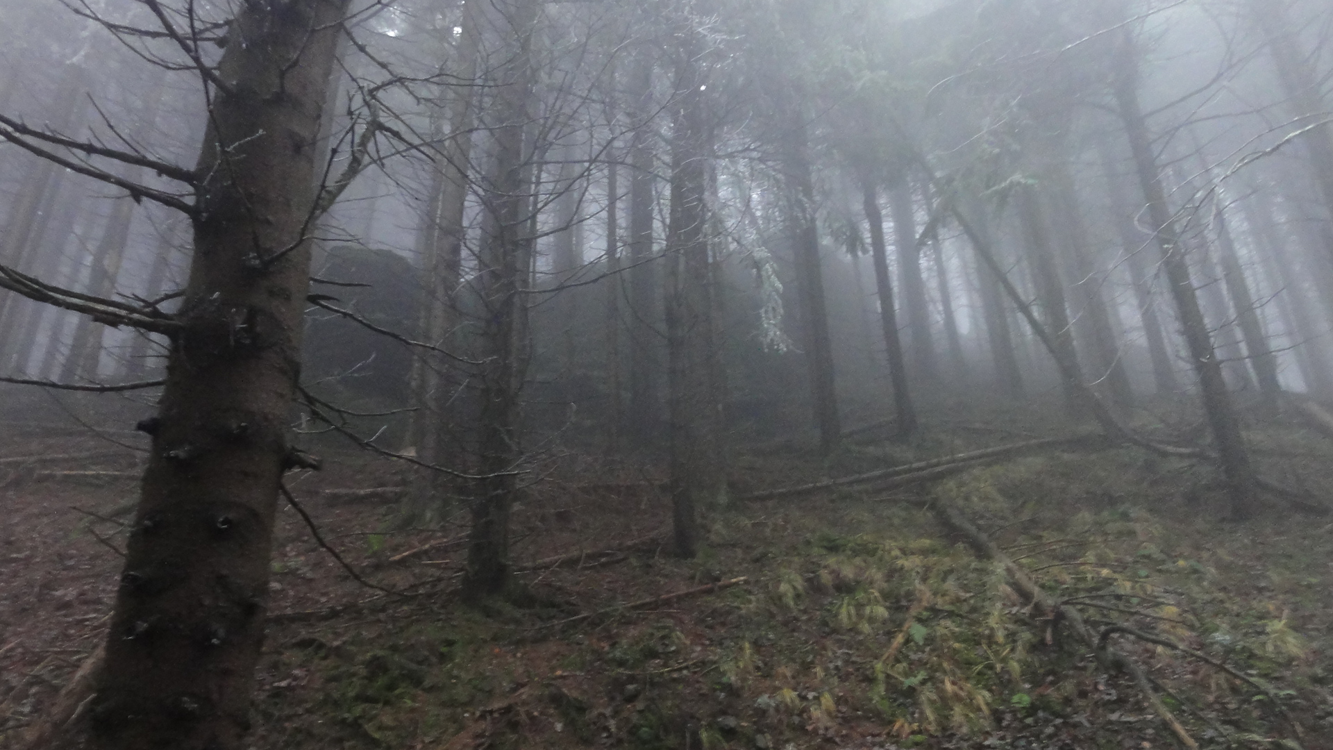
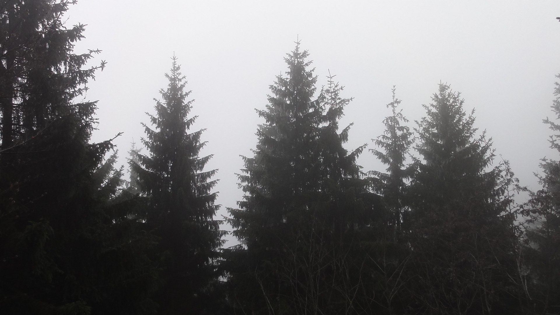
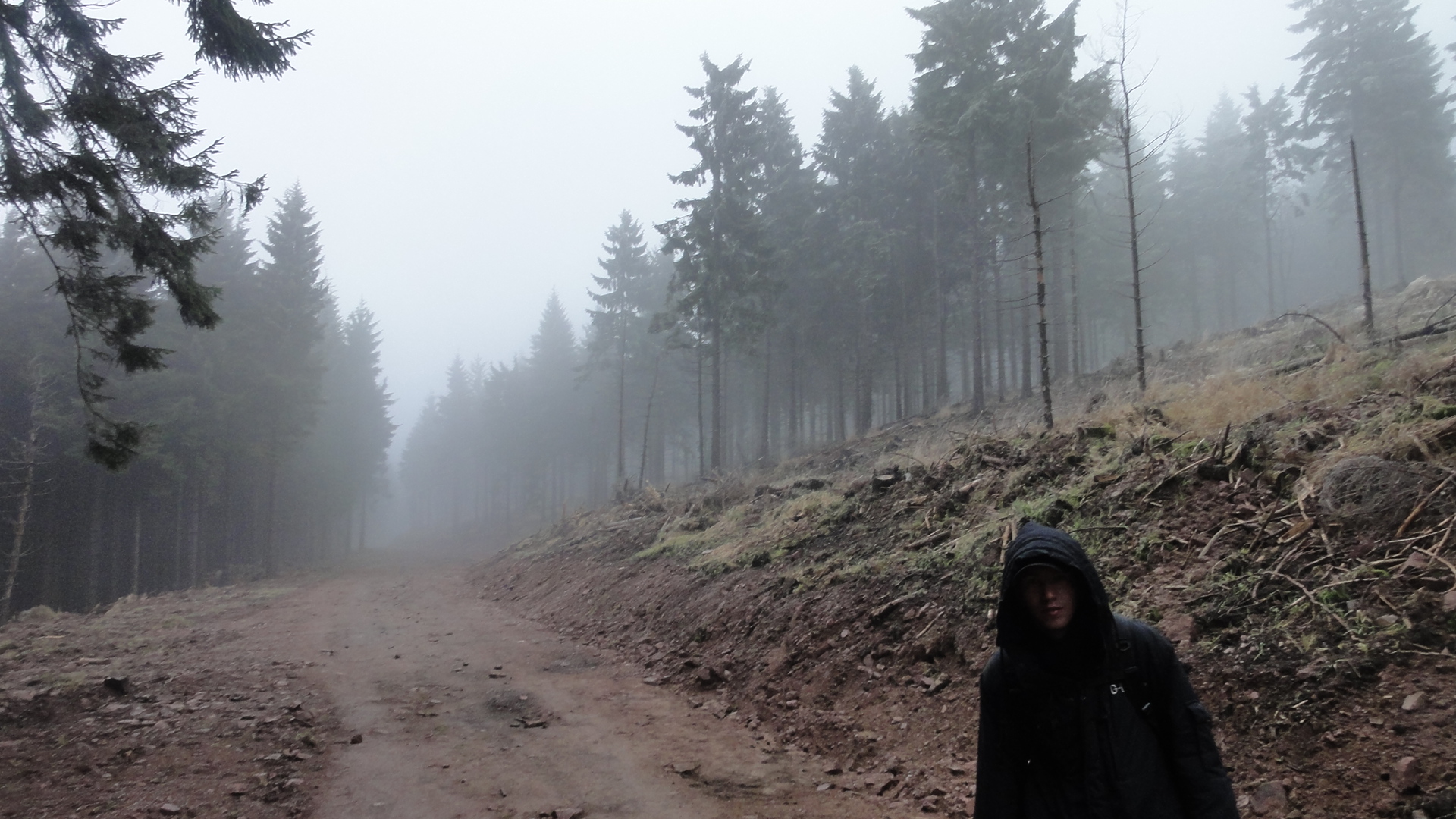
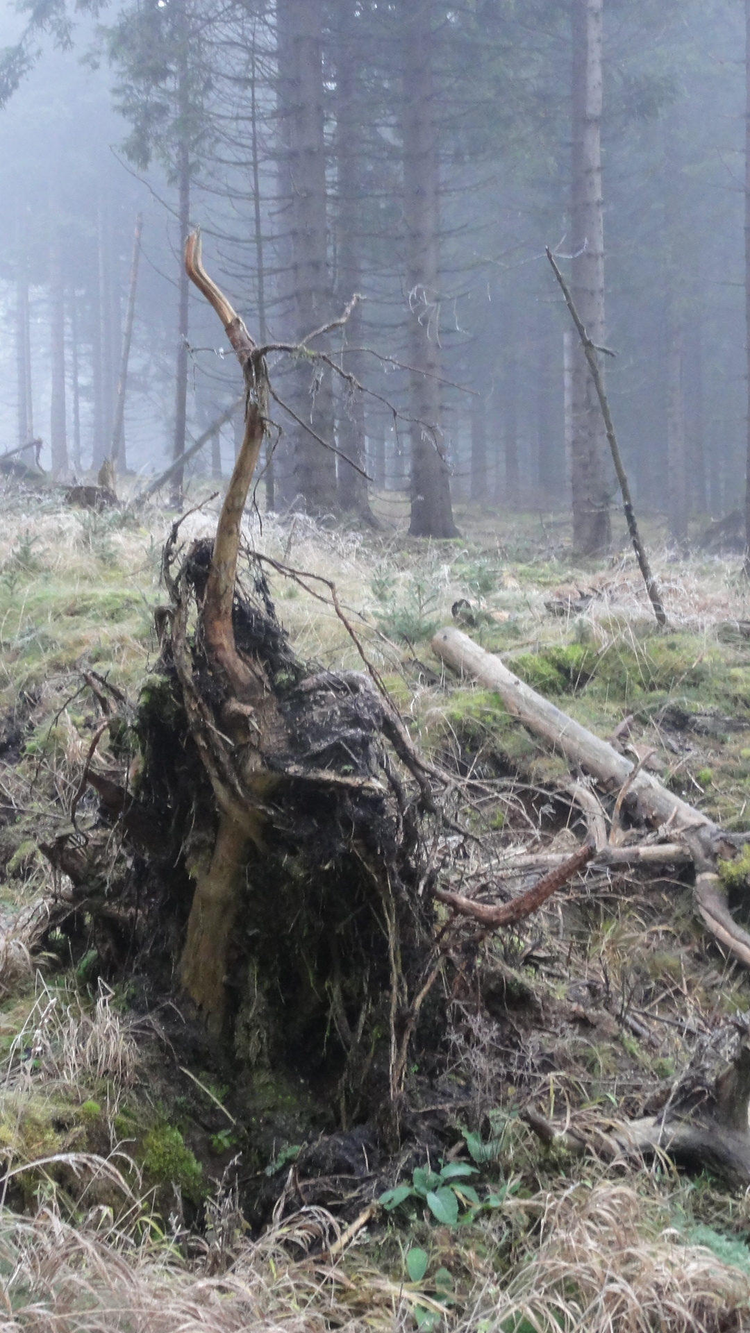
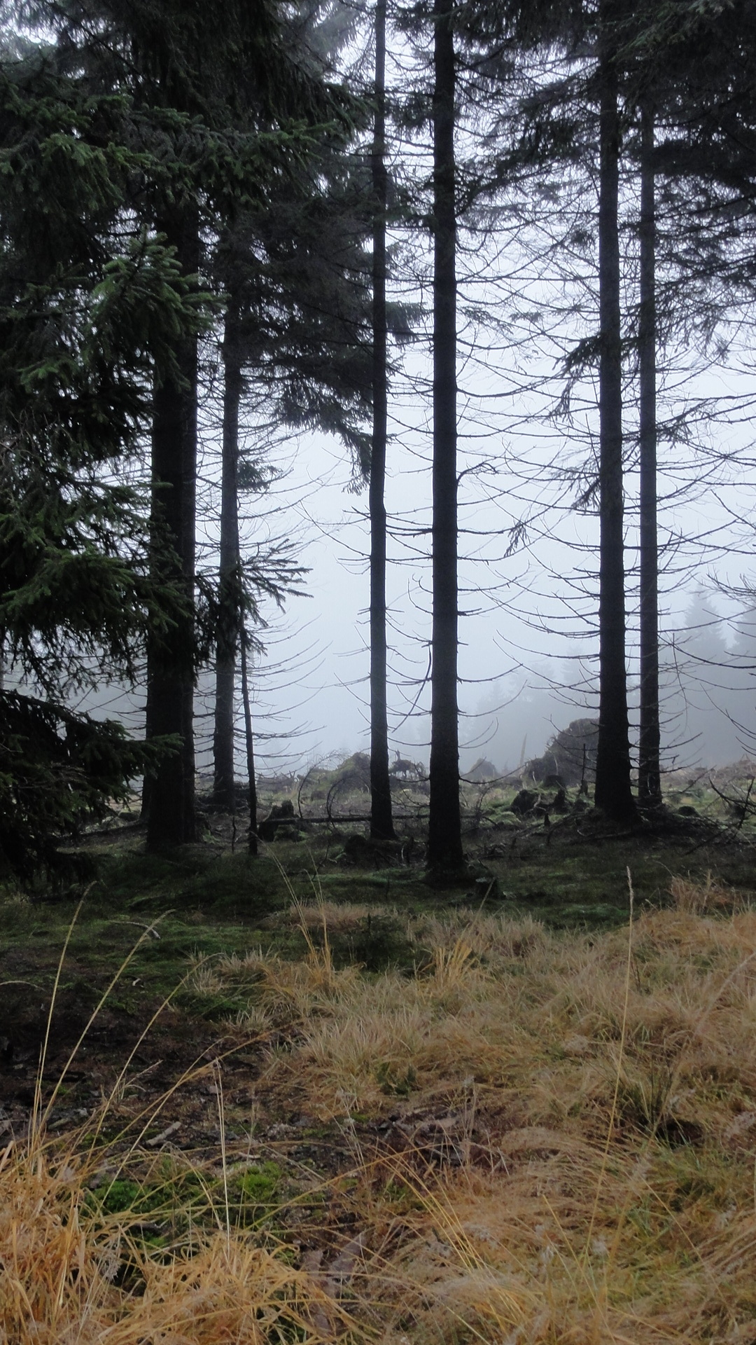
There seems to be a NEW BOOK OF GRUESOME FAIRY-TALES from this
region, published last year, but in German language only.
(Spuk im Winterwald. Sagenhafte, moderne Märchen aus Suhl und dem Rennsteiggebiet.
2010/2011. ISBN 978-3-00-031872-6.)
I haven't read it yet, but
sorting these photos I'm pretty sure that many cruel things
had happend in these bushes, and that we must be happy to bave escaped
unharmed.
|
|
2011:12:03 11:14:19 50 deg 39' 36.00" N, 10 deg 44' 0.49" E
116.75
© ml
|
|
|
2011:12:03 11:20:00 50 deg 39' 36.00" N, 10 deg 44' 0.49" E
336.5
© ml
|
|
2011:12:03 11:20:15 50 deg 39' 36.00" N, 10 deg 44' 0.49" E
 348.5
© ml 348.5
© ml
|
|
|
2011:12:03 11:20:43 50 deg 39' 36.00" N, 10 deg 44' 0.49" E
349.25
© ml
|
|
|
2011:12:03 11:46:09 50 deg 39' 36.00" N, 10 deg 44' 0.49" E
33
© ml
|
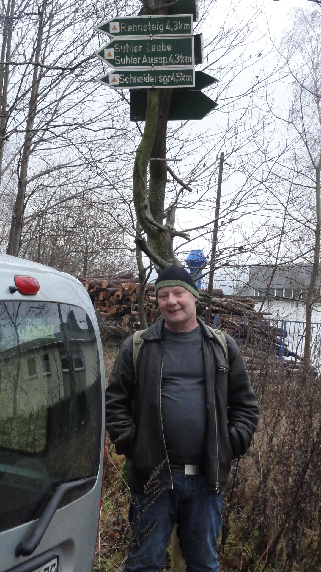
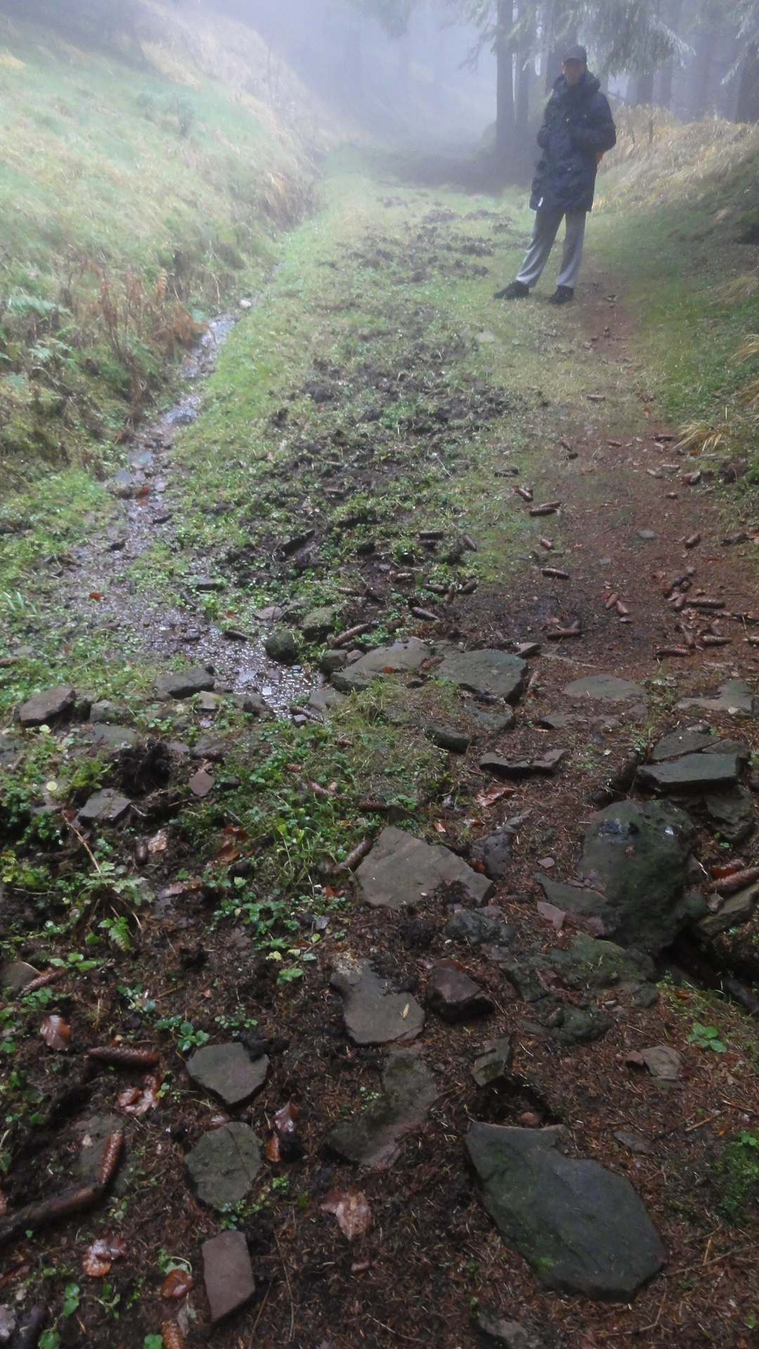
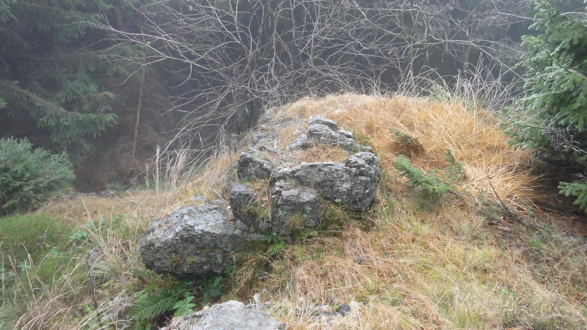
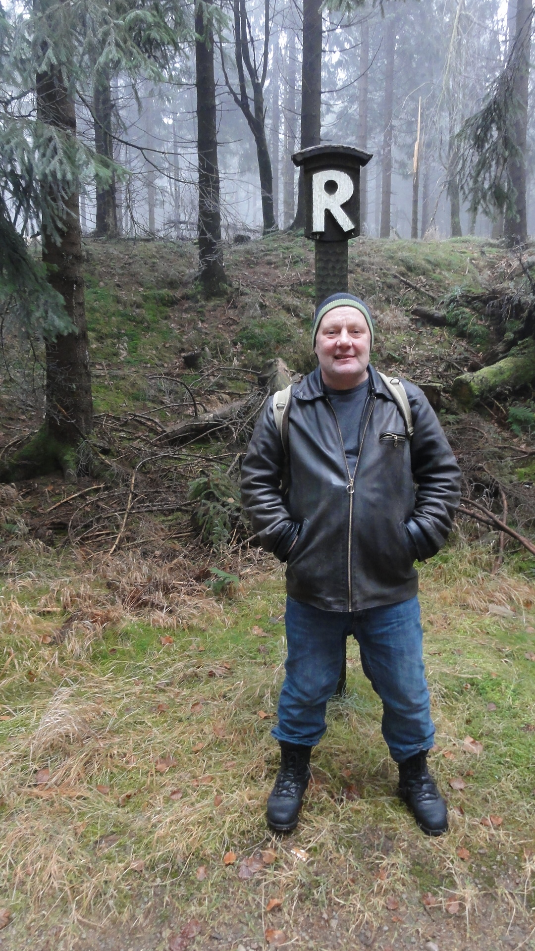
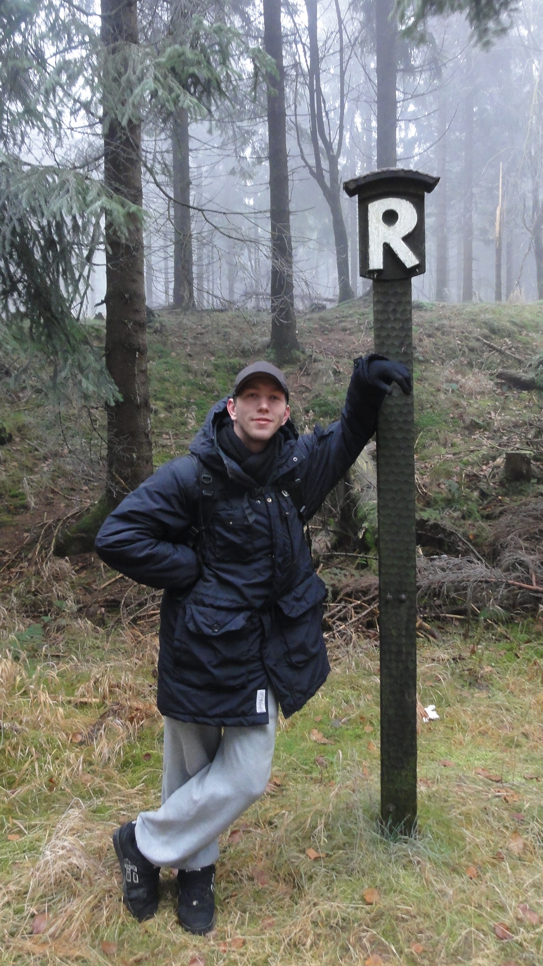
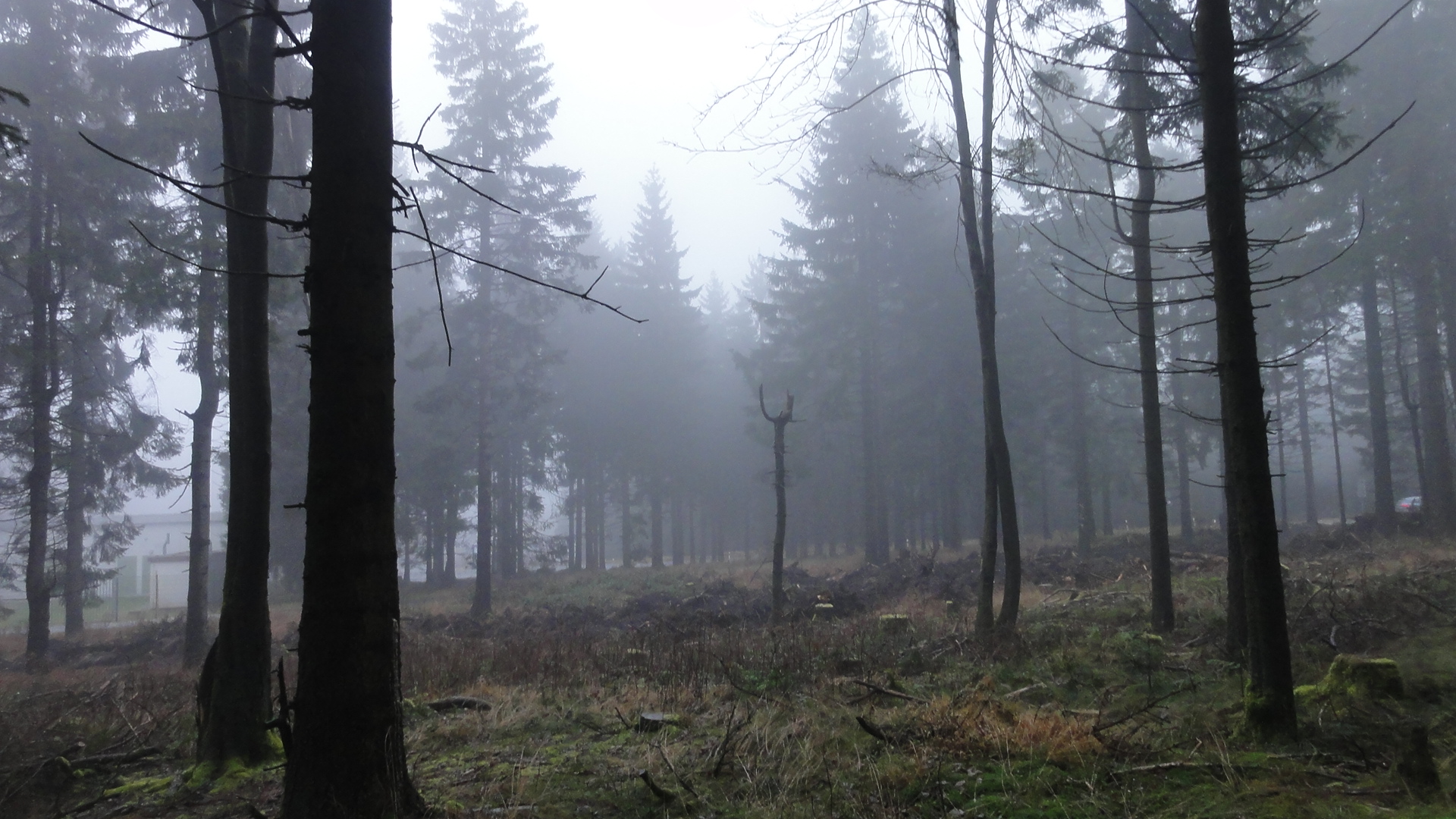
Finally we reached the highest point of our tour, reaching the famous RENNTSTEIG hiking trail.(The Rennsteig is suited also for elder und unexperienced, therefore it's marking signs are esp. BIG and well readble !-)
|
2011:12:03 11:51:10 50 deg 39' 59.76" N, 10 deg 44' 3.66" E
 135.5
© ml 135.5
© ml
|
|
|
2011:12:03 11:51:25 50 deg 39' 59.04" N, 10 deg 44' 4.92" E
131.25
© ml
|
|
|
2011:12:03 11:57:16 50 deg 39' 59.12" N, 10 deg 44' 5.09" E
359.75
© ml
|

|
|
2011:12:03 12:02:09 50 deg 40' 22.50" N, 10 deg 44' 7.54" E
346.5
© ml
|

|
|
2011:12:03 12:06:21 50 deg 40' 24.93" N, 10 deg 44' 2.45" E
301.25
© ml
|
|
|
2011:12:03 12:06:27 50 deg 40' 24.93" N, 10 deg 44' 2.45" E
84.25
© ml
|
|
|
2011:12:03 12:07:59 50 deg 40' 34.55" N, 10 deg 43' 57.92" E
218
© ml
|
|
|
2011:12:03 12:08:09 50 deg 40' 37.18" N, 10 deg 43' 57.34" E
177
© ml
|
|
|
2011:12:03 12:17:38 50 deg 40' 38.08" N, 10 deg 43' 54.46" E
317
© ml
|
|
|
2011:12:03 12:24:29 50 deg 40' 38.08" N, 10 deg 43' 54.46" E
39
© ml
|
|
|
2011:12:03 12:24:38 50 deg 40' 38.08" N, 10 deg 43' 54.46" E
10
© ml
|
|
|
2011:12:03 12:26:07 50 deg 40' 38.08" N, 10 deg 43' 54.46" E
72.25
© ml
|
|
|
2011:12:03 12:42:10 50 deg 40' 38.08" N, 10 deg 43' 54.46" E
30
© ml
|

|
|
2011:12:03 12:42:26 50 deg 40' 38.08" N, 10 deg 43' 54.46" E
38.75
© ml
|
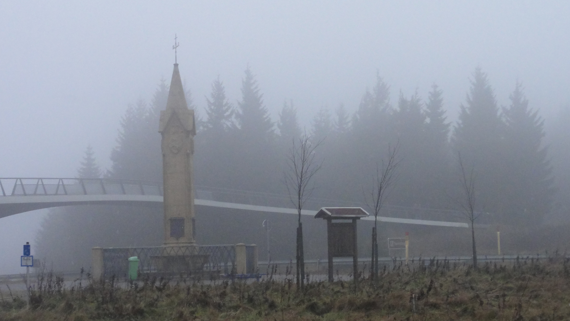
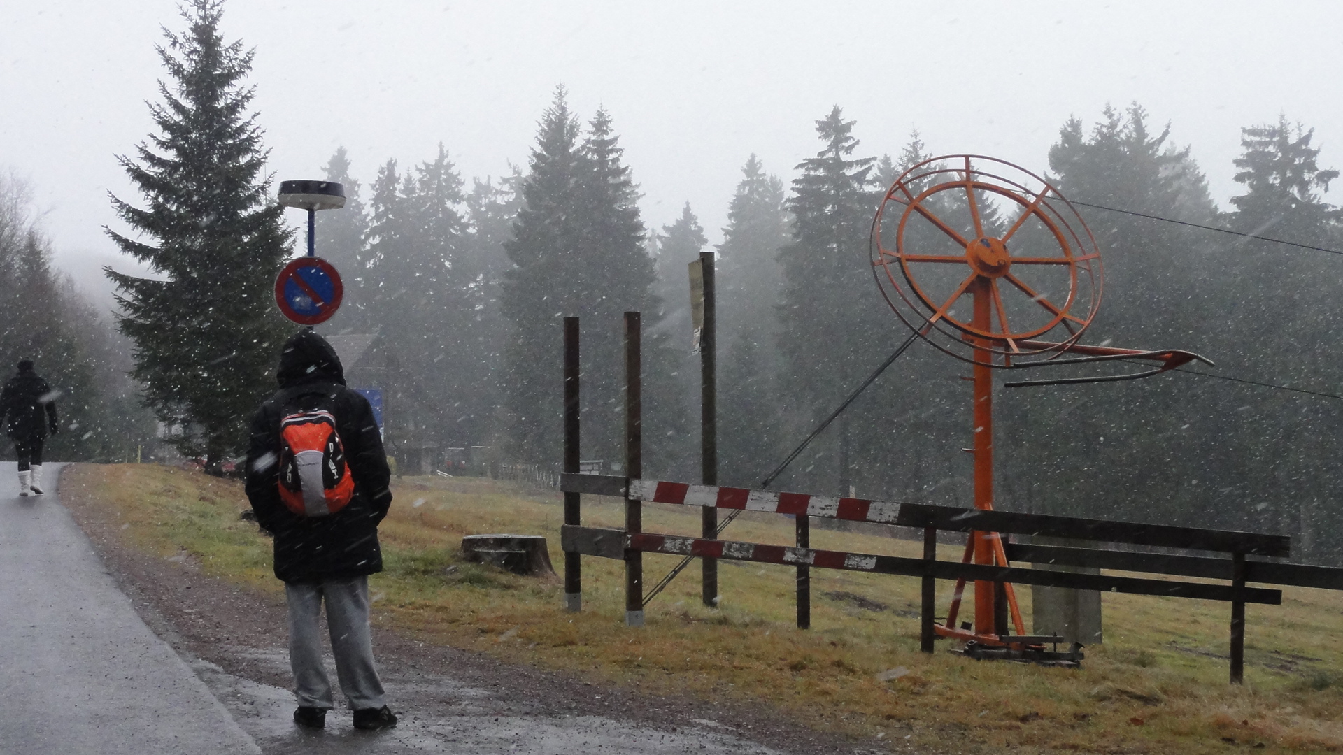
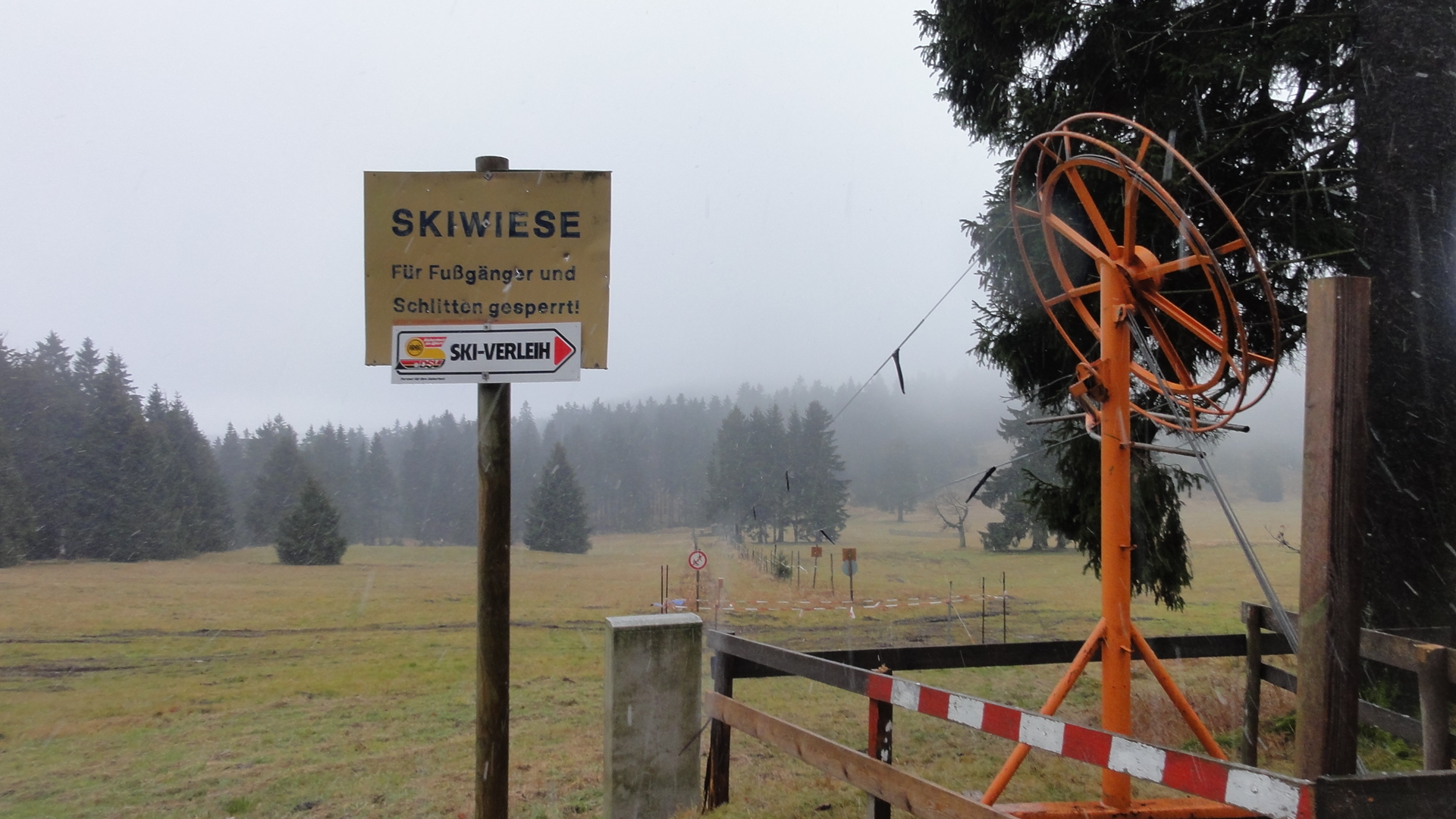
Finally we reached OBERHOF. The place we entered is called RONDELL:
|
|
2011:12:03 12:47:00 50 deg 40' 38.08" N, 10 deg 43' 54.46" E
283.5
© ml
|
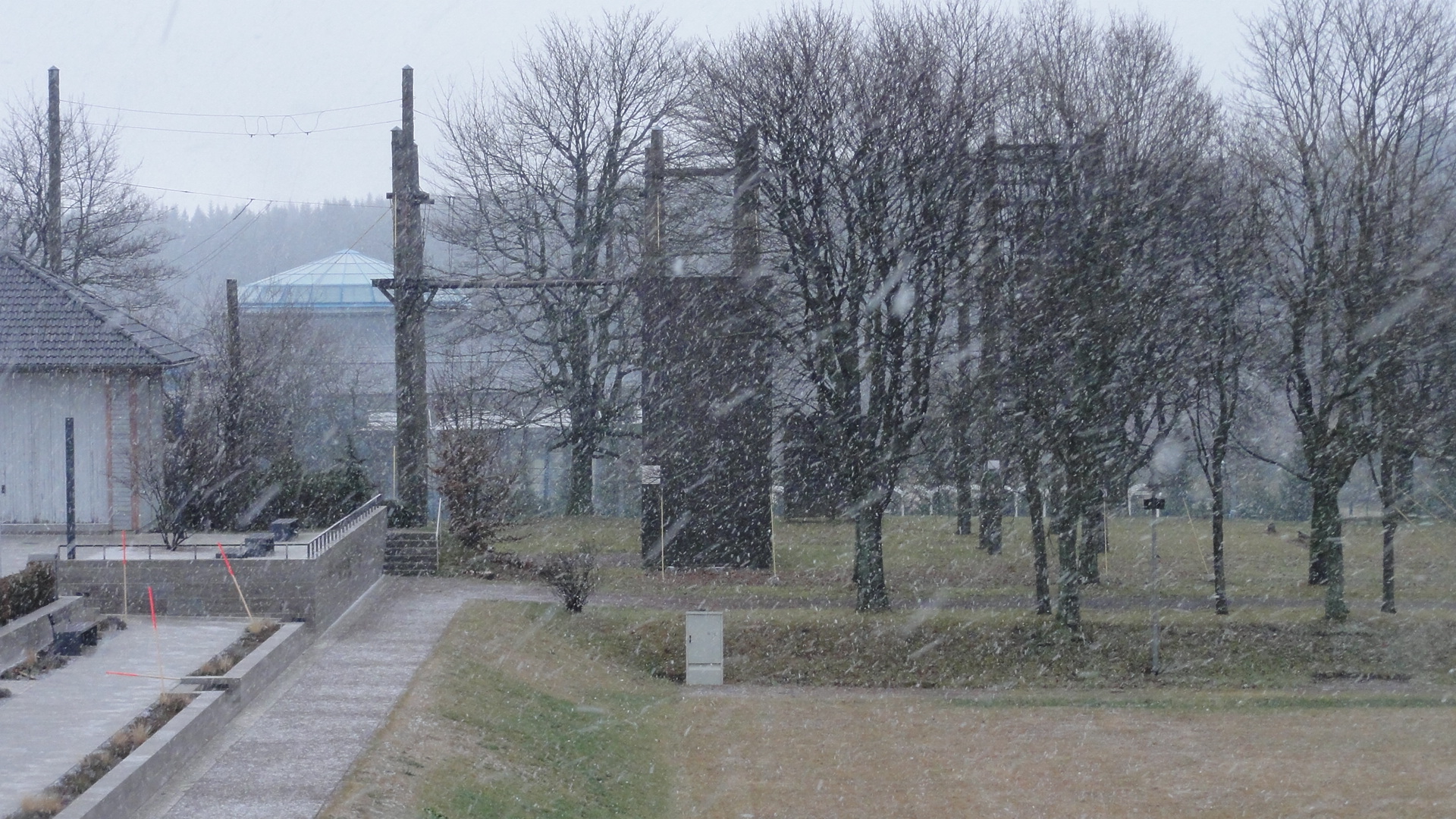
It really started to snow:
|
|
2011:12:03 12:55:06 50 deg 41' 39.91" N, 10 deg 43' 14.11" E
37
© ml
|
|
|
2011:12:03 12:55:36 50 deg 41' 56.83" N, 10 deg 43' 24.92" E
99.75
© ml
|
|
|
2011:12:03 12:59:58 50 deg 41' 58.24" N, 10 deg 43' 26.78" E
29
© ml
|

|
|
2011:12:03 13:00:32 50 deg 42' 5.96" N, 10 deg 43' 31.25" E
14
© ml
|
|
|
2011:12:03 13:04:18 50 deg 42' 6.02" N, 10 deg 43' 31.25" E
351.25
© ml
|
|
|
2011:12:03 13:07:04 50 deg 42' 6.02" N, 10 deg 43' 31.25" E
253.75
© ml
|

|
|
2011:12:03 13:10:04 50 deg 42' 16.58" N, 10 deg 43' 27.20" E
56.5
© ml
|
|
|
2011:12:03 13:12:14 50 deg 42' 25.23" N, 10 deg 43' 29.69" E
82
© ml
|
|
|
2011:12:03 15:50:09 50 deg 42' 25.41" N, 10 deg 43' 30.08" E
118.75
© ml
|
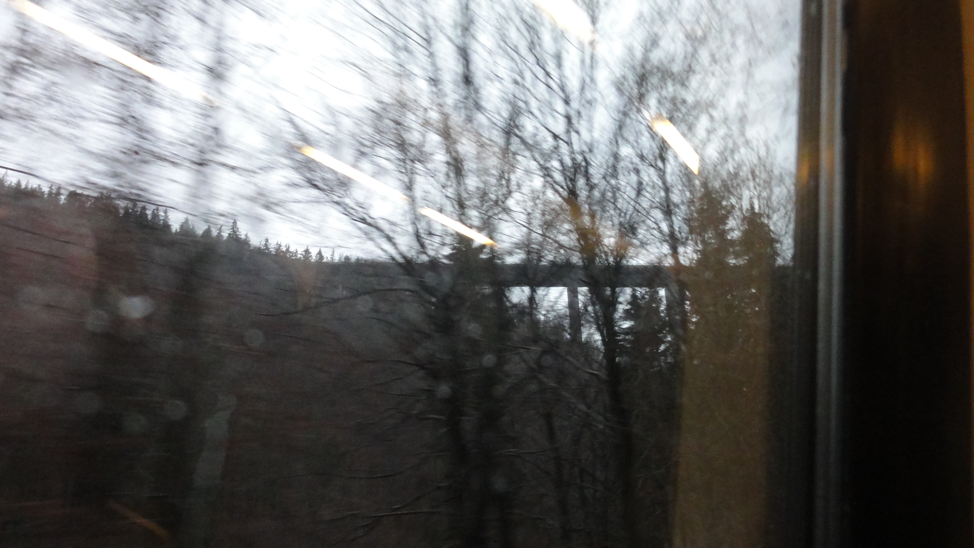
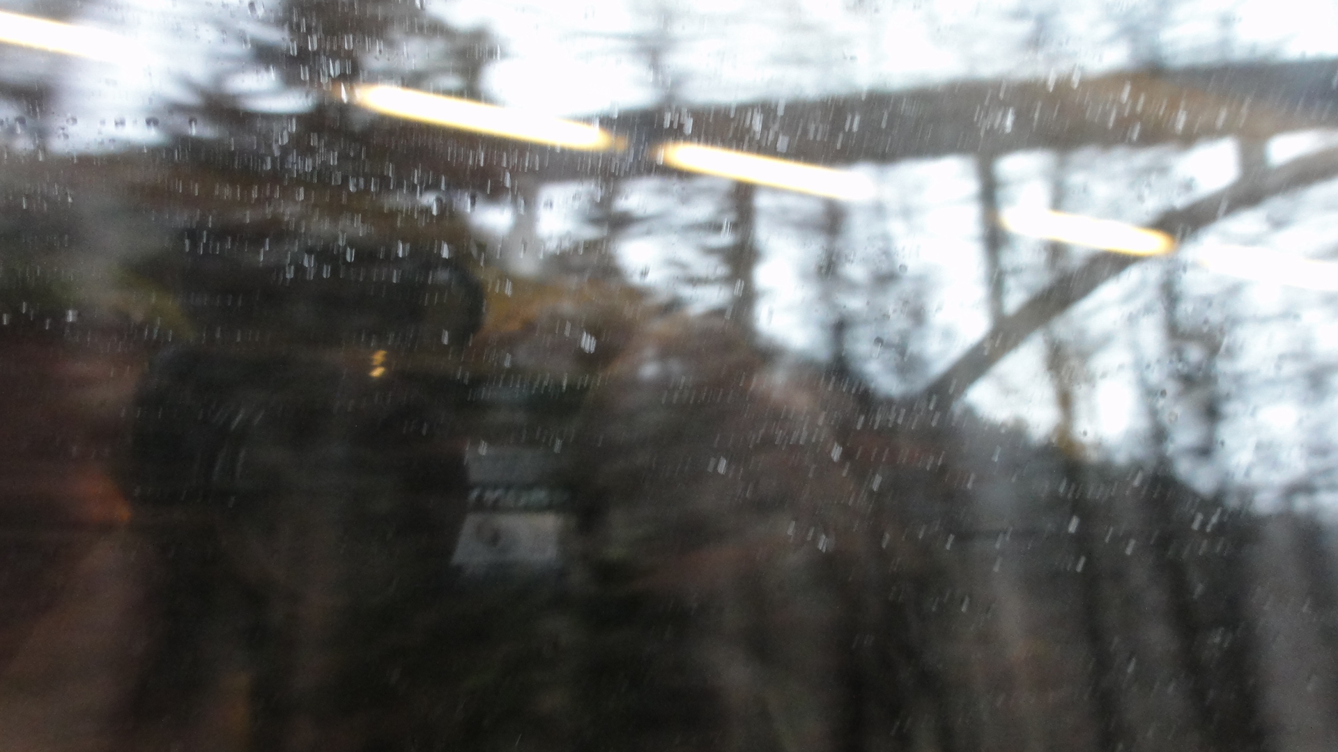
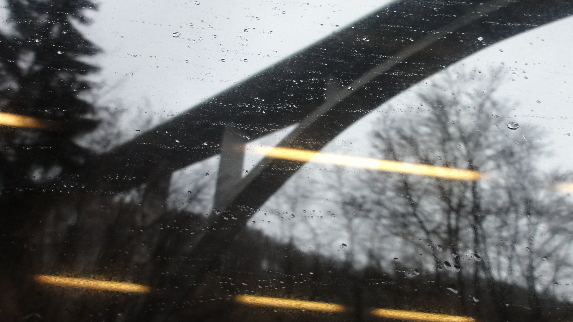
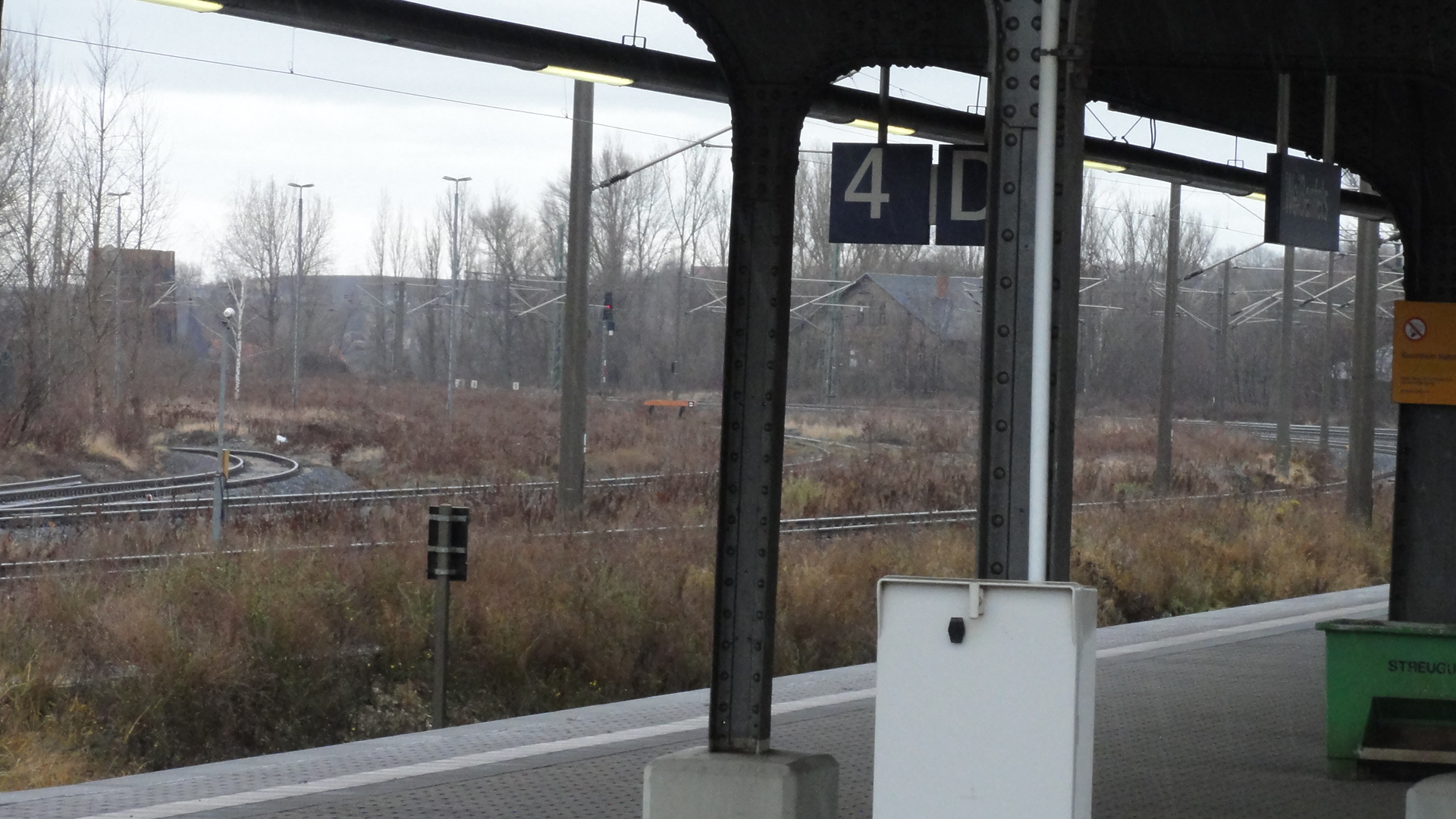
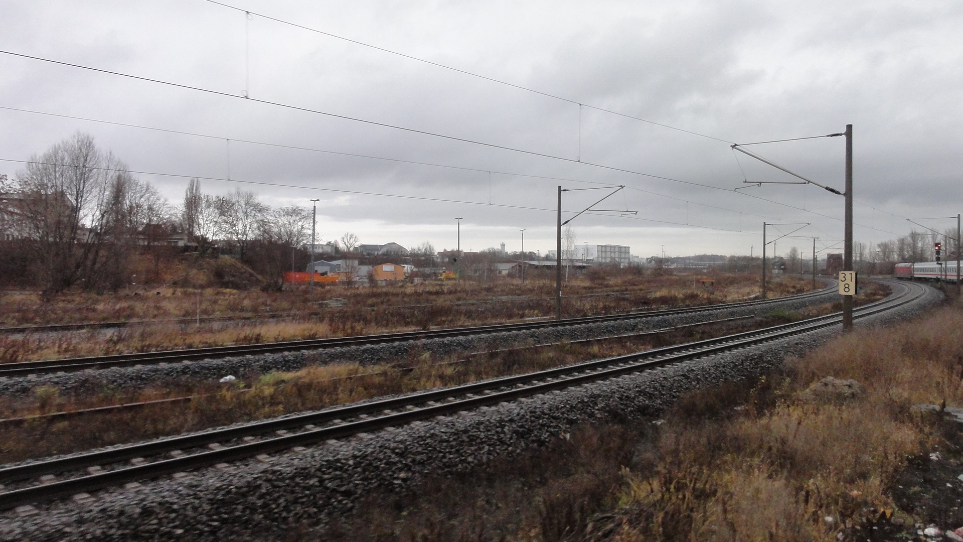
Next day we went home again. Norden towards Stuttgart, me to Berlin. From the train a caught a glimpse to the famous "TALBRÜCKE WILDE GERA" ("Wild Gera Village Bridge"). The photos are very en passant, namely from the running train.
|
|
2011:12:04 09:47:59 276.75
© ml
|
|
|
2011:12:04 09:48:05 197
© ml
|
|
|
2011:12:04 09:48:09 214.5
© ml
|
|
|
2011:12:04 09:48:15 121.5
© ml
|
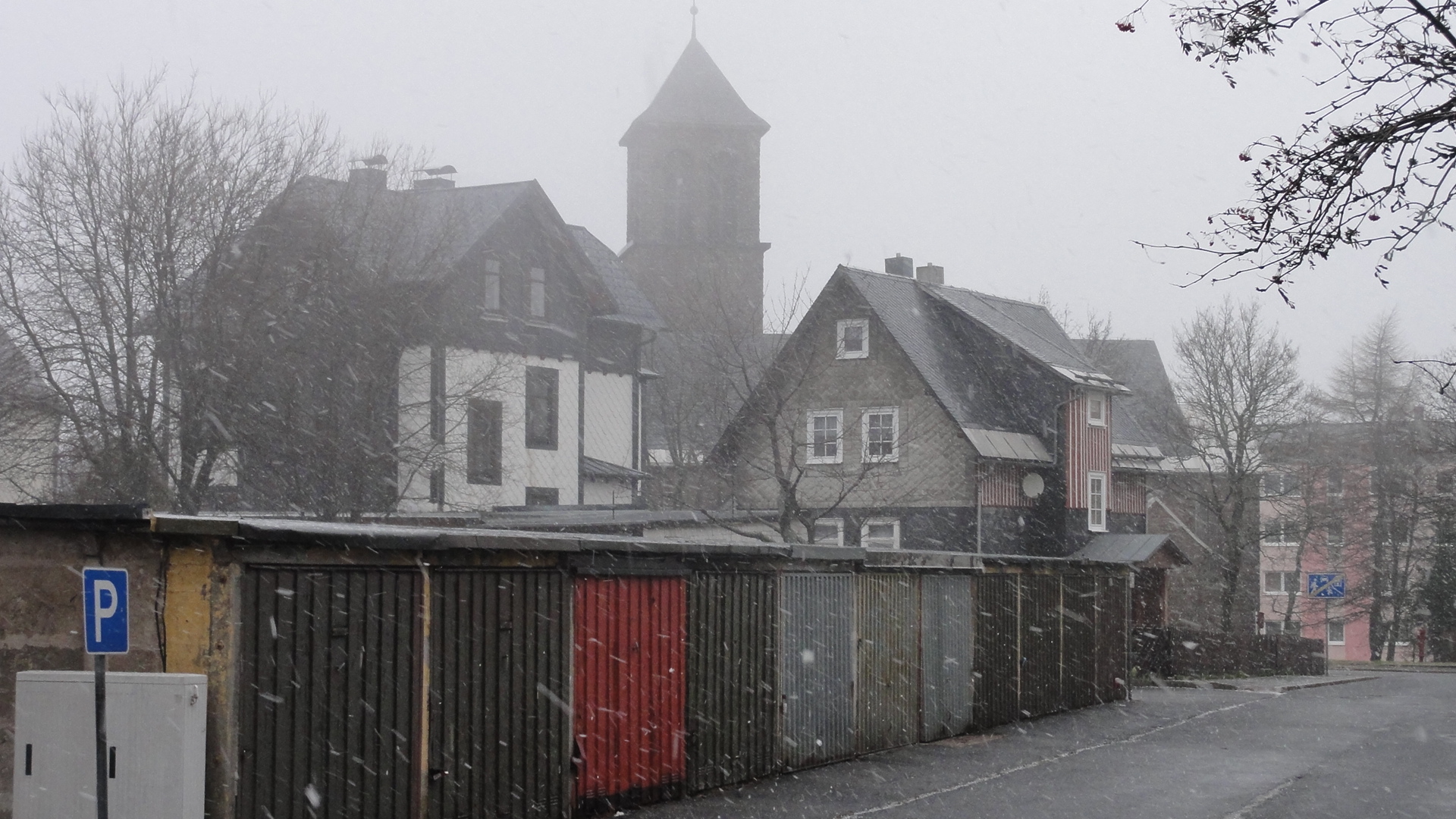
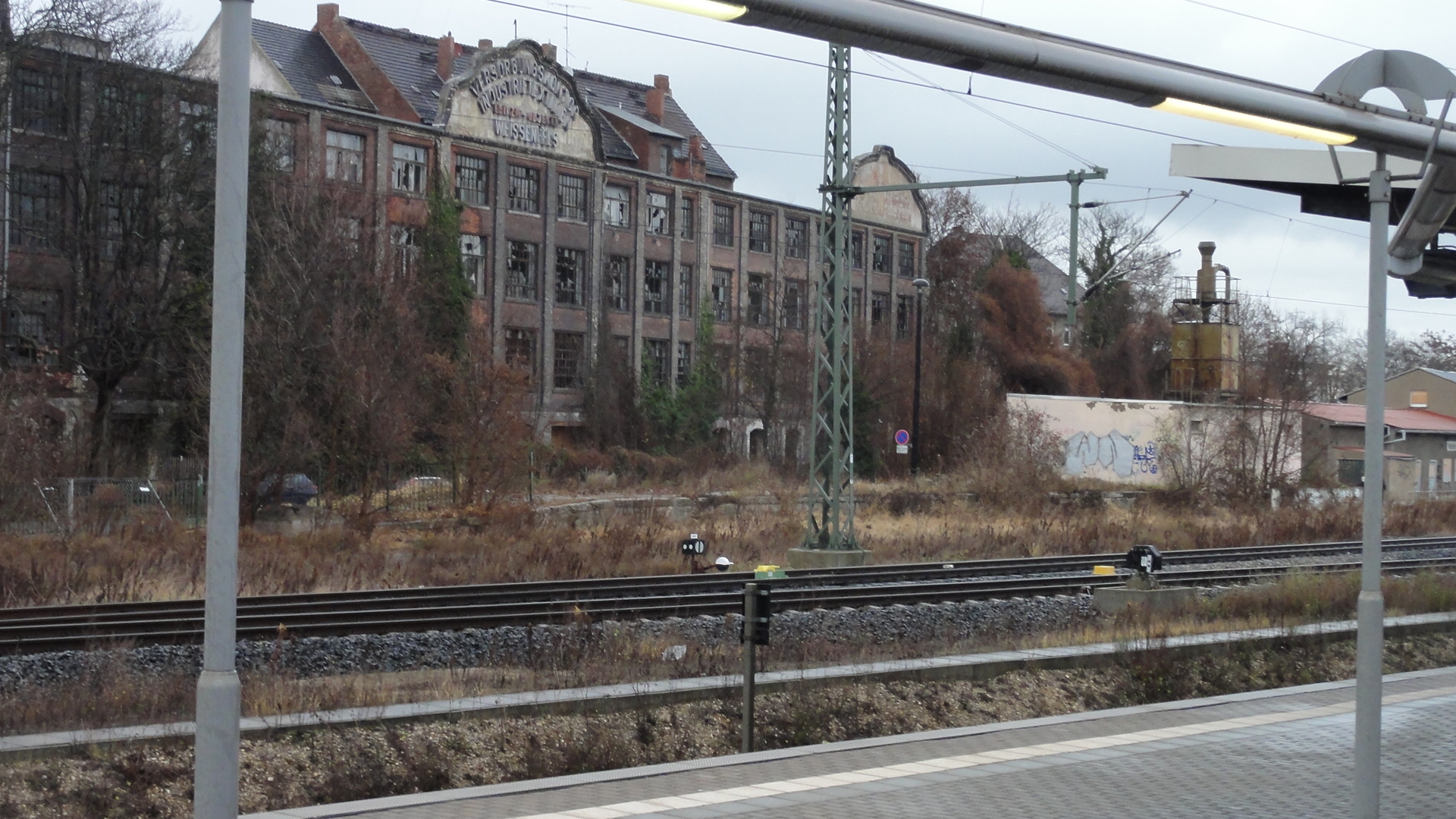
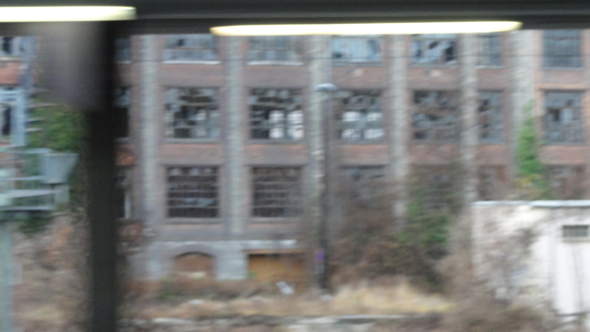
This was the next larger town on my way home. I don't remember the name (and the GPS is once again spoilt!). This seems to be the typical de-industrialized East, but devasted factories and large former train areas can be found also in the Ruhrgebiet and even in Berlin!
|
|
2011:12:04 11:35:26 33
© ml
|
|
|
2011:12:04 11:36:40 15.5
© ml
|
|
|
2011:12:04 11:35:46 48.25
© ml
|
|
|
2011:12:04 11:36:56 28.25
© ml
|
back to photos' home / zurück zur Photo-Übersicht
made
2013-09-08_10h59
on
heine


markuslepper.eu
produced with
eu.bandm.metatools.d2d
and
XSLT
FYI view
page source text