 335.25
°
©
ml
335.25
°
©
ml
Autumn Tours
1
Preface / Vorwort
2
Tour through the lovely Erpe-Tal
3
Bus-Tour to Marzahn
4
Tour from Grünau to Schmökwitz
5
From Köpenick to the Müggelberge
back to photos' home / zurück zur Photo-Übersicht
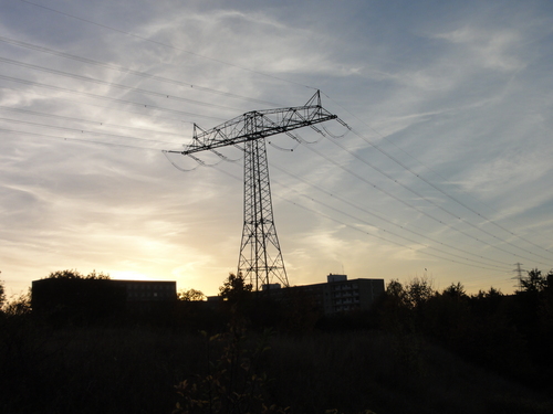
With this page I start a small series of hiking tours around Berlin.
Please note that my tours are famous and you need durable footwear!!
There are currently no maps, but the GPS coordinates and the description texts should be enough for any experienced wanderer. (Others shouldn't try anyhow !-)
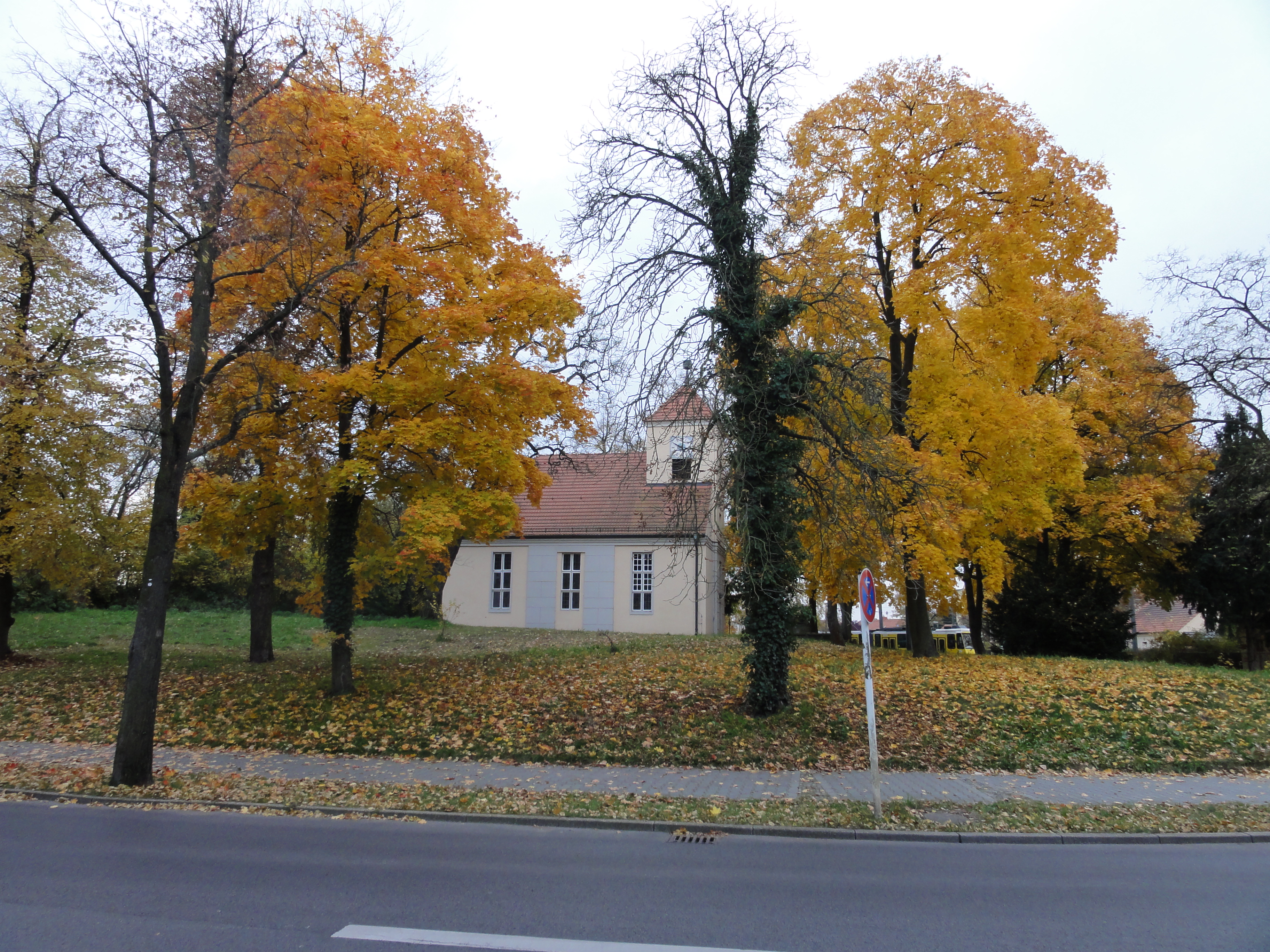
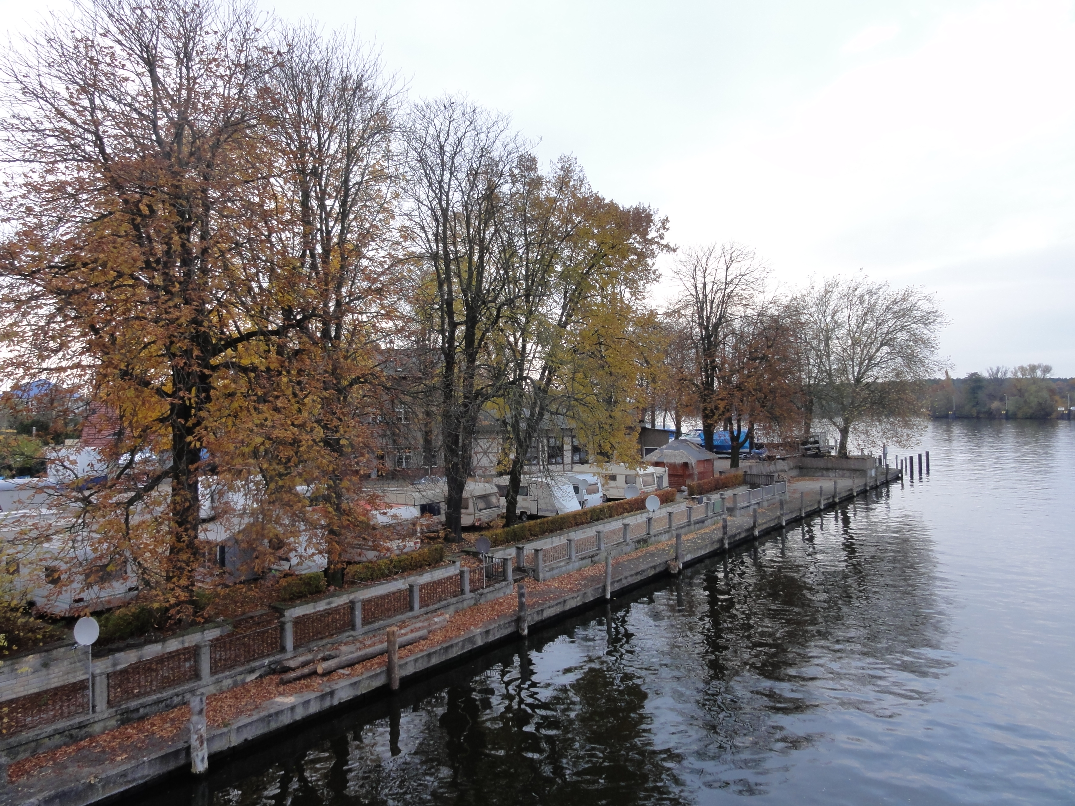
The tour starts at the S-Bahn "Hirschgarten". You can also go to "Friedrichshagen" and start following the Erpe immediately. Then you can see the "Kurpark" of Friedrichshagen.
The Erpe is (mostly at her beginning) also called "Neuenhagener Mühlenfließ", (which is, by the way, a good excercise for German pronunciation!) so don't get confused, you're probably right.
I always intended to do start at Friedrichshagen, but in the last second always decided to hop off already at Hirschgarten. (I fear I'll never get to know the Kurpark !-)
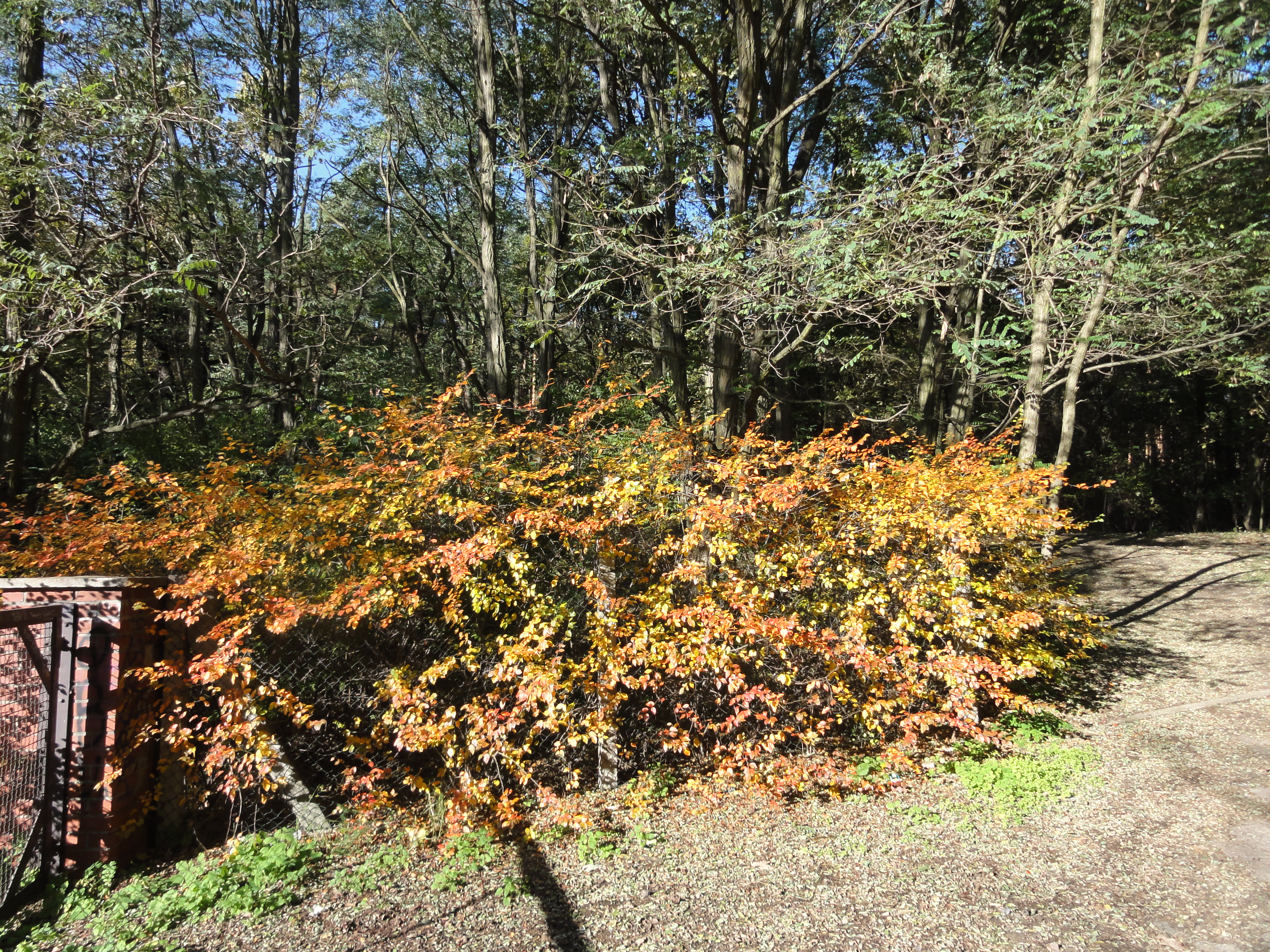
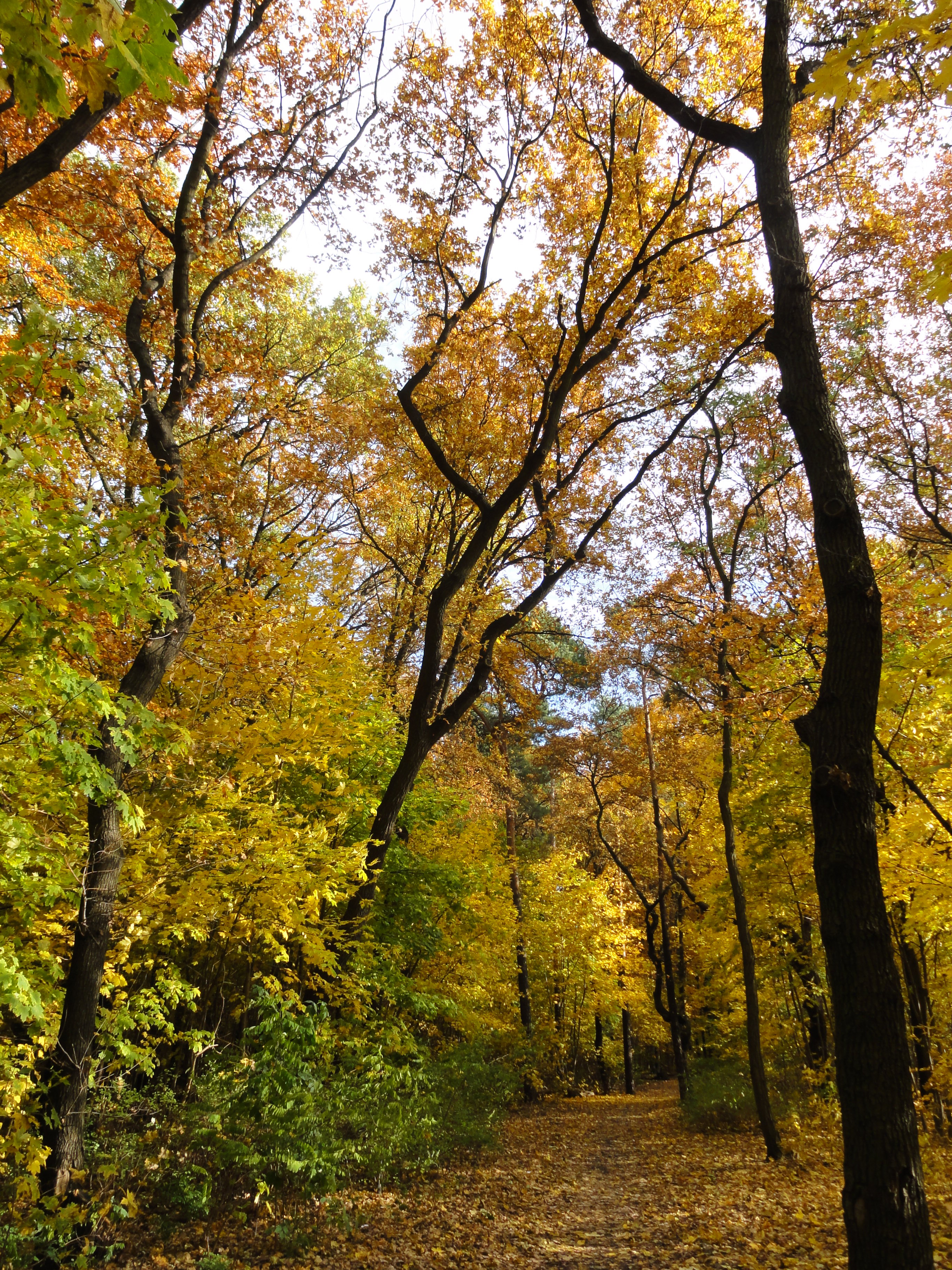
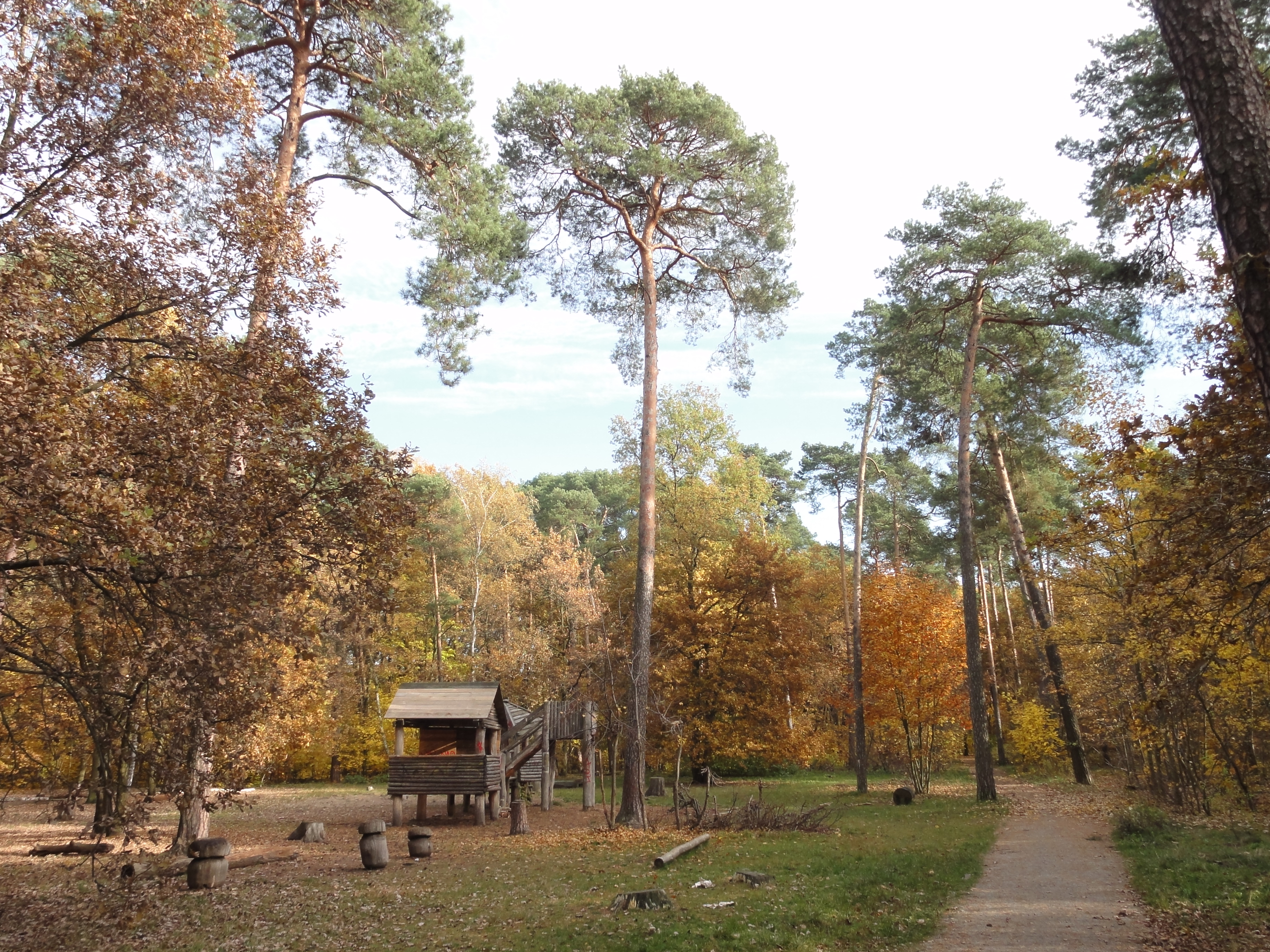
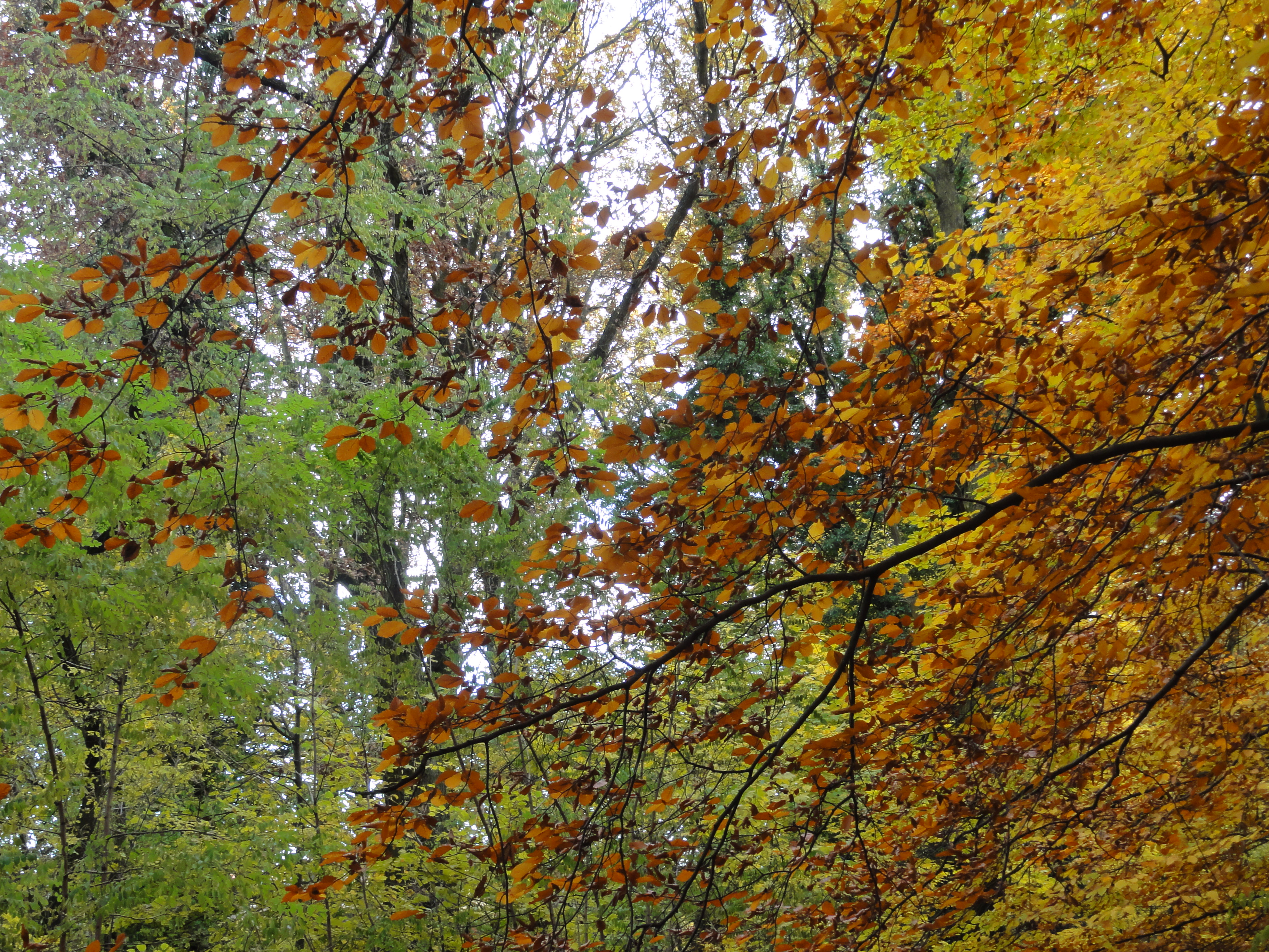
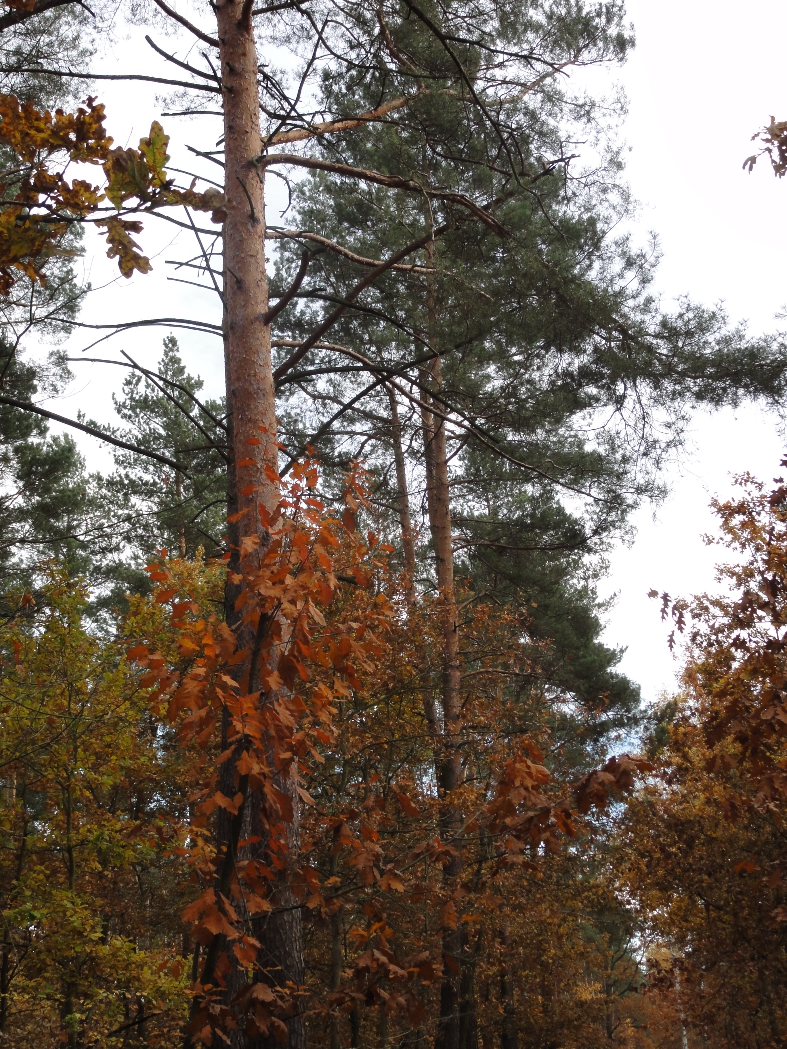
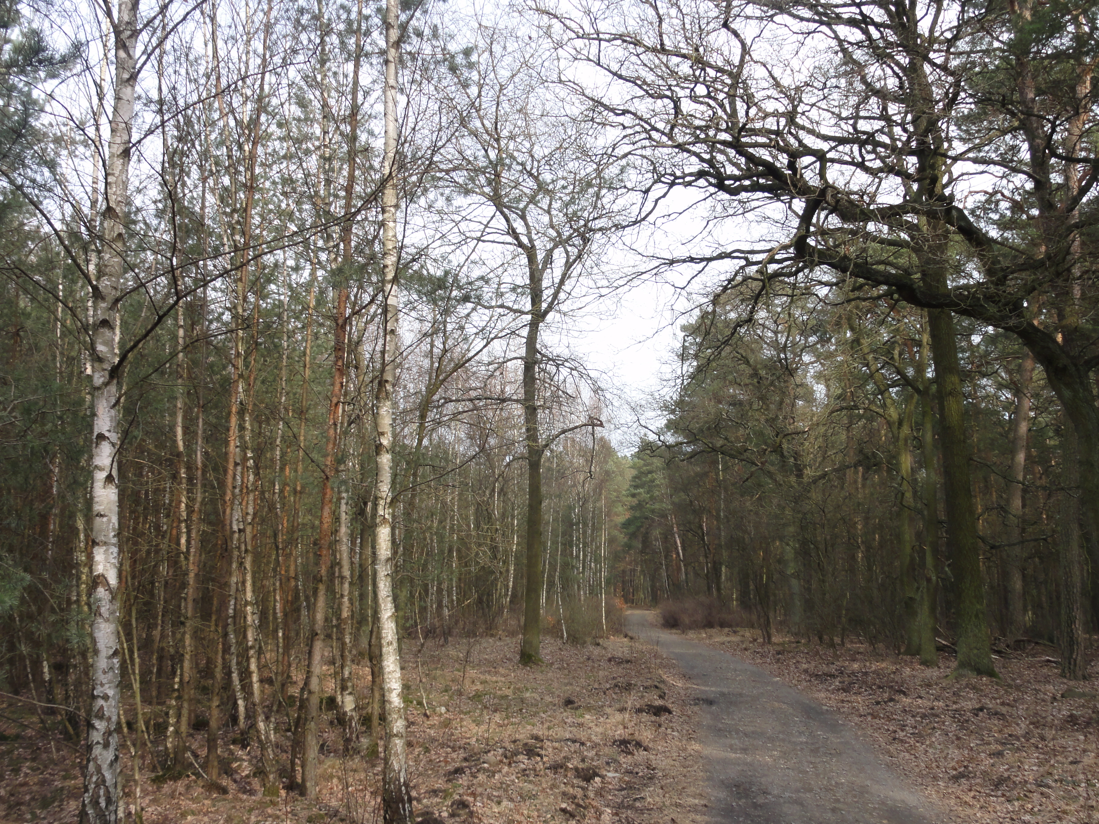
This because here you have a few kilometers of FOREST, while the Erpe-tal itself is mostly open.
(Sorry, the first photos do not have gps coordinates because of some technical problems I have not localized yet.)
|
|
|
2010:10:23 14:22:49
335.25
°
©
ml
|
|
2010:10:23 14:23:06 341
°
©
ml
341
°
©
ml
|
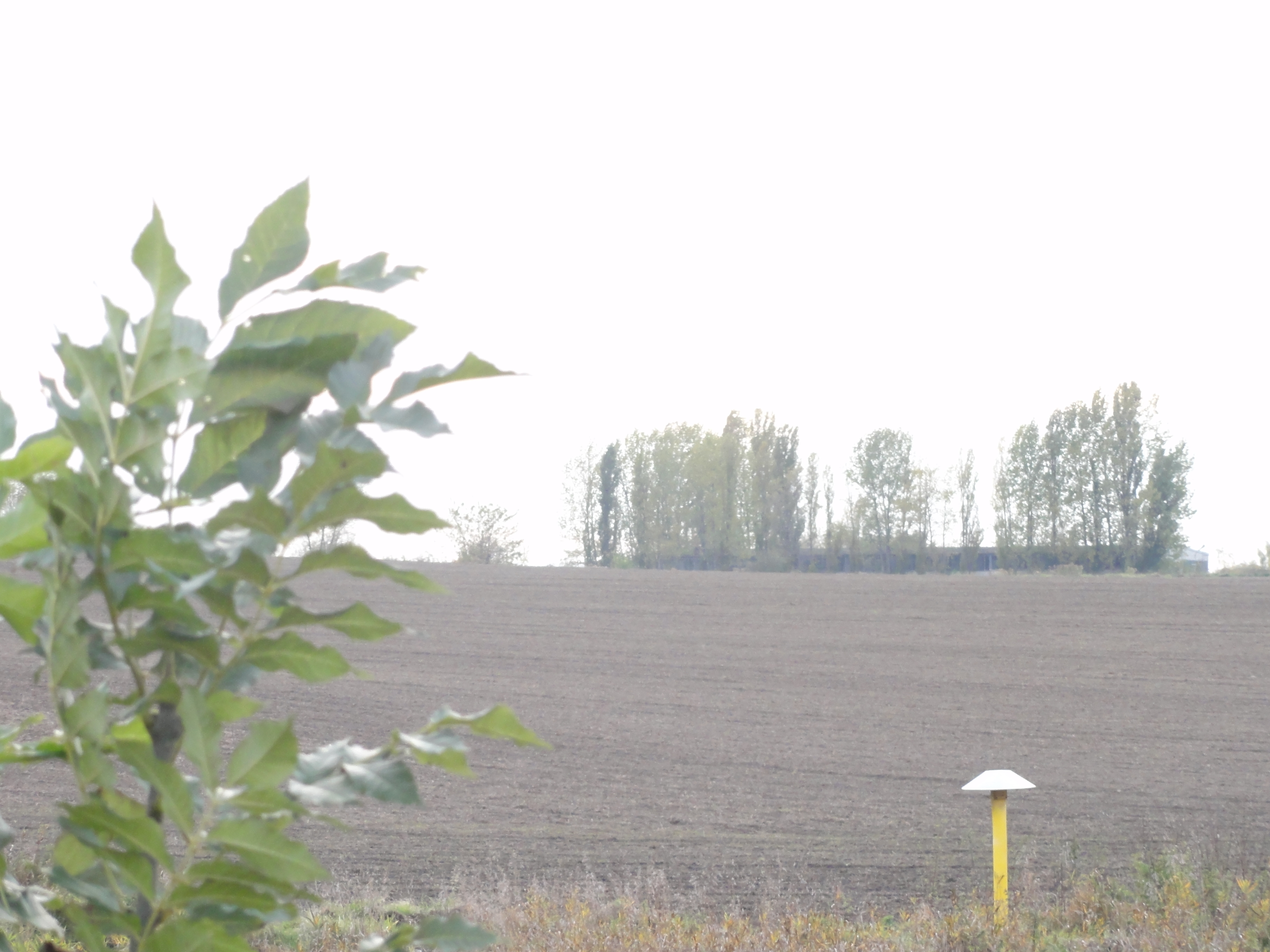
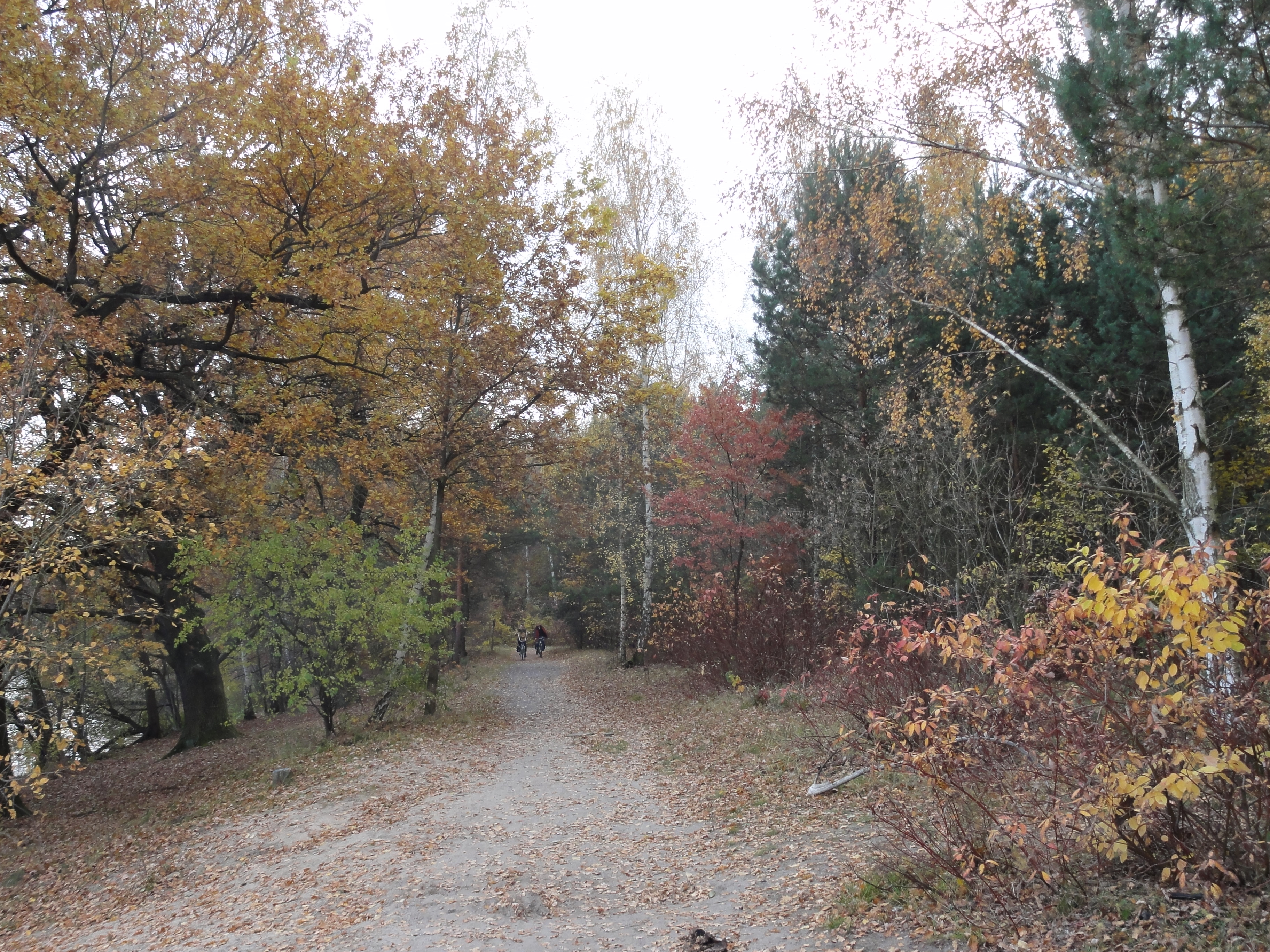
So you go north, north-east, and after one kilometer or so you leave the city of Berlin and enter Brandenburg (have your passports ready!)
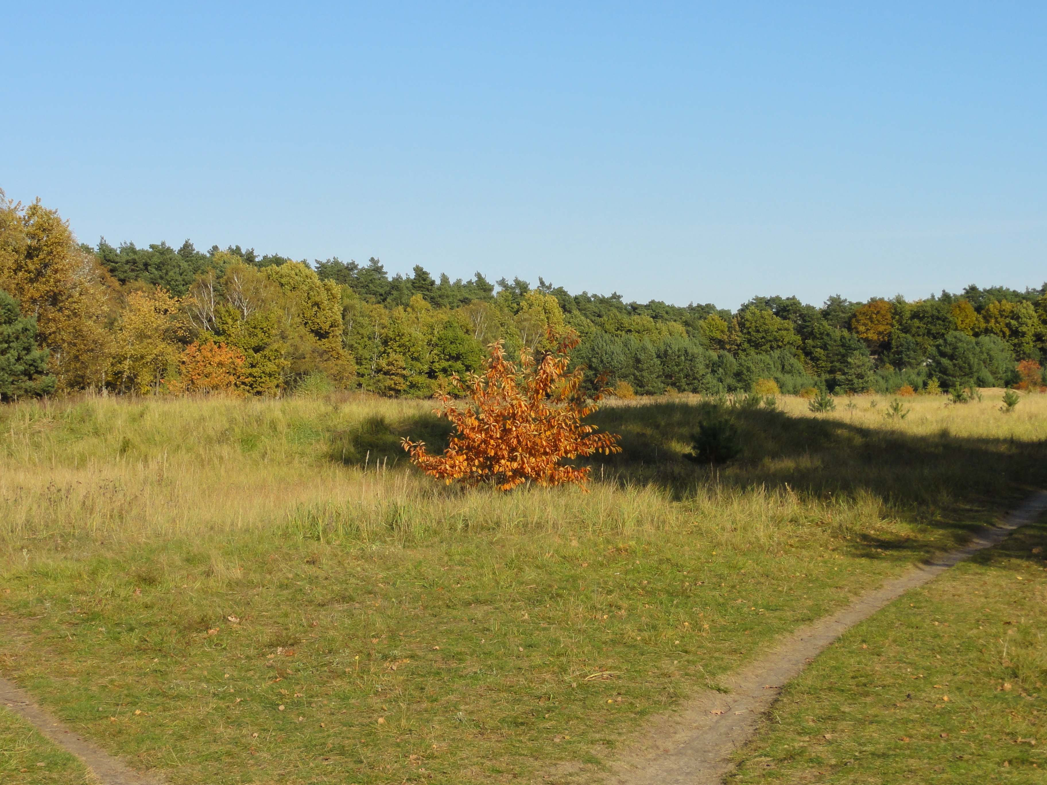
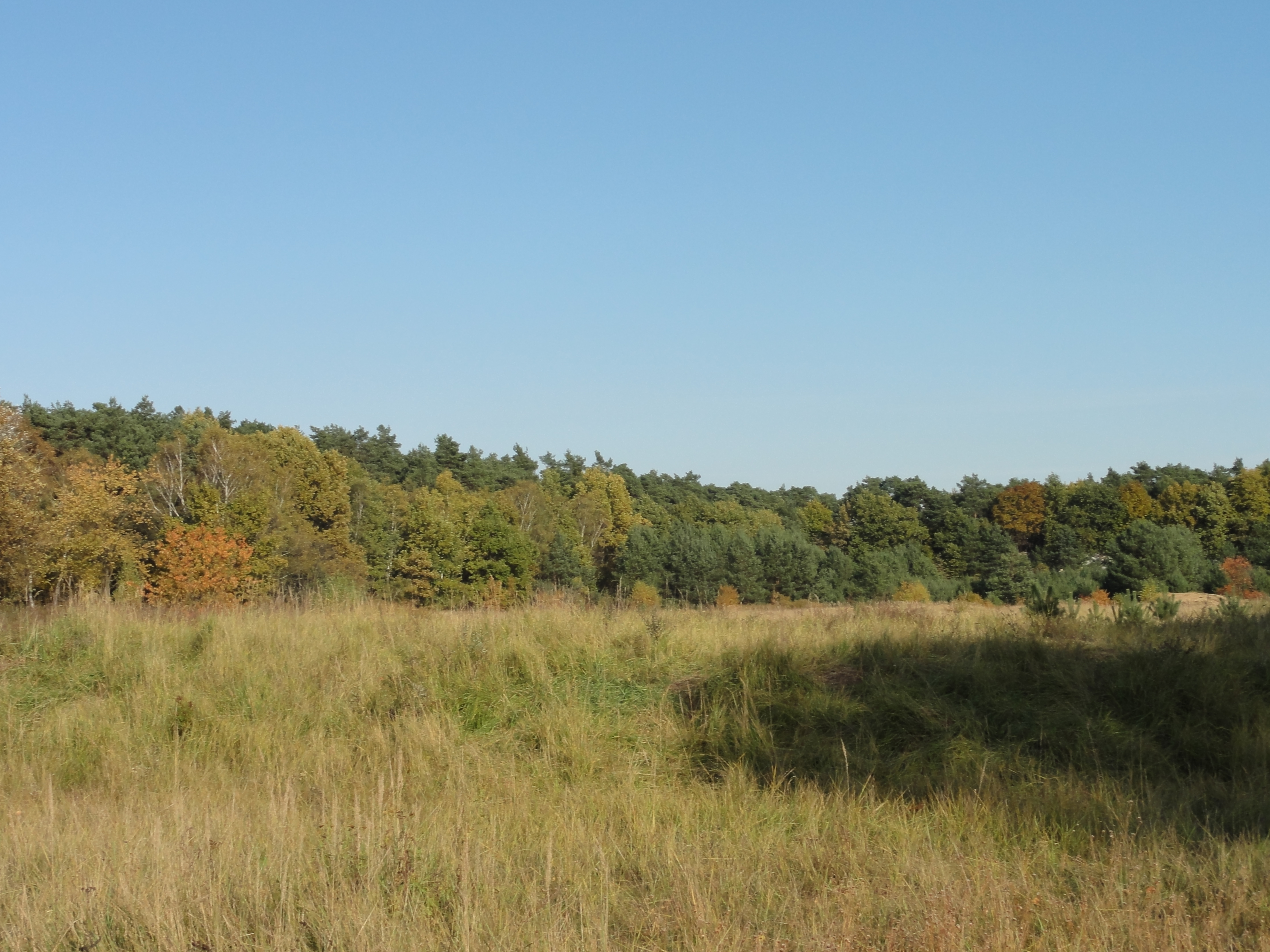
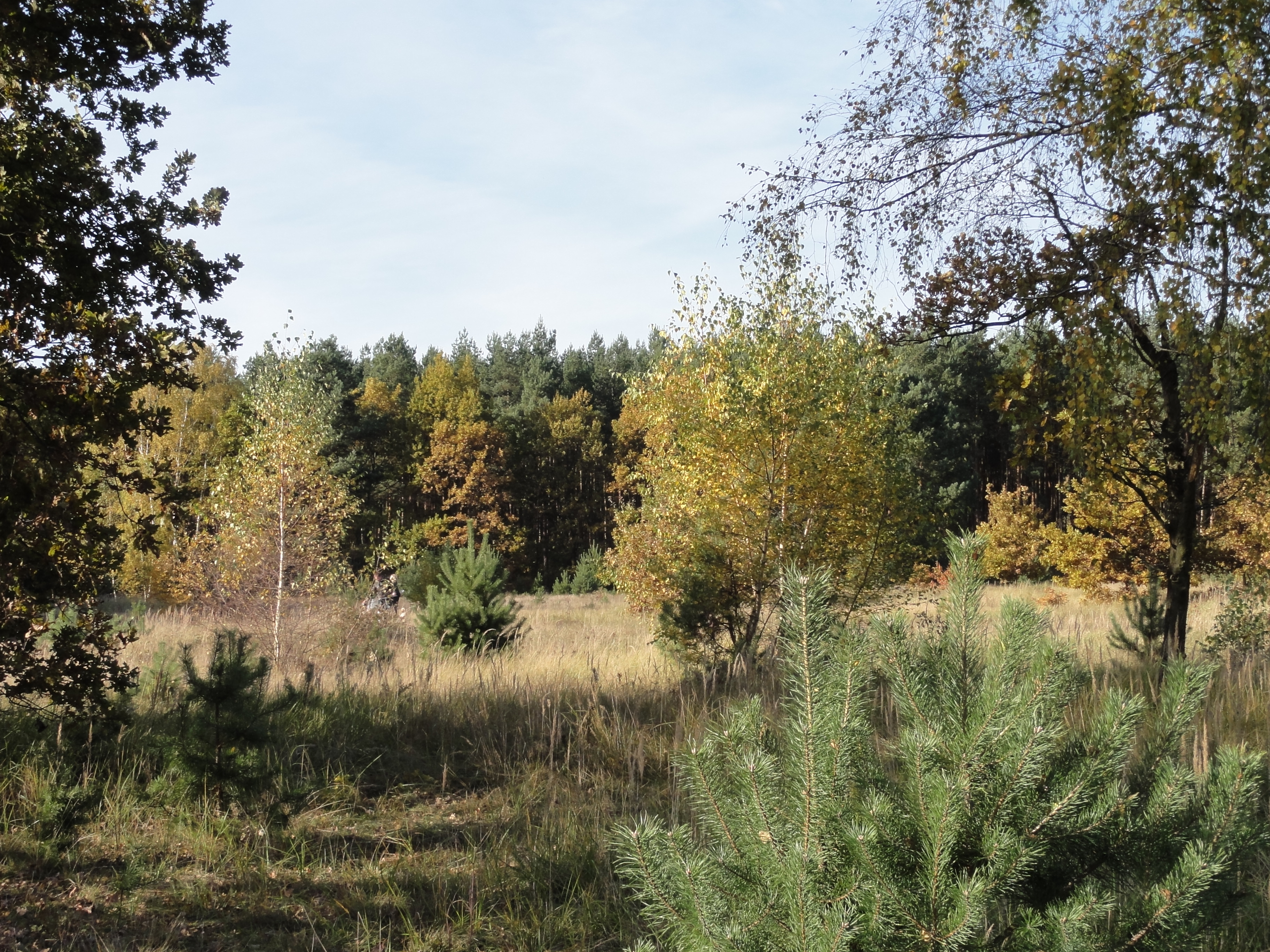
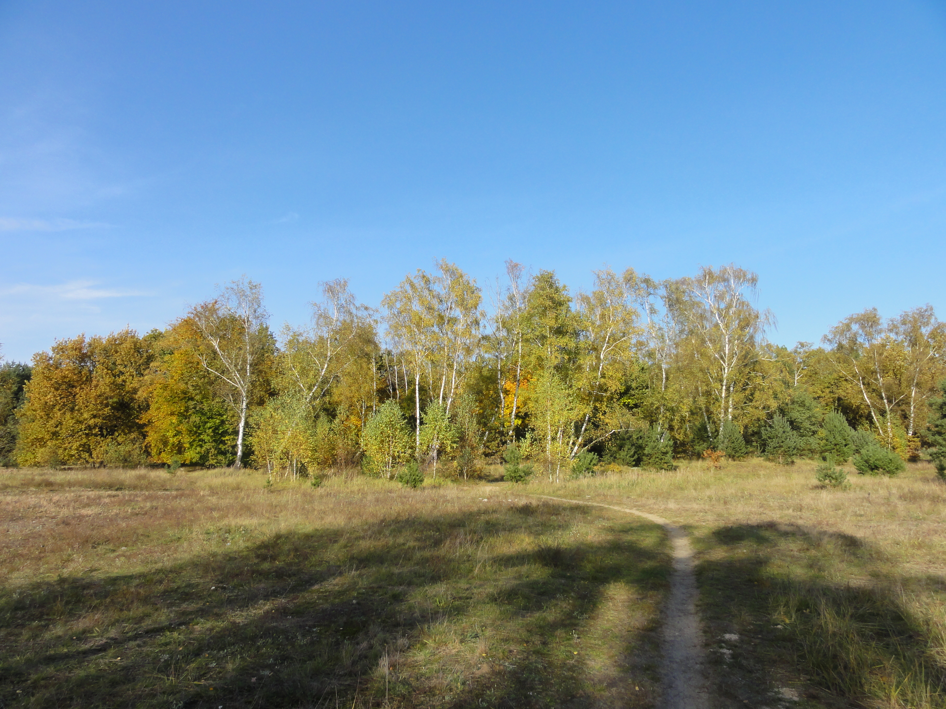
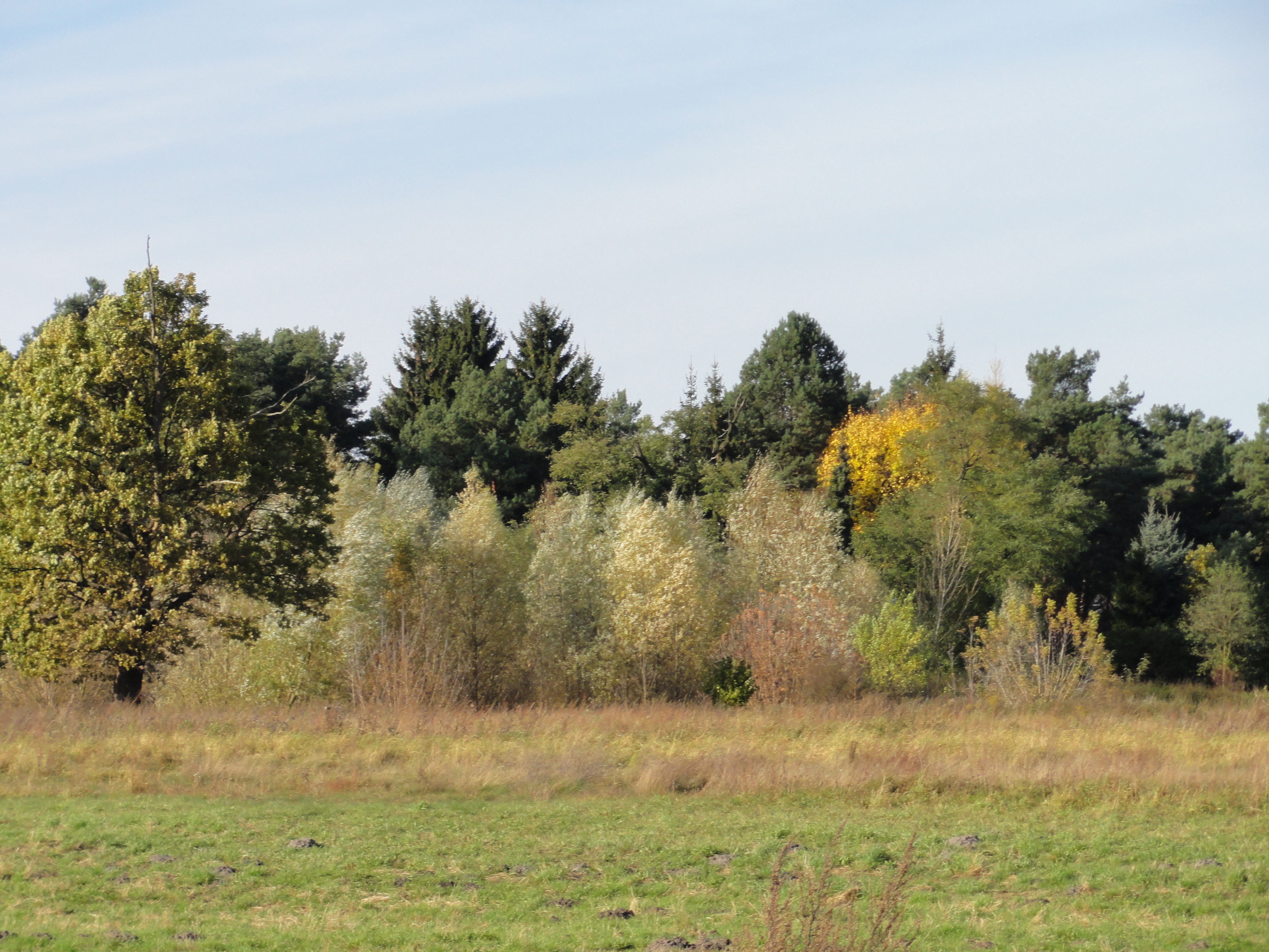
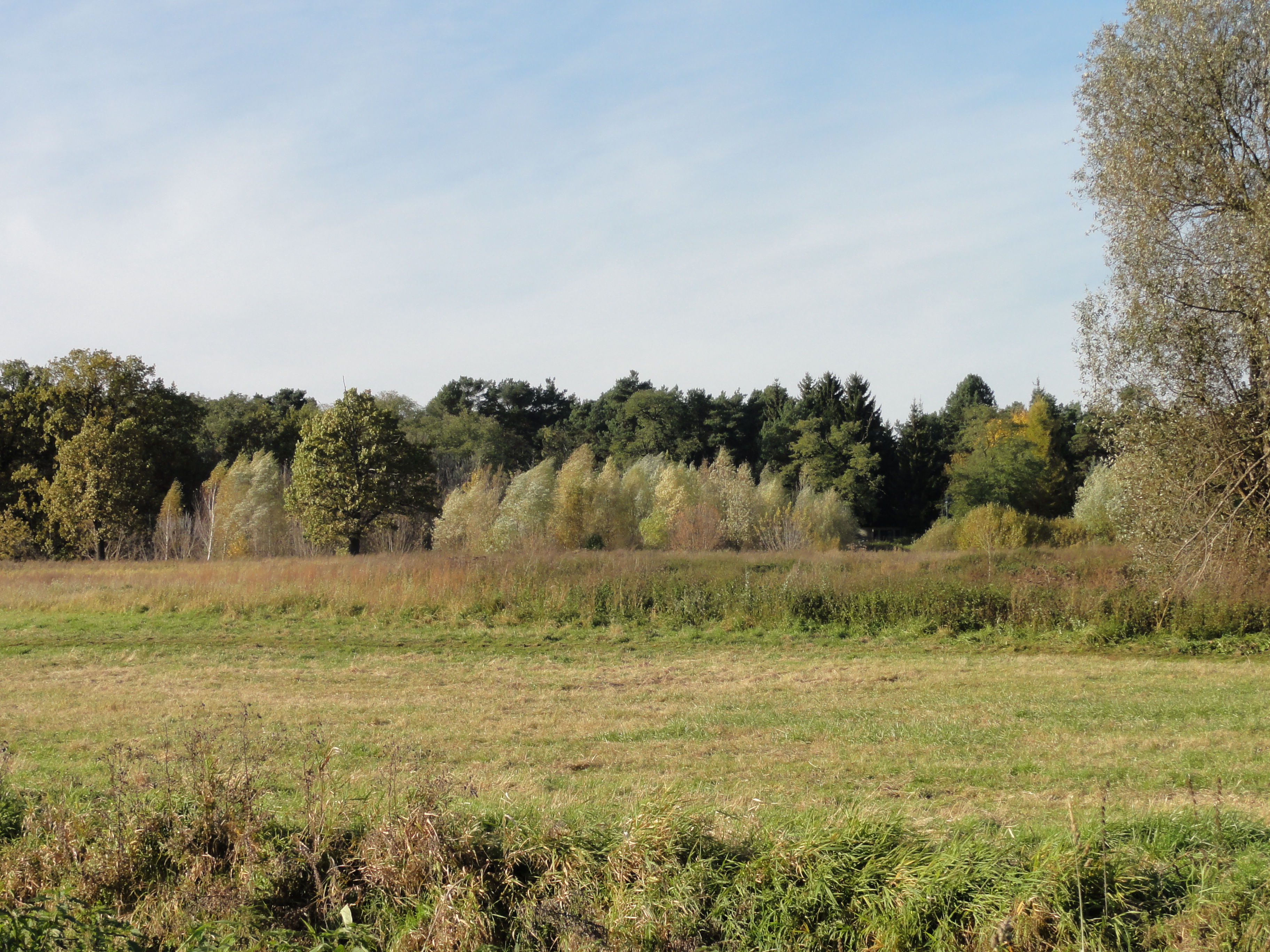
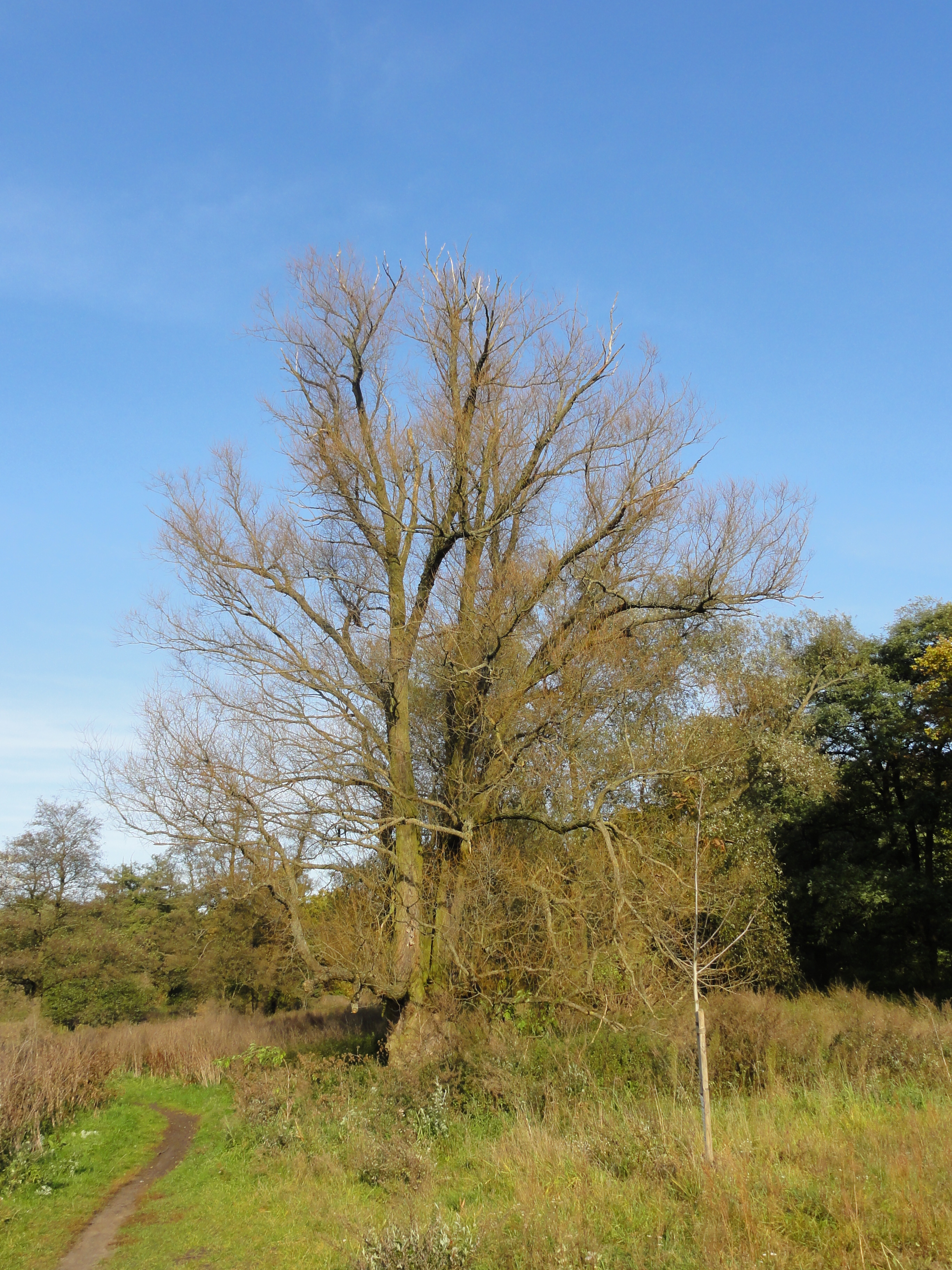
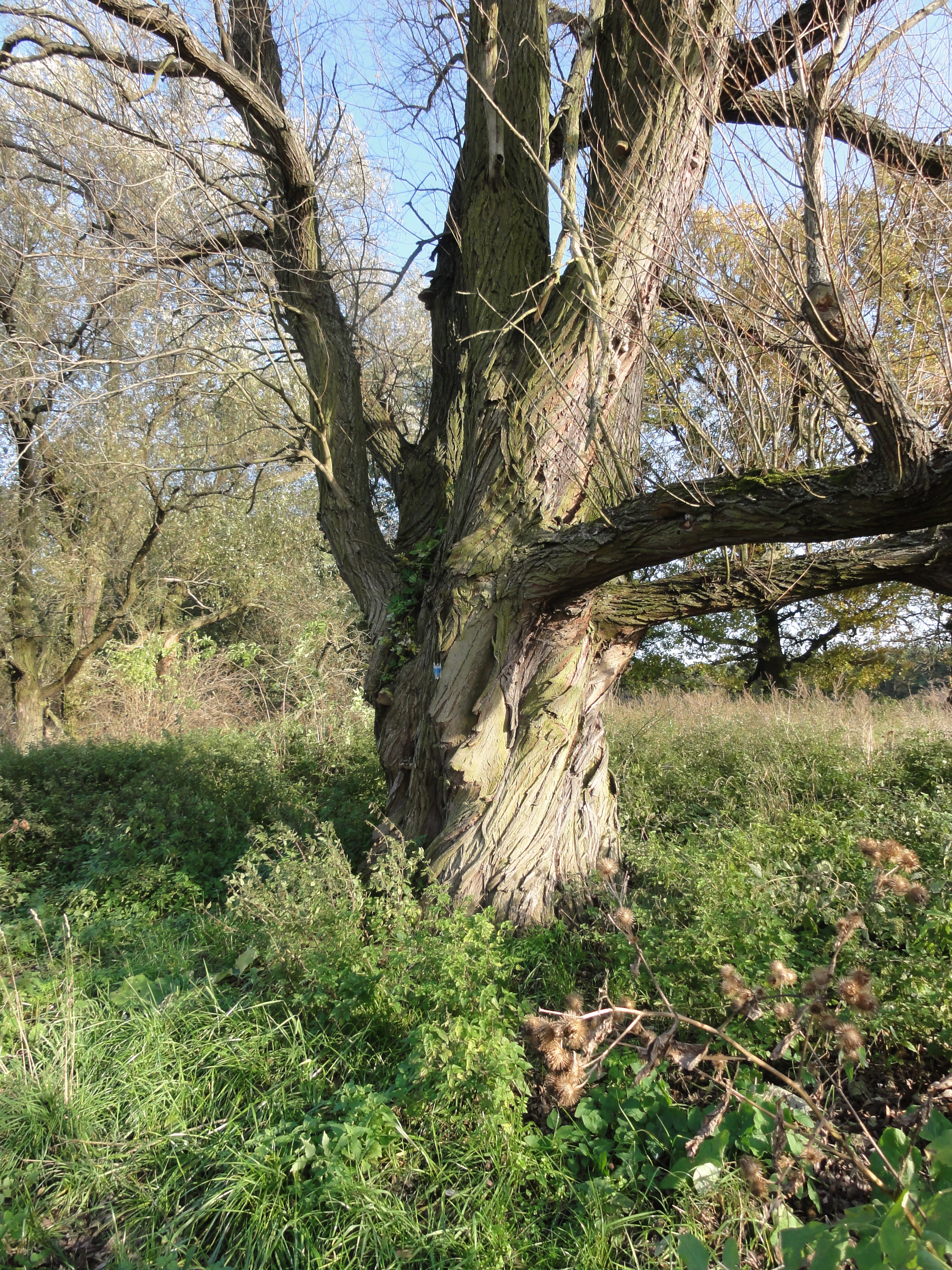
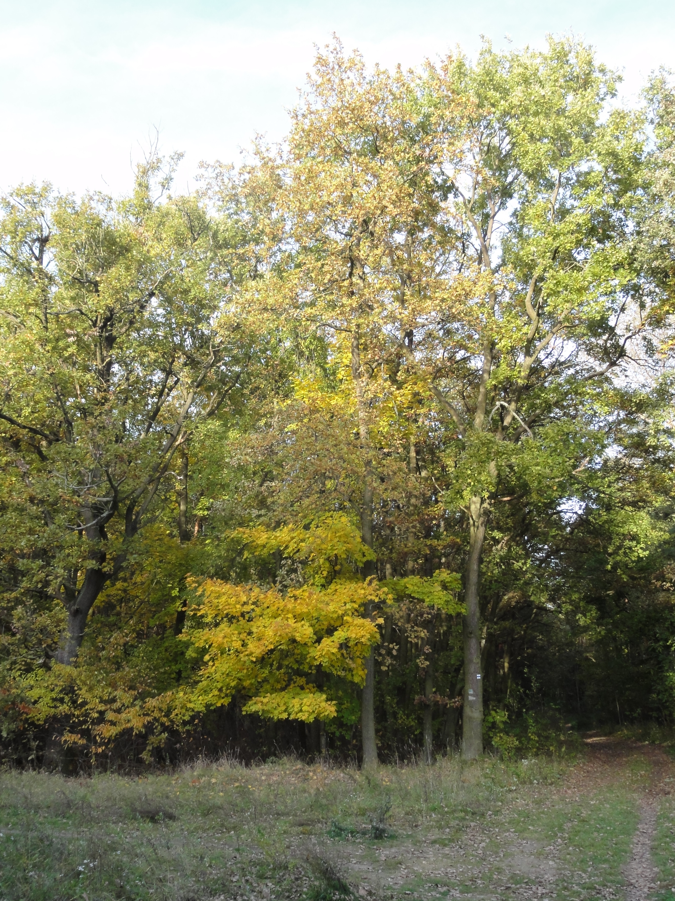
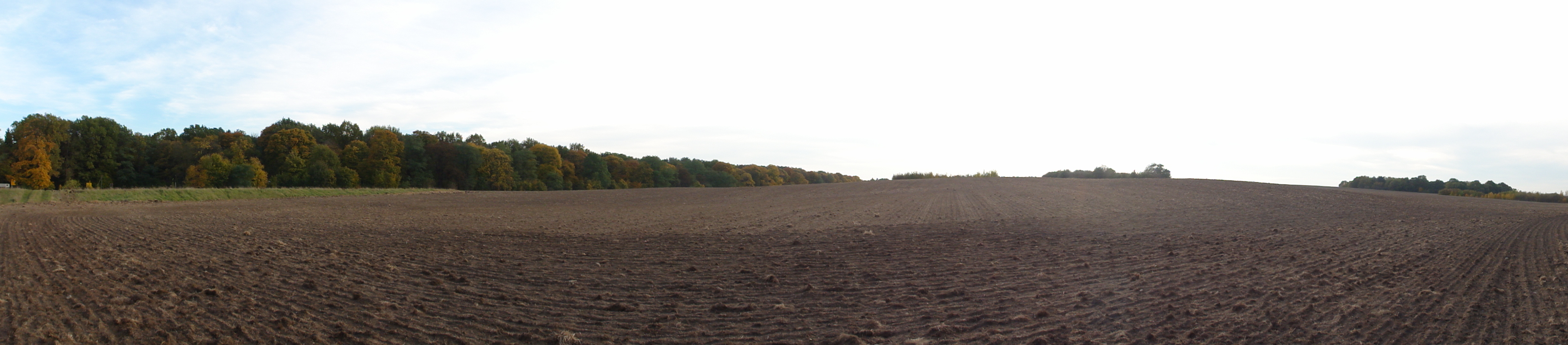
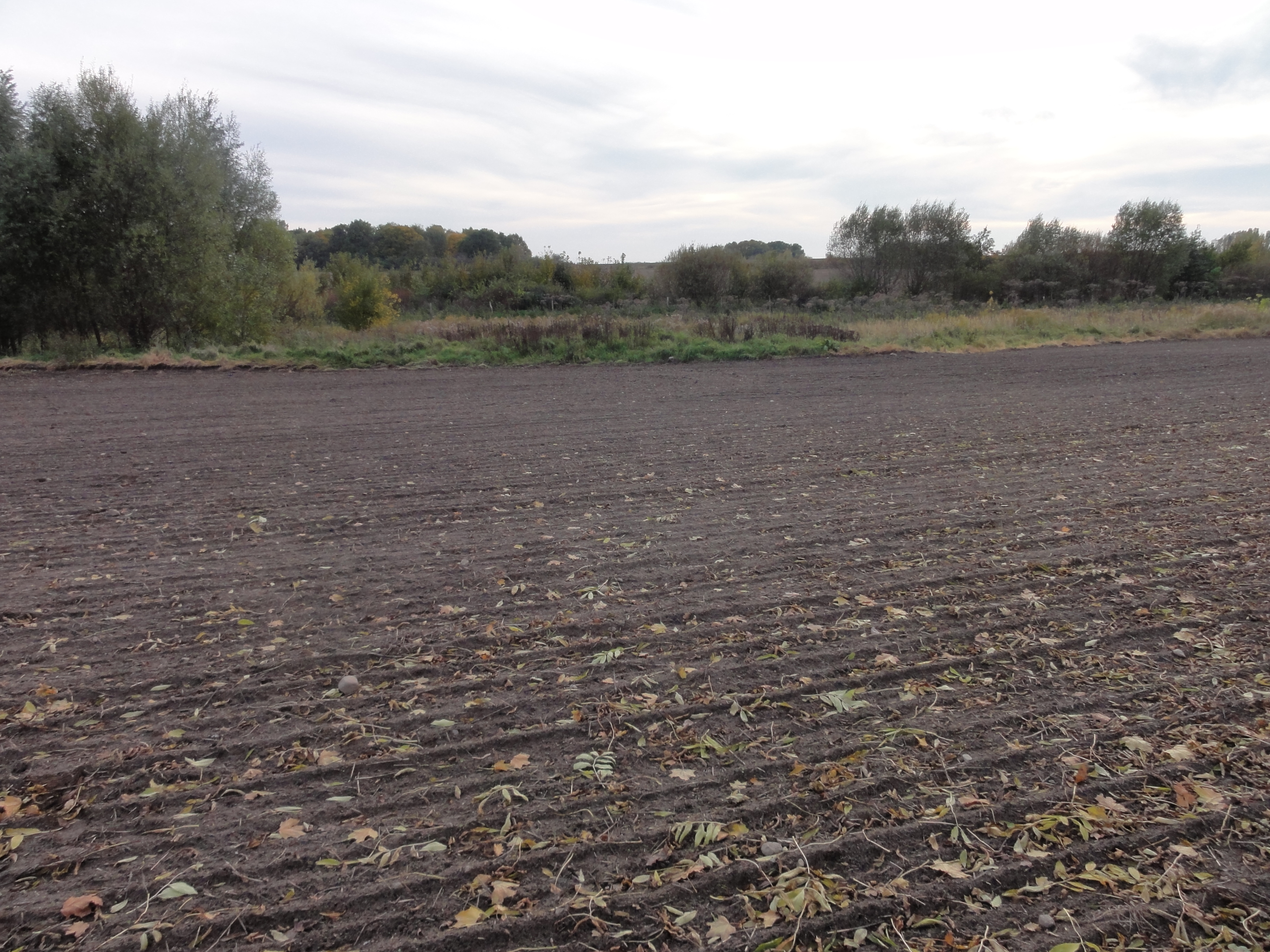
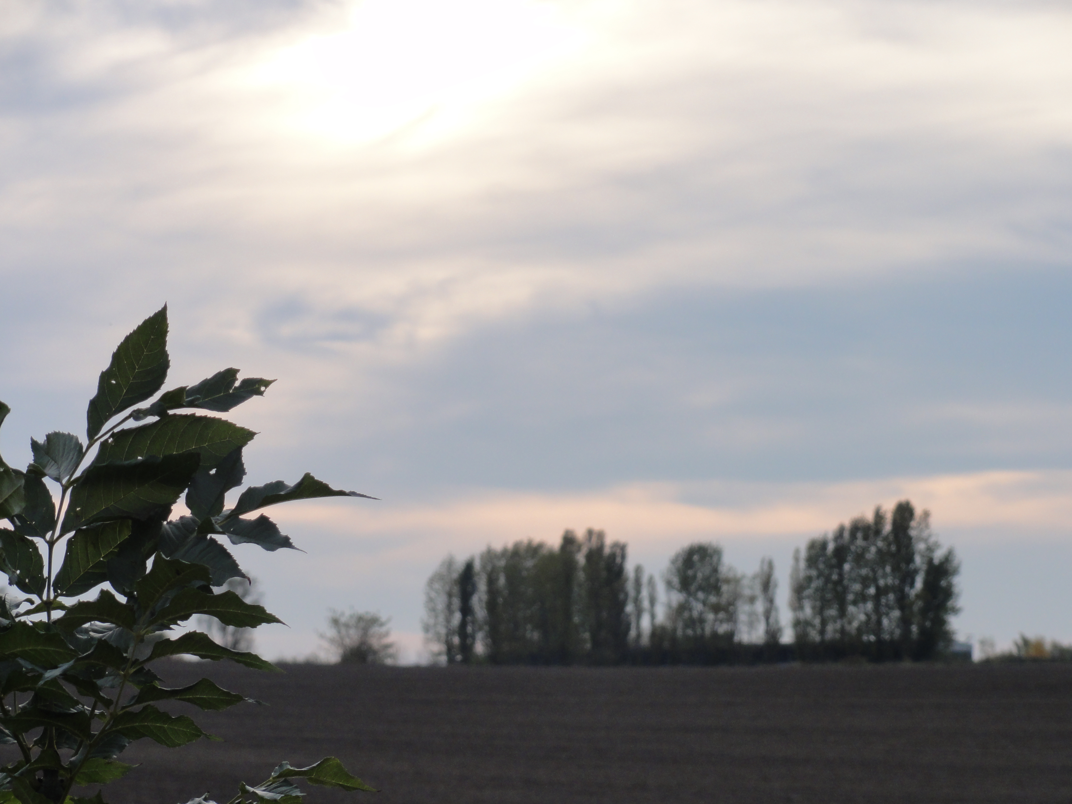
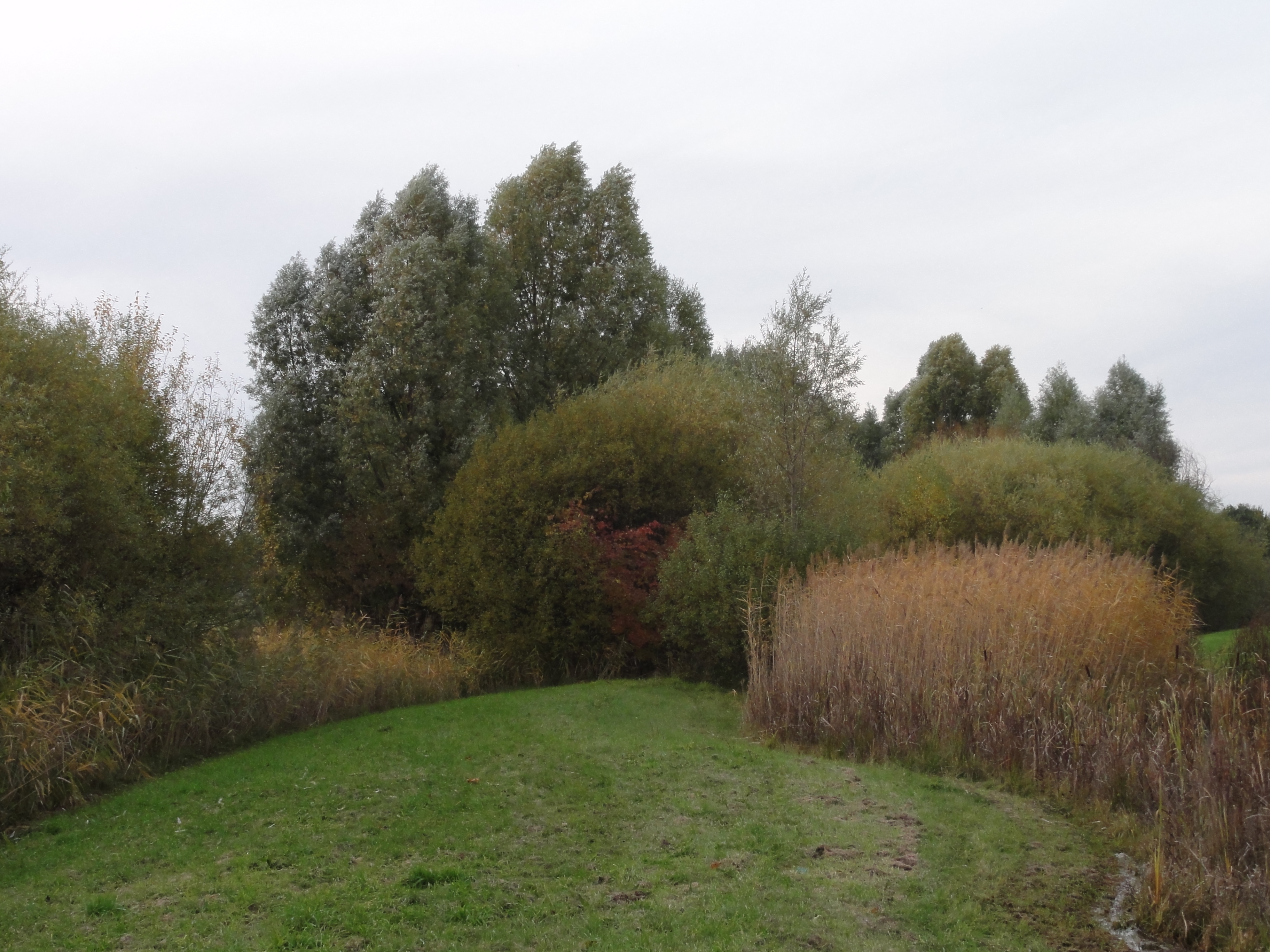
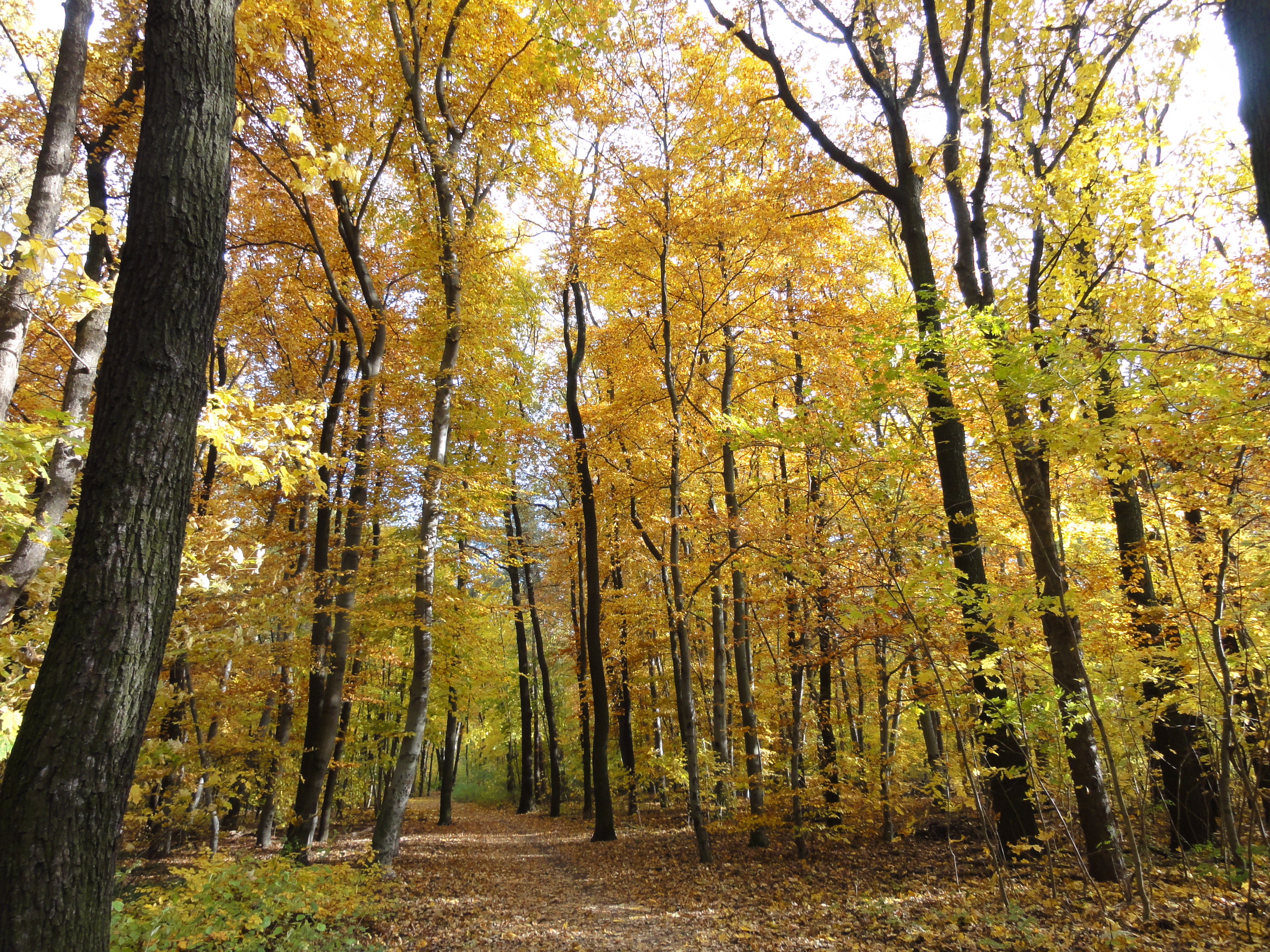
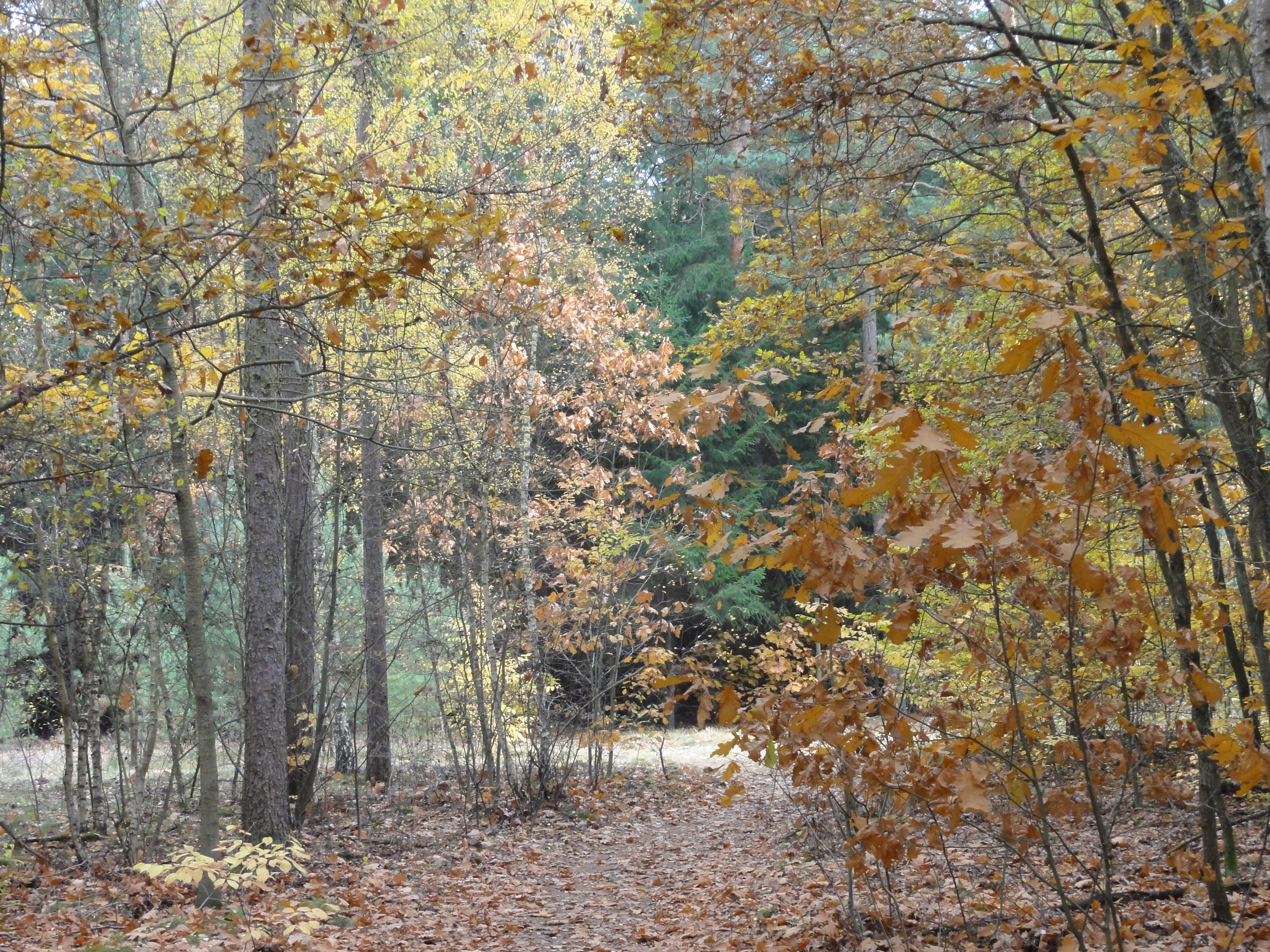
In this forest I always get lost! (There is a place where SIX roads and paths are crossing!) But never mind, just keep north-east and you will get out of this wicked bushes. In their middle there is one of the most beatiful CLEARINGS I ever met (and I collect them!) :
|
2010:10:23 14:42:36 41.25
°
©
ml
41.25
°
©
ml
|
|
|
2010:10:23 14:43:01
38
°
©
ml
|
|
2010:10:23 14:43:10 310.25
°
©
ml
310.25
°
©
ml
|
|
2010:10:23 14:43:30 137.5
°
©
ml
137.5
°
©
ml
|
|
|
2010:10:23 14:44:07
---
52 deg 27' 59.60" N, 13 deg 36' 41.95" E
329.75
°
©
ml
|
|
2010:10:23 14:44:21
---
52 deg 27' 59.59" N, 13 deg 36' 41.78" E
 220.25
°
©
ml
220.25
°
©
ml
|
|
|
2010:10:23 14:44:37
---
52 deg 27' 59.59" N, 13 deg 36' 41.78" E
333.5
°
©
ml
|
|
2010:10:23 14:45:28
---
52 deg 27' 59.77" N, 13 deg 36' 41.93" E
 9.25
°
©
ml
9.25
°
©
ml
|
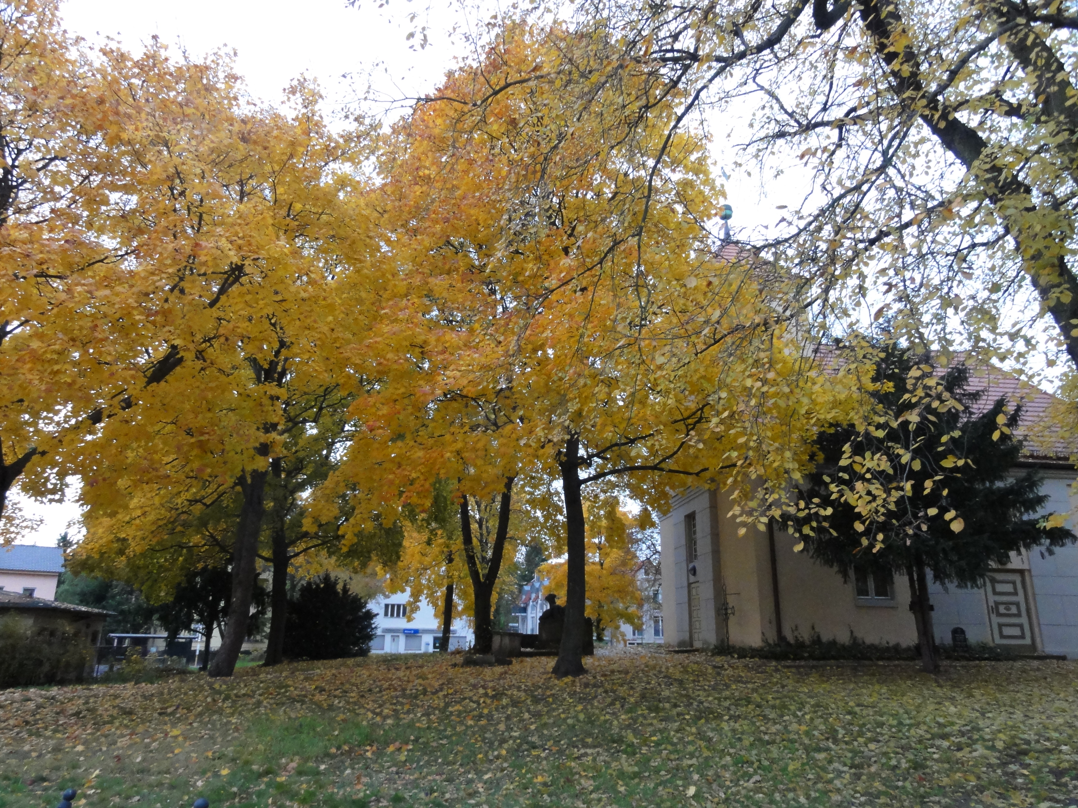
When you hit the forest road, follow it to the east, and you will find the "RAVENSTEINER MÜHLE" (raven stone mill). This is a point you MUST hit, because here the paths along the Erpe start.
|
2010:10:23 14:56:48
---
52 deg 28' 13.68" N, 13 deg 37' 16.67" E
 84.75
°
©
ml
84.75
°
©
ml
|
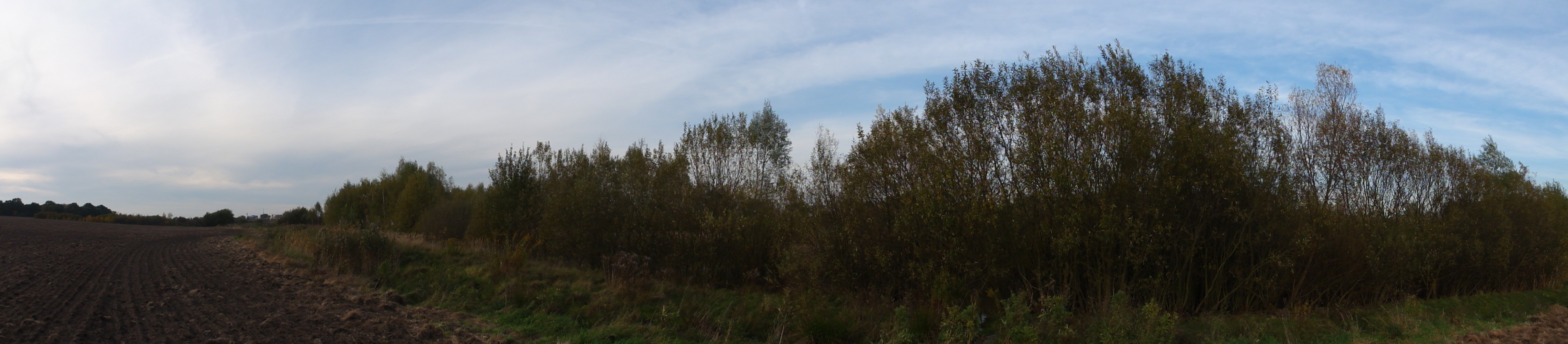
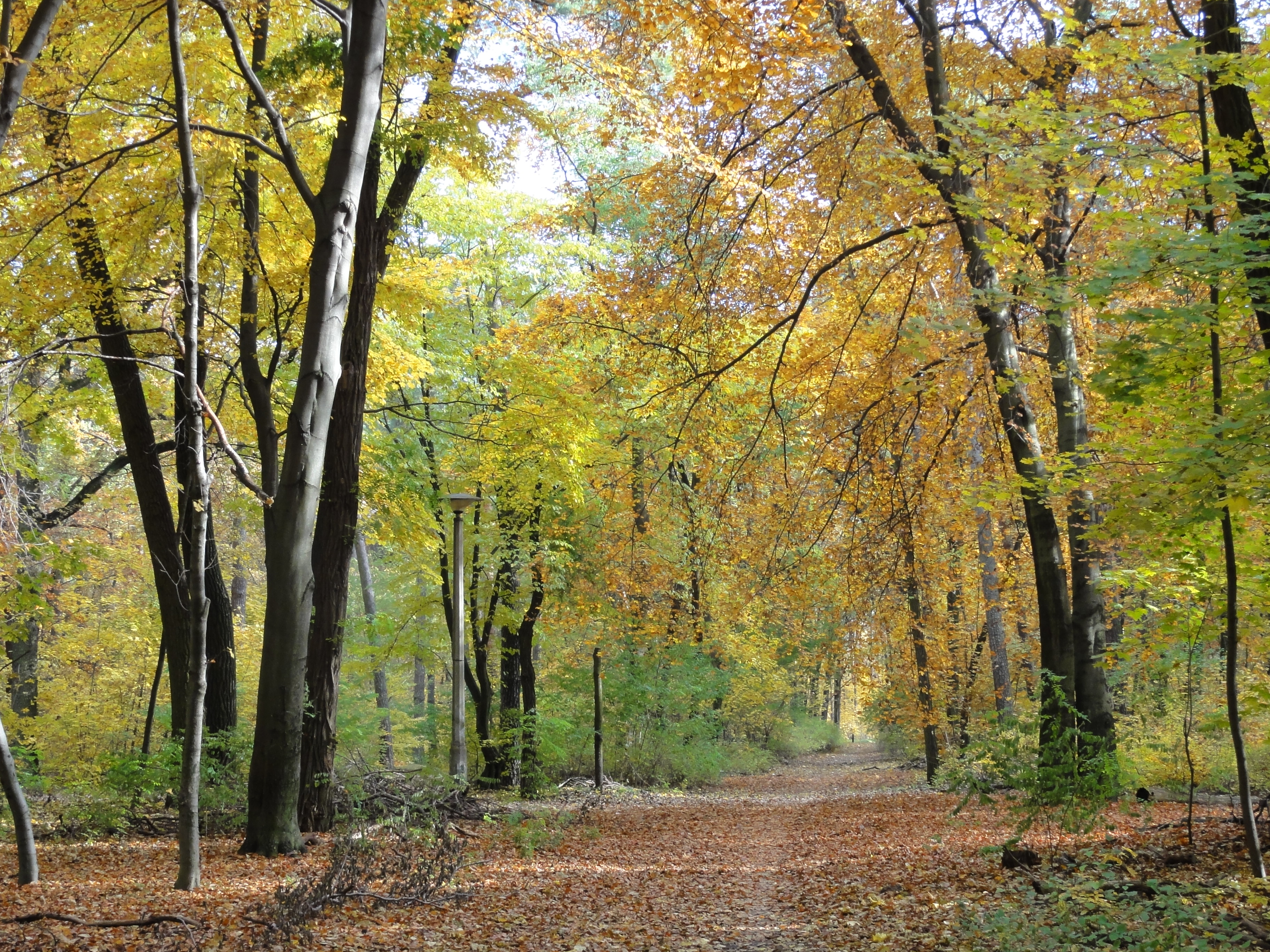
Then turn north and follow the Erpe on the left or on the right shore, its the same lovely view anyhow! (Please note the EAGLES high above, or Bussards, or what they're called !-)
|
|
2010:10:23 15:13:29
---
52 deg 28' 30.98" N, 13 deg 37' 39.28" E
319
°
©
ml
|
|
|
2010:10:23 15:13:42
---
52 deg 28' 31.01" N, 13 deg 37' 39.44" E
320.75
°
©
ml
|

|
|
2010:10:23 15:15:31
---
52 deg 28' 31.38" N, 13 deg 37' 39.45" E
84
°
©
ml
|
|
2010:10:23 15:15:44
---
52 deg 28' 31.02" N, 13 deg 37' 39.61" E
 66
°
©
ml
66
°
©
ml
|
|
2010:10:23 15:15:57
---
52 deg 28' 31.13" N, 13 deg 37' 39.51" E
 94.5
°
©
ml
94.5
°
©
ml
|
|
|
2010:10:23 15:18:20
---
52 deg 28' 31.15" N, 13 deg 37' 41.98" E
310.75
°
©
ml
|
|
|
2010:10:23 15:19:35
---
52 deg 28' 31.18" N, 13 deg 37' 43.49" E
306.25
°
©
ml
|
|
2010:10:23 15:30:37
---
52 deg 28' 42.98" N, 13 deg 38' 7.19" E
 179.75
°
©
ml
179.75
°
©
ml
|
|
|
2010:10:23 15:31:11
---
52 deg 28' 42.76" N, 13 deg 38' 7.35" E
173
°
©
ml
|
|
|
2010:10:23 15:31:20
---
52 deg 28' 42.65" N, 13 deg 38' 7.64" E
72.25
°
©
ml
|
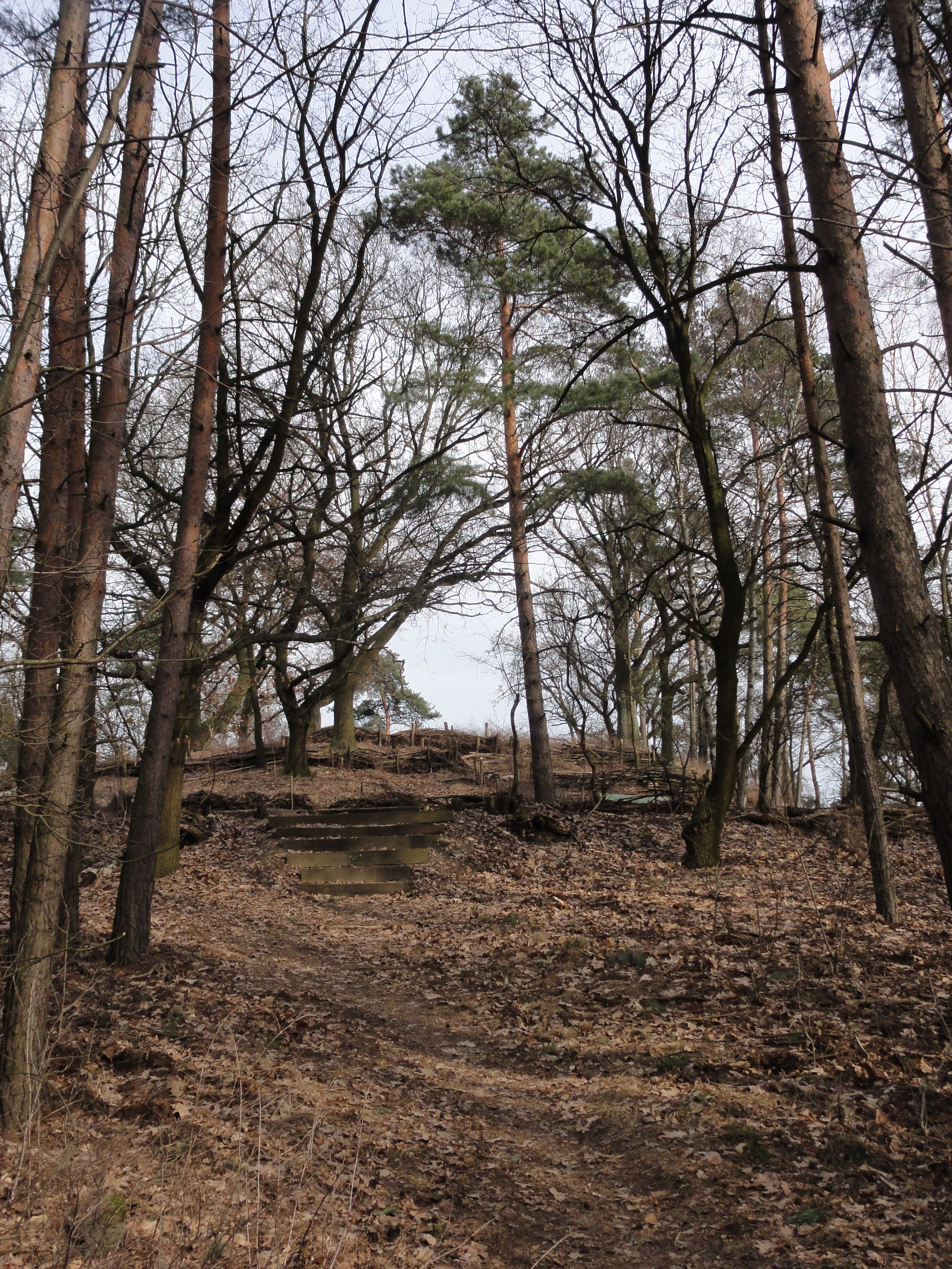
Then you reach another mill, called "HEIDEMÜHLE" (heath mill) The following tree monument is about 50 meters before:
|
|
2010:10:23 15:32:25
---
52 deg 28' 43.82" N, 13 deg 38' 9.72" E
13.75
°
©
ml
|
|
|
2010:10:23 15:33:02
---
52 deg 28' 44.82" N, 13 deg 38' 11.09" E
78.5
°
©
ml
|
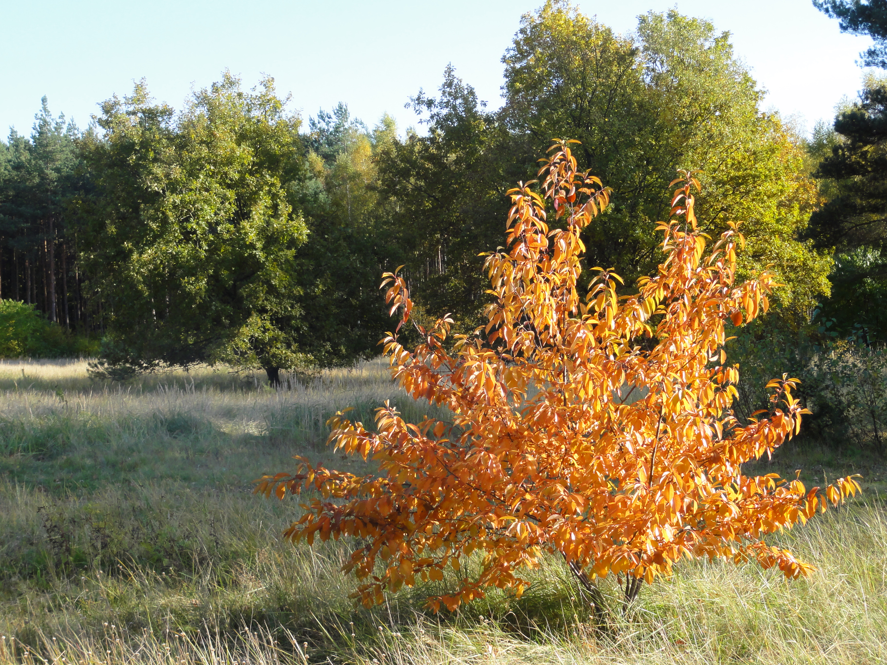
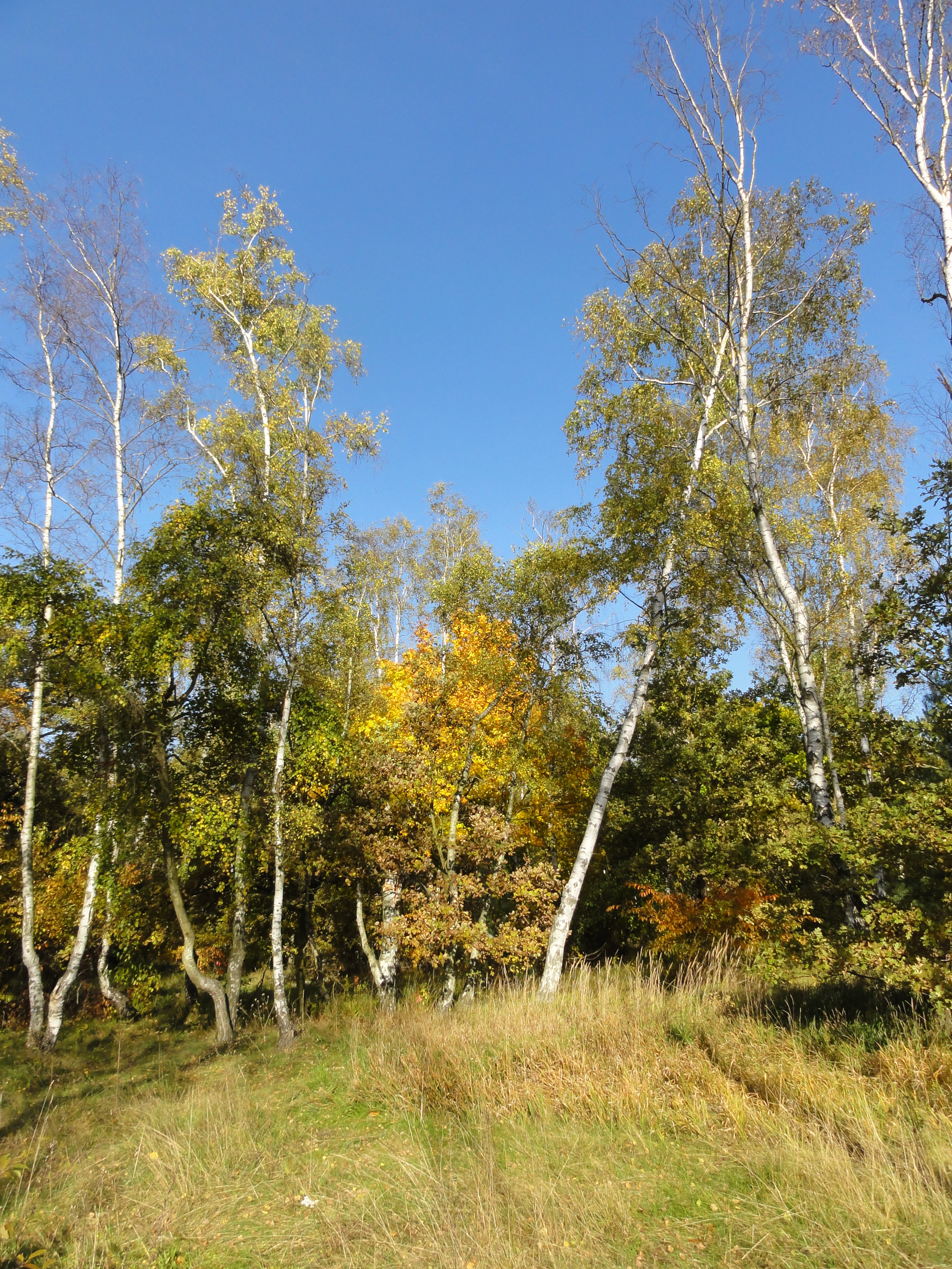
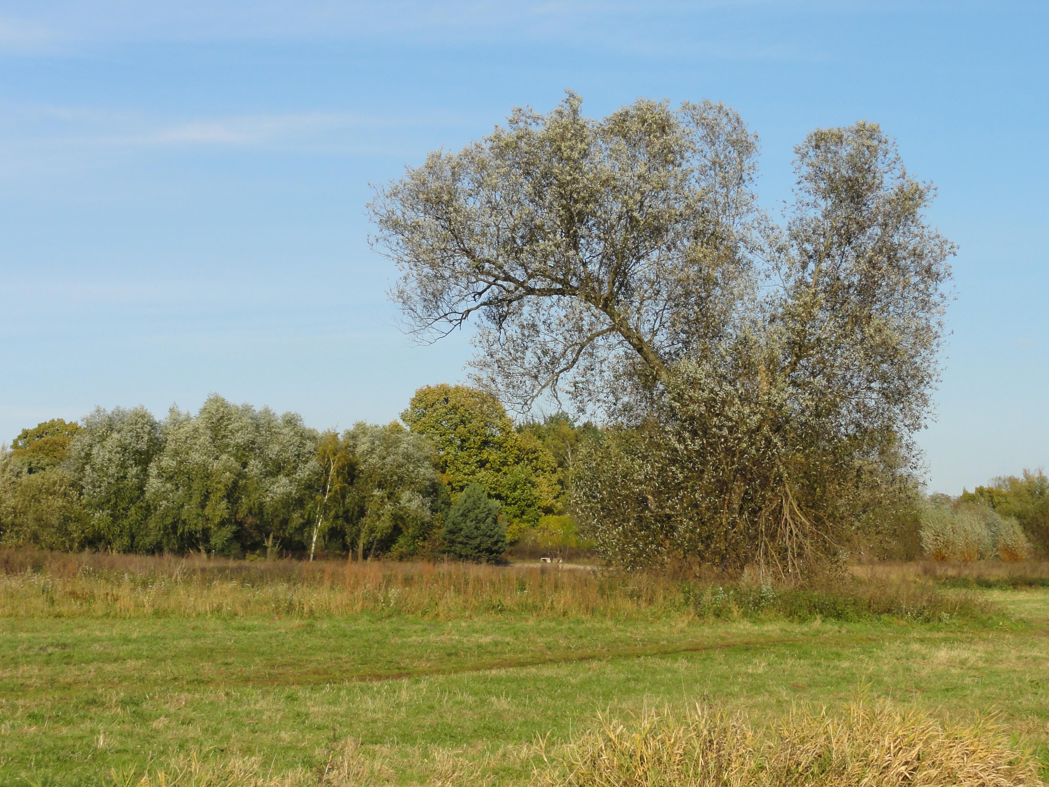
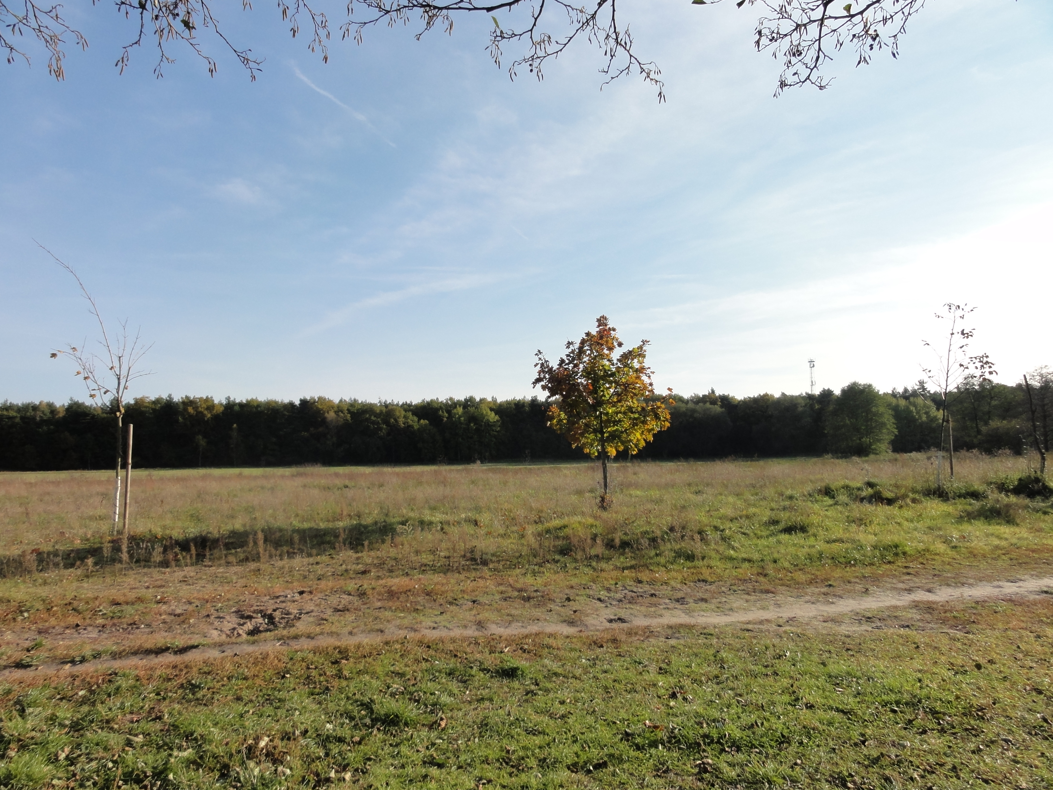
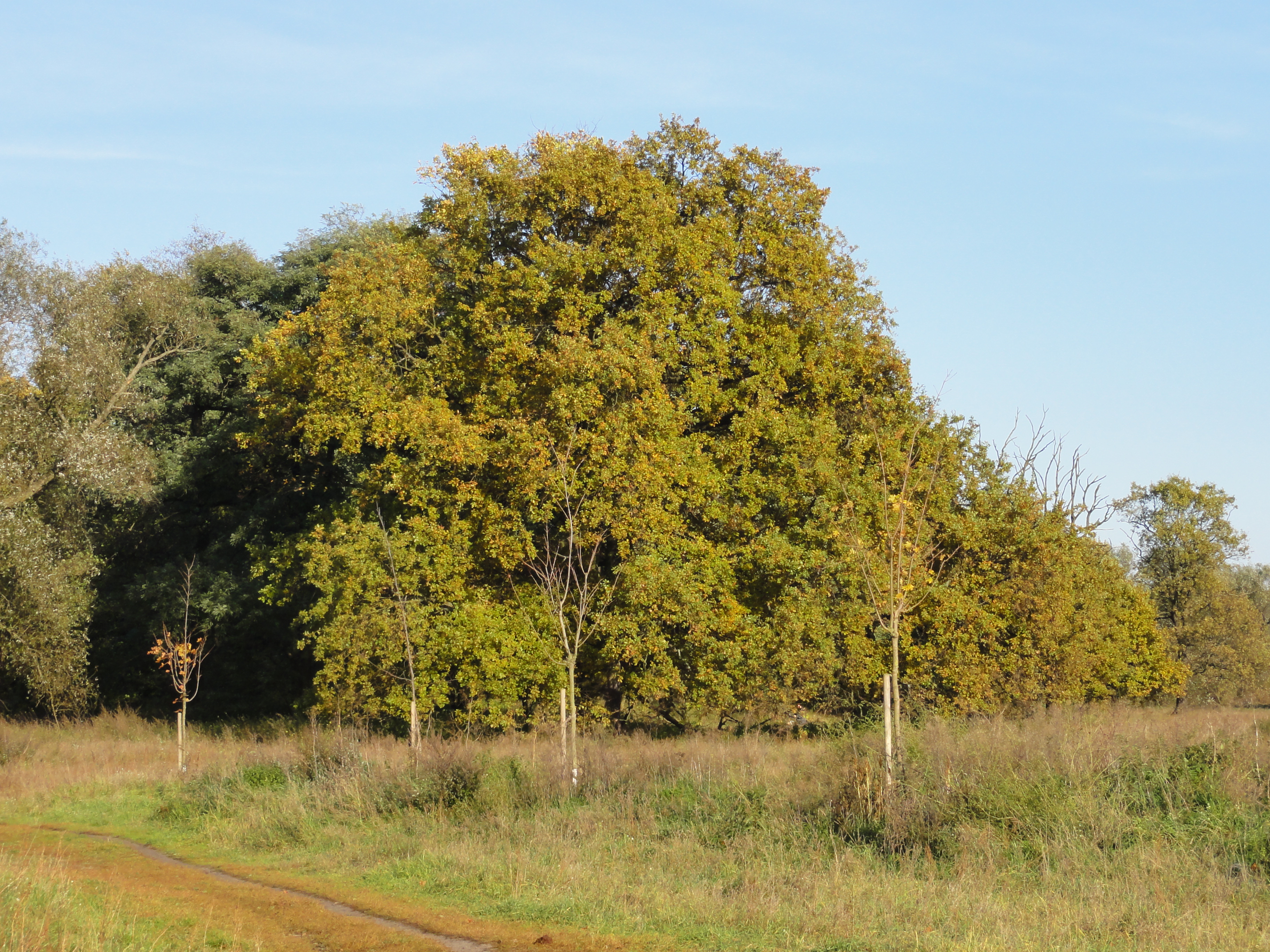
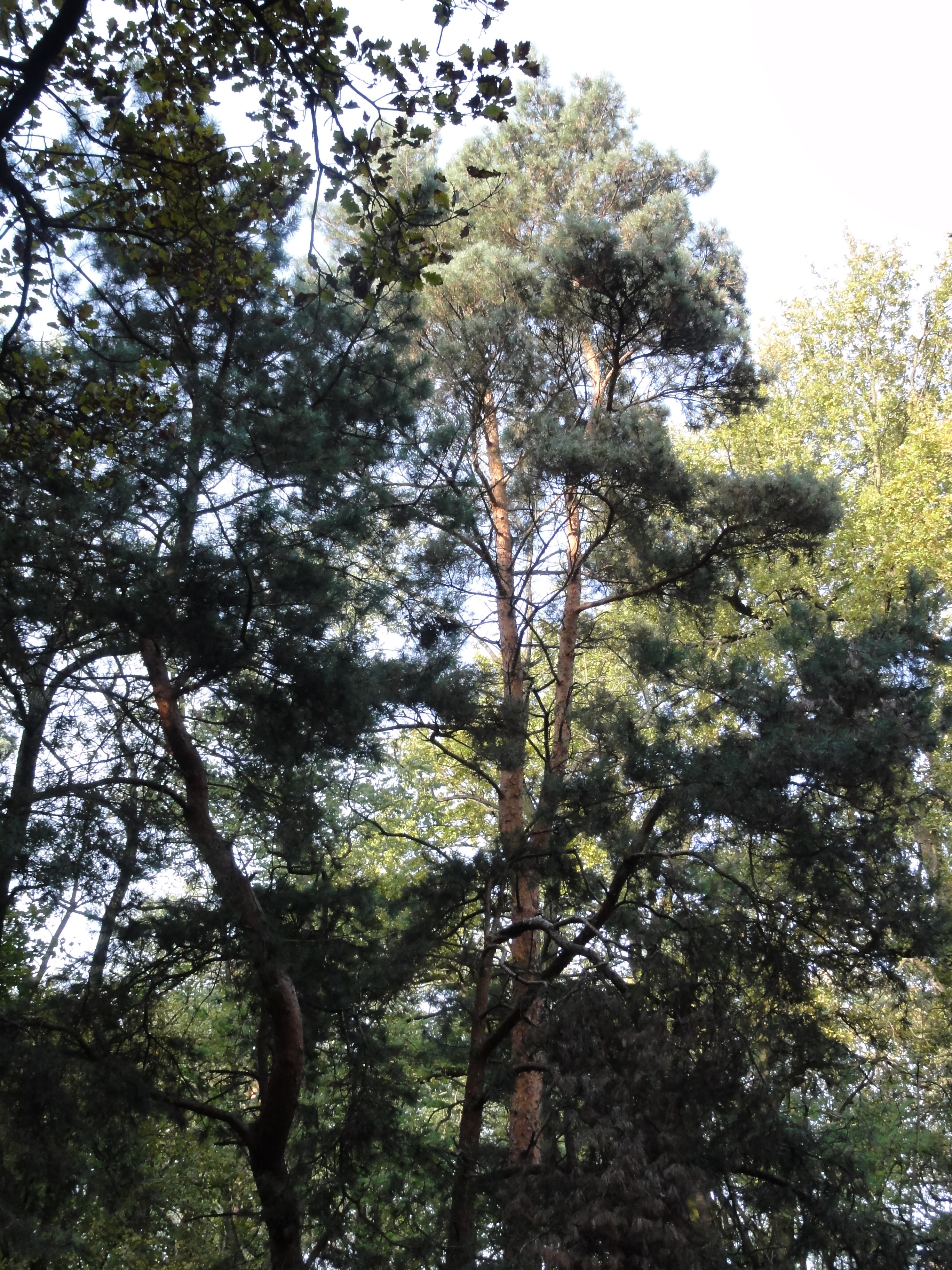
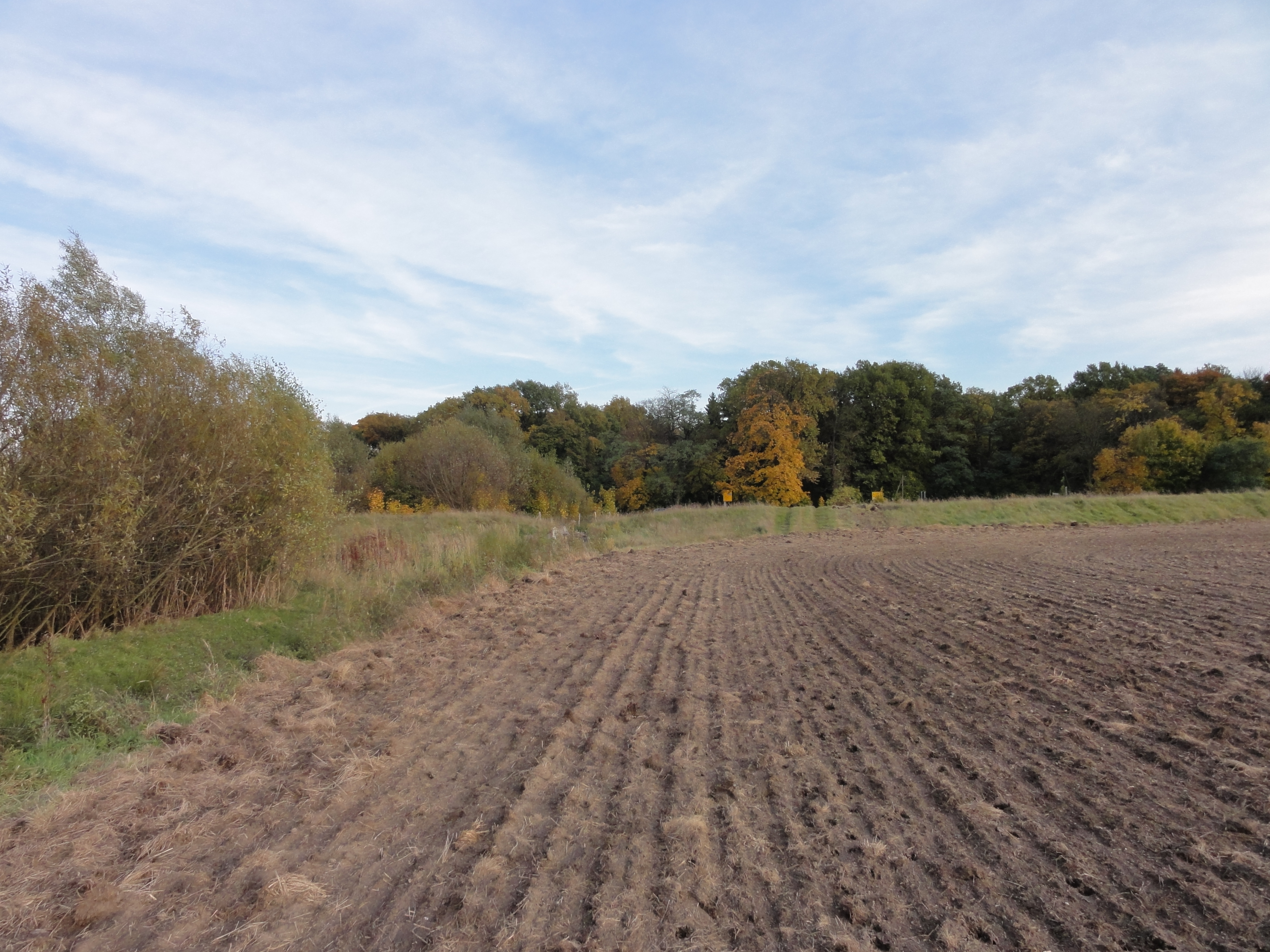
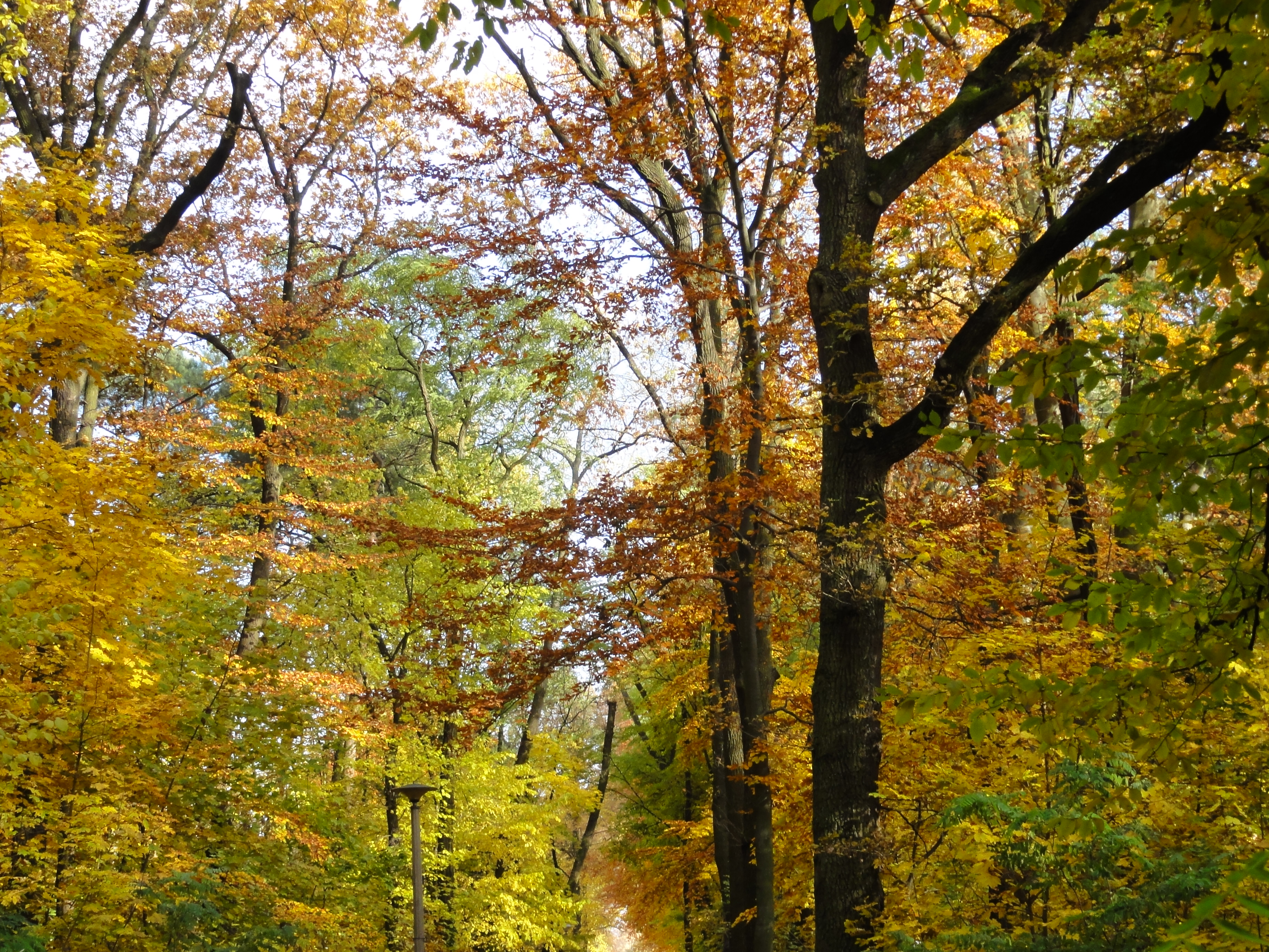
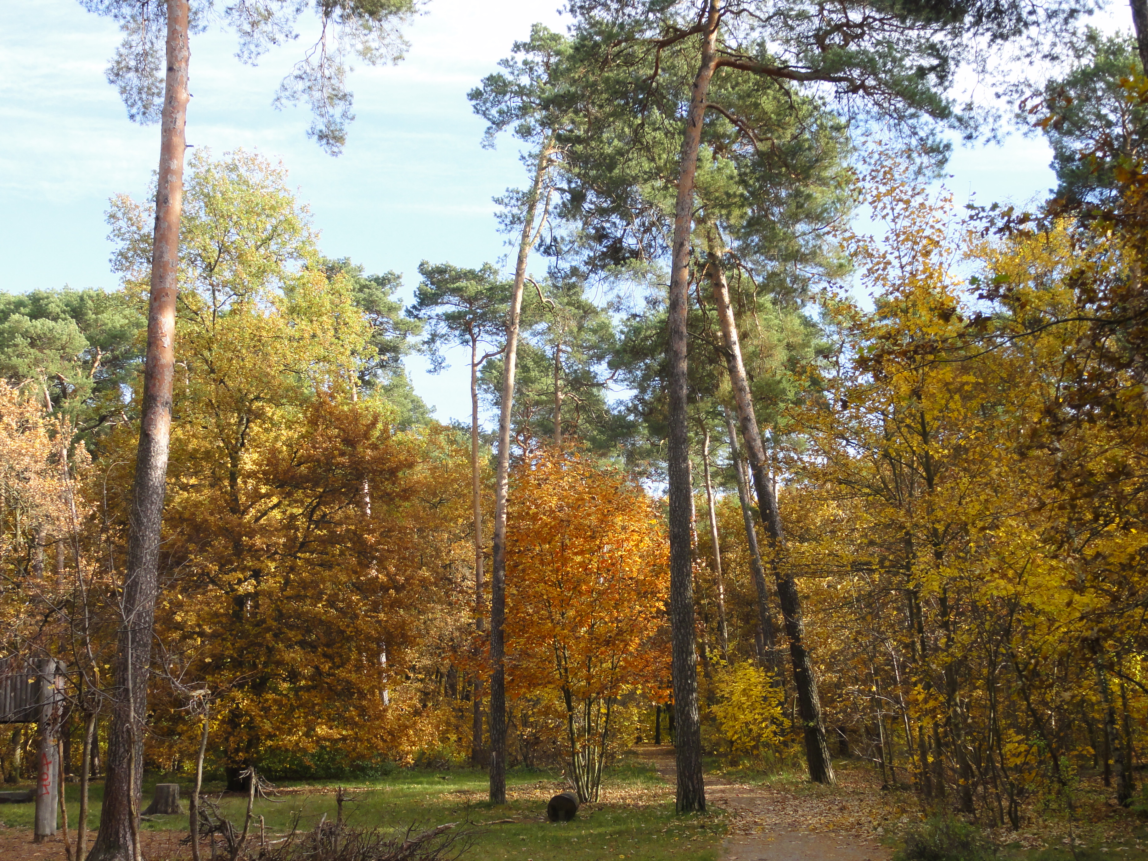
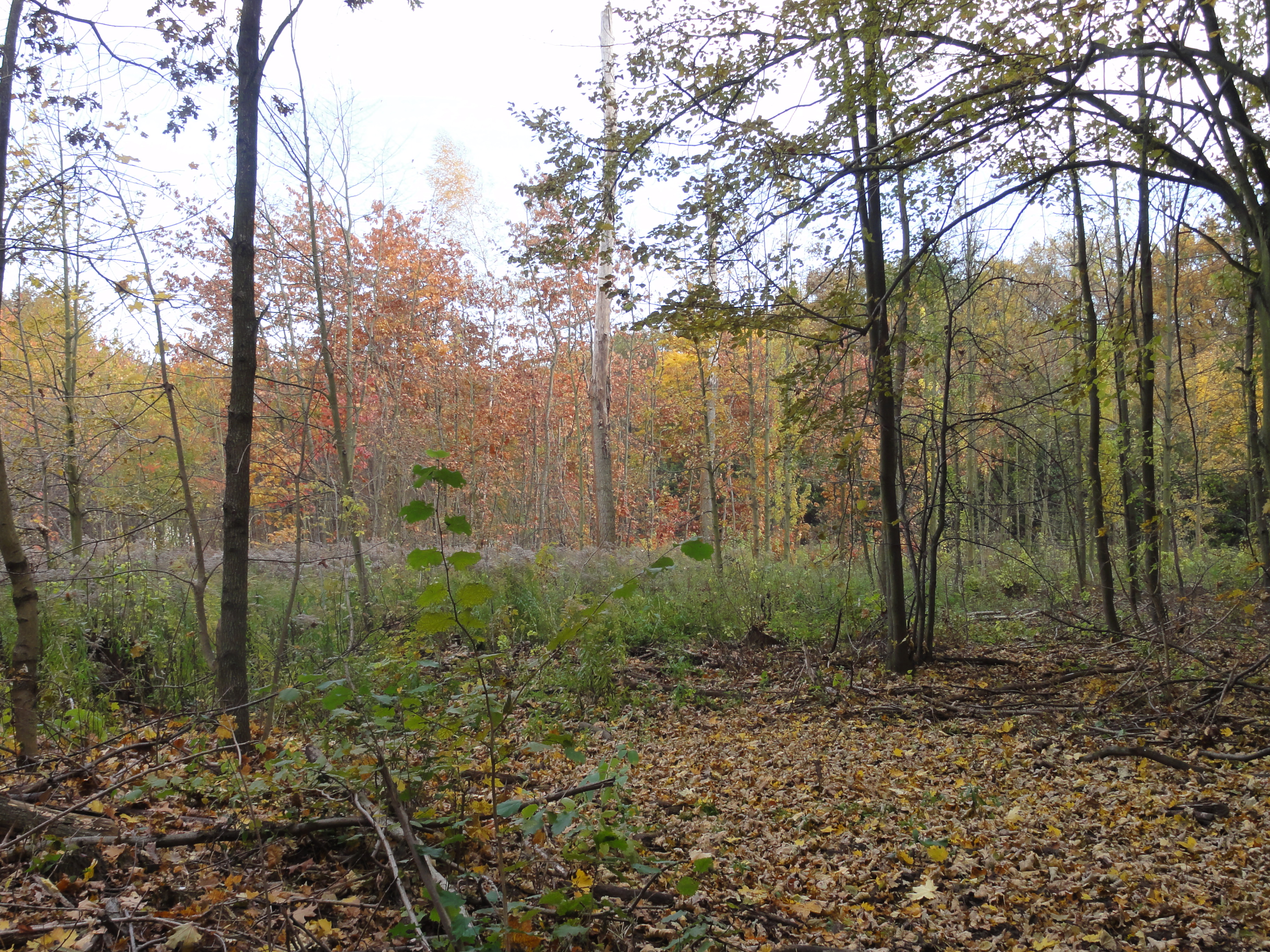
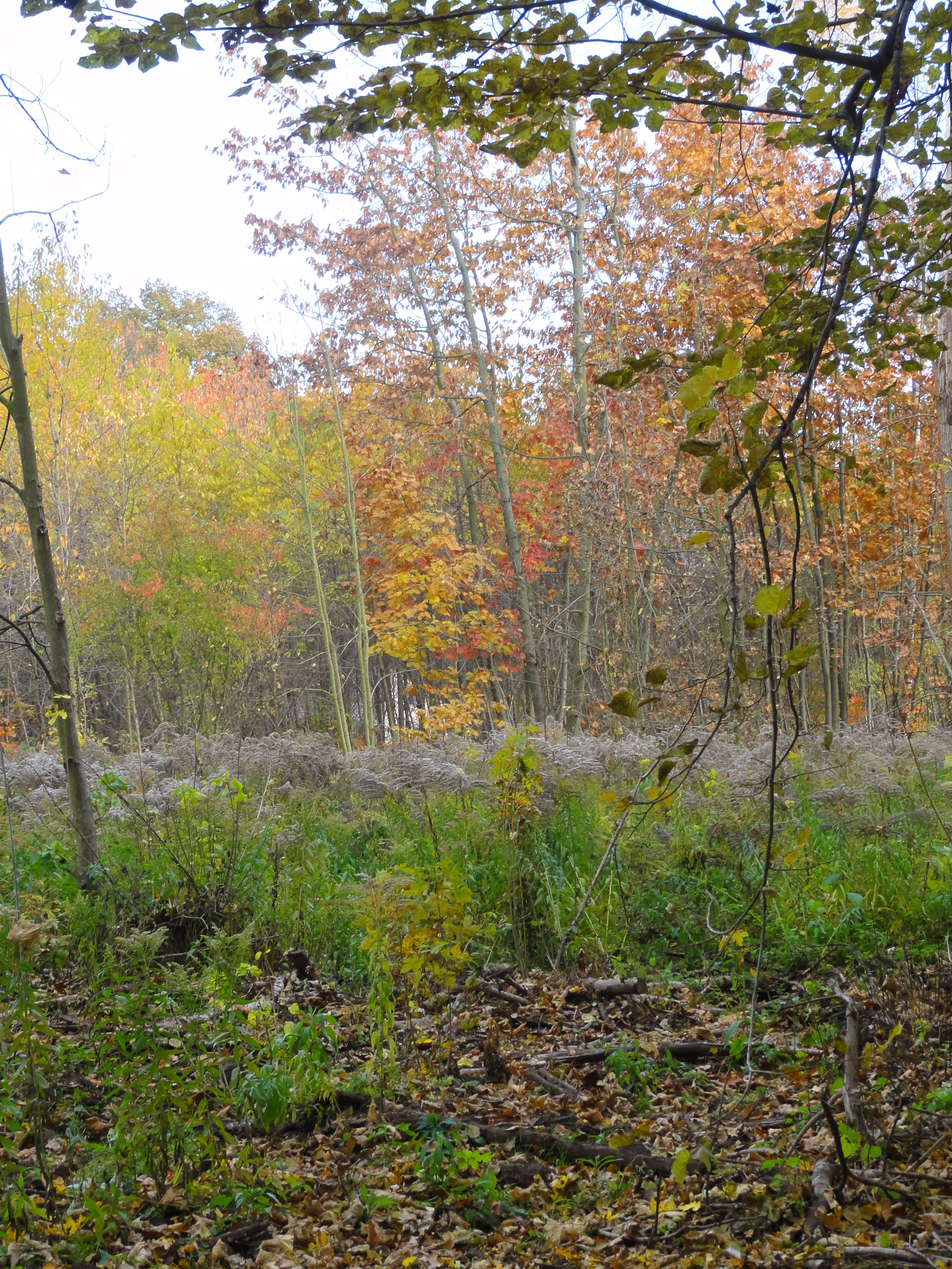
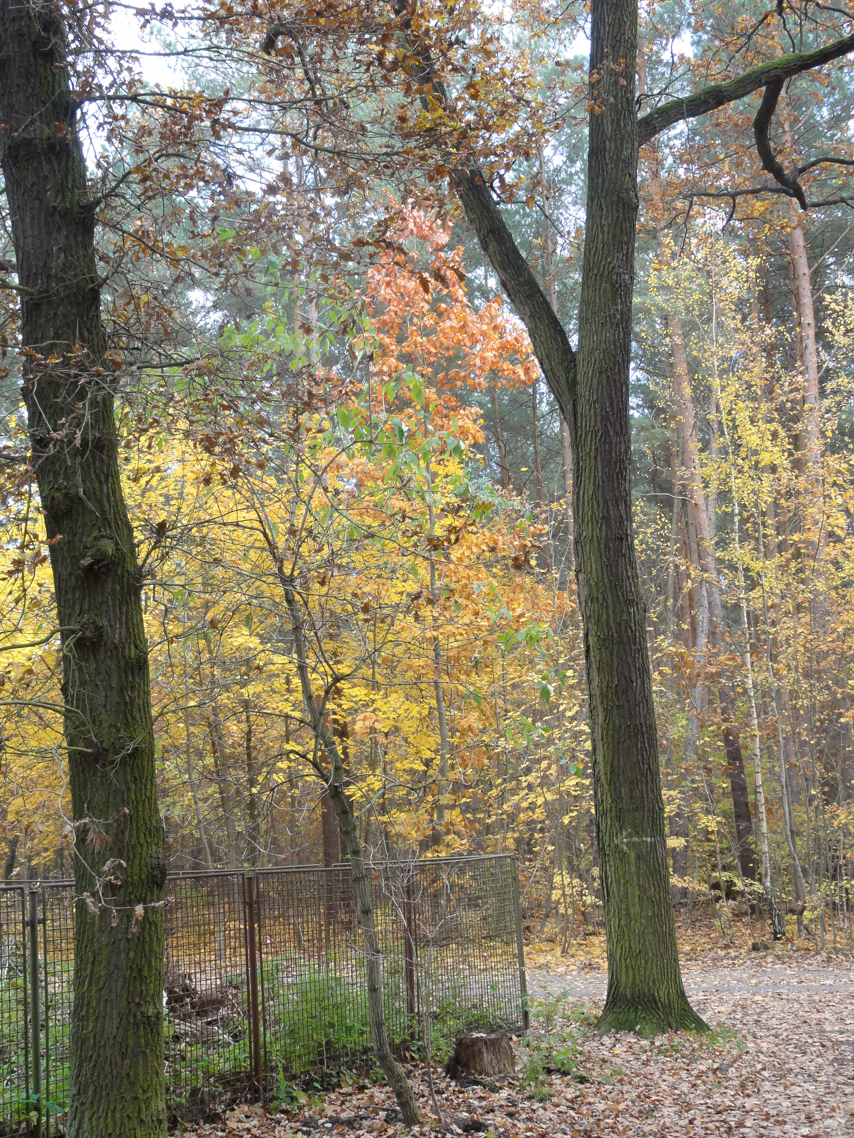
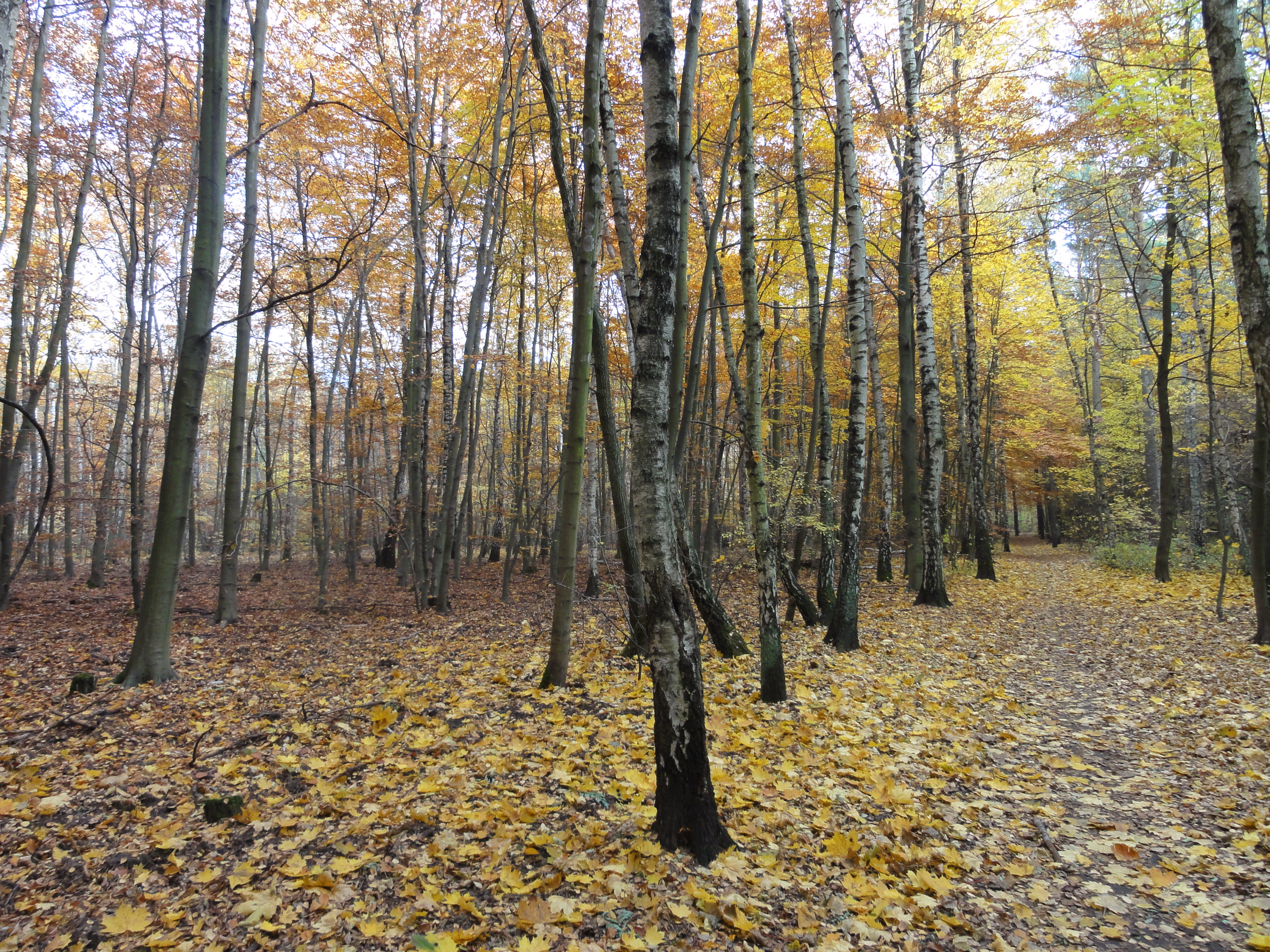
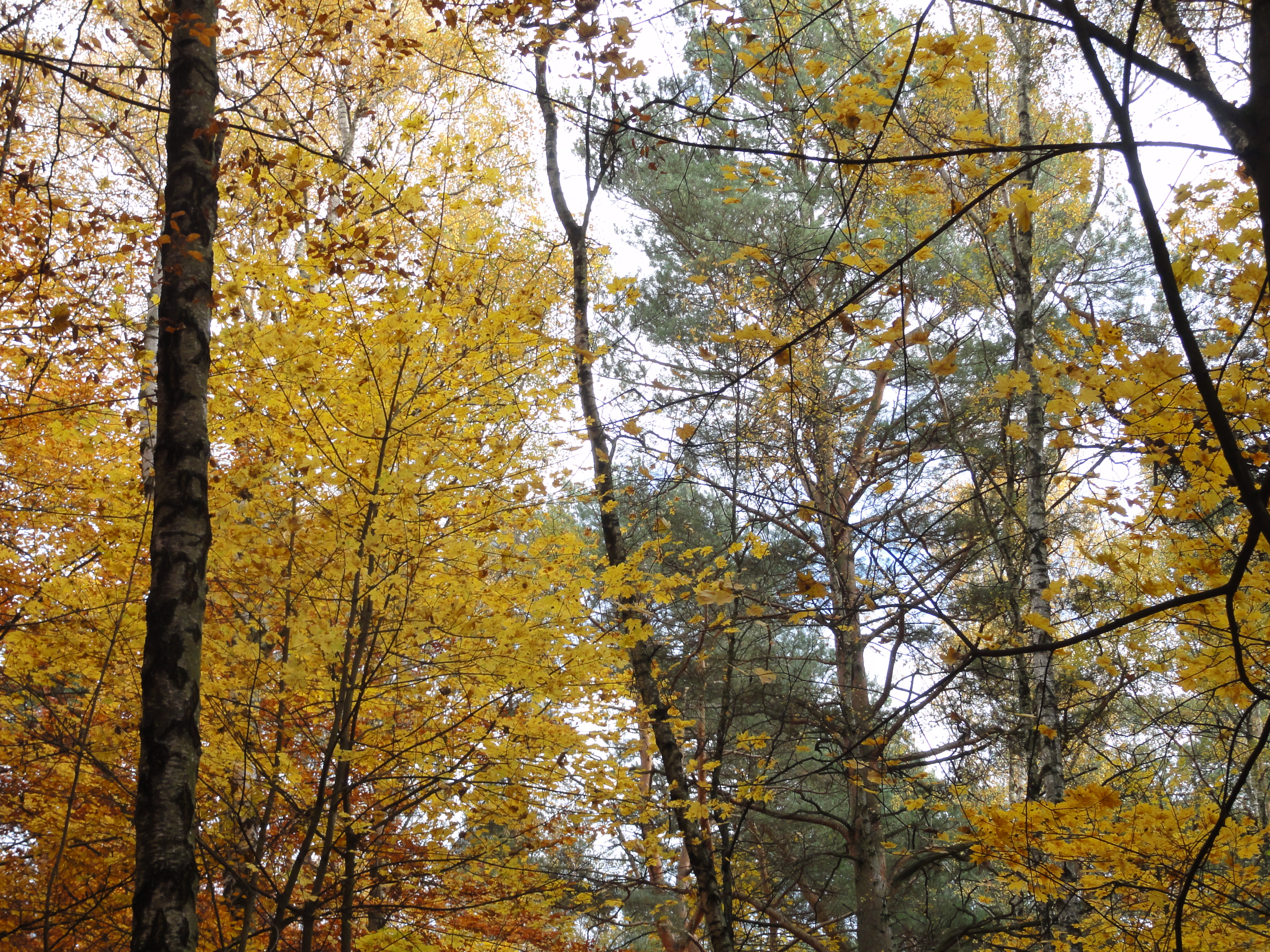
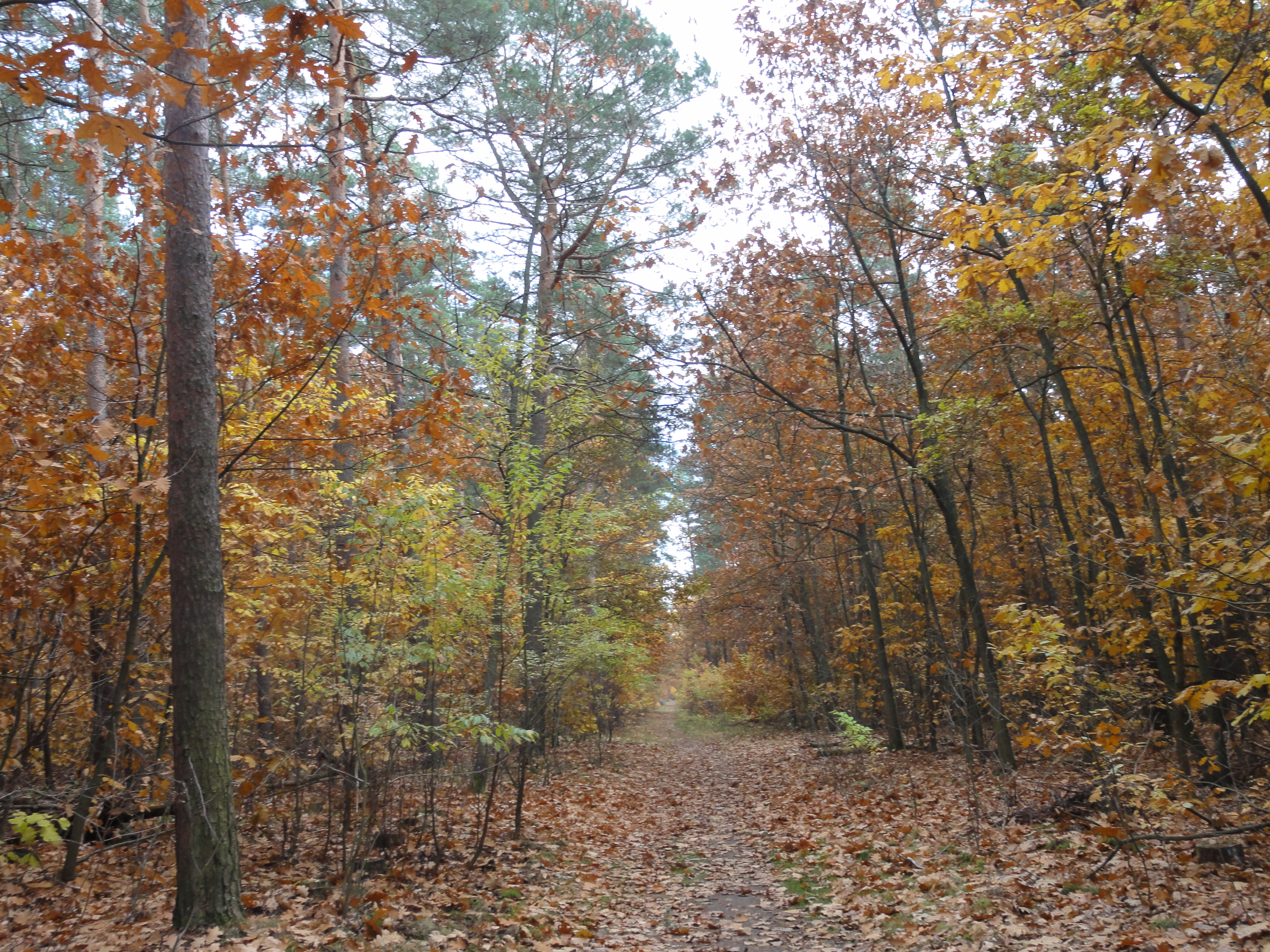
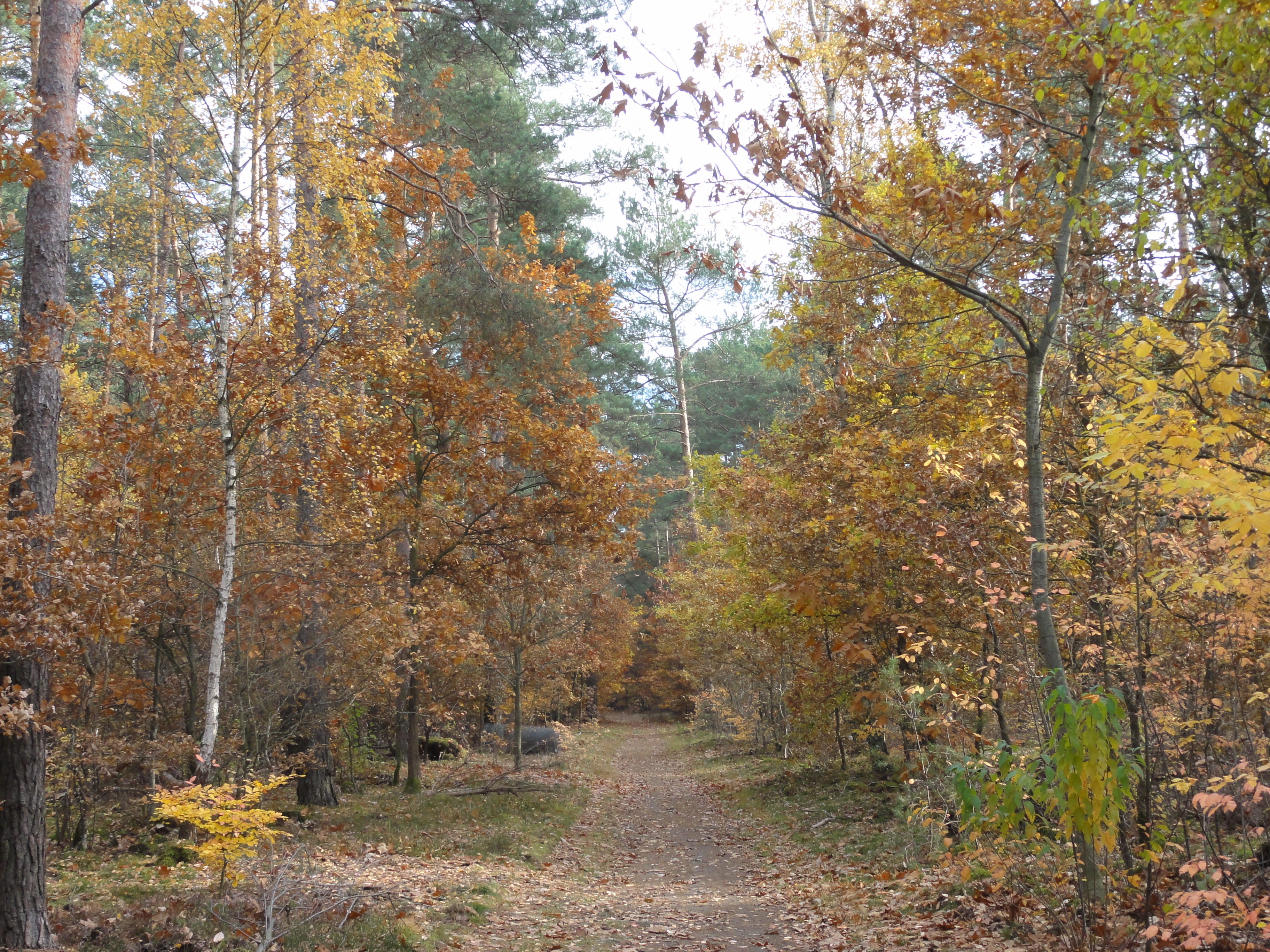
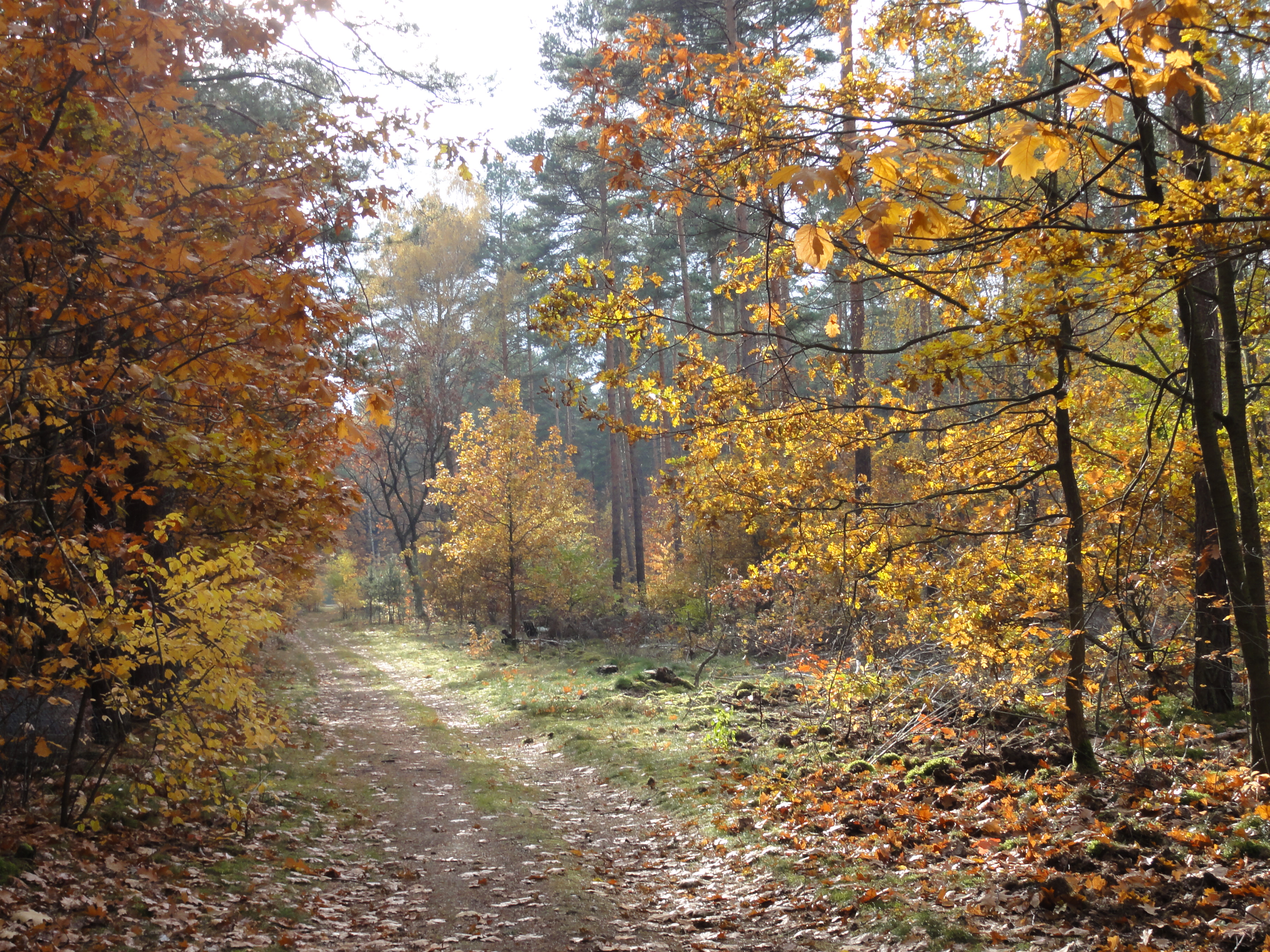
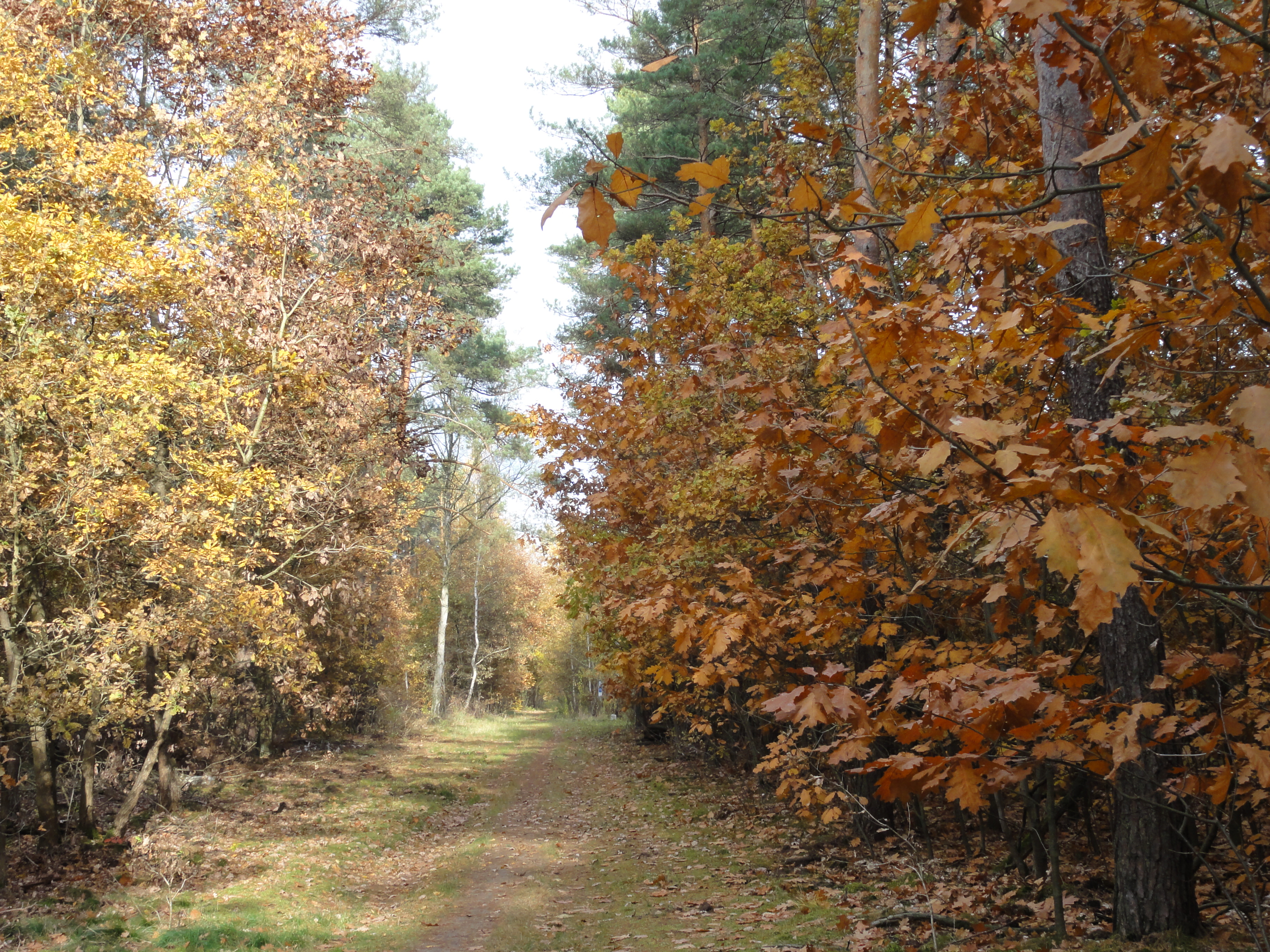
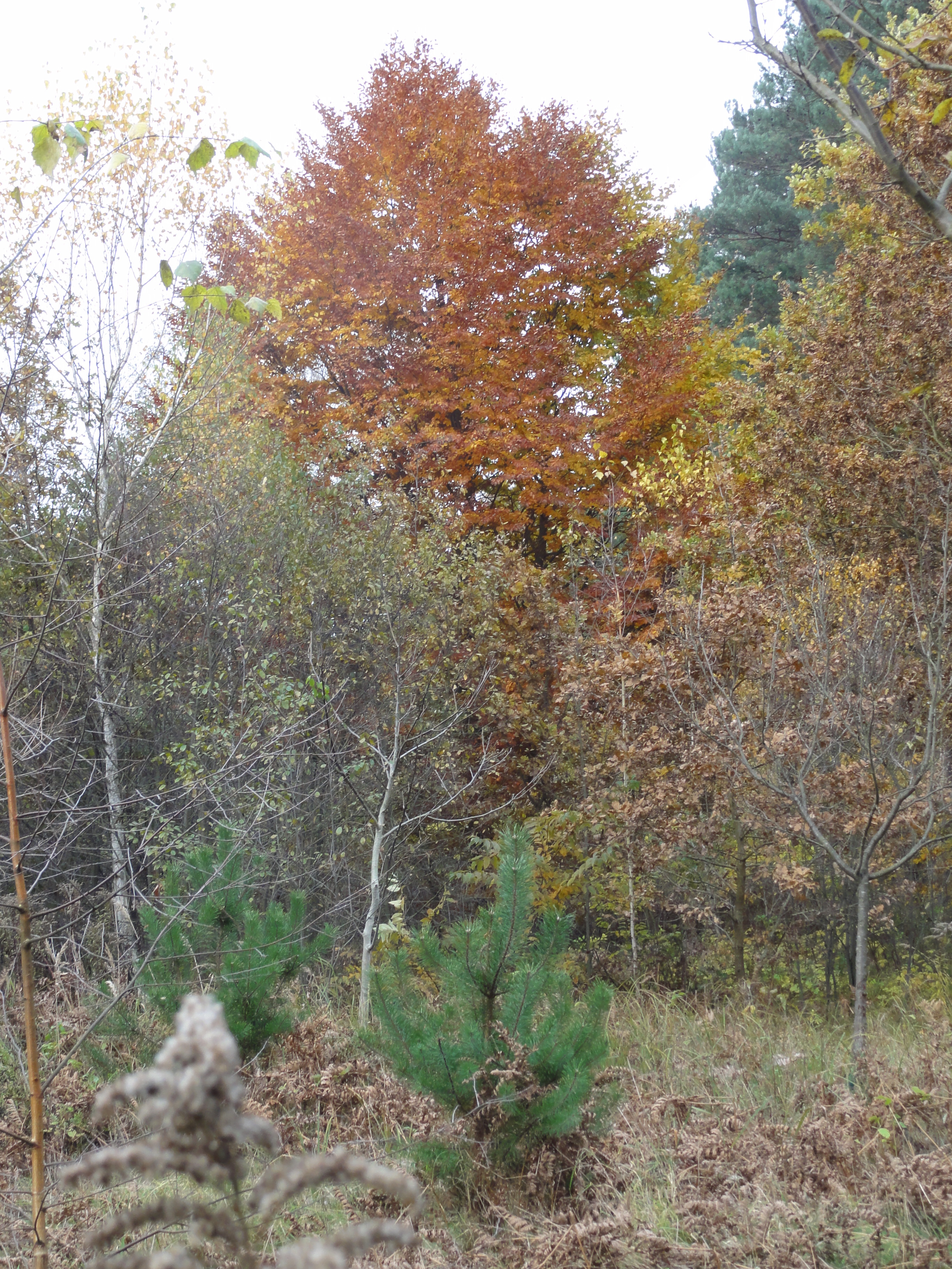
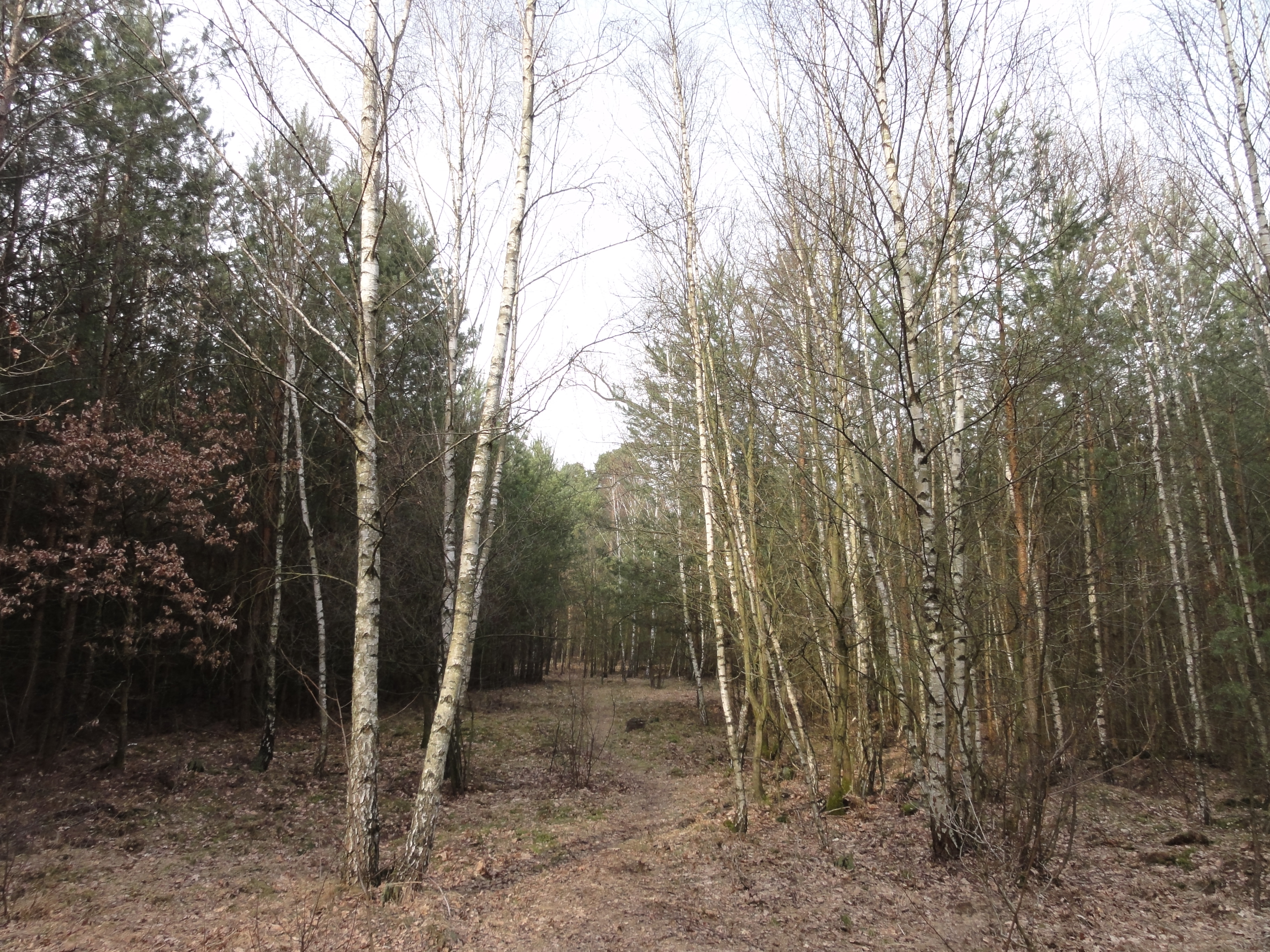
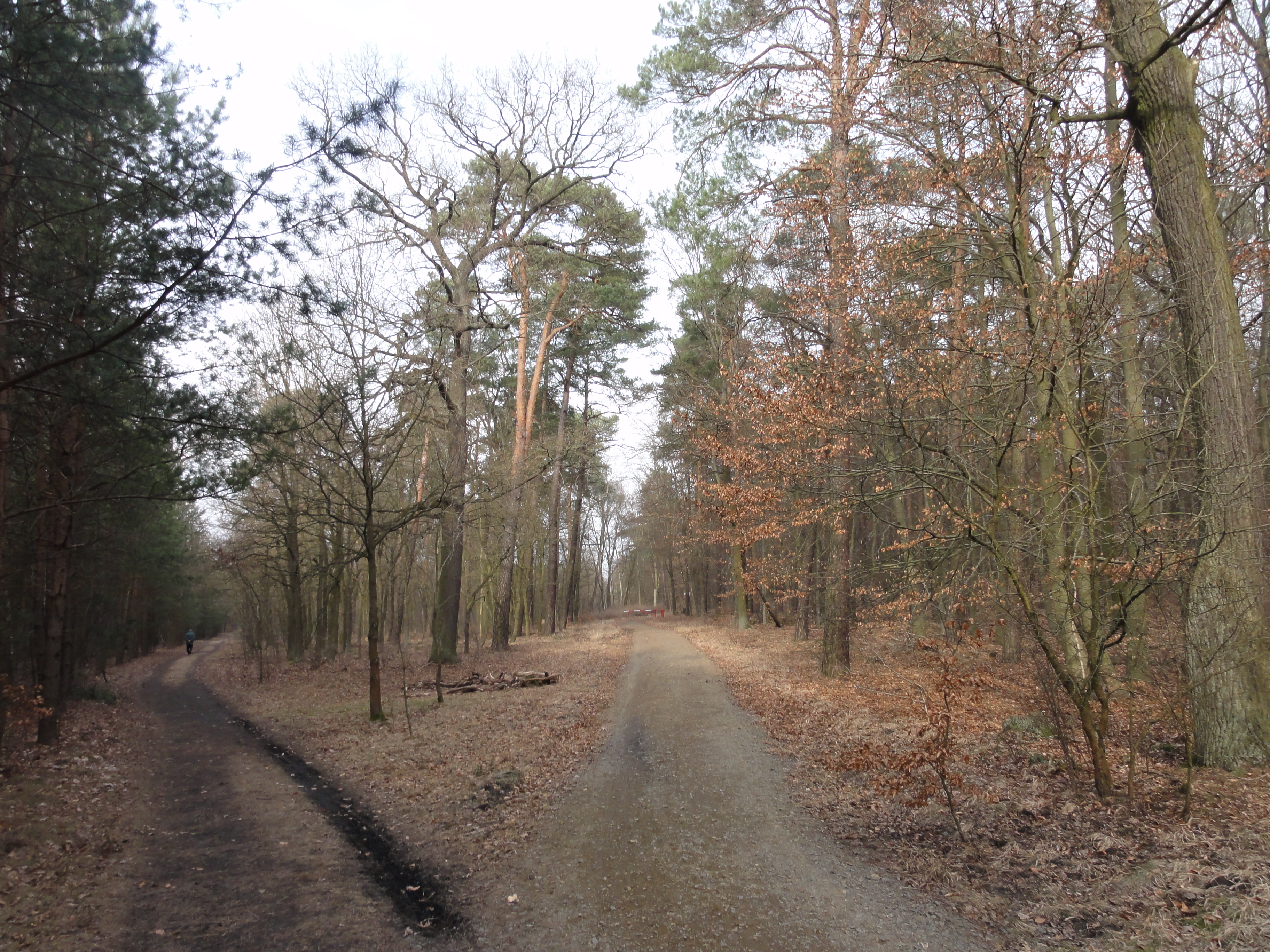
As you can see, the forest here is pleasantly mixed, not only this typical Brandenburg sand standard, this pine and birch stuff:
|
|
2010:10:23 15:46:27
---
52 deg 29' 5.47" N, 13 deg 38' 25.26" E
314.5
°
©
ml
|
|
|
2010:10:23 15:46:40
---
52 deg 29' 5.46" N, 13 deg 38' 25.23" E
101.5
°
©
ml
|
|
|
2010:10:23 15:46:54
---
52 deg 29' 5.69" N, 13 deg 38' 25.36" E
353.5
°
©
ml
|
|
|
2010:10:23 15:59:23
---
52 deg 29' 27.23" N, 13 deg 38' 53.00" E
3.25
°
©
ml
|
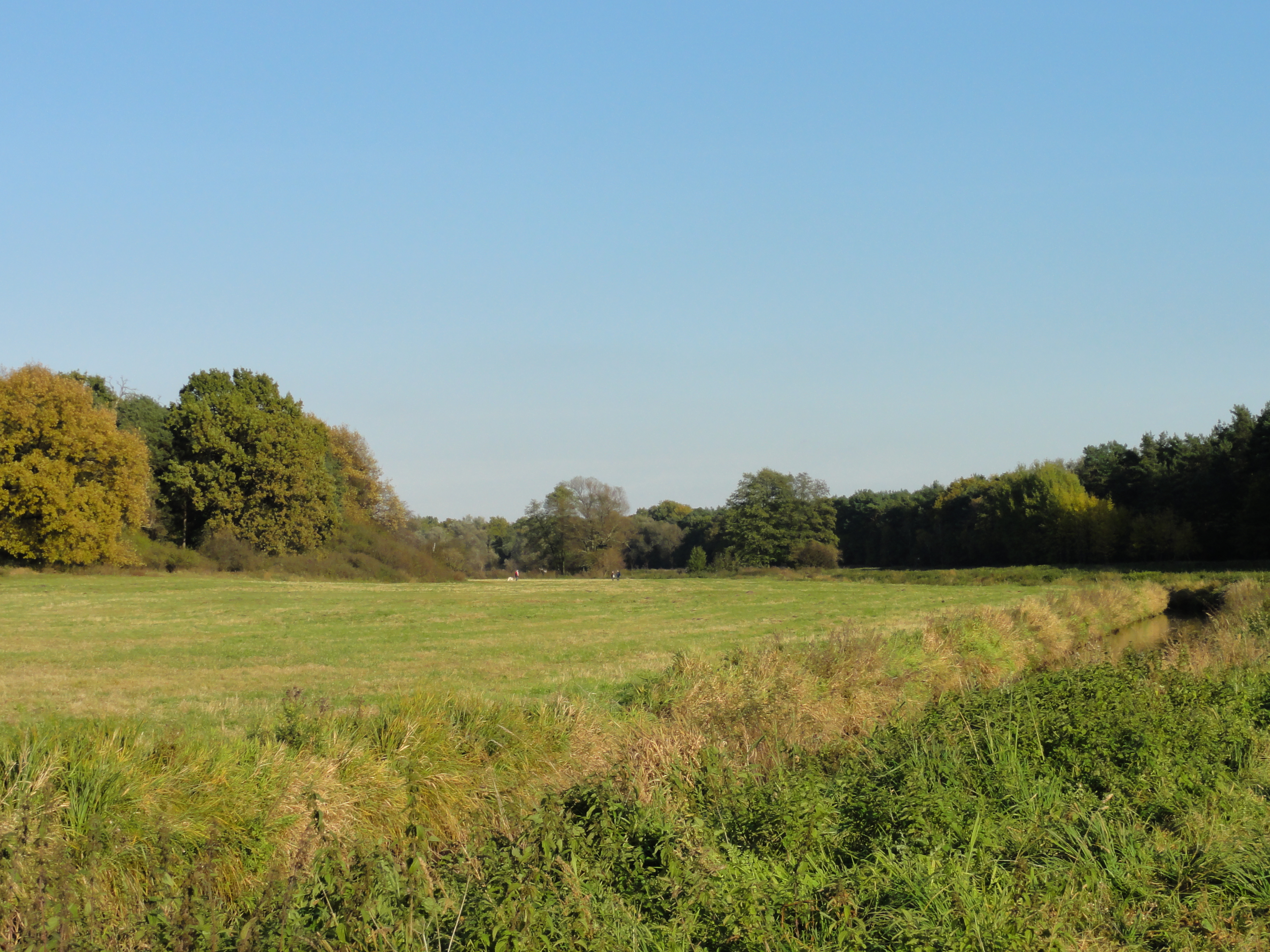
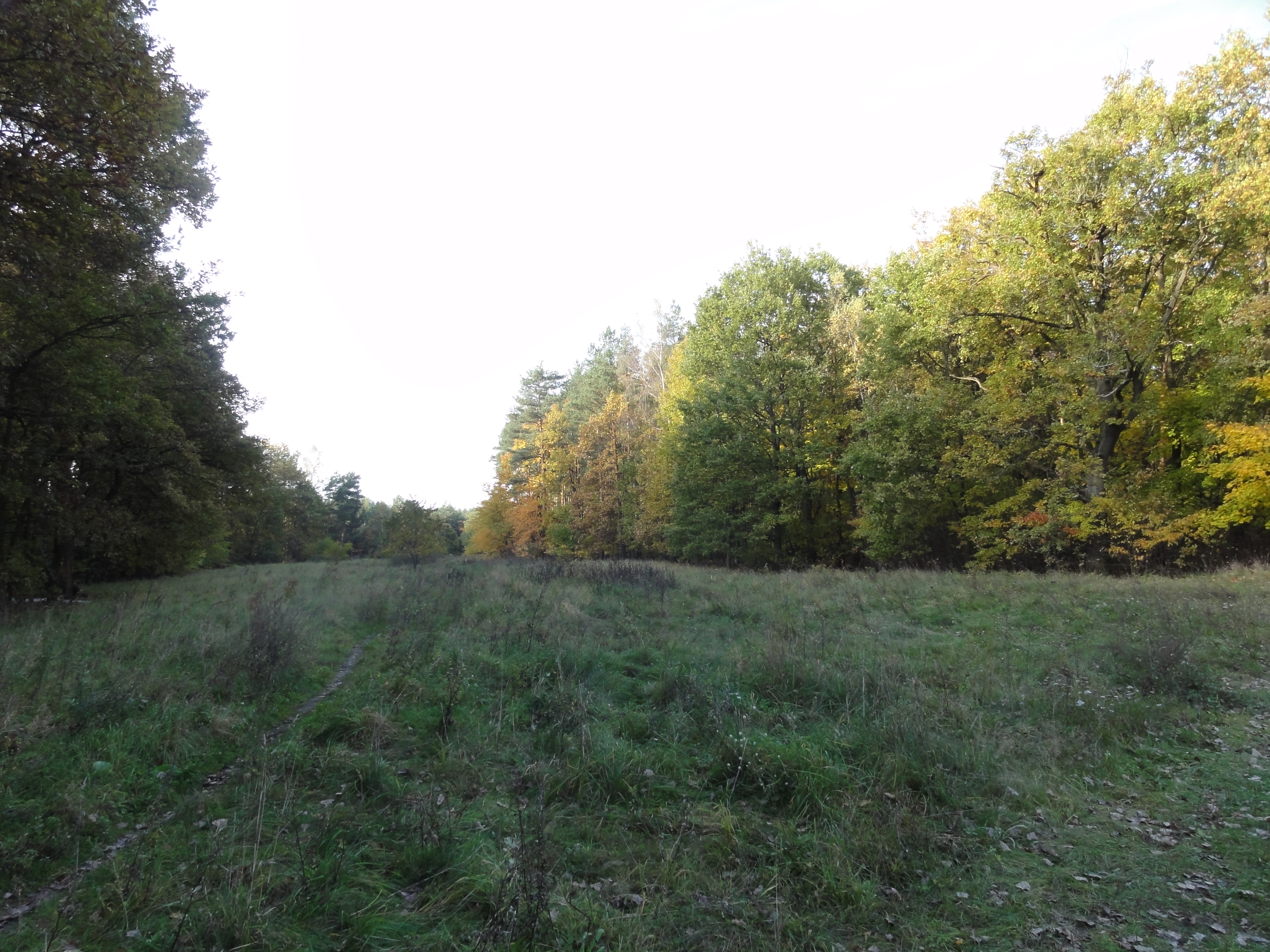
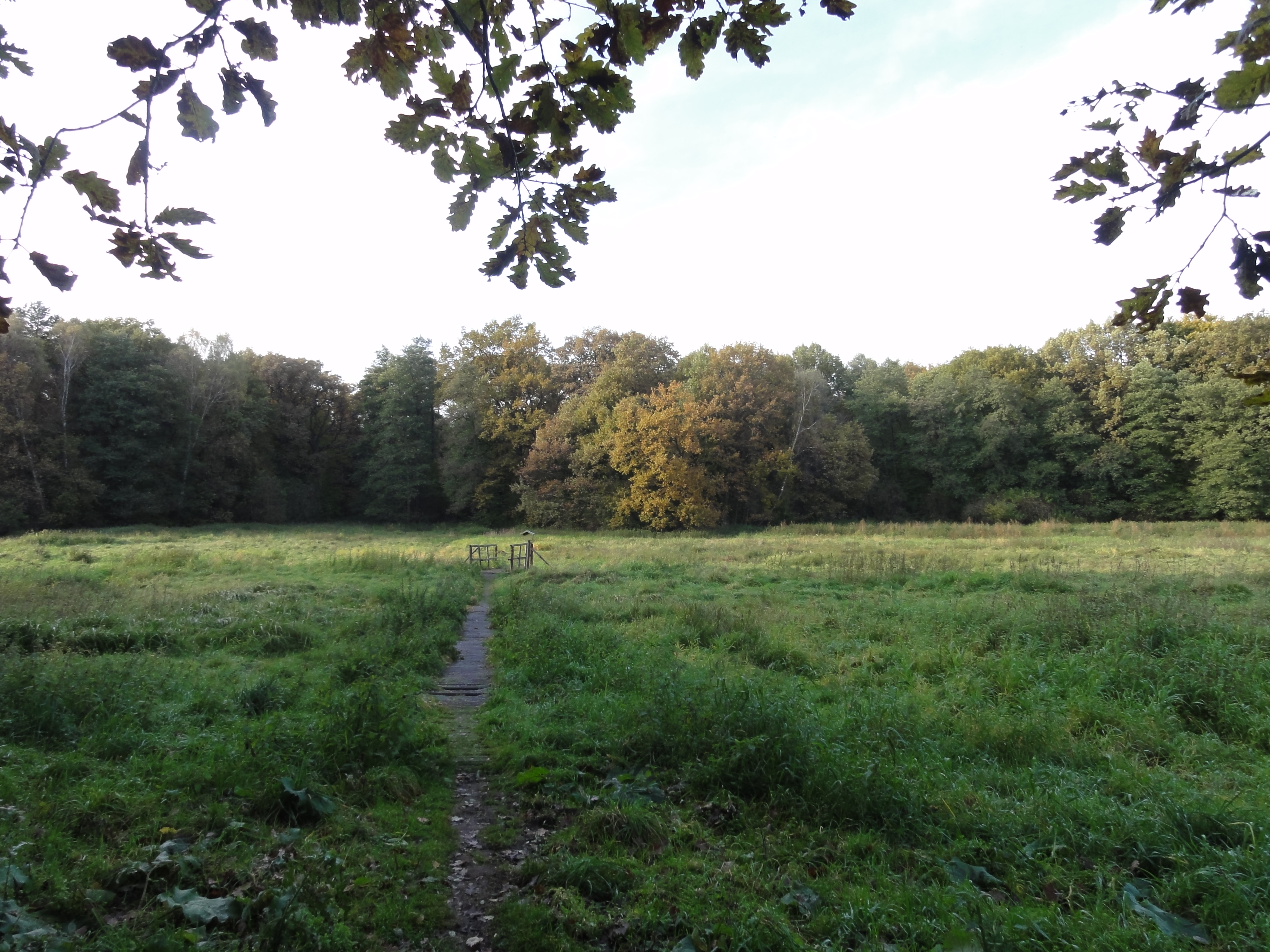
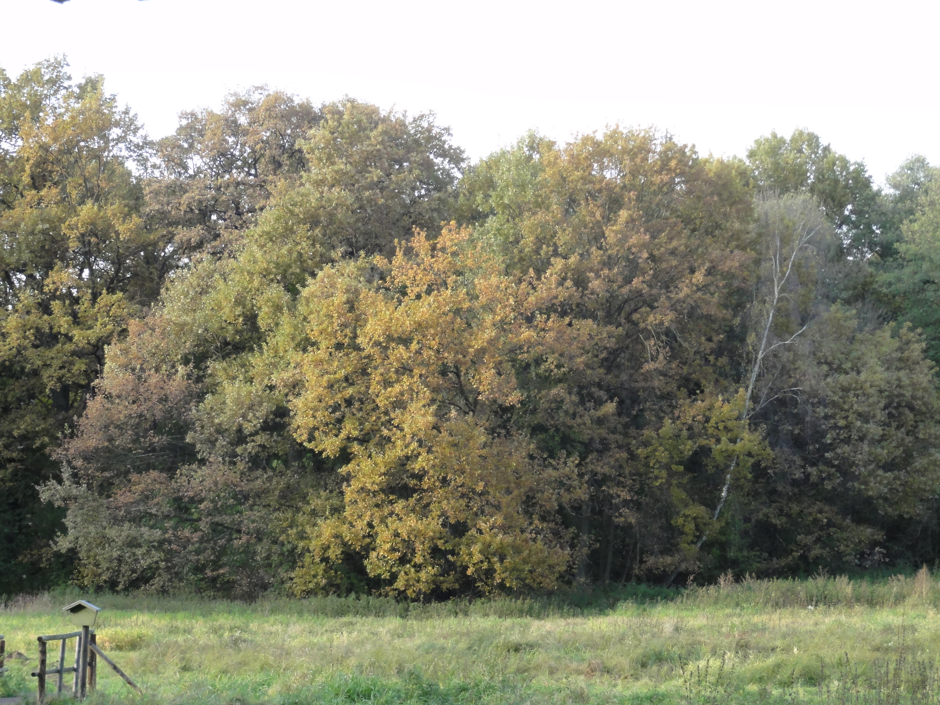
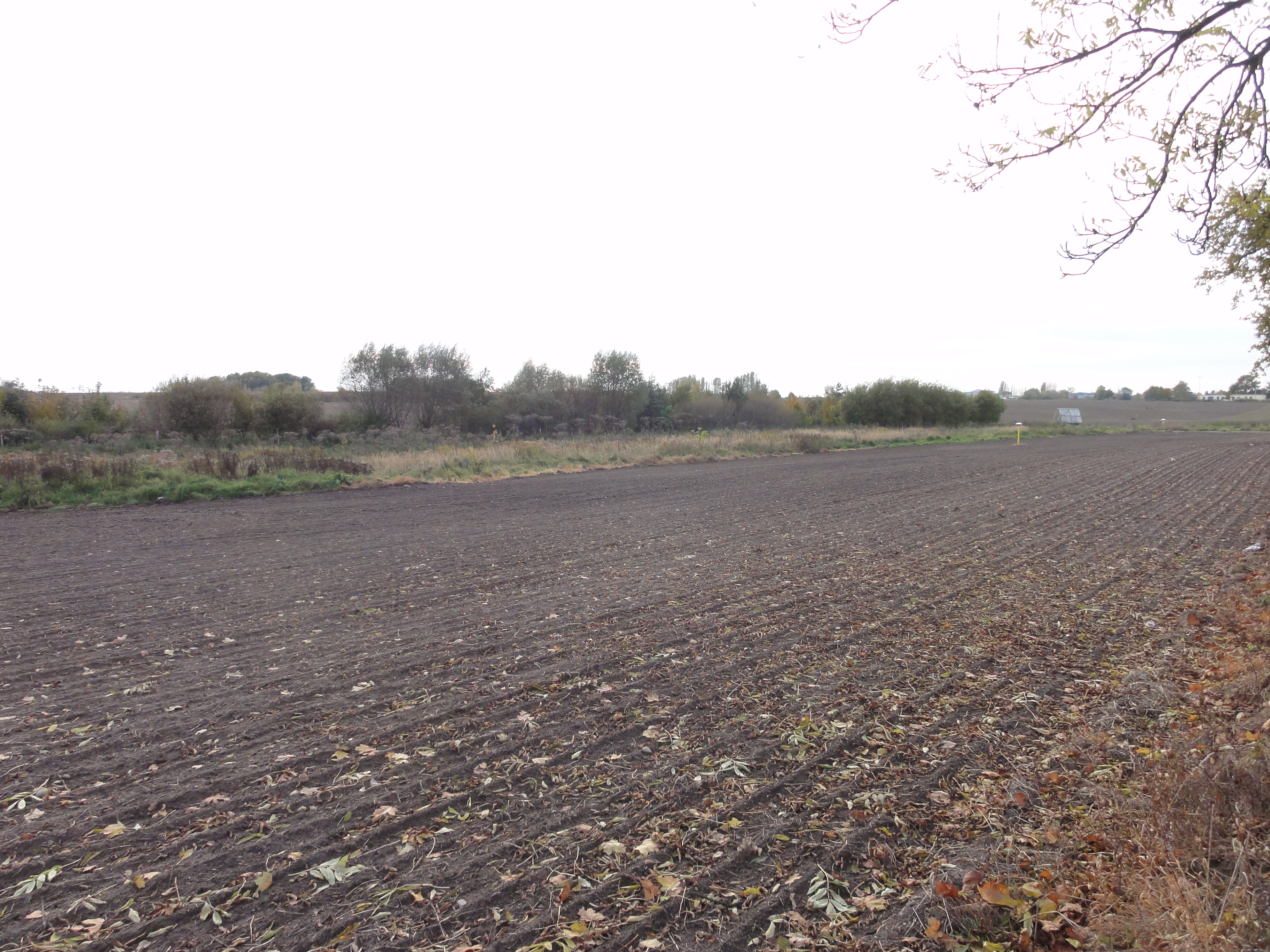
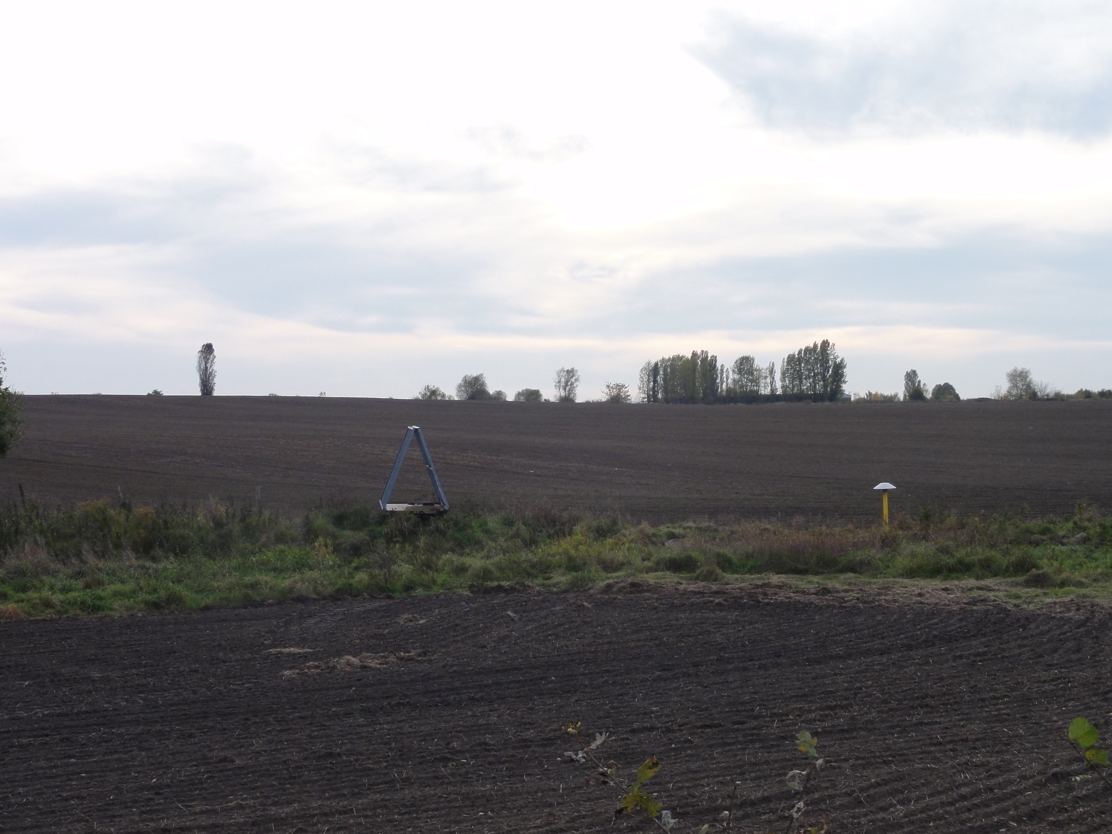
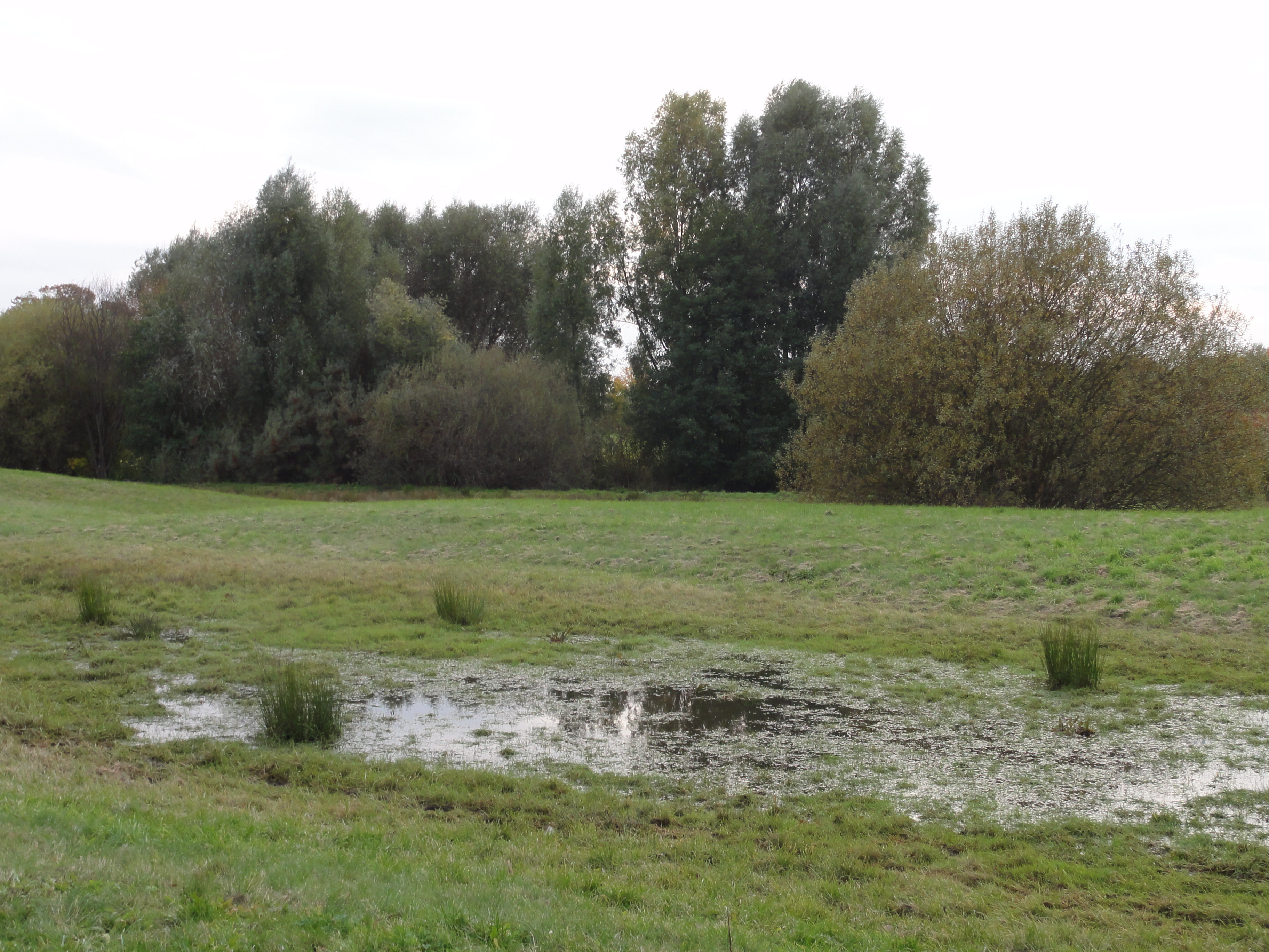
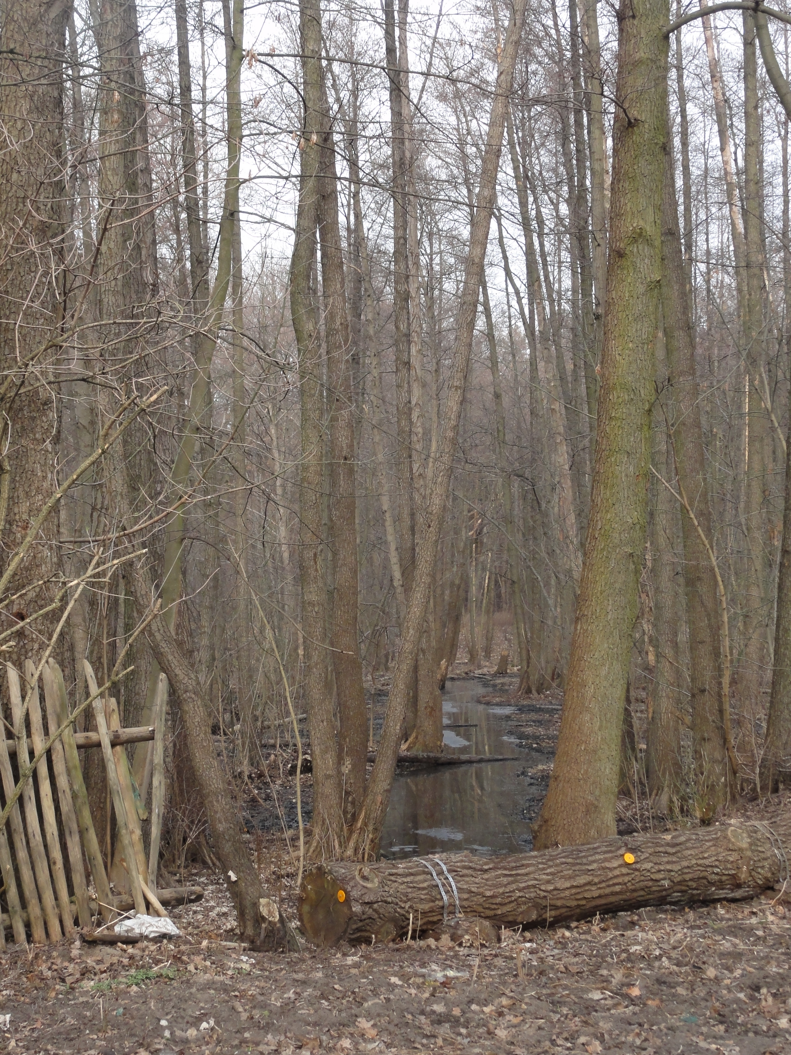
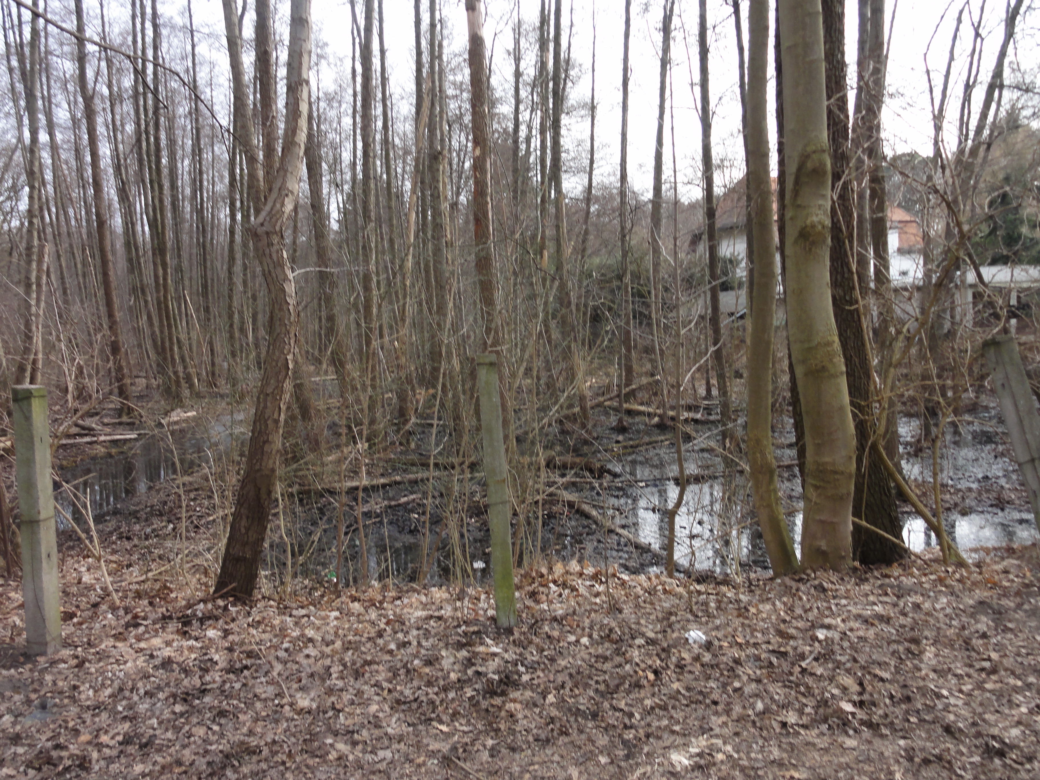
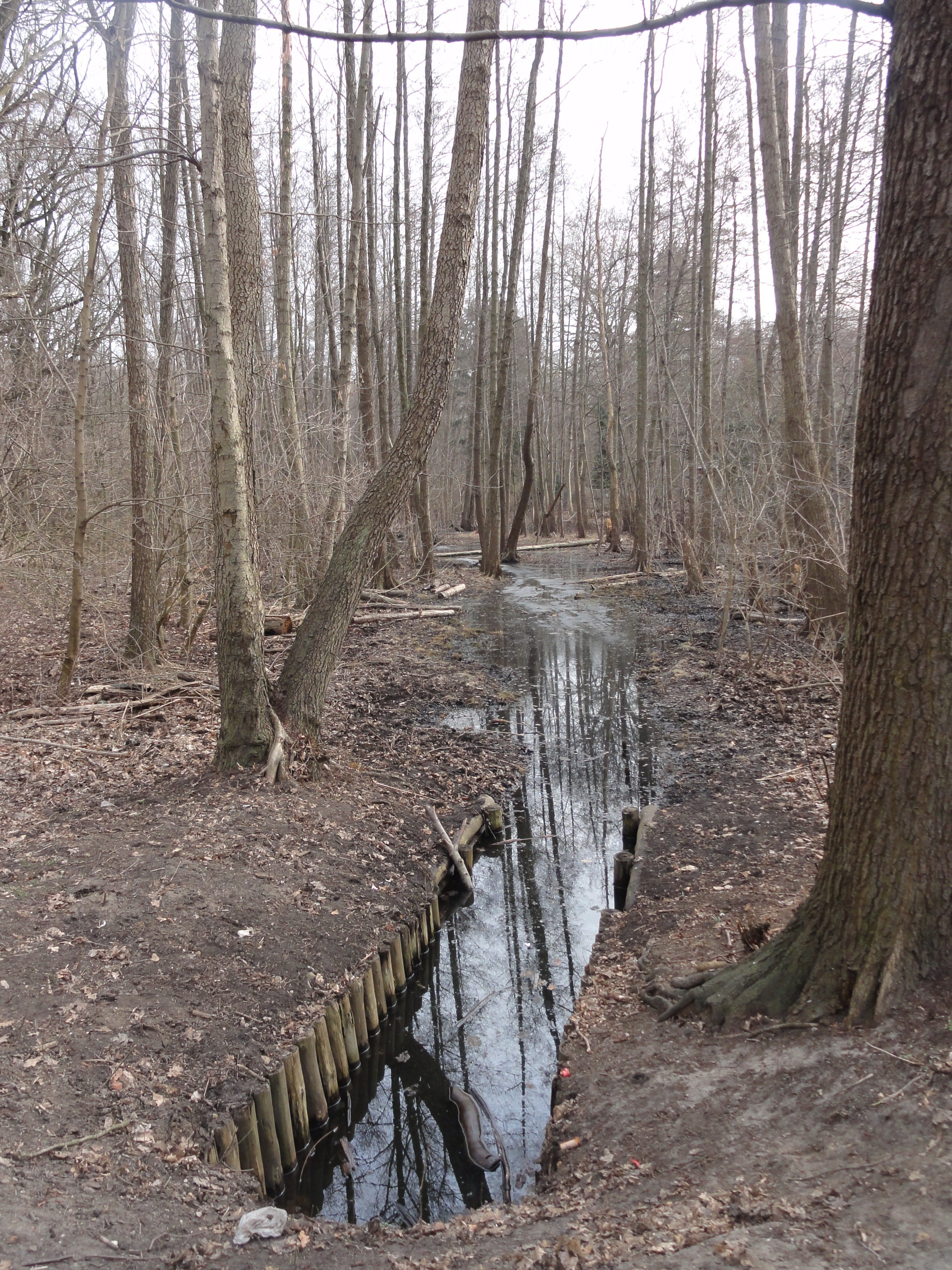
Then you will reach another clearing, and here the real tough stuff starts: The ditch in the middle is the WERNERGRABEN. We now follow this GRABEN which will lead us directly to the S-BAHN-STATION "Mahlsdorf". Believe it or not.
|
|
2010:10:23 16:06:24
---
52 deg 29' 27.23" N, 13 deg 38' 53.00" E
321.25
°
©
ml
|
|
|
2010:10:23 16:06:30
---
52 deg 29' 42.06" N, 13 deg 39' 0.26" E
322.5
°
©
ml
|
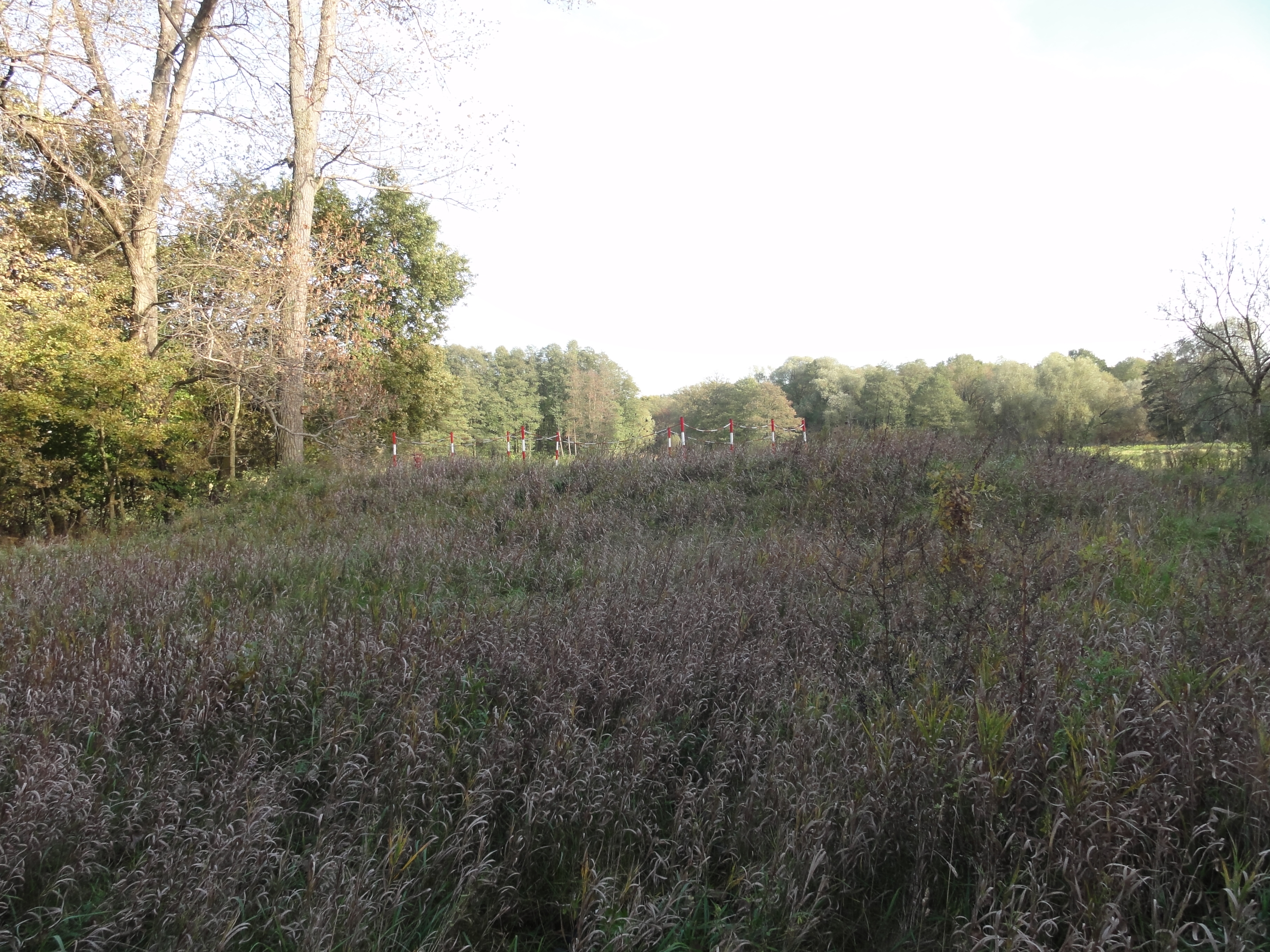
So please follow the Graben over the muddy, wet meadows. After two hundred meters (after it turned sharp to the right and you entered the forest again) you will probably notice that you could have taken the official Wanderweg with the same result, because they meet again. (But I did not want to tell you !-)
But this is only for few hundred meters: after we crossed the main road (Friedrichshagener Chausee) there is no alternative for pedestrians: you have to follow the Graben over the fields, otherwise you will likely be smashed by the young Brandenburg stars of the country road! Do NOT try to walk the road, really !!!
|
2010:10:23 16:21:48
---
52 deg 29' 53.60" N, 13 deg 38' 33.75" E
 192.5
°
©
ml
192.5
°
©
ml
|
|
|
2010:10:23 16:22:02
---
52 deg 29' 53.54" N, 13 deg 38' 33.90" E
340.25
°
©
ml
|
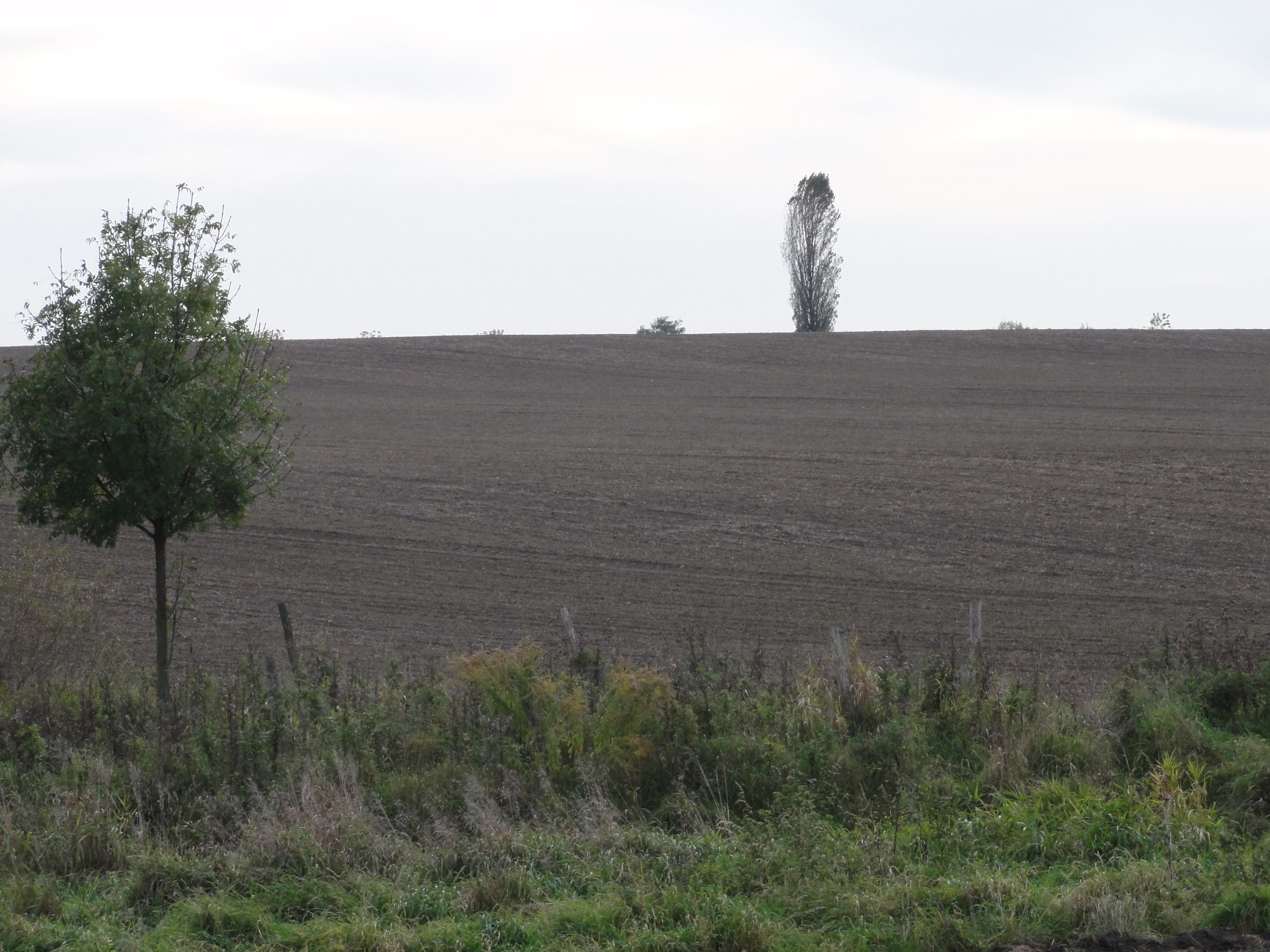
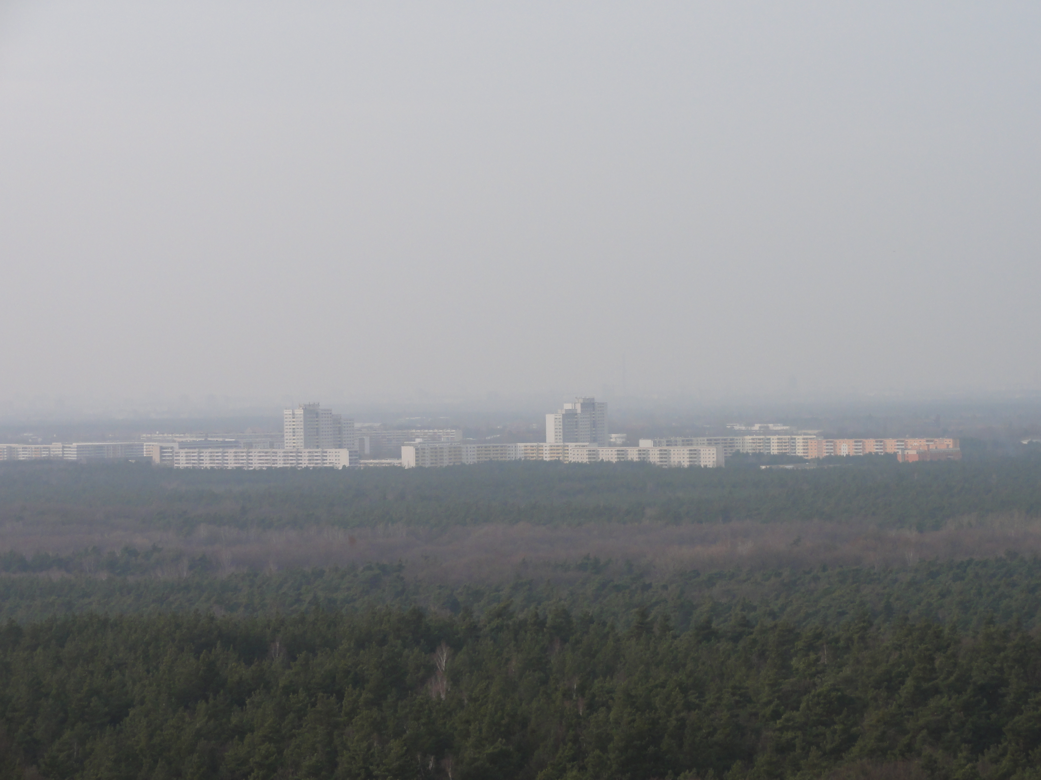
I always find it amazing, fascinating, how sharp the cut between
the city of Berlin and the Nirvana of Brandenburg is. At most places.
As here, and in Bukow, etc.
In West-Berlin its clear, there once was a wall (remember?) but even HERE, where
communists lived close to communists!
On the hills around Berlin there are many spots from which you can see
the concrete mountains on one side,
and the bare soil on the other, both up to the horizon.
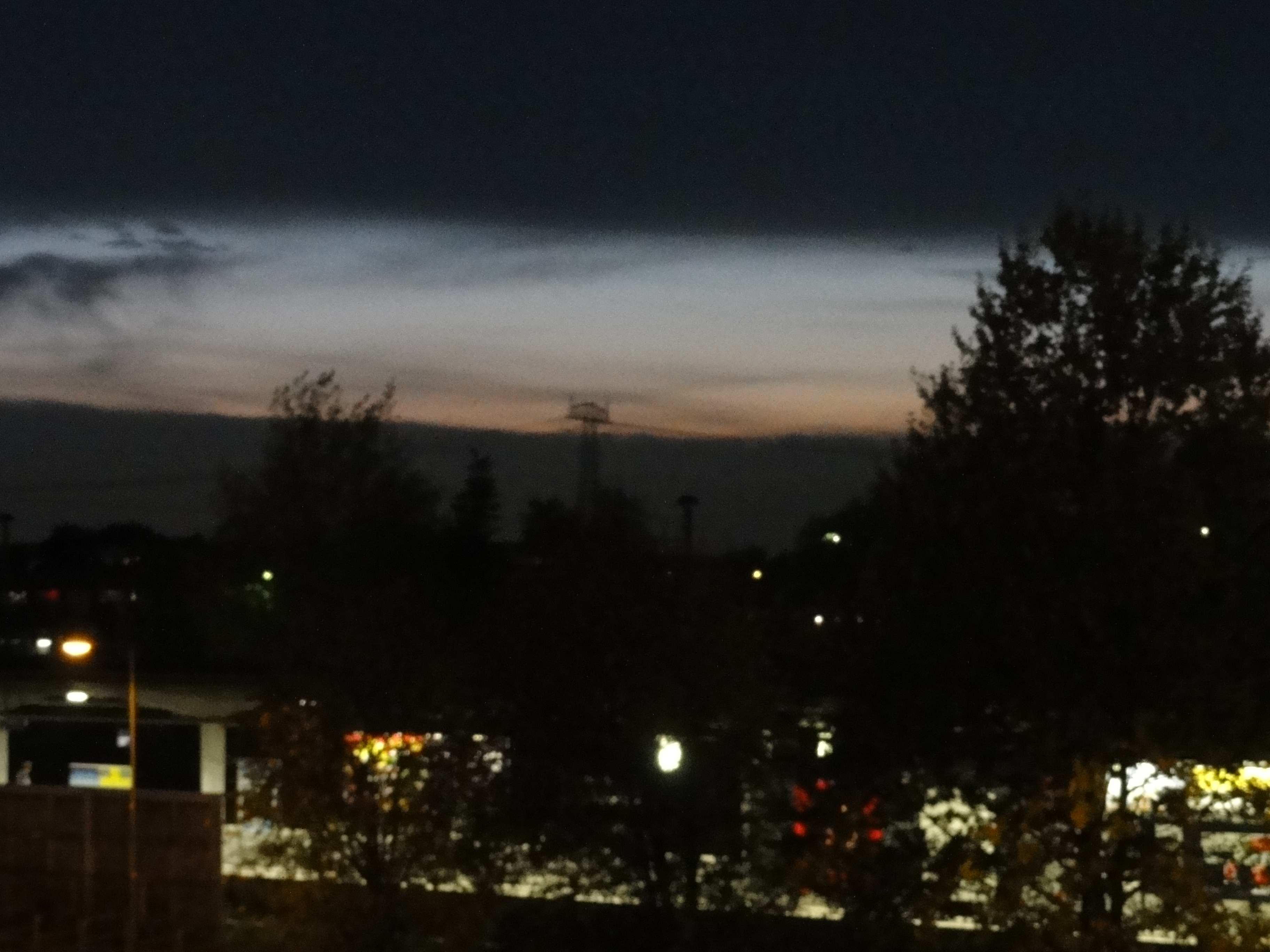
When sun goes down in such a setting, for me its always
a mystic moment, between far away from home and nowhere.
|
|
2010:10:23 16:21:39
---
52 deg 29' 52.84" N, 13 deg 38' 33.39" E
107.75
°
©
ml
|
|
2010:10:23 16:36:22
---
52 deg 30' 8.76" N, 13 deg 38' 4.82" E
 229
°
©
ml
229
°
©
ml
|
|
|
2010:10:23 16:36:42
---
52 deg 30' 8.78" N, 13 deg 38' 4.92" E
222.75
°
©
ml
|
|
|
2010:10:23 16:38:45
---
52 deg 30' 9.81" N, 13 deg 37' 58.05" E
233.75
°
©
ml
|
|
|
2010:10:23 16:38:57
---
52 deg 30' 9.82" N, 13 deg 37' 58.03" E
220.75
°
©
ml
|
|
|
2010:10:23 16:39:15
---
52 deg 30' 9.93" N, 13 deg 37' 57.95" E
218.75
°
©
ml
|
|
|
2010:10:23 16:39:35
---
52 deg 30' 9.88" N, 13 deg 37' 57.91" E
244.5
°
©
ml
|
|
|
2010:10:23 16:39:42
---
52 deg 30' 10.02" N, 13 deg 37' 57.69" E
242.75
°
©
ml
|
IN CASE you manage to cross the Frankfurter Chaussee without being hit (remember, you are in BRANDENBURG !-) you re-enter Berlin and you will be welcomed by a most beautiful PARK, put directly here at the city limits specially for wanderers following the Wernergraben !
|
|
2010:10:23 16:44:00
---
52 deg 30' 11.69" N, 13 deg 37' 52.81" E
39
°
©
ml
|
|
|
2010:10:23 16:45:00
---
52 deg 30' 12.20" N, 13 deg 37' 54.53" E
321
°
©
ml
|
|
2010:10:23 16:45:13
---
52 deg 30' 12.52" N, 13 deg 37' 53.99" E
 278.5
°
©
ml
278.5
°
©
ml
|
|
|
2010:10:23 16:48:27
---
52 deg 30' 17.83" N, 13 deg 37' 52.24" E
216.25
°
©
ml
|
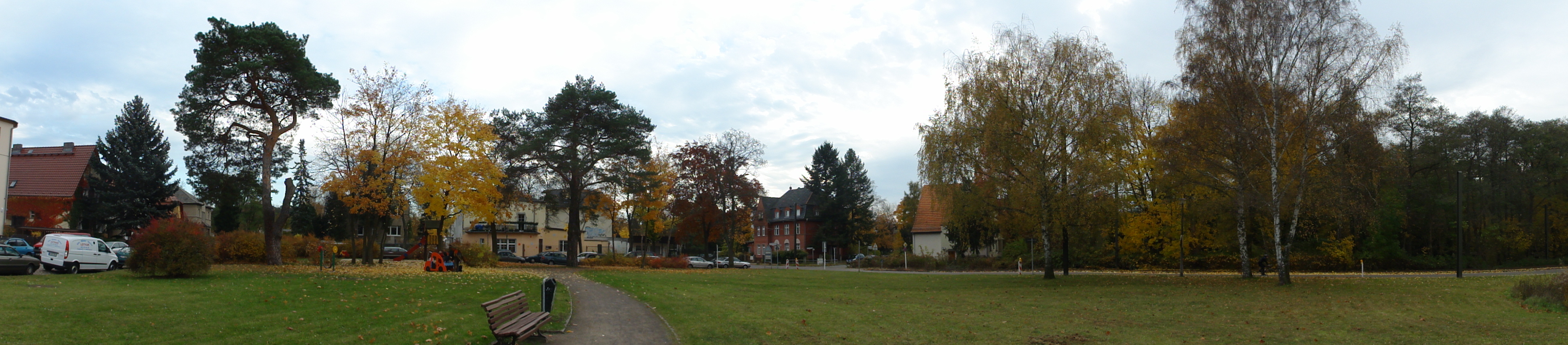
Finally, you reach Mahlsdorf. All streets carry the names of composers, but not the Landvogt-straße. It once was called Mendelssohn-Str., and who do you think did change this? And who did NOT revert this change?
|
2010:10:23 17:01:22
---
52 deg 30' 32.73" N, 13 deg 37' 29.40" E
 269
°
©
ml
269
°
©
ml
|
One COULD follow the Wernergraben further, but since in enters the private back-gardens of the houses, this would be a kind of trespassing.
(Because justamente there came a bus, we took it !-)
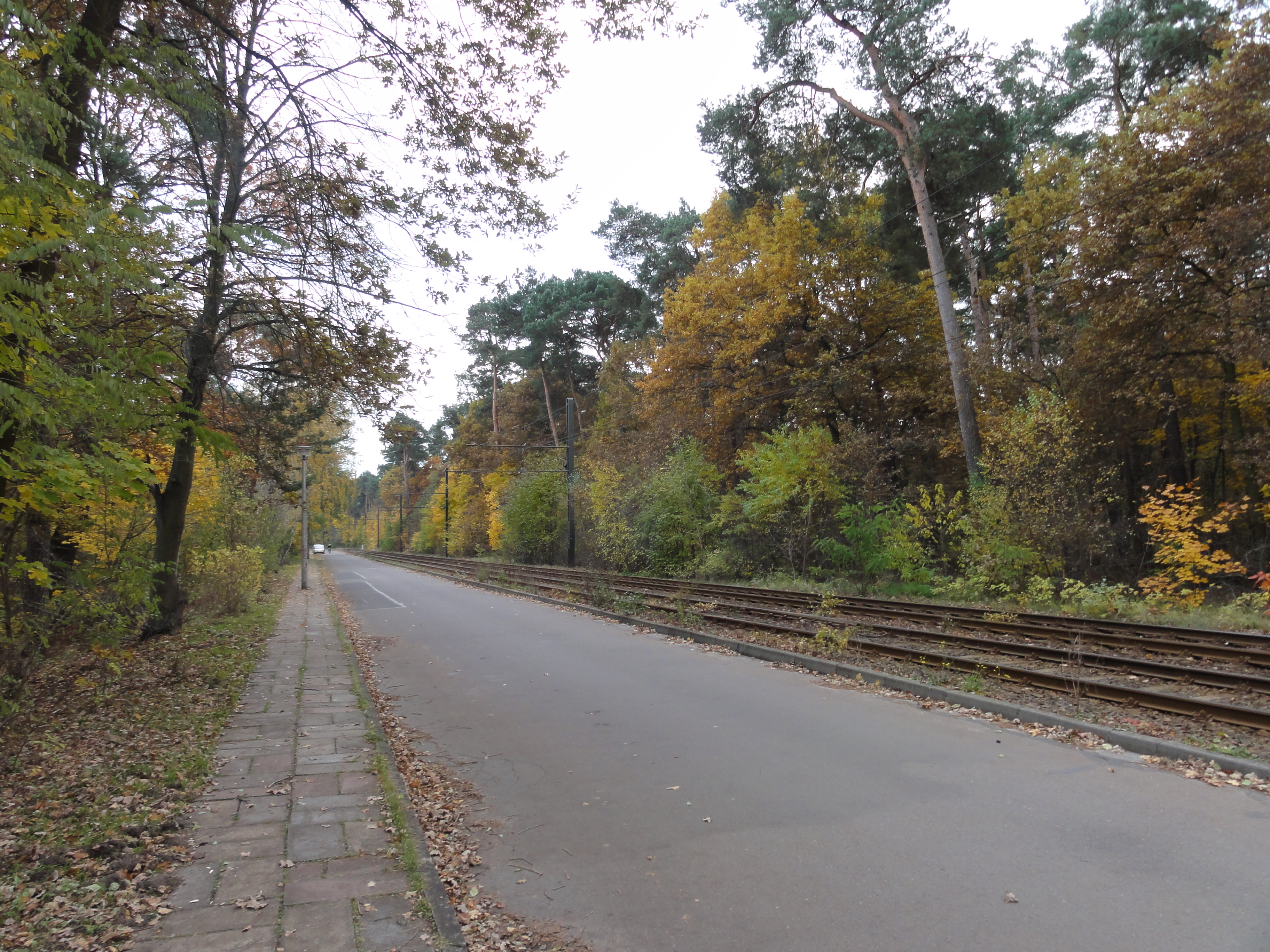
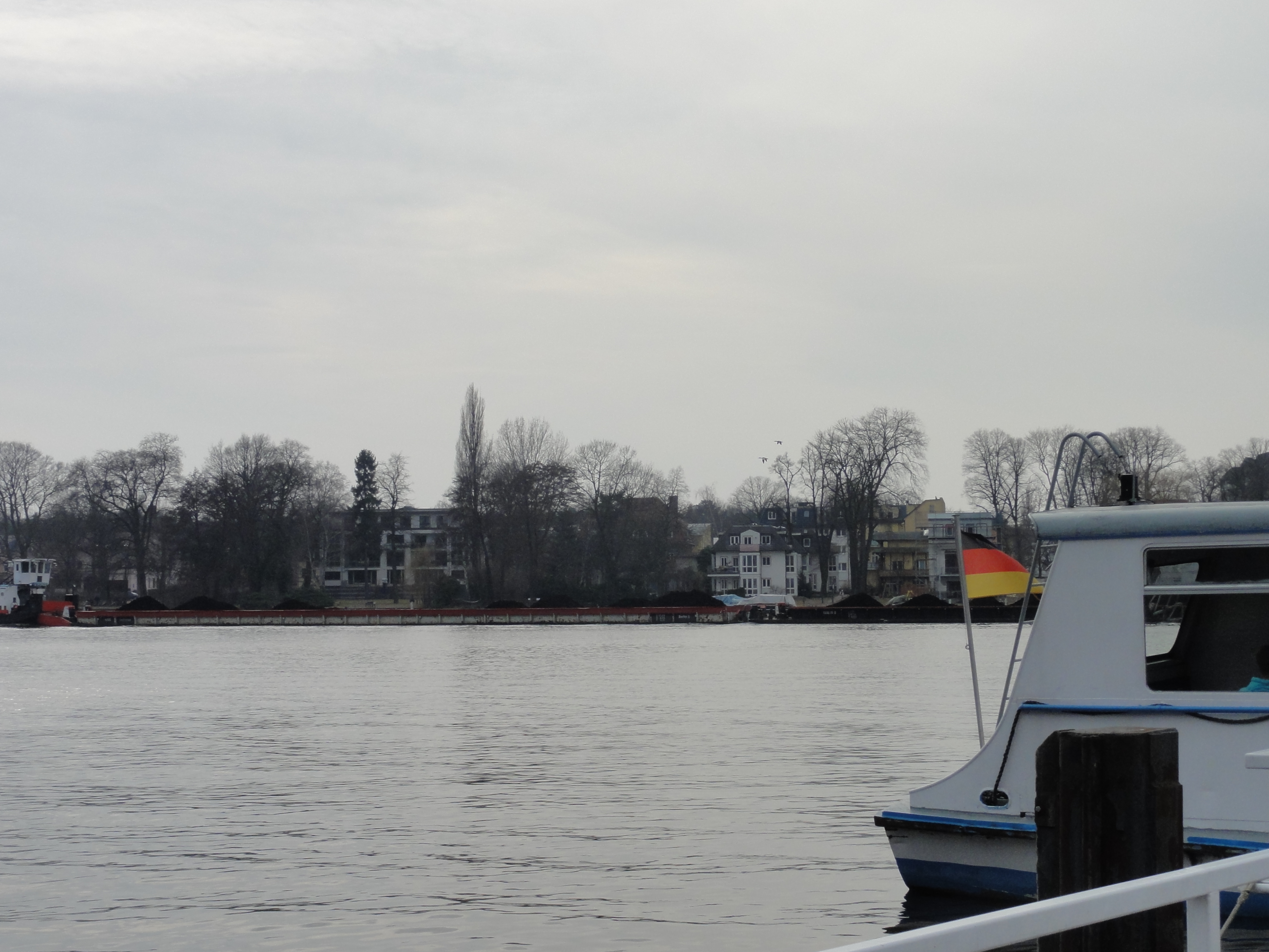
Having arrived at S-Bhf Mahlsdorf, we decided to do a really perverted thing , namely to take the BUS from there to S-Bhf Marzahn, to have a coffee at the EASTGATE. (As a normal citizen you NEVER EVER happen to take this bus route!)
It is very interesting because first you go out of Berlin again, and then through the gorges of HELLERSDORF, through the lovely WUHLETAL and along the huge farming buildings of ALT-MARZAHN.
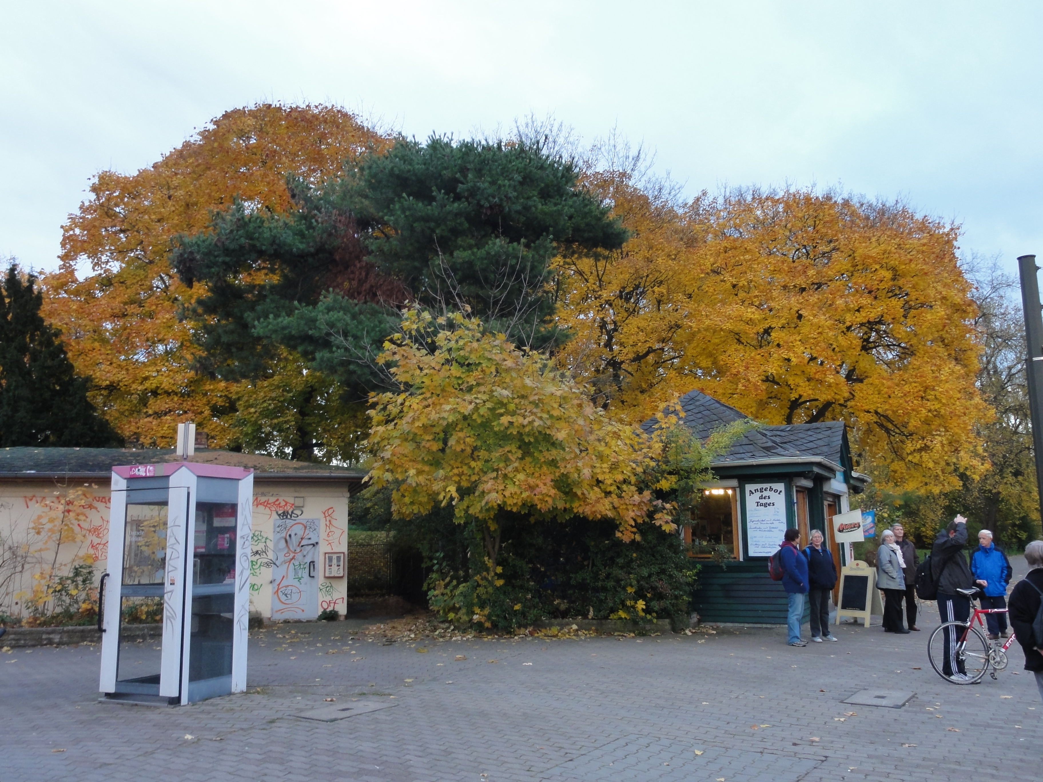
At the east-gate the coffee at "Meyerbeer" is really good, and the waitresses are really friendly. So my friend DORIAN and I sat there having a coffee and watching all the beatiful people from Marzahn (he the girls and I the boys !-)
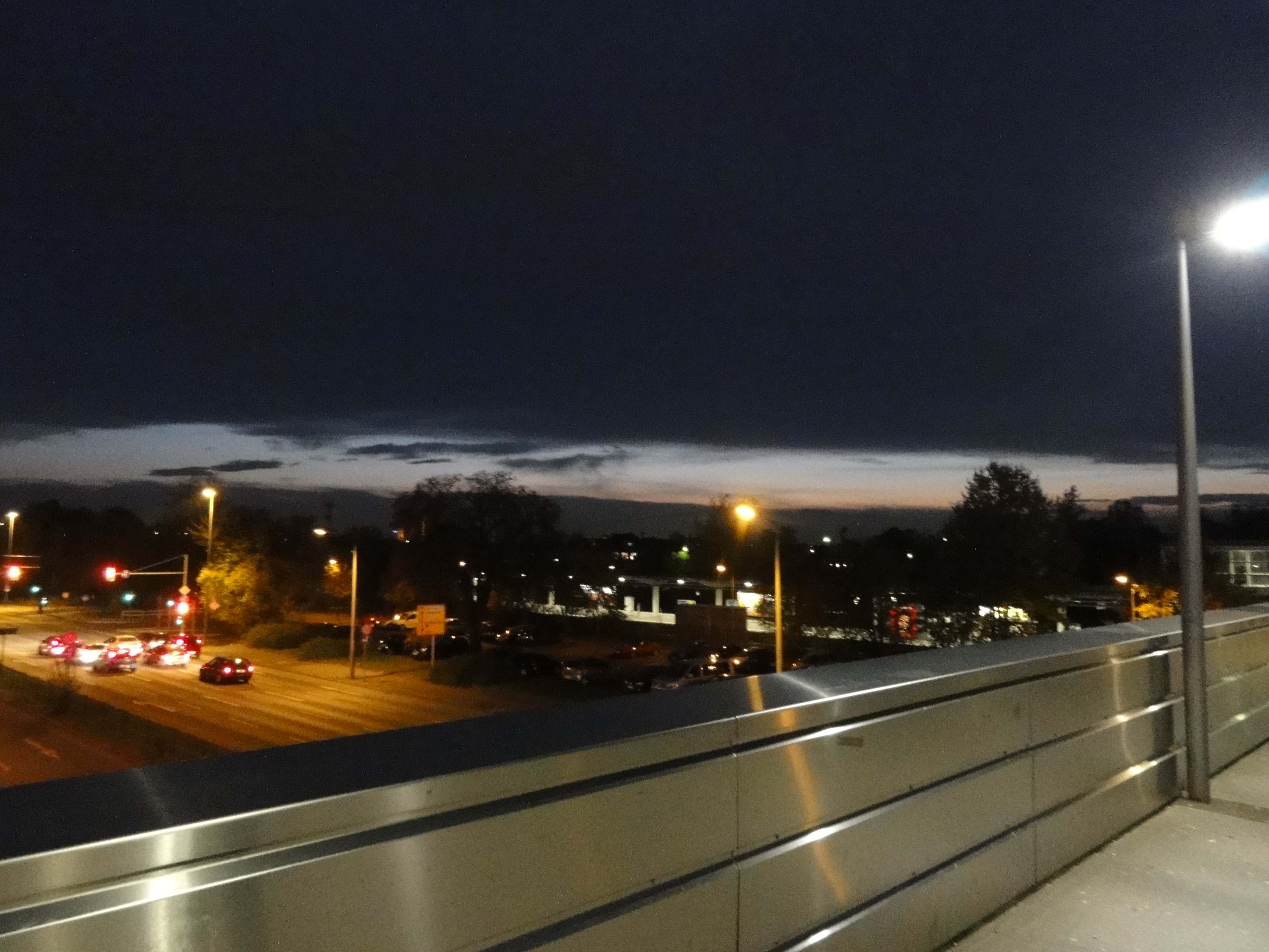
To give you an impression how romantic this can be, here how the sky looked when we finally went home:
Sunset at the Eastgate:
|
|
2010:10:23 18:37:56
---
52 deg 30' 32.38" N, 13 deg 37' 28.72" E
248.75
°
©
ml
|
|
|
2010:10:23 18:38:16
---
52 deg 32' 36.80" N, 13 deg 32' 33.75" E
287.25
°
©
ml
|
|
|
2010:10:23 18:38:35
---
52 deg 32' 37.01" N, 13 deg 32' 31.99" E
229.75
°
©
ml
|
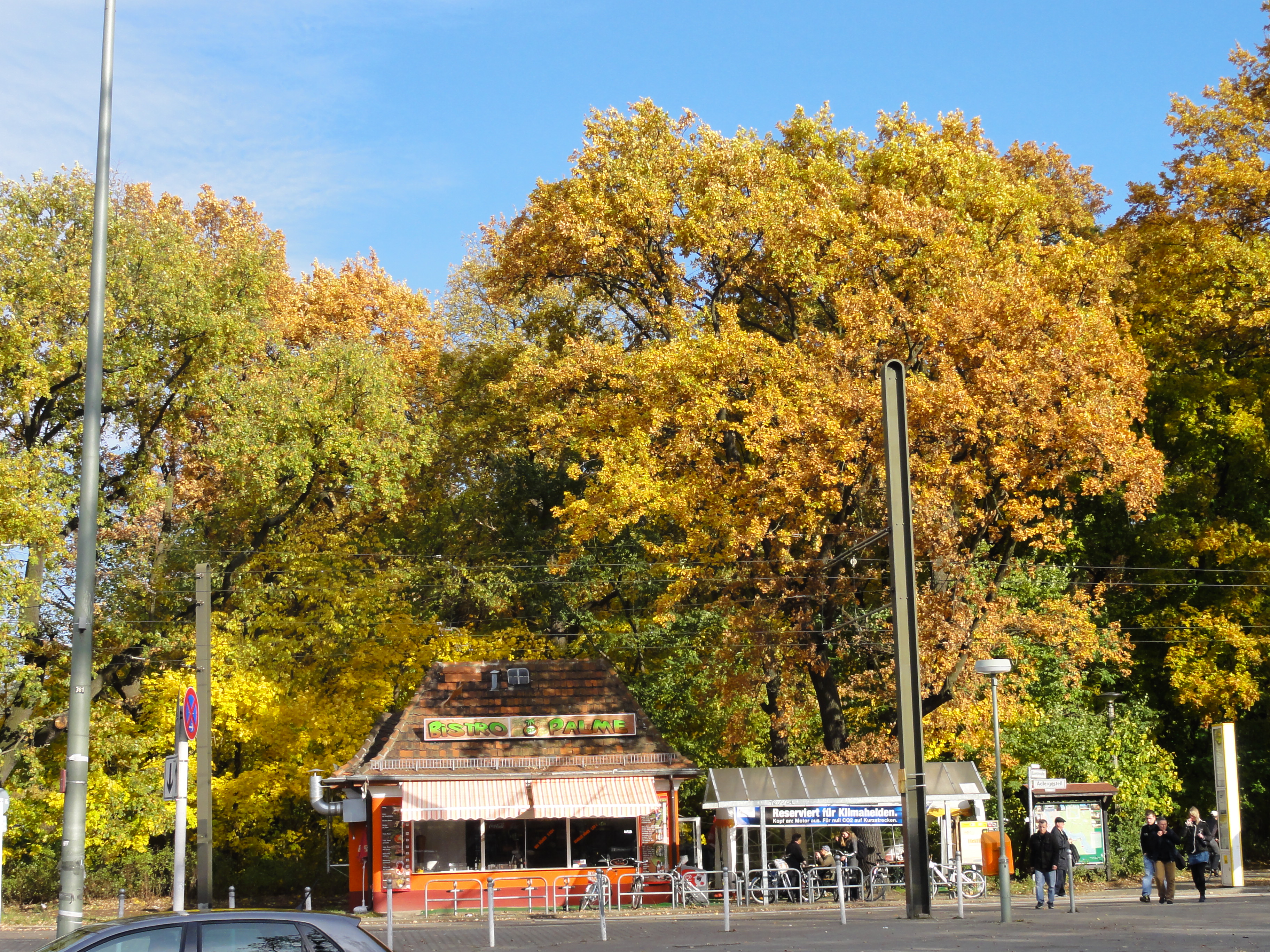
The tour starts at the S-Bahn "Grünau":
|
|
2010:10:30 14:02:47
---
90
°
©
ml
|
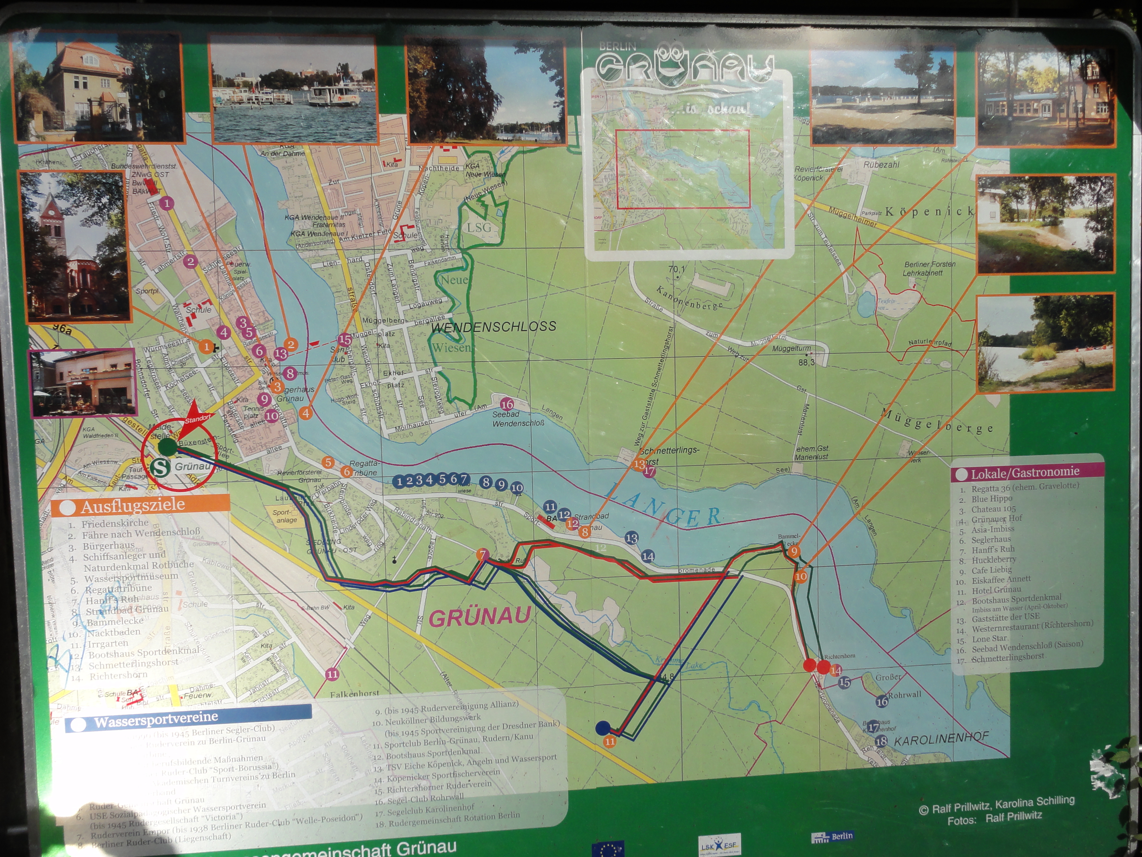
Its some years ago I made this tour: I did it in winter, tow years ago, with snow and ice, and in summer, swimming in the Strandbad. But this WANDERKARTE is new for me:
|
|
2010:10:30 14:08:40
---
52 deg 24' 49.67" N, 13 deg 34' 25.19" E
27
°
©
ml
|
The years before I followed the river "Dahme" and the road, but this time we want to follow the trail through the forest, and meet the road a little bit later, when its more interesting.
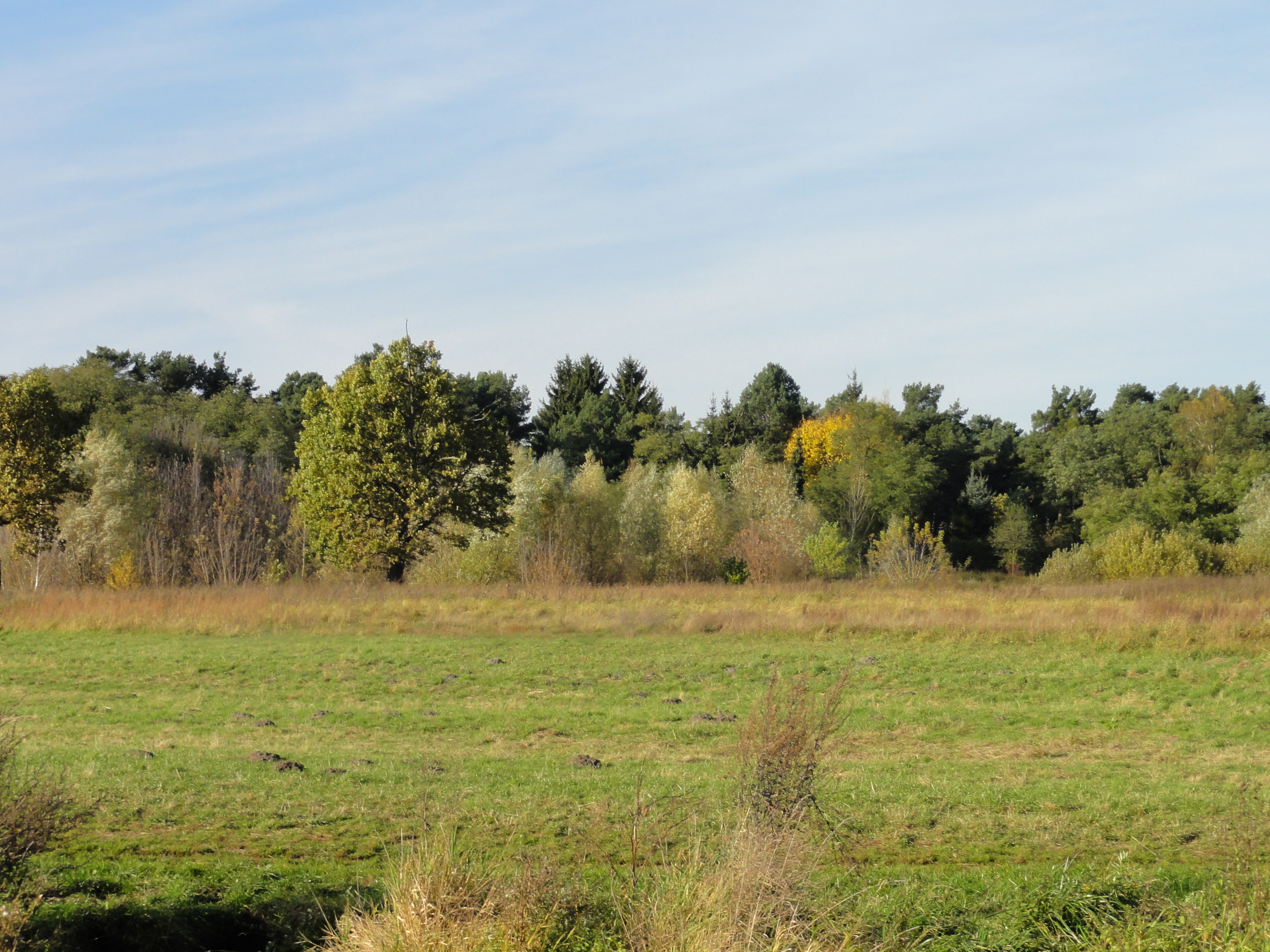
At this time of the year the forests are lovely coloured. (Sorry, I did only take photographs of trees !-)
|
|
2010:10:30 14:09:08
---
52 deg 24' 49.67" N, 13 deg 34' 25.19" E
105.75
°
©
ml
|
|
2010:10:30 14:10:35
---
52 deg 24' 46.92" N, 13 deg 34' 34.65" E
 134.75
°
©
ml
134.75
°
©
ml
|
|
|
2010:10:30 14:11:51
---
52 deg 24' 46.82" N, 13 deg 34' 34.97" E
146.5
°
©
ml
|
|
|
2010:10:30 14:12:31
---
52 deg 24' 45.51" N, 13 deg 34' 41.18" E
45.5
°
©
ml
|
|
|
2010:10:30 14:16:04
---
52 deg 24' 45.15" N, 13 deg 34' 41.93" E
110.5
°
©
ml
|
|
|
2010:10:30 14:16:20
---
52 deg 24' 41.65" N, 13 deg 34' 54.23" E
131.5
°
©
ml
|
|
|
2010:10:30 14:16:49
---
52 deg 24' 41.42" N, 13 deg 34' 56.12" E
78.75
°
©
ml
|
|
|
2010:10:30 14:21:49
---
52 deg 24' 41.28" N, 13 deg 34' 56.40" E
172.25
°
©
ml
|
|
|
2010:10:30 14:22:04
---
52 deg 24' 41.28" N, 13 deg 34' 56.40" E
167.75
°
©
ml
|
|
|
2010:10:30 14:25:04
---
52 deg 24' 34.99" N, 13 deg 35' 6.83" E
142.25
°
©
ml
|
|
|
2010:10:30 14:25:24
---
52 deg 24' 34.99" N, 13 deg 35' 6.83" E
115
°
©
ml
|
|
|
2010:10:30 14:29:47
---
52 deg 24' 34.99" N, 13 deg 35' 6.83" E
116.5
°
©
ml
|
|
|
2010:10:30 14:30:25
---
52 deg 24' 23.23" N, 13 deg 35' 26.83" E
331
°
©
ml
|
|
|
2010:10:30 14:35:00
---
52 deg 24' 23.26" N, 13 deg 35' 28.10" E
86.25
°
©
ml
|
|
|
2010:10:30 14:35:25
---
52 deg 24' 23.26" N, 13 deg 35' 28.10" E
179.75
°
©
ml
|
|
|
2010:10:30 14:40:13
---
52 deg 24' 23.26" N, 13 deg 35' 28.10" E
143.25
°
©
ml
|
|
|
2010:10:30 14:51:38
---
52 deg 24' 15.19" N, 13 deg 36' 9.38" E
127.5
°
©
ml
|
|
|
2010:10:30 14:55:01
---
52 deg 24' 7.89" N, 13 deg 36' 19.95" E
219
°
©
ml
|
|
|
2010:10:30 14:57:11
---
52 deg 24' 8.16" N, 13 deg 36' 21.47" E
193
°
©
ml
|
|
|
2010:10:30 14:57:25
---
52 deg 24' 8.22" N, 13 deg 36' 21.01" E
63.5
°
©
ml
|
|
|
2010:10:30 15:02:04
---
52 deg 24' 8.19" N, 13 deg 36' 21.01" E
139.75
°
©
ml
|
|
|
2010:10:30 15:06:04
---
52 deg 24' 2.55" N, 13 deg 36' 37.21" E
312.5
°
©
ml
|
|
|
2010:10:30 15:07:36
---
52 deg 24' 2.55" N, 13 deg 36' 37.21" E
38.25
°
©
ml
|
|
|
2010:10:30 15:09:56
---
52 deg 24' 12.64" N, 13 deg 36' 51.00" E
33.5
°
©
ml
|
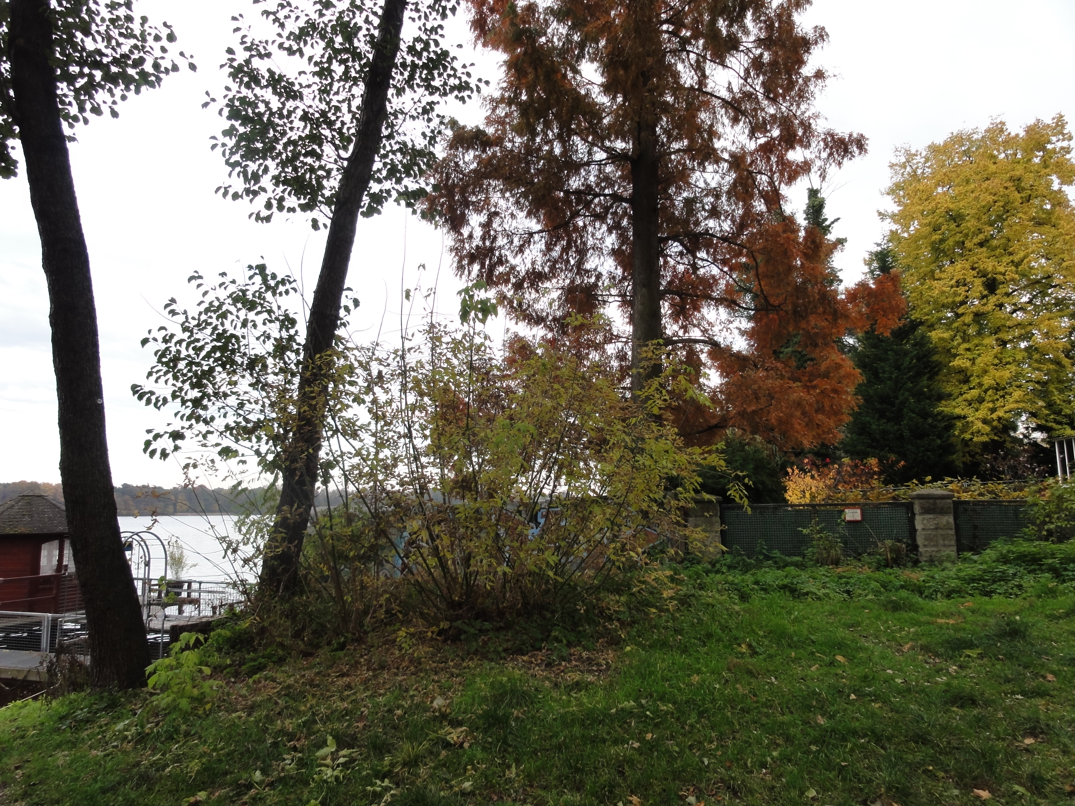
We lost totally the way, but we did not loose the direction! So we finally got to the waterside:
|
|
2010:10:30 15:22:19
---
52 deg 24' 26.78" N, 13 deg 37' 20.78" E
36.75
°
©
ml
|
|
|
2010:10:30 15:22:32
---
52 deg 24' 27.16" N, 13 deg 37' 21.08" E
343.75
°
©
ml
|
|
|
2010:10:30 15:23:02
---
52 deg 24' 26.96" N, 13 deg 37' 21.58" E
320.75
°
©
ml
|
|
|
2010:10:30 15:23:42
---
52 deg 24' 27.18" N, 13 deg 37' 21.67" E
346
°
©
ml
|
|
|
2010:10:30 15:29:52
---
52 deg 24' 20.33" N, 13 deg 37' 25.30" E
203.25
°
©
ml
|
Now we follow the road and reach KAROLINENHOF:
|
|
2010:10:30 15:42:31
---
52 deg 23' 56.80" N, 13 deg 37' 35.54" E
171.75
°
©
ml
|
|
|
2010:10:30 15:50:36
---
52 deg 23' 45.77" N, 13 deg 37' 51.41" E
188
°
©
ml
|
|
|
2010:10:30 15:51:03
---
52 deg 23' 46.60" N, 13 deg 37' 50.50" E
276.75
°
©
ml
|
|
|
2010:10:30 15:49:16
---
52 deg 23' 47.38" N, 13 deg 37' 51.28" E
183.25
°
©
ml
|
|
|
2010:10:30 15:49:41
---
52 deg 23' 46.96" N, 13 deg 37' 52.07" E
35.5
°
©
ml
|
|
|
2010:10:30 15:51:53
---
52 deg 23' 46.70" N, 13 deg 37' 50.54" E
131
°
©
ml
|
Regretably, you cannot follow the waterside, but the left-most street ("Rohrwallallee") is also very interesting: When you reach its end, and the "Krimnitzer Weg", you turn to the right and can soon (at least) enter the forest again, on the left.
|
|
2010:10:30 16:11:08
---
52 deg 23' 36.74" N, 13 deg 38' 24.76" E
163.75
°
©
ml
|

|
|
2010:10:30 16:32:07
---
52 deg 23' 36.41" N, 13 deg 38' 25.05" E
140
°
©
ml
|
|
|
2010:10:30 16:34:01
---
52 deg 22' 55.19" N, 13 deg 38' 40.14" E
102.75
°
©
ml
|
The street "Seeblick" is really a beautiful "lake view":
|
|
2010:10:30 16:35:15
---
52 deg 22' 50.80" N, 13 deg 38' 47.48" E
27.5
°
©
ml
|
|
|
2010:10:30 16:35:34
---
52 deg 22' 51.17" N, 13 deg 38' 46.70" E
357.5
°
©
ml
|
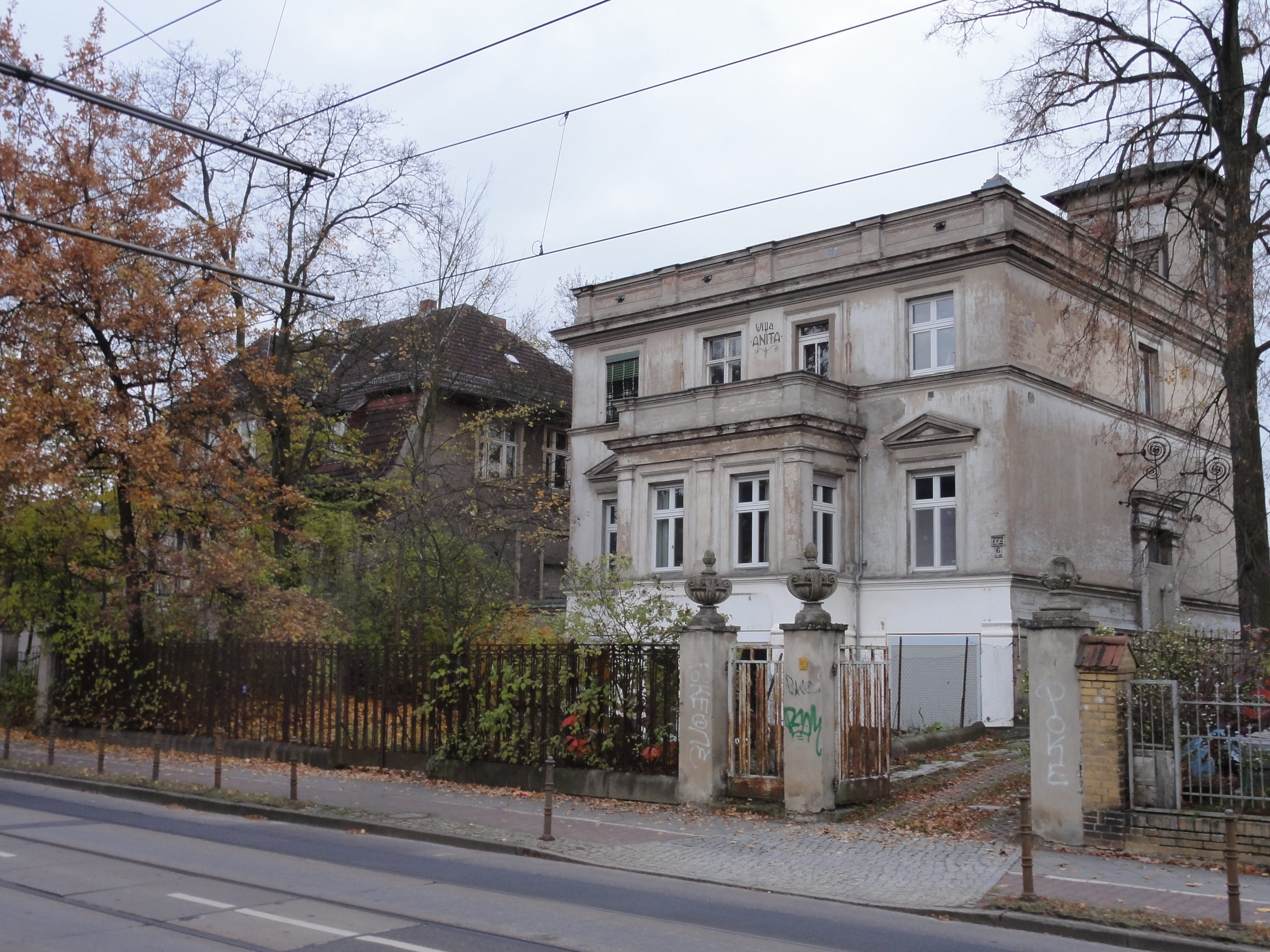
There are still some houses on sale, but remember, this is the end of the civilized world!
E.g. "Villa Anita":
|
|
2010:10:30 16:43:40
---
52 deg 22' 37.86" N, 13 deg 38' 49.69" E
201.25
°
©
ml
|
|
|
2010:10:30 16:43:56
---
52 deg 22' 37.98" N, 13 deg 38' 49.28" E
219.25
°
©
ml
|
|
|
2010:10:30 16:44:09
---
52 deg 22' 37.97" N, 13 deg 38' 49.69" E
70.25
°
©
ml
|
And here you see what you still will have to invest, by this nice "before and after" comparison:
|
|
2010:10:30 17:00:59
---
52 deg 22' 29.75" N, 13 deg 39' 0.17" E
135.5
°
©
ml
|
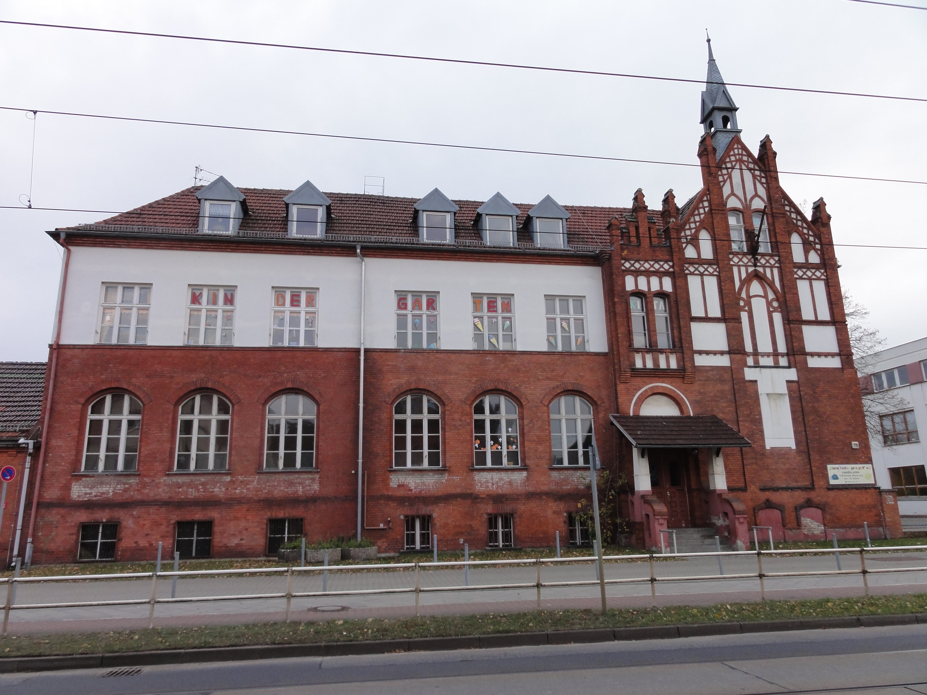
But most houses are niceley renovated, eg. this is a KITA !!! (Presumely the old village school)
|
|
2010:10:30 16:46:15
---
52 deg 22' 34.78" N, 13 deg 38' 54.03" E
239
°
©
ml
|
And this is the village church on the (tidy part of the) Dorfanger:
|
|
2010:10:30 16:48:04
---
52 deg 22' 33.29" N, 13 deg 38' 59.84" E
190.25
°
©
ml
|
|
|
2010:10:30 17:01:32
---
52 deg 22' 30.70" N, 13 deg 38' 58.99" E
13.25
°
©
ml
|
...and this is the other half of the Dorfanger, nature left to itself:
|
|
2010:10:30 16:59:36
---
52 deg 22' 30.44" N, 13 deg 39' 4.02" E
127.25
°
©
ml
|
And this, finally, is the end of the world (not the end of Berlin, but nearly !-)
|
|
2010:10:30 16:51:39
---
52 deg 22' 29.46" N, 13 deg 39' 13.06" E
63
°
©
ml
|
|
|
2010:10:30 16:52:12
---
52 deg 22' 29.98" N, 13 deg 39' 12.83" E
333.25
°
©
ml
|
|
|
2010:10:30 16:52:48
---
52 deg 22' 29.57" N, 13 deg 39' 11.91" E
228.25
°
©
ml
|
Back we took the TRAM, and the route to Grünau S-Bahnhof had once
been elected the "most beautiful tram route" in Berlin.
(We prefer the Schöneiche-Rüdersdorf Bahn, but this is most parts in
Brandenburg !-)
|
|
|
2010:10:30 17:01:32
---
52 deg 22' 30.70" N, 13 deg 38' 58.99" E
13.25
°
©
ml
|
|
|
2010:10:30 17:06:01
---
52 deg 22' 32.71" N, 13 deg 38' 57.64" E
145.25
°
©
ml
|
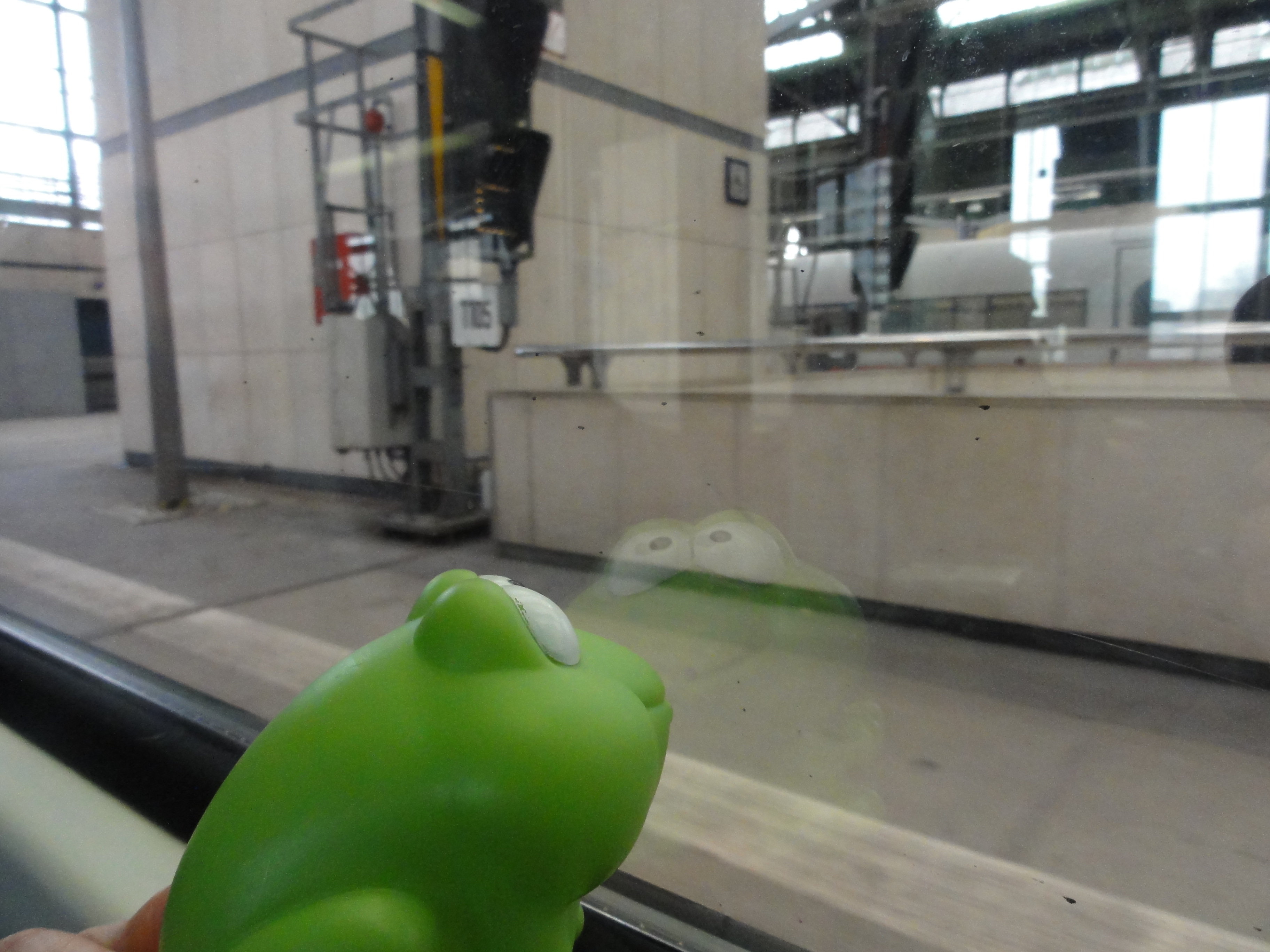
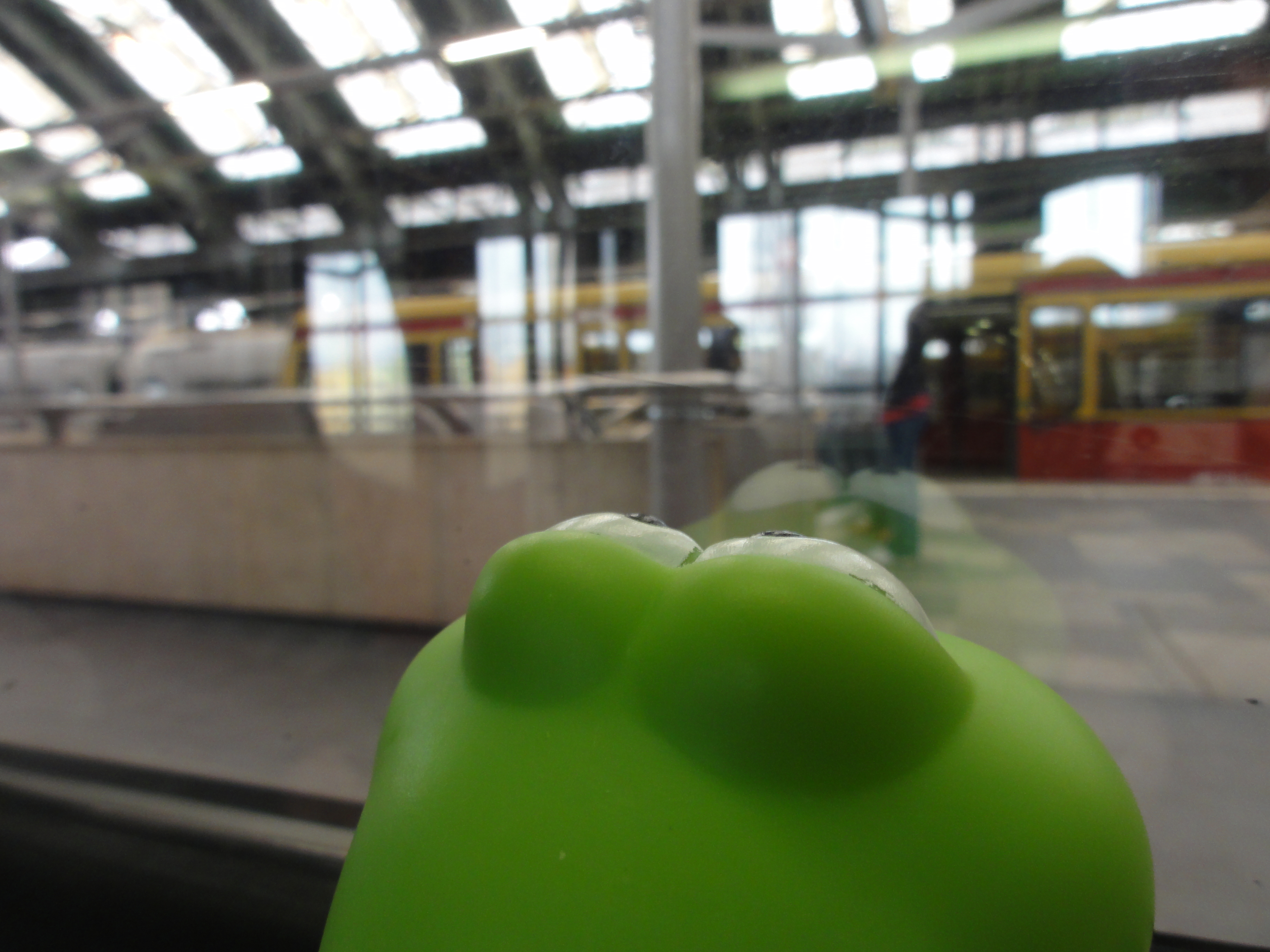
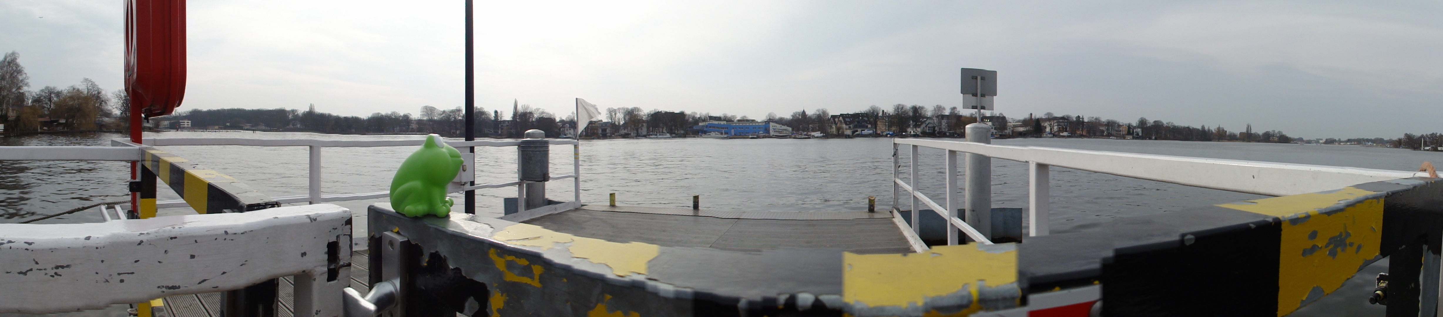
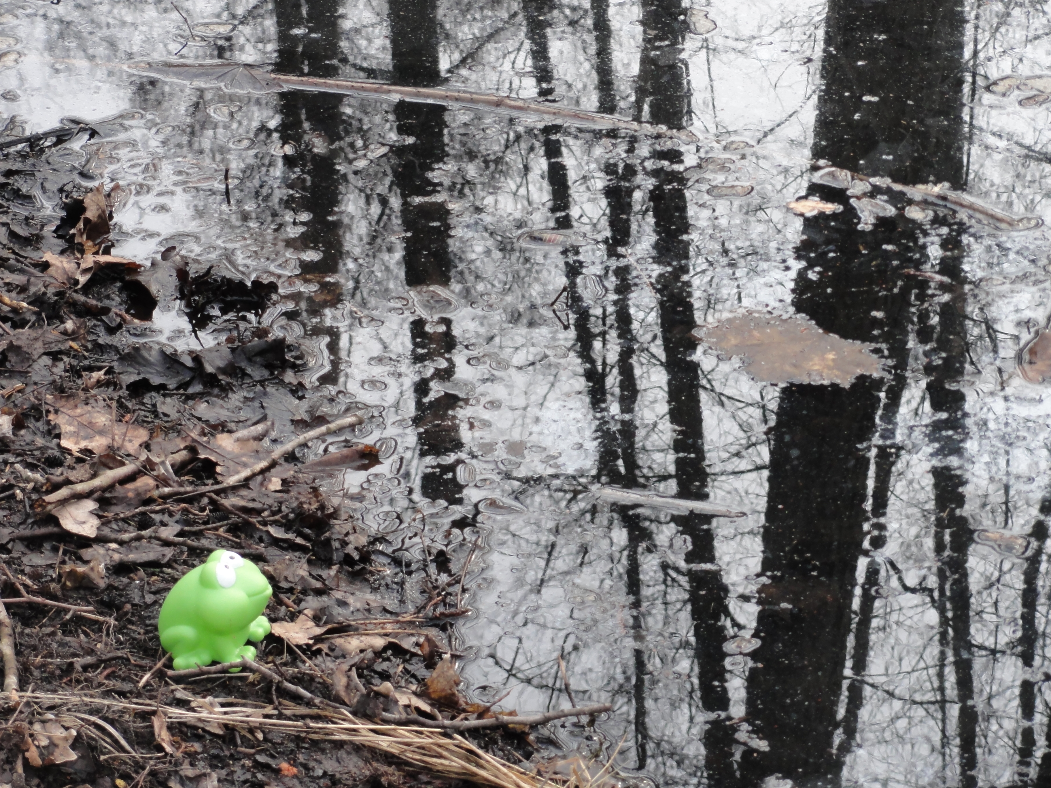
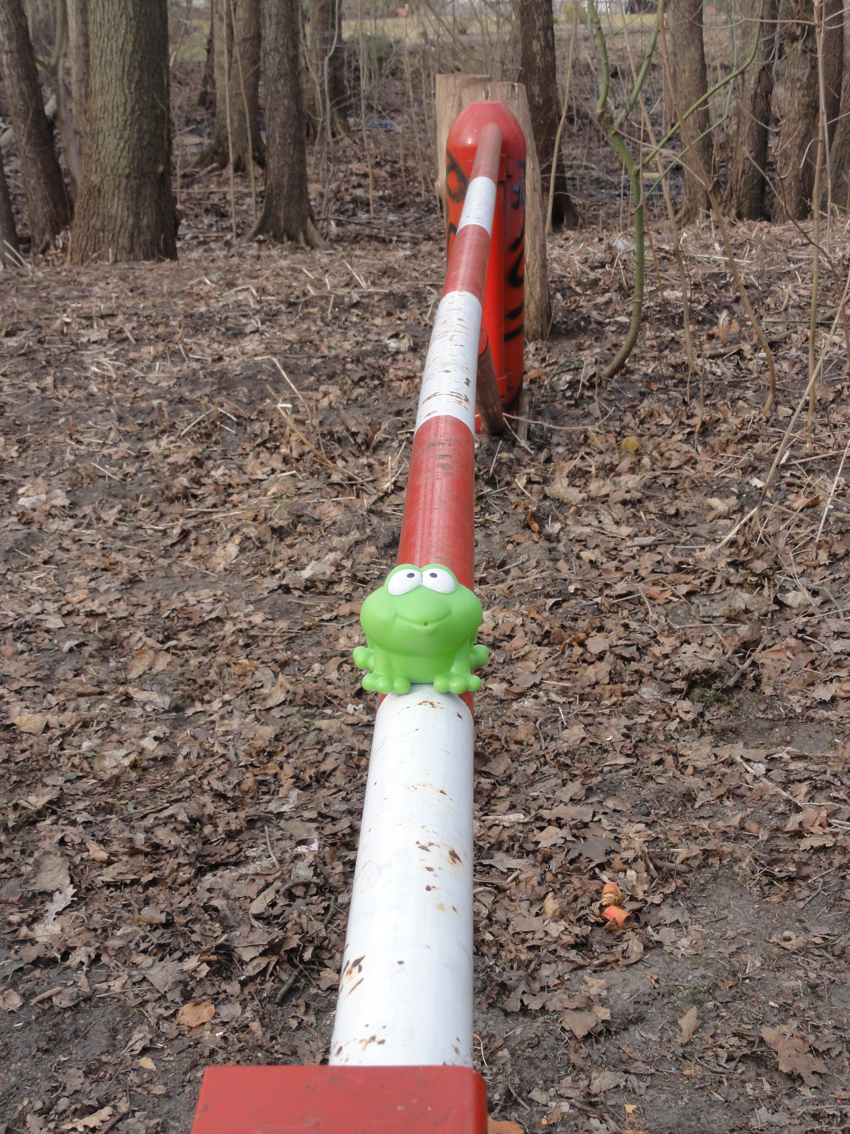
This is a nice tour even for froggies, so he joined us:
|
|
2011:03:13 13:37:13
---
164.75
°
©
ml
|
|
|
2011:03:13 13:36:52
---
191
°
©
ml
|
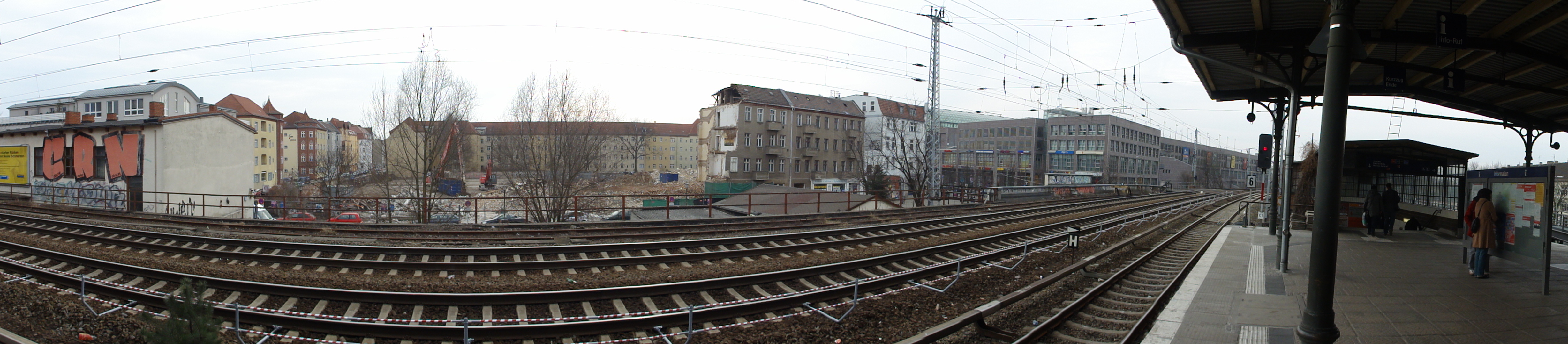
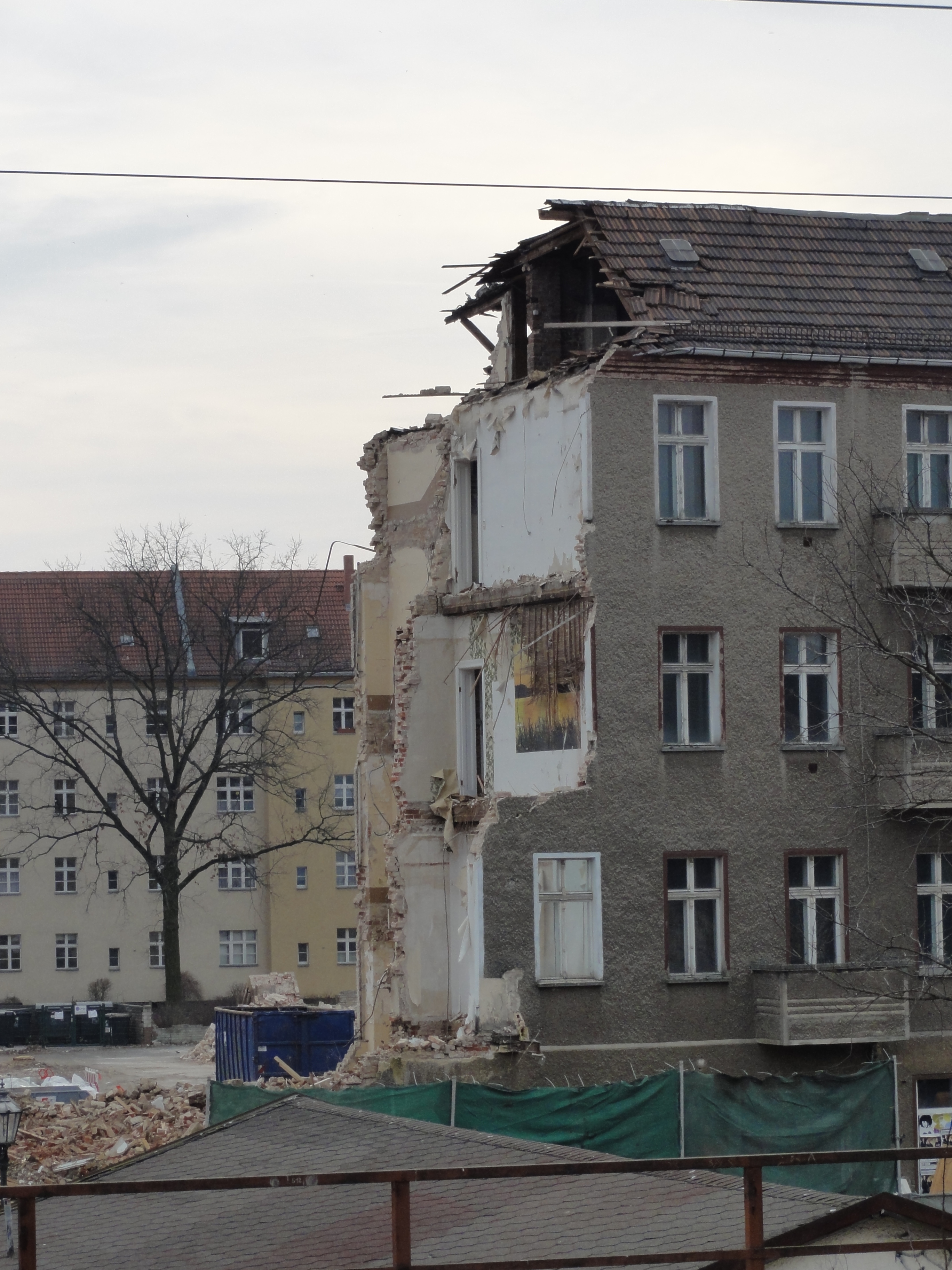
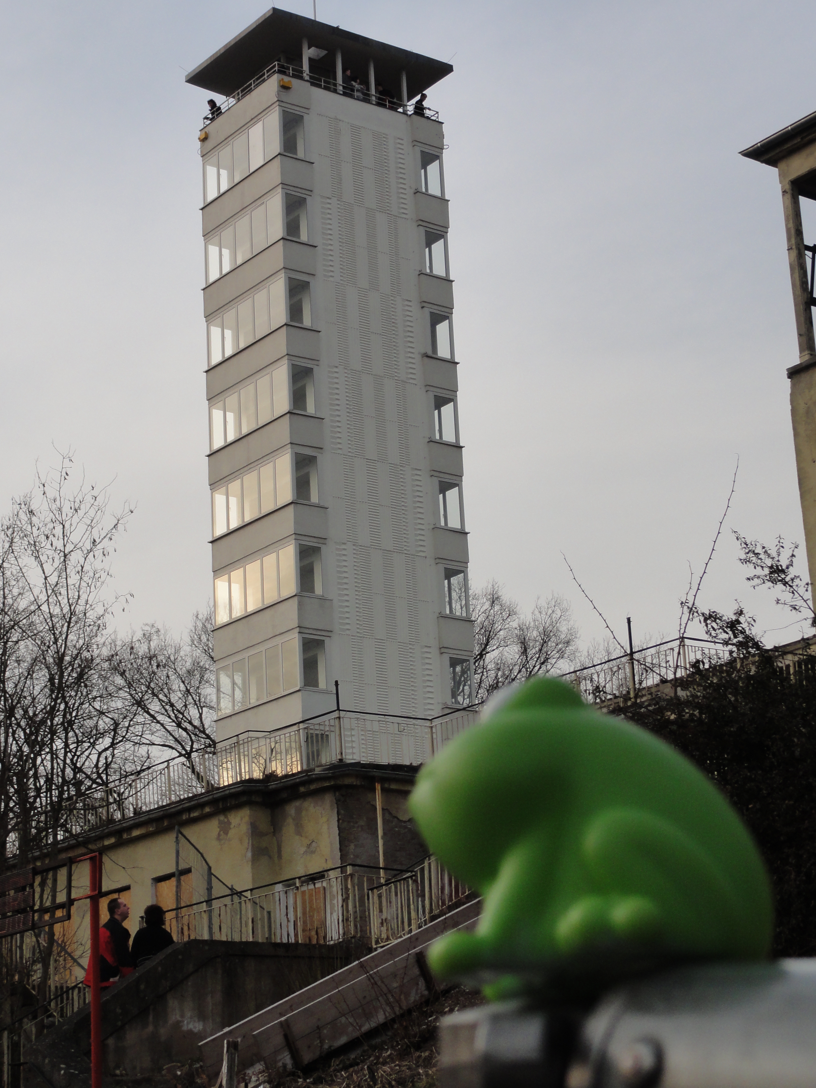
At Köpenick Station there is a big BAUL_CKE. (They knew that we came, and made it only for my photo series !-) Mor of these you find on the corresponding BAUL_CKEn page.
|
|
2011:03:13 13:56:07
---
216
°
©
ml
|
|
|
2011:03:13 13:57:57
---
215.25
°
©
ml
|
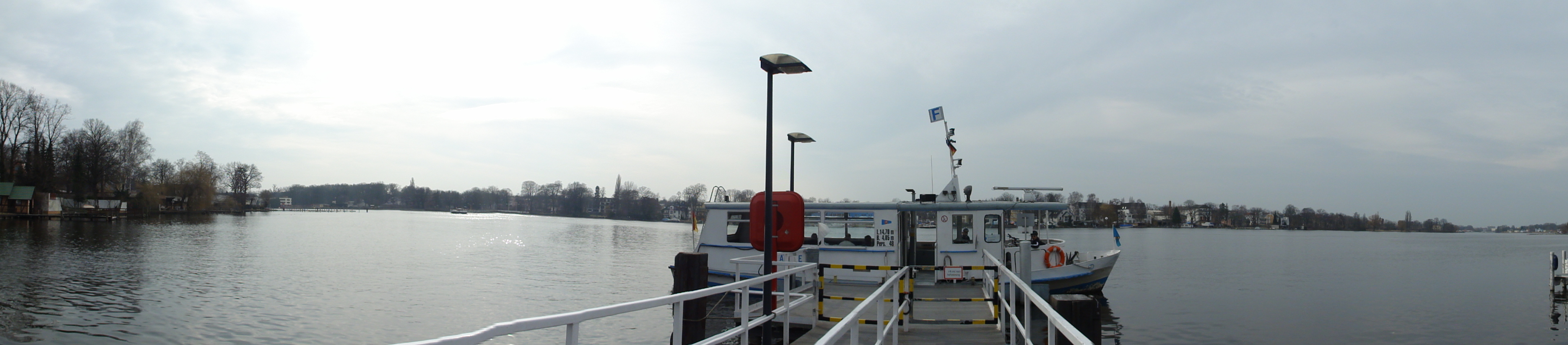
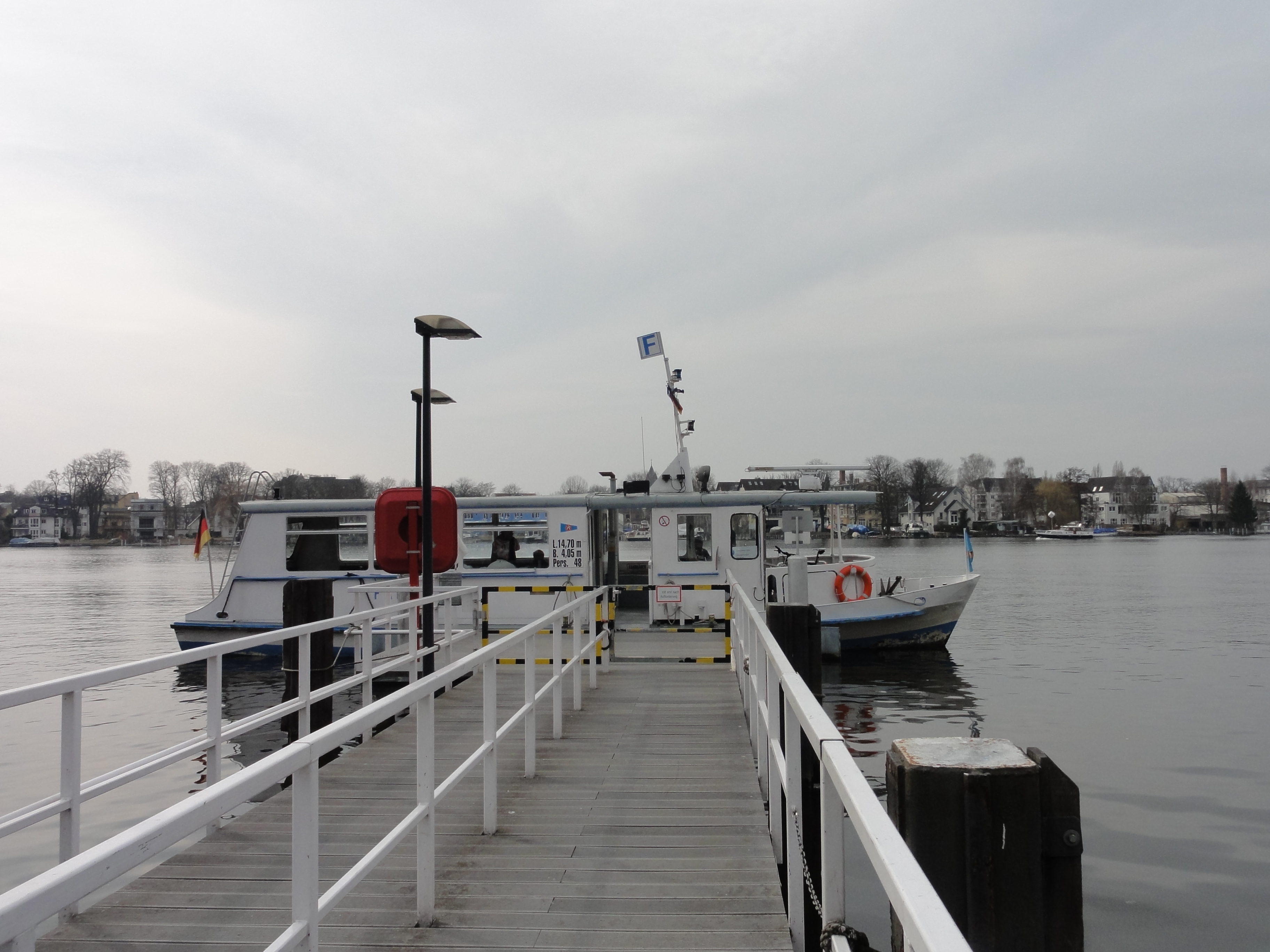
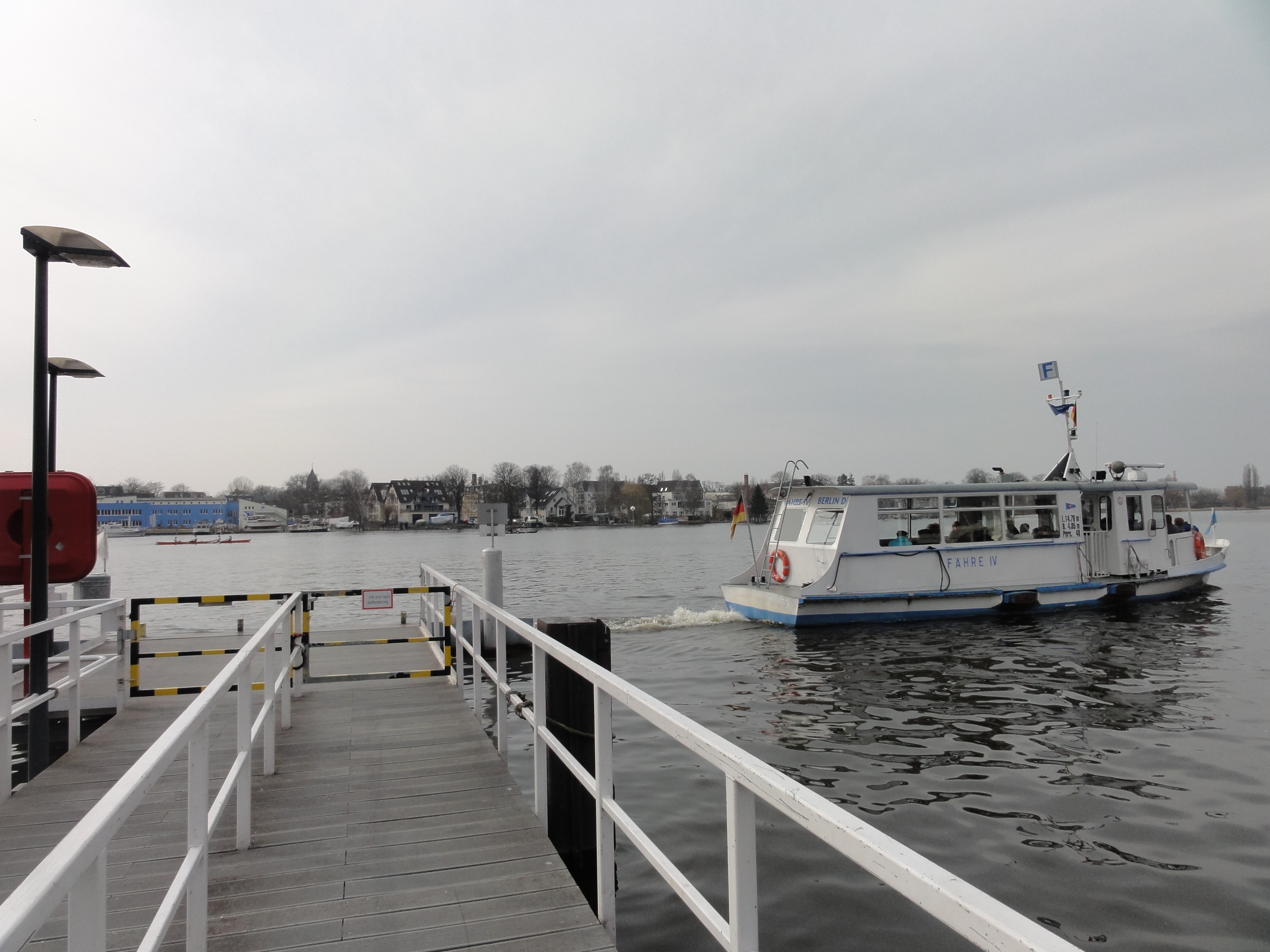
To the NORTH of the station, there is the TRAM stop. We took the
line XXX to Wendenschloss, but hopped off one stop earlier
at, Müggelbergallee.
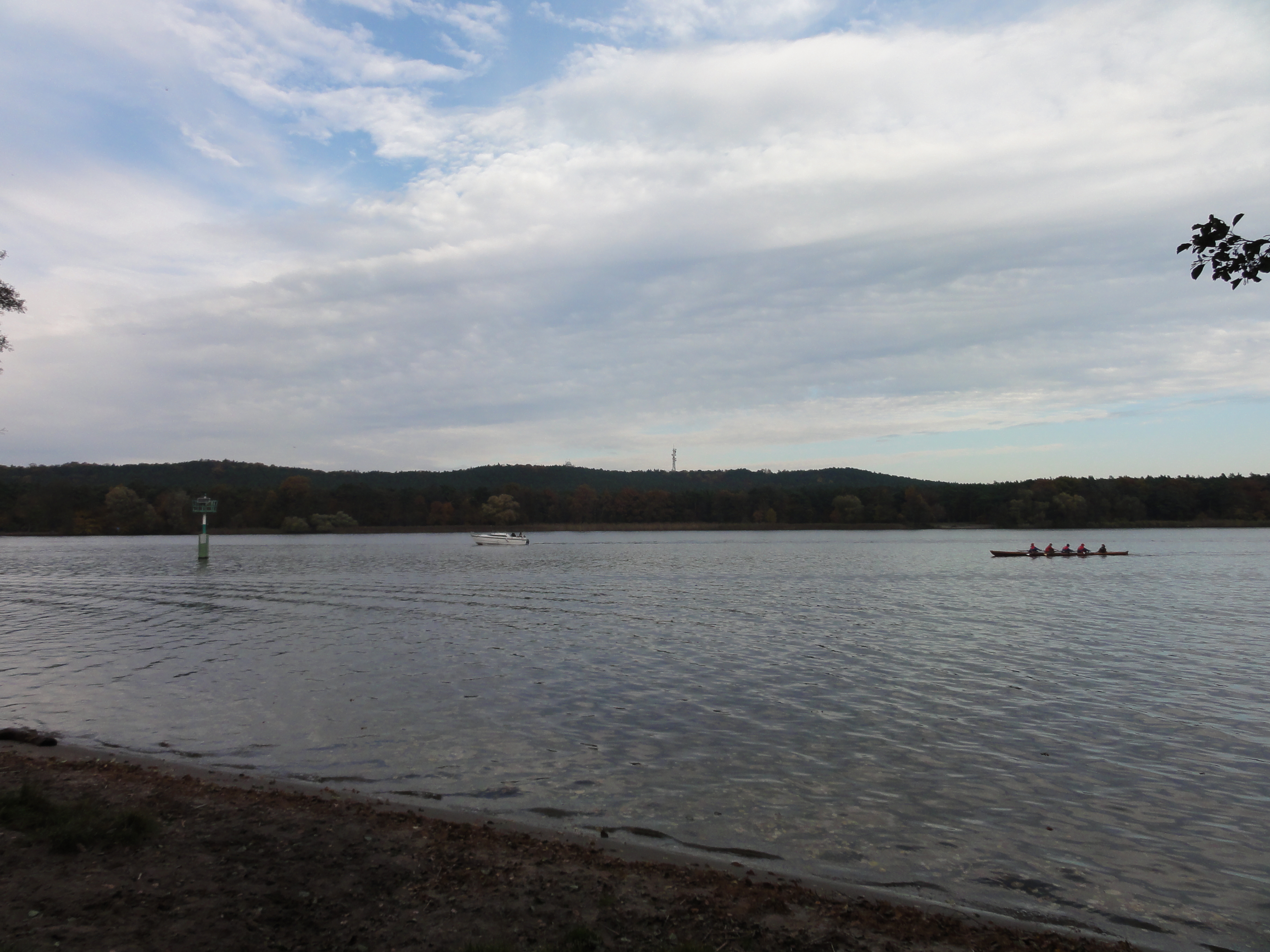
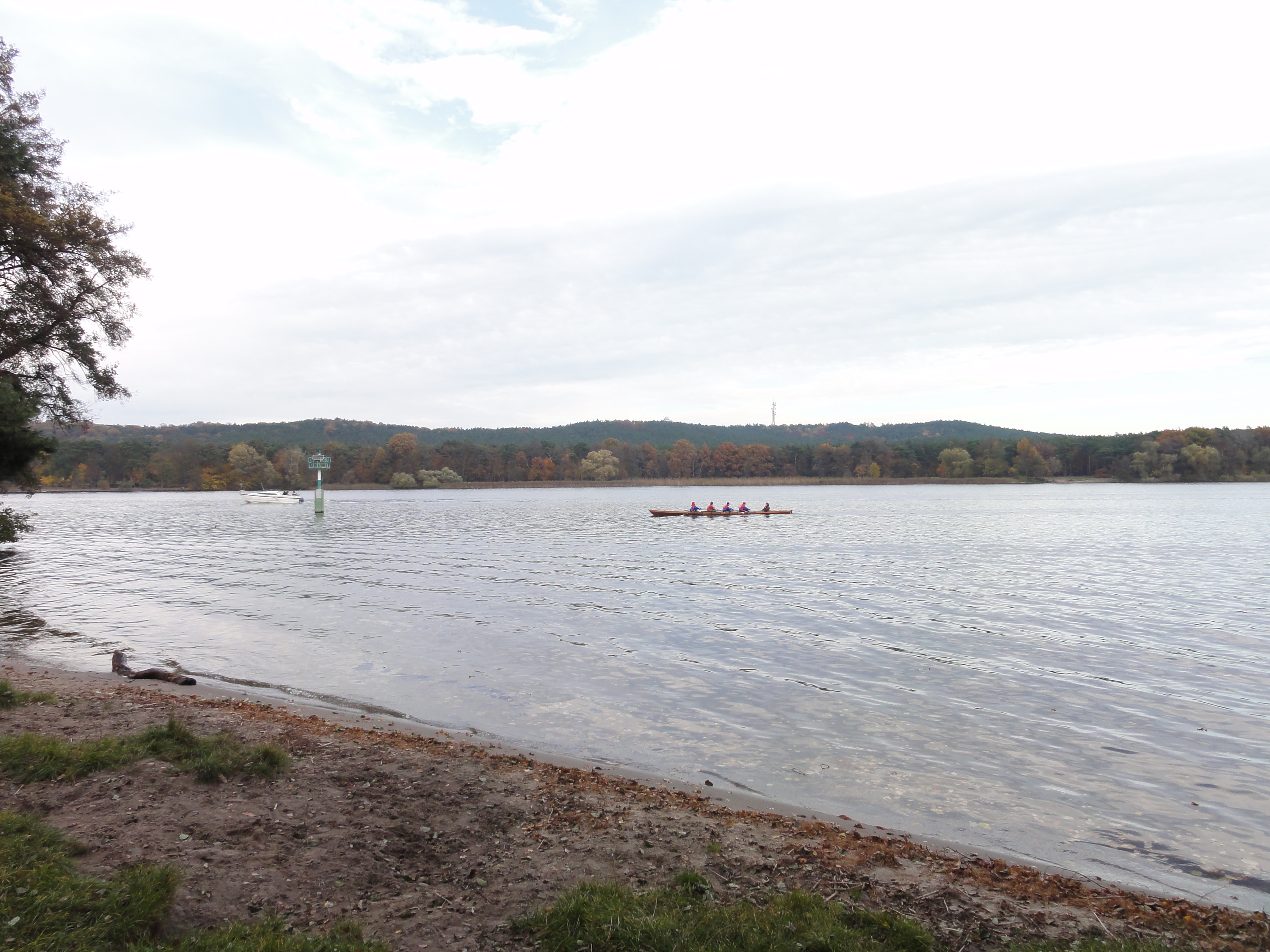
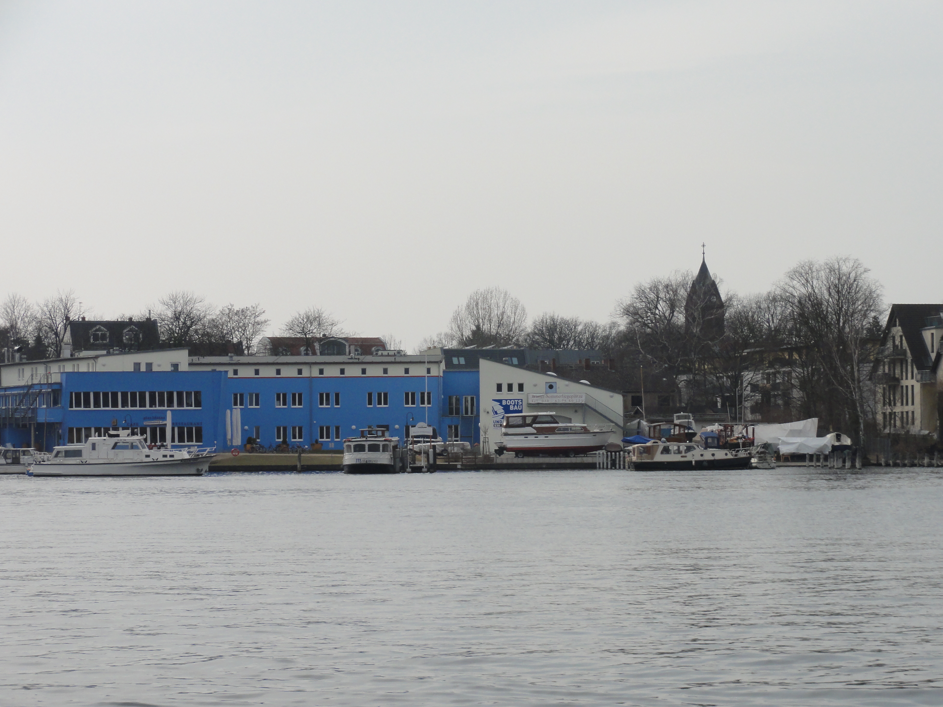
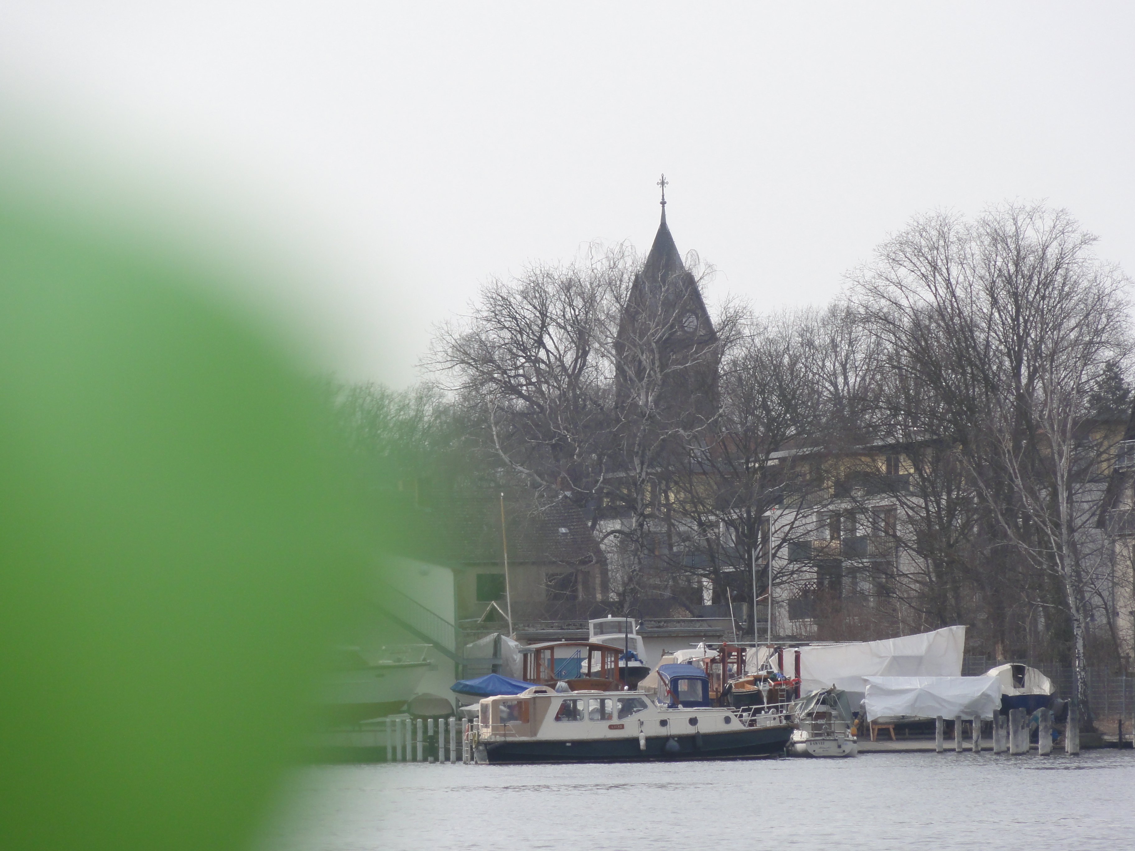
First we tunred west, to the waterside, and saw the ferry to
and the tribunes of Grünau:
|
|
2011:03:13 14:27:16
---
52 deg 25' 6.11" N, 13 deg 35' 10.77" E
209.25
°
©
ml
|
|
|
2011:03:13 14:37:16
---
52 deg 25' 6.59" N, 13 deg 35' 11.67" E
172.25
°
©
ml
|
|
|
2011:03:13 14:25:55
---
327.25
°
©
ml
|
|
|
2011:03:13 14:26:10
---
52 deg 25' 6.05" N, 13 deg 35' 10.68" E
34.75
°
©
ml
|
|
|
2011:03:13 14:30:09
---
52 deg 25' 6.71" N, 13 deg 35' 12.52" E
246
°
©
ml
|
|
|
2011:03:13 14:35:18
---
52 deg 25' 6.65" N, 13 deg 35' 12.20" E
264
°
©
ml
|
|
|
2011:03:13 14:35:48
---
52 deg 25' 6.50" N, 13 deg 35' 11.85" E
230.25
°
©
ml
|
|
|
2011:03:13 14:38:36
---
52 deg 25' 6.60" N, 13 deg 35' 12.05" E
187.25
°
©
ml
|
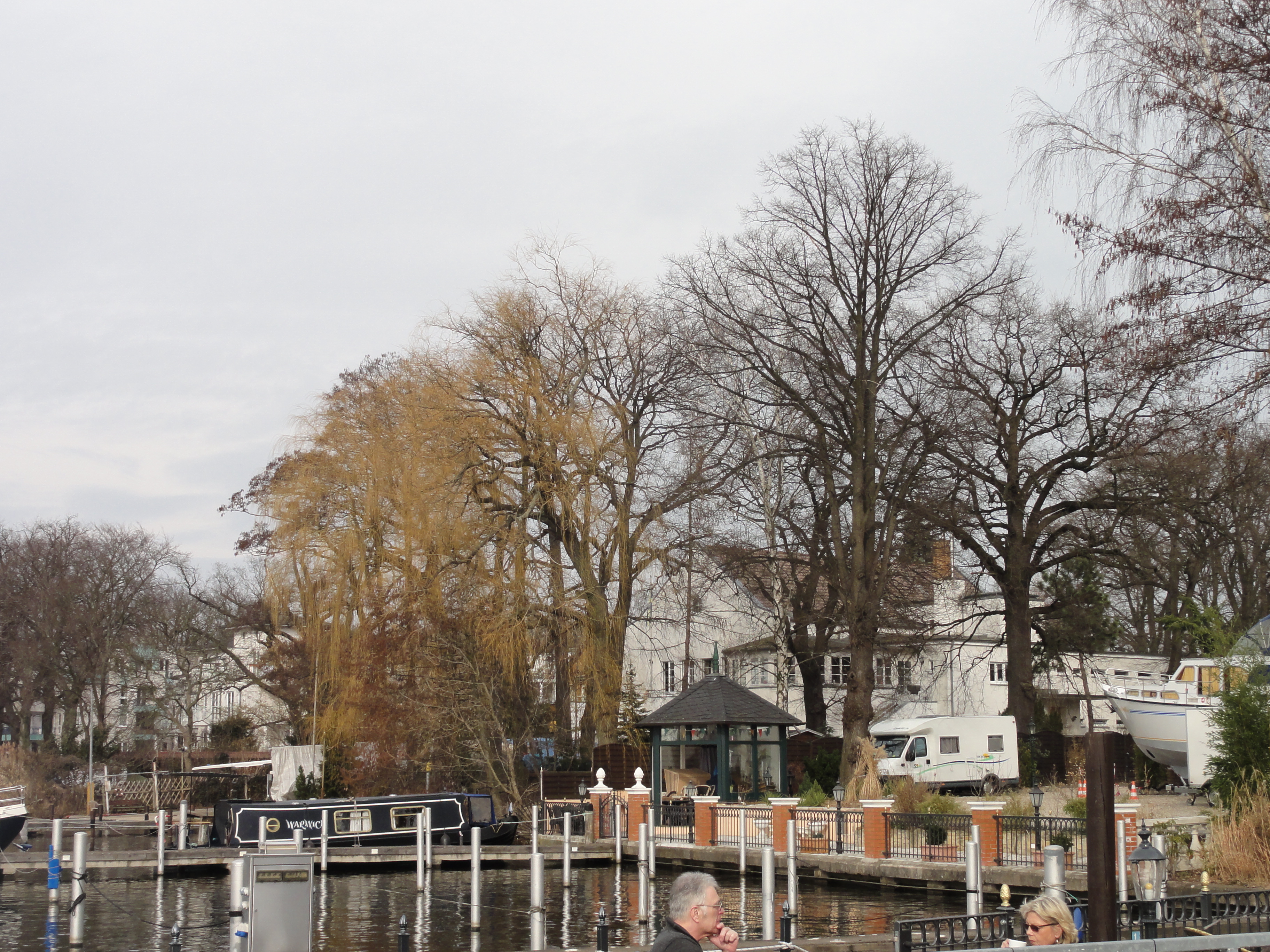
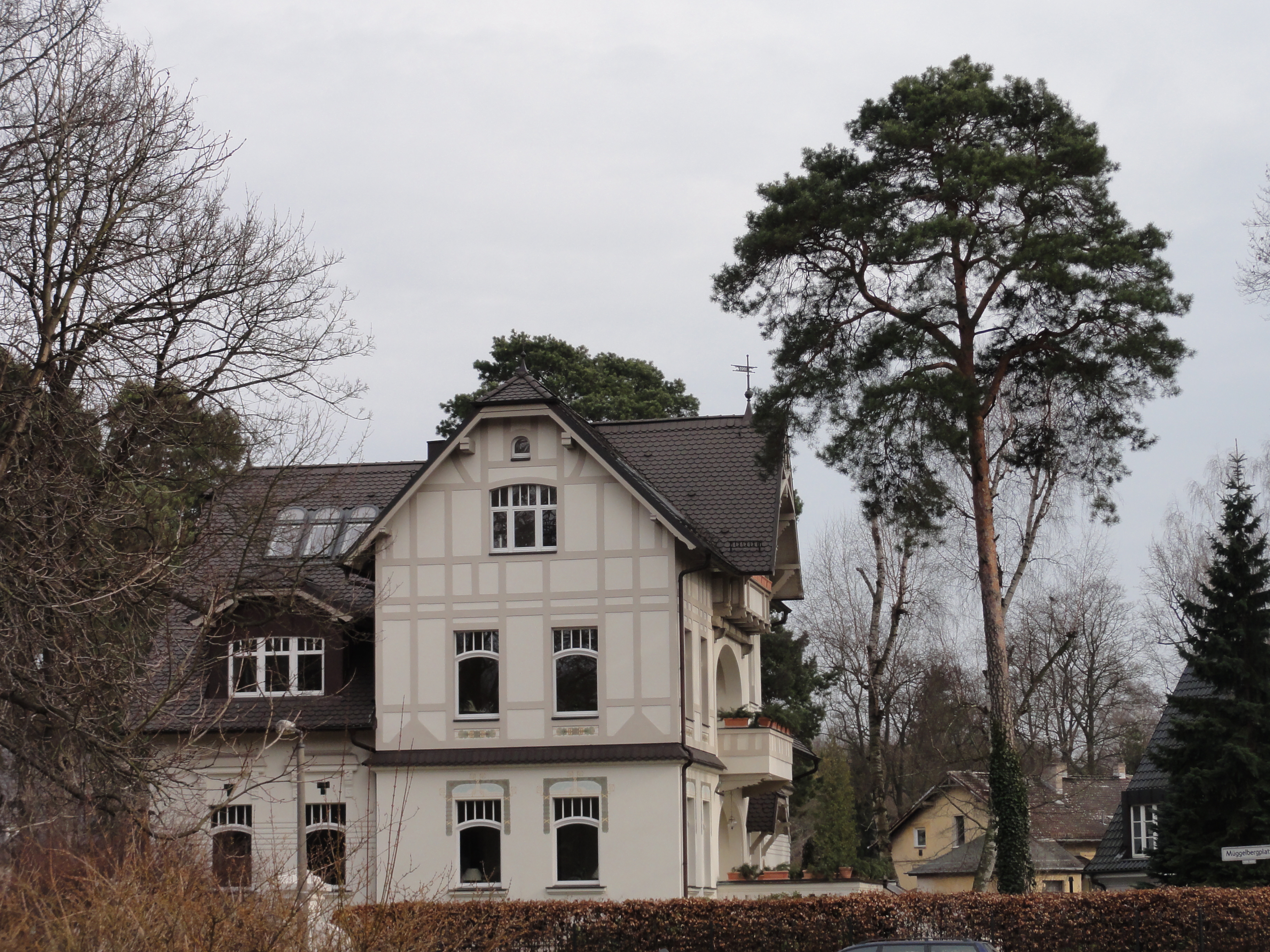
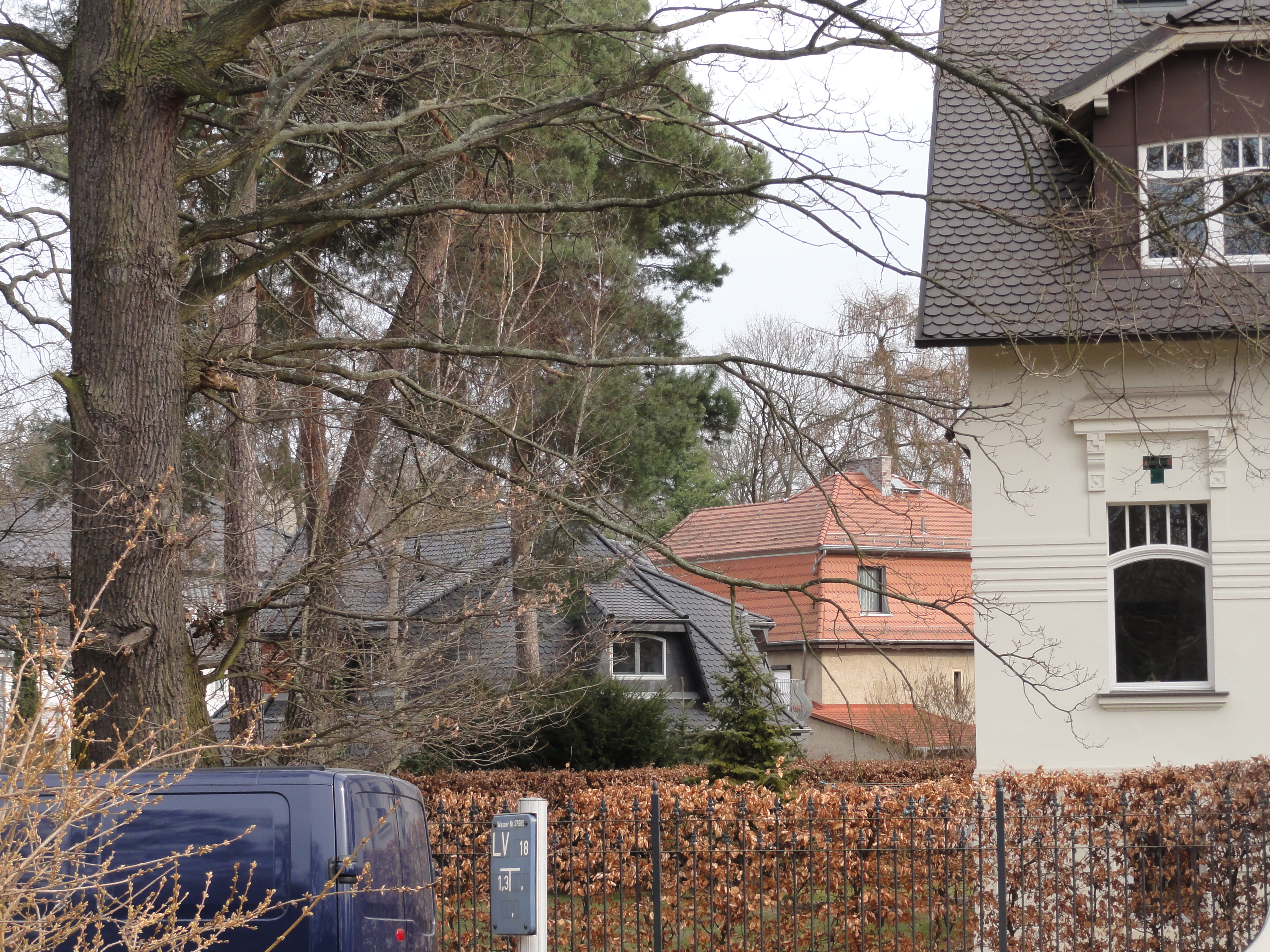
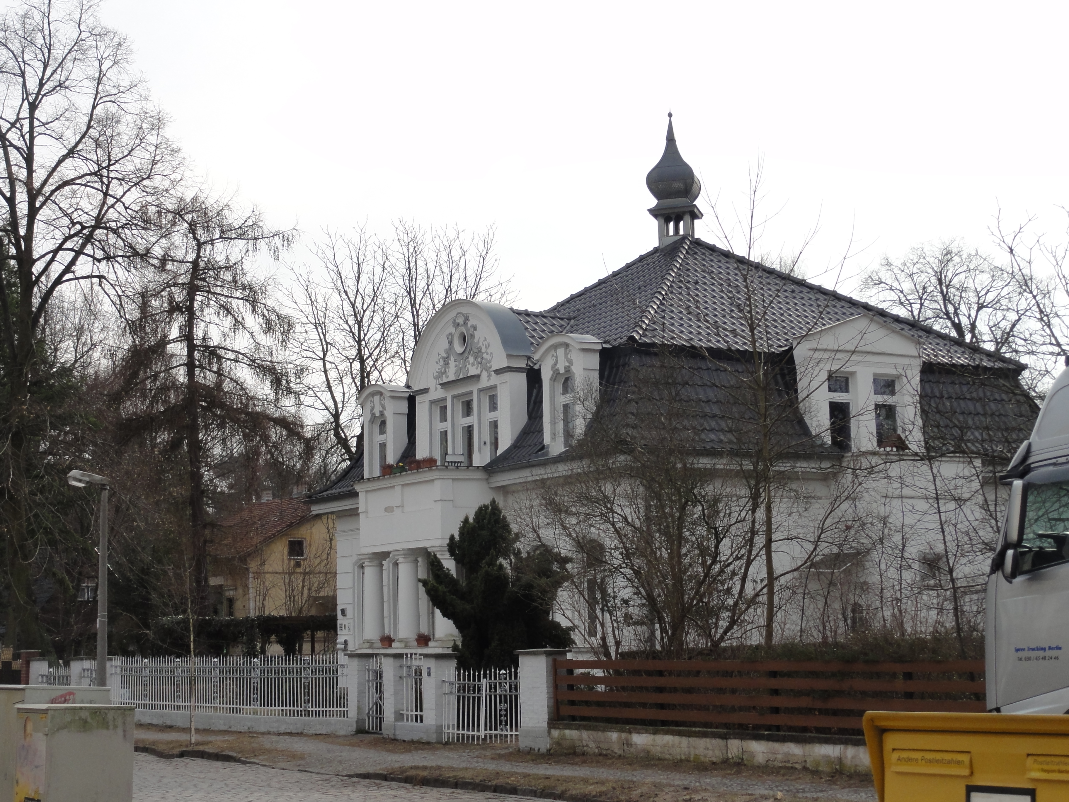
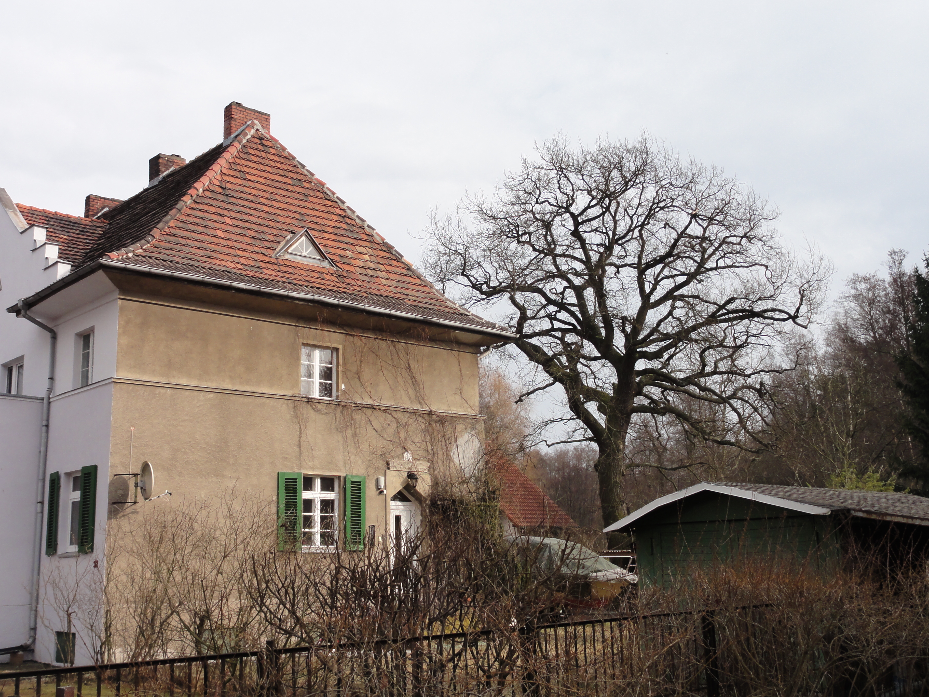
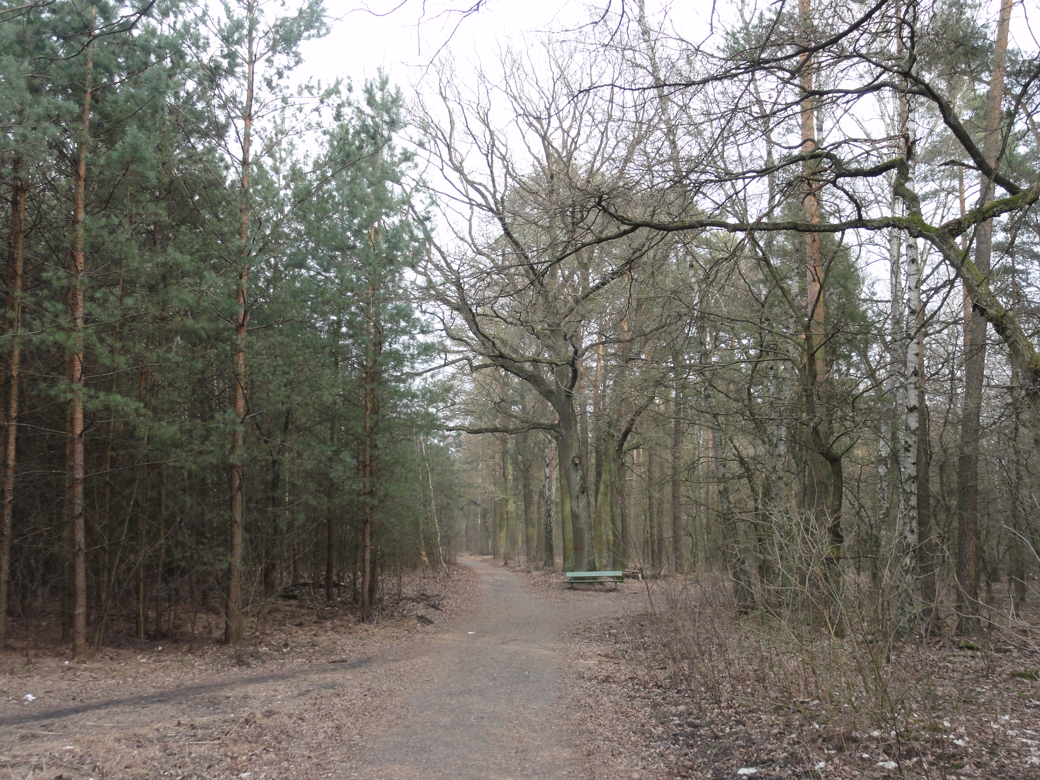
Then we turned and walked straight on, following the Müggelbergallee and its extension. This settling is full of beautiful mansions from the nineteenths and very early twentieth century:
|
|
2011:03:13 14:42:25
---
52 deg 25' 7.87" N, 13 deg 35' 19.85" E
118.5
°
©
ml
|
|
|
2011:03:13 14:43:06
---
52 deg 25' 7.81" N, 13 deg 35' 25.90" E
142.5
°
©
ml
|
|
|
2011:03:13 14:44:46
---
52 deg 25' 7.97" N, 13 deg 35' 29.99" E
201.5
°
©
ml
|
|
|
2011:03:13 14:46:20
---
52 deg 25' 8.96" N, 13 deg 35' 37.24" E
128.75
°
©
ml
|
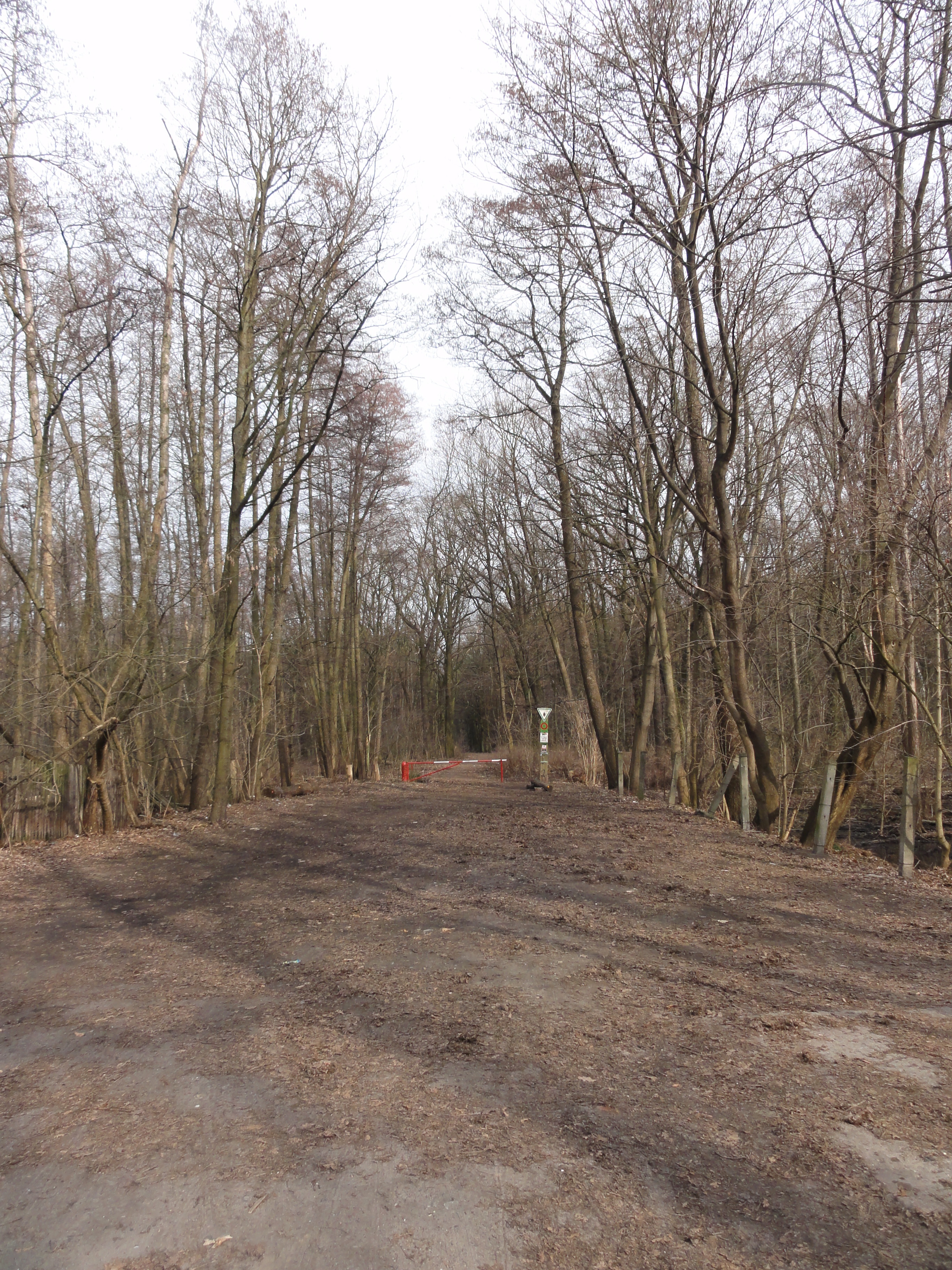
This looks like the end of the world, but it's only the end of inhabited area. So keep walking STRAIGHT ON!
|
|
2011:03:13 14:48:08
---
52 deg 25' 9.80" N, 13 deg 35' 43.45" E
74.75
°
©
ml
|
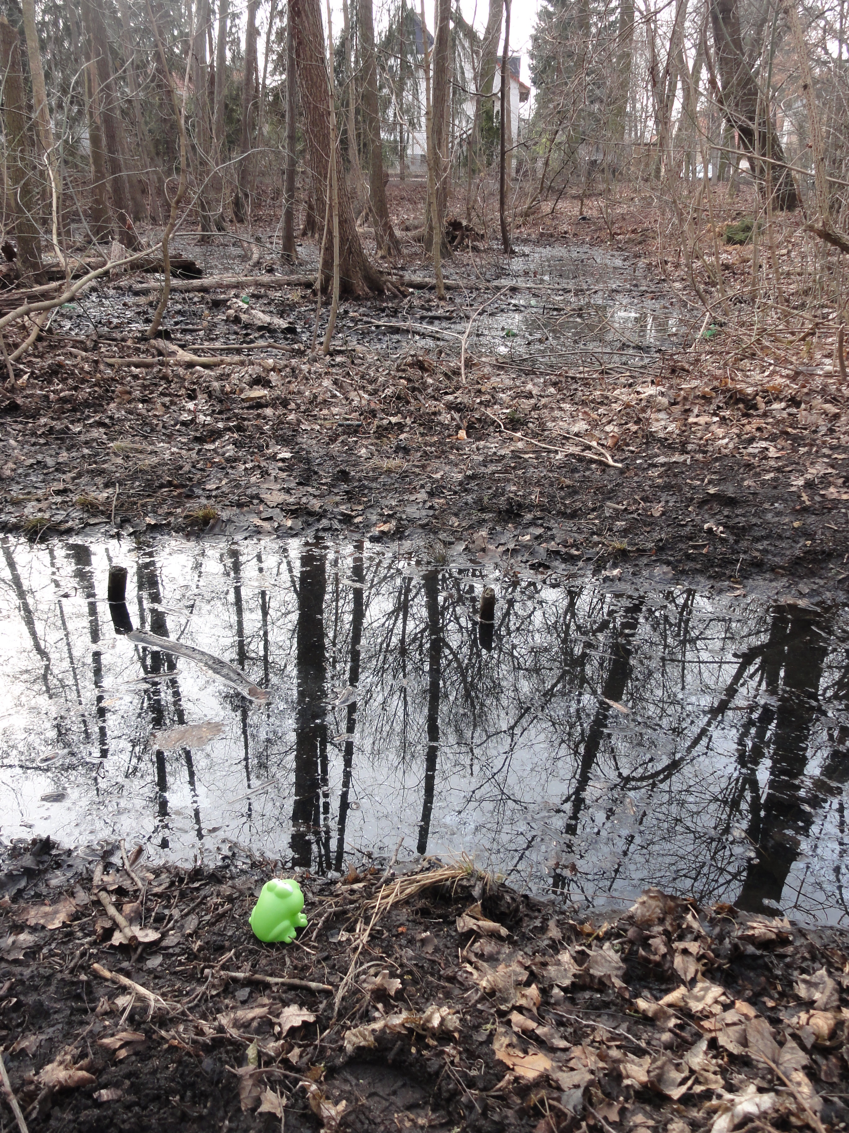
To both sides: Nice swamps for Froggy!
|
|
2011:03:13 14:50:12
---
52 deg 25' 10.36" N, 13 deg 35' 45.45" E
36.75
°
©
ml
|
|
|
2011:03:13 14:50:22
---
52 deg 25' 10.39" N, 13 deg 35' 45.42" E
172
°
©
ml
|
|
|
2011:03:13 14:50:37
---
52 deg 25' 10.43" N, 13 deg 35' 45.54" E
159
°
©
ml
|
|
|
2011:03:13 14:51:29
---
52 deg 25' 10.39" N, 13 deg 35' 45.90" E
199.5
°
©
ml
|
|
|
2011:03:13 14:52:16
---
52 deg 25' 9.99" N, 13 deg 35' 45.35" E
255.75
°
©
ml
|
|
|
2011:03:13 14:53:53
---
52 deg 25' 10.16" N, 13 deg 35' 46.57" E
334.25
°
©
ml
|
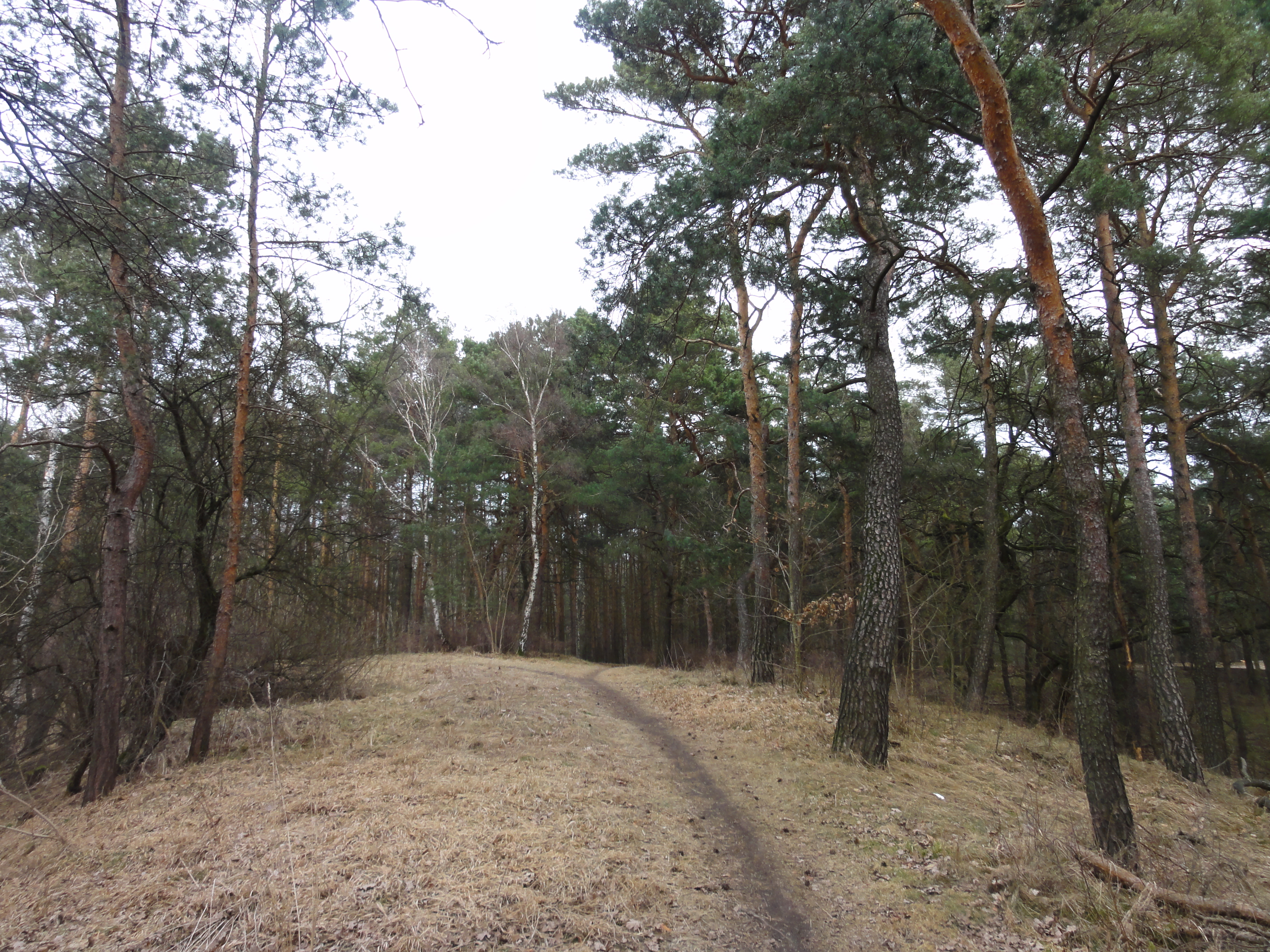
Simply keep going ahead.
|
|
2011:03:13 15:02:31
---
52 deg 25' 11.19" N, 13 deg 35' 52.55" E
67
°
©
ml
|
|
|
2011:03:13 15:05:10
---
52 deg 25' 14.62" N, 13 deg 36' 19.49" E
357.25
°
©
ml
|
|
|
2011:03:13 15:05:23
---
52 deg 25' 15.28" N, 13 deg 36' 25.44" E
76.75
°
©
ml
|
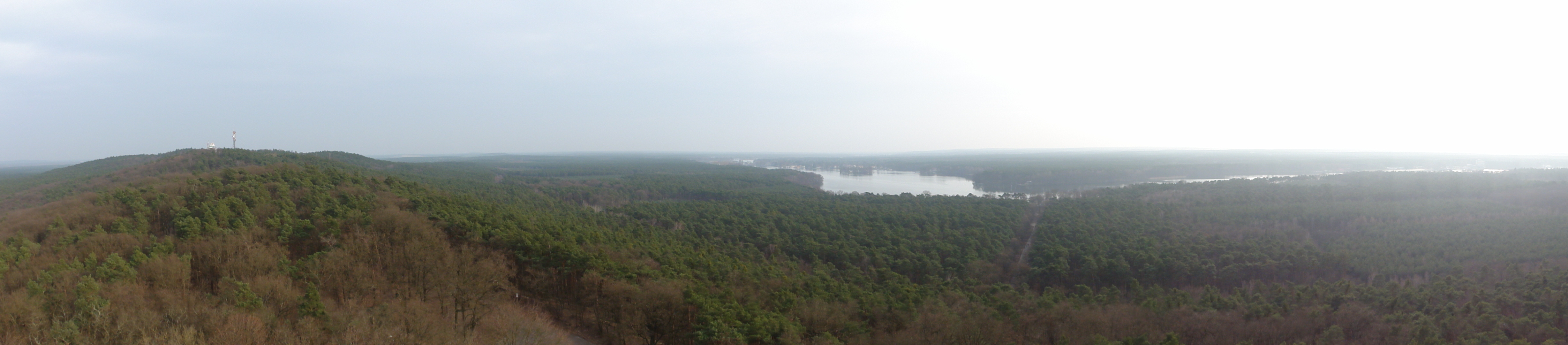
Here you can go left, first visit the Kanonenberge, or right, directly to the Müggelbergturm.
|
|
2011:03:13 15:07:38
---
52 deg 25' 15.50" N, 13 deg 36' 29.85" E
36.75
°
©
ml
|
When you reach the road, just cross it and climb the hill to the left, the so-called Kanonenberg ("canon hill"). At its top you reach this niece picknick-place:
|
|
2011:03:13 15:15:14
---
52 deg 25' 16.52" N, 13 deg 36' 46.86" E
87.75
°
©
ml
|
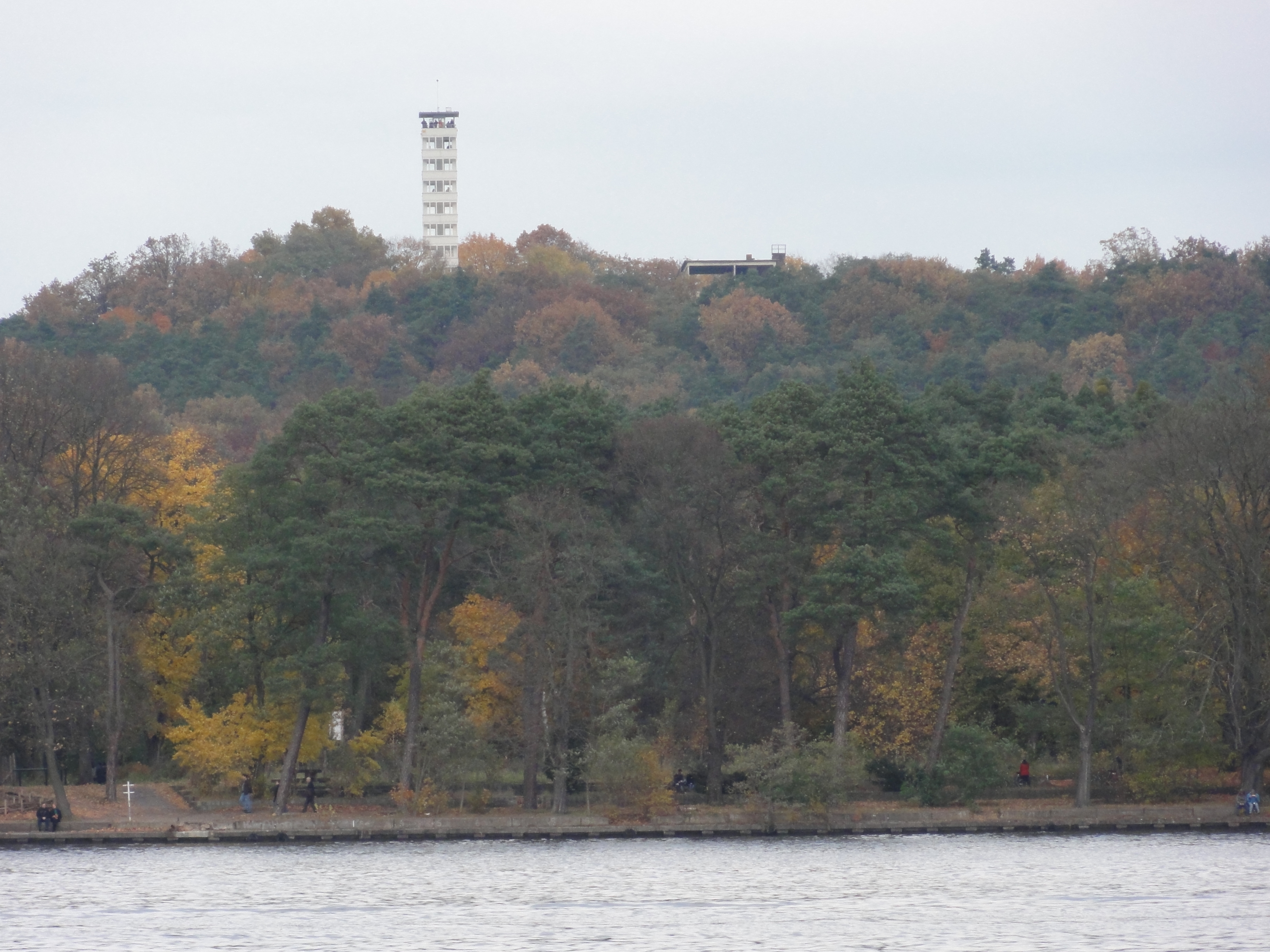
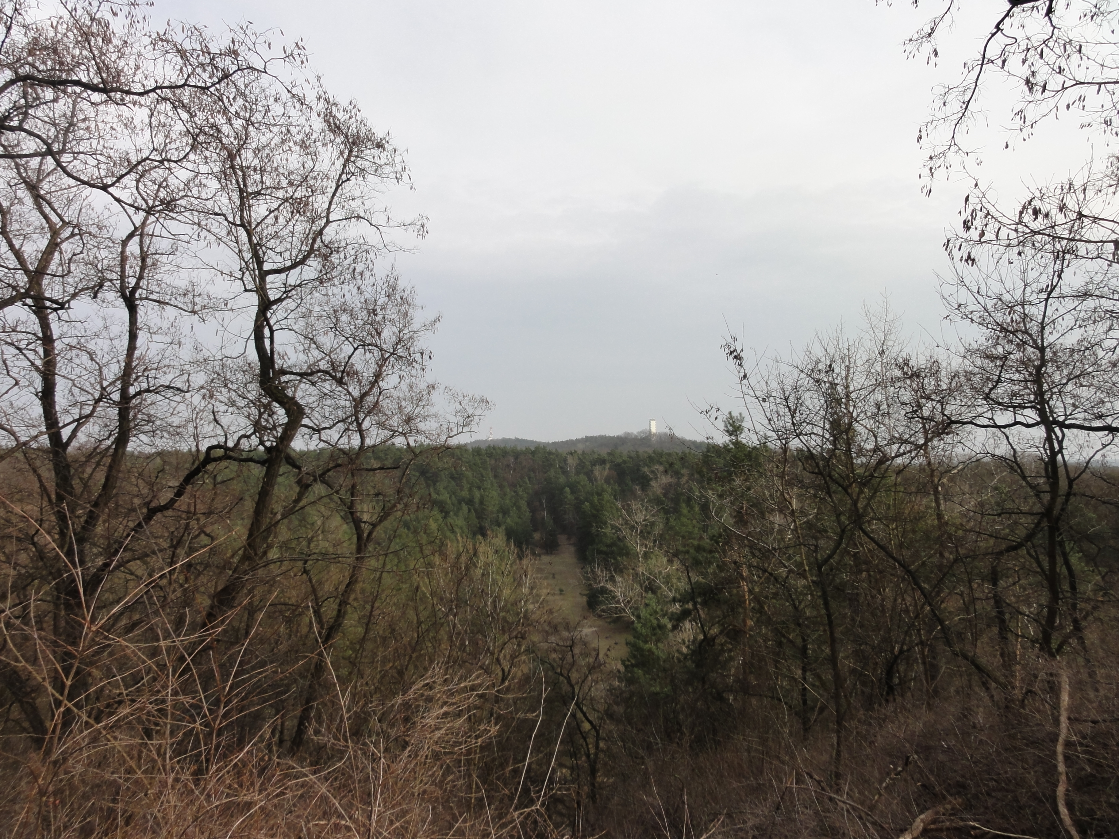
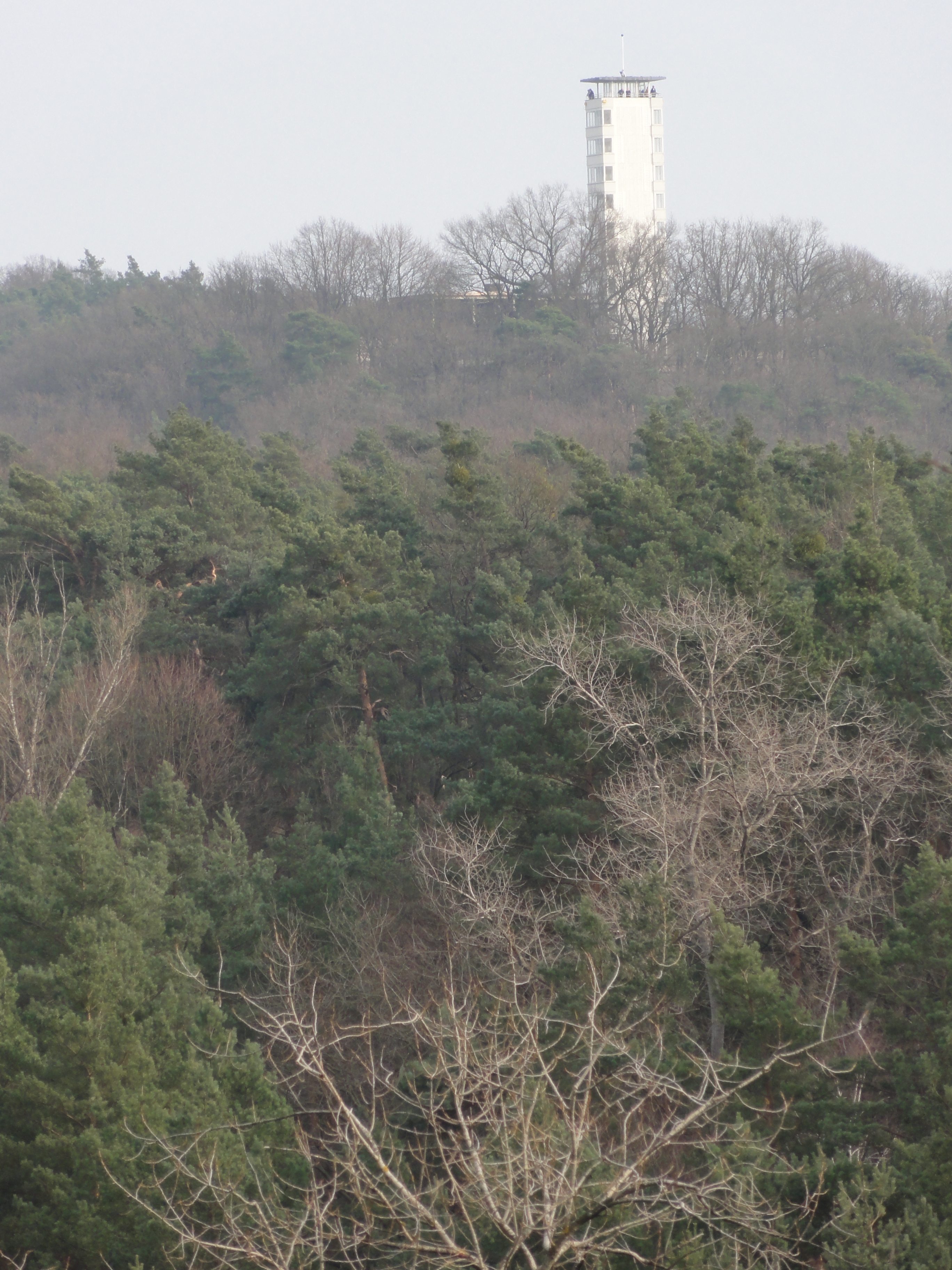
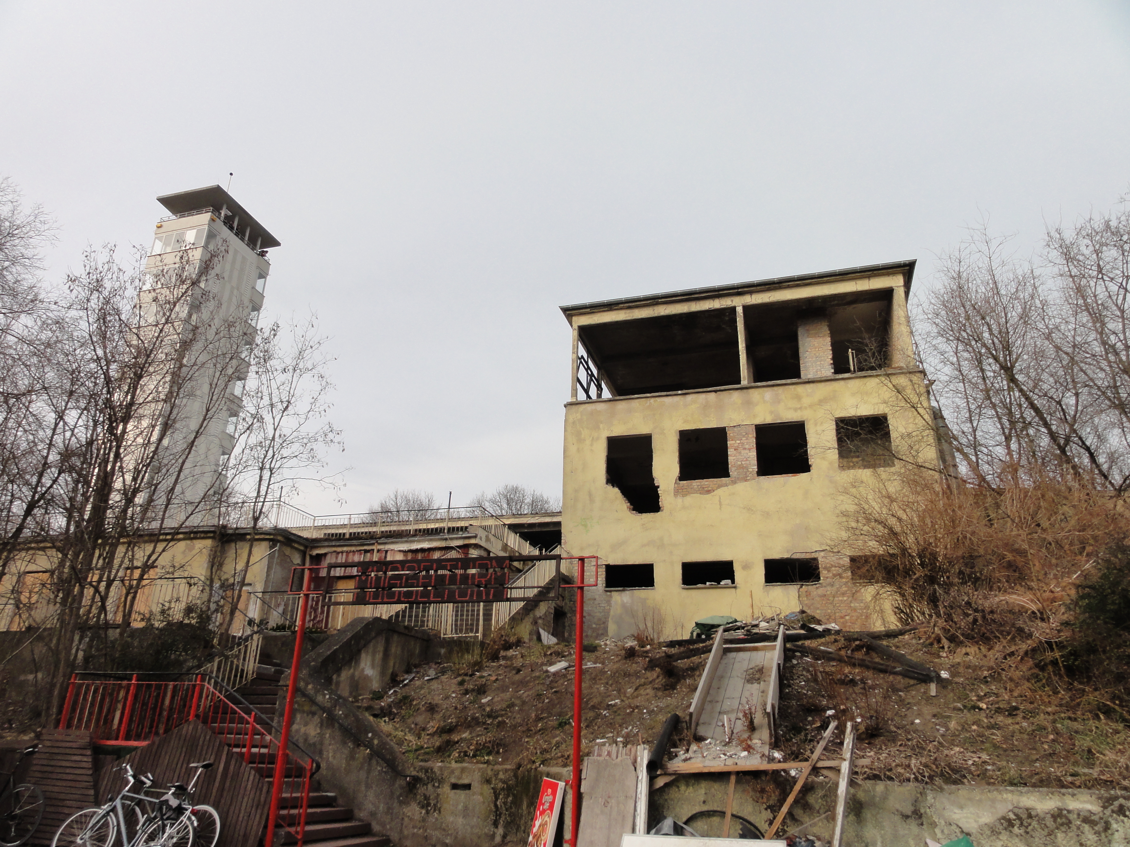
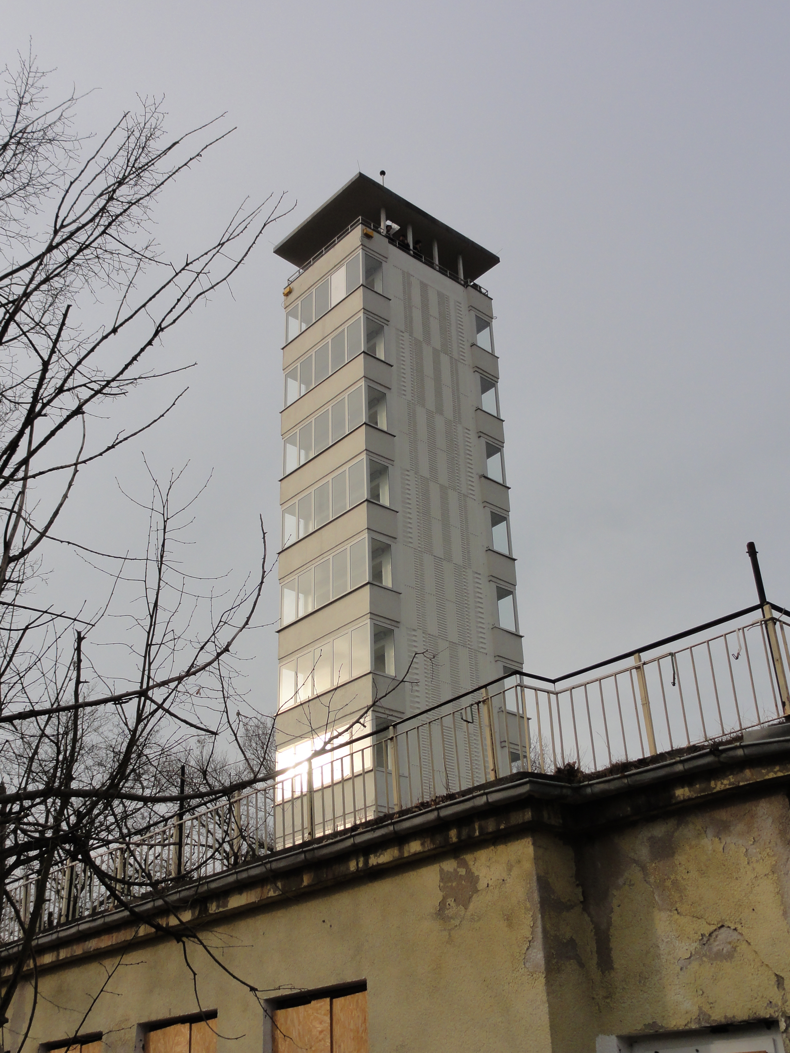
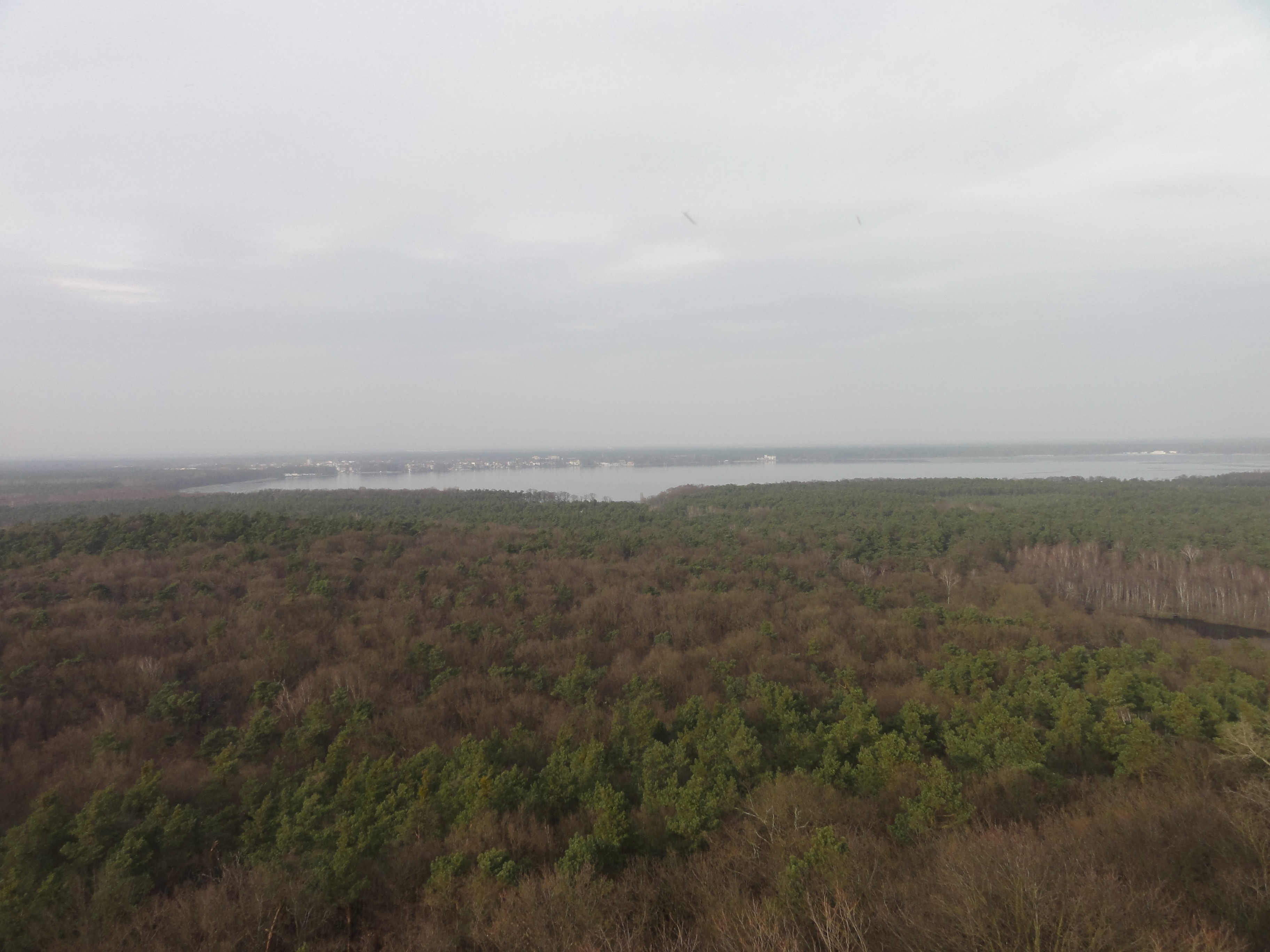
From here you can already see the Müggelturm. It's quite near, looks farer than it is!
|
|
2011:03:13 15:17:27
---
52 deg 25' 16.04" N, 13 deg 36' 51.71" E
121.75
°
©
ml
|
|
|
2011:03:13 15:17:56
---
52 deg 25' 16.07" N, 13 deg 36' 51.15" E
108.75
°
©
ml
|
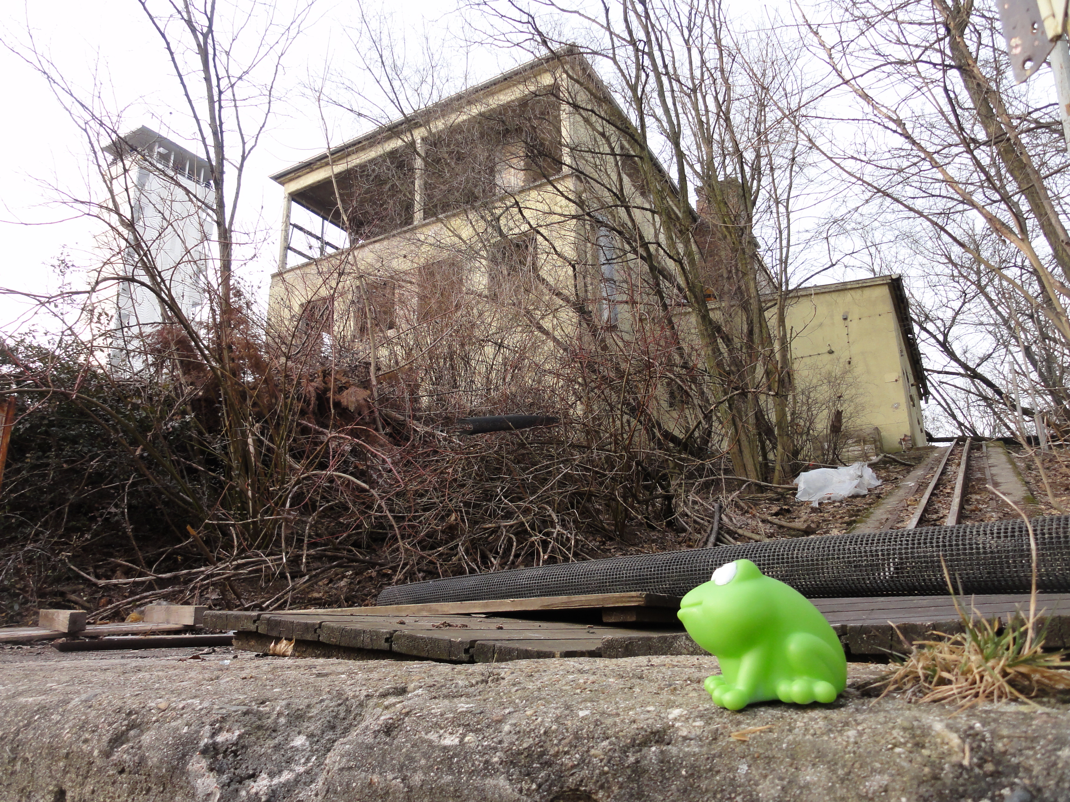
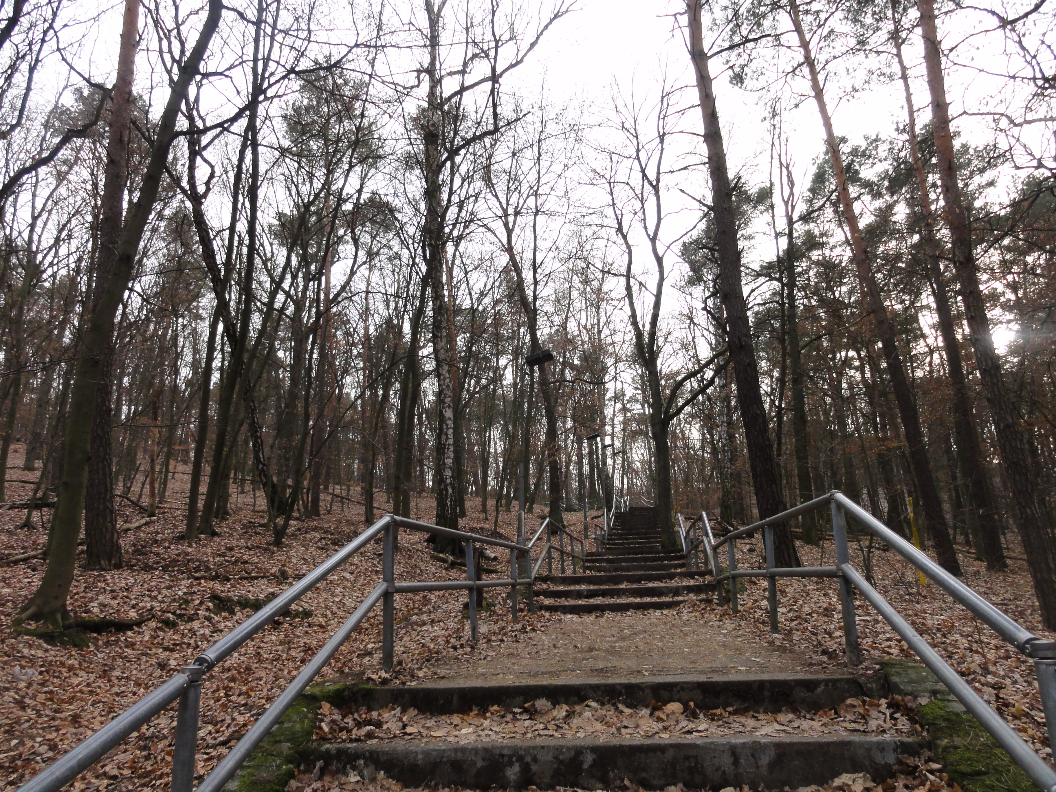
Simply climb down this hill, and up the next, then you reach the Müggelturm. (There are some signs leading you).
|
|
2011:03:13 15:34:48
---
52 deg 25' 10.90" N, 13 deg 37' 7.56" E
65.5
°
©
ml
|
|
|
2011:03:13 15:34:55
---
52 deg 25' 11.03" N, 13 deg 37' 7.69" E
111.5
°
©
ml
|
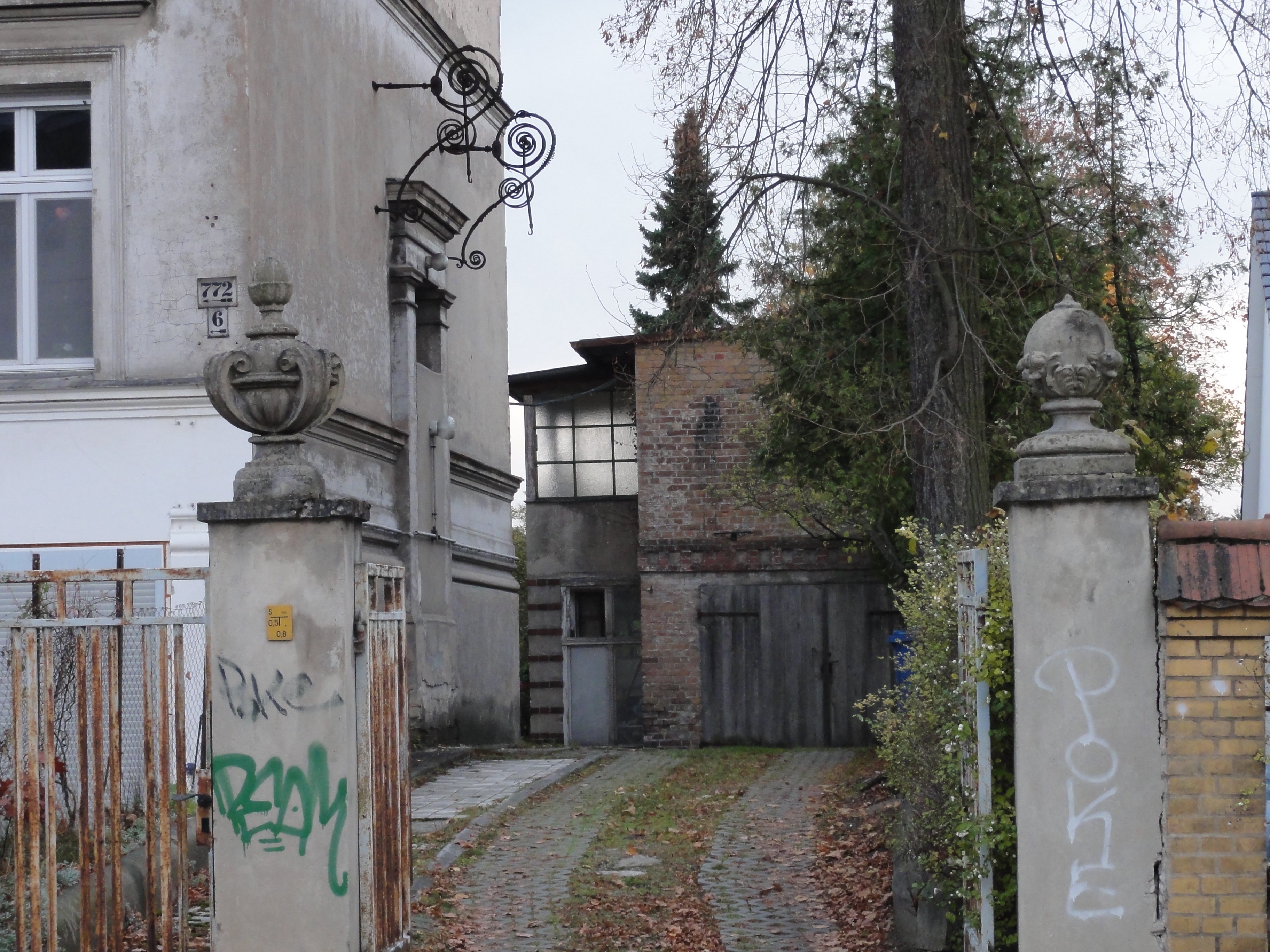
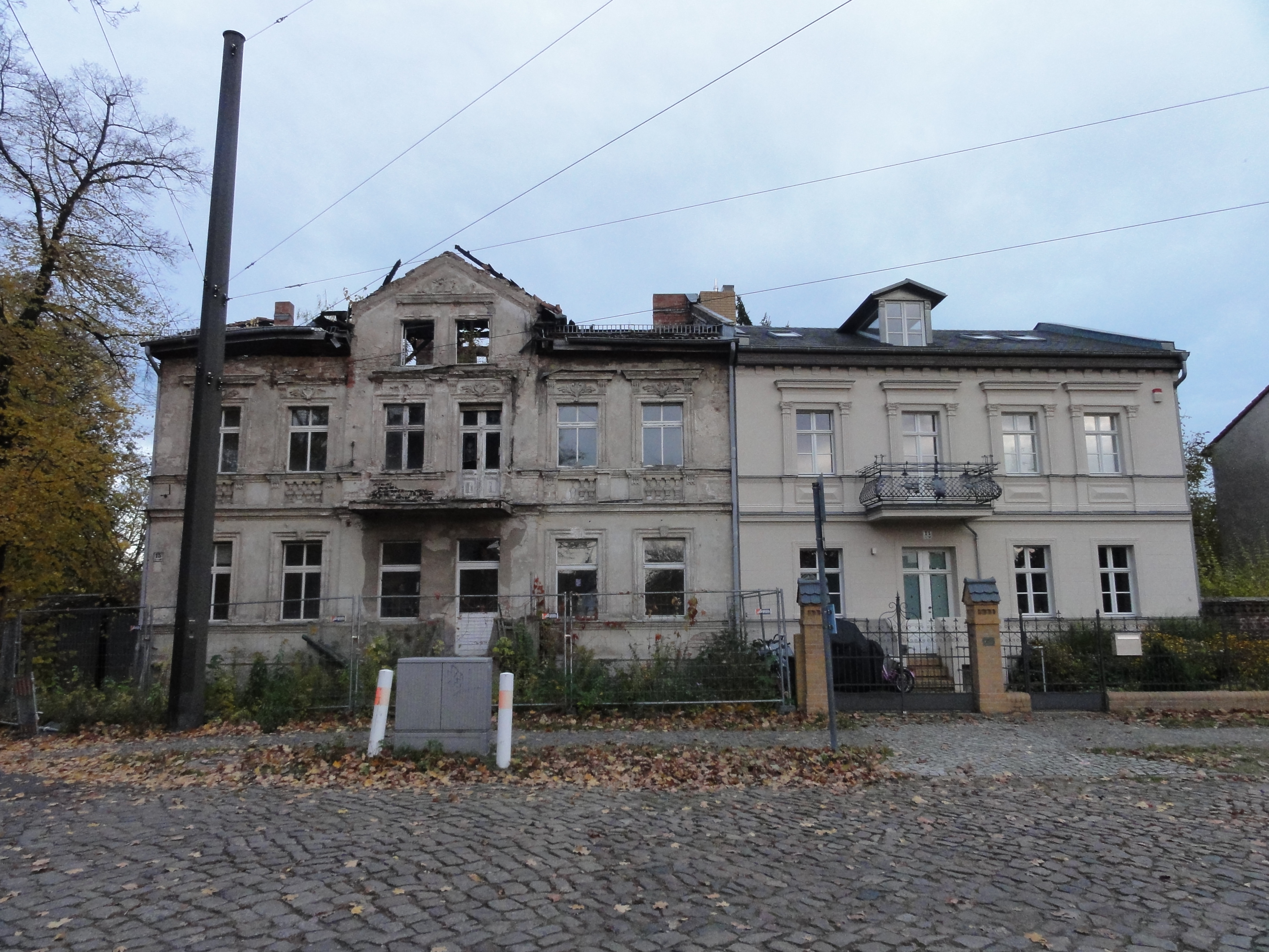
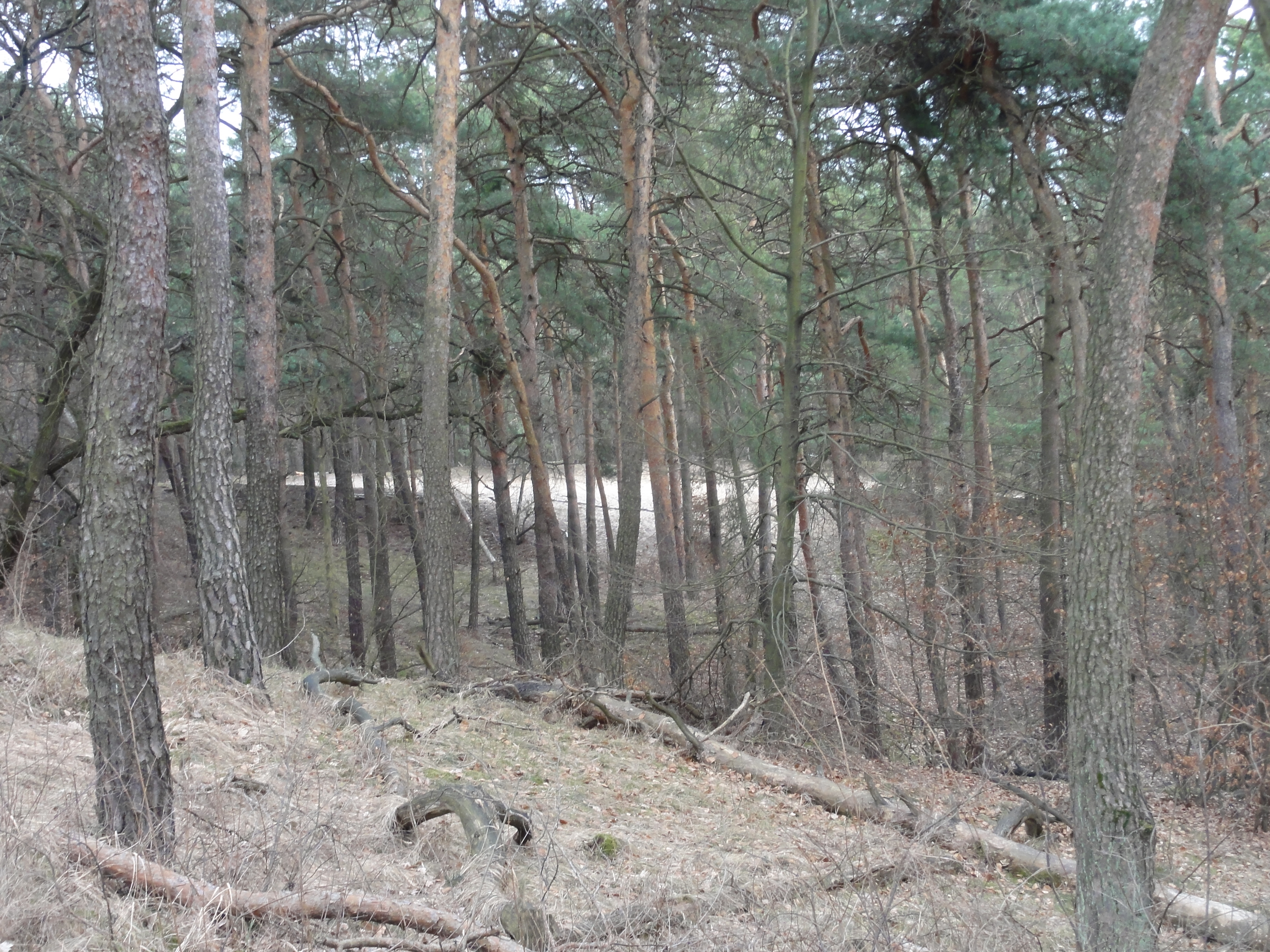
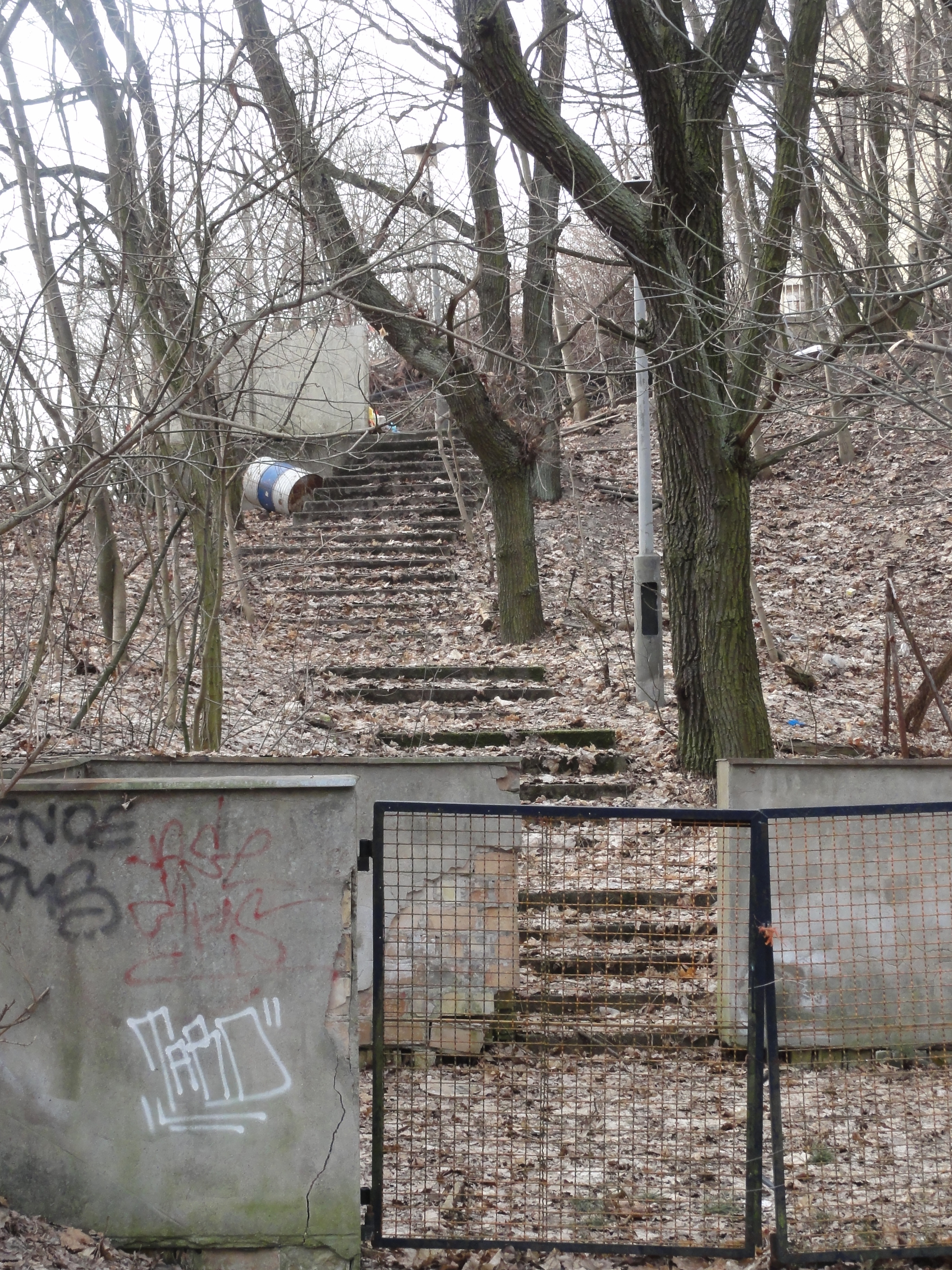
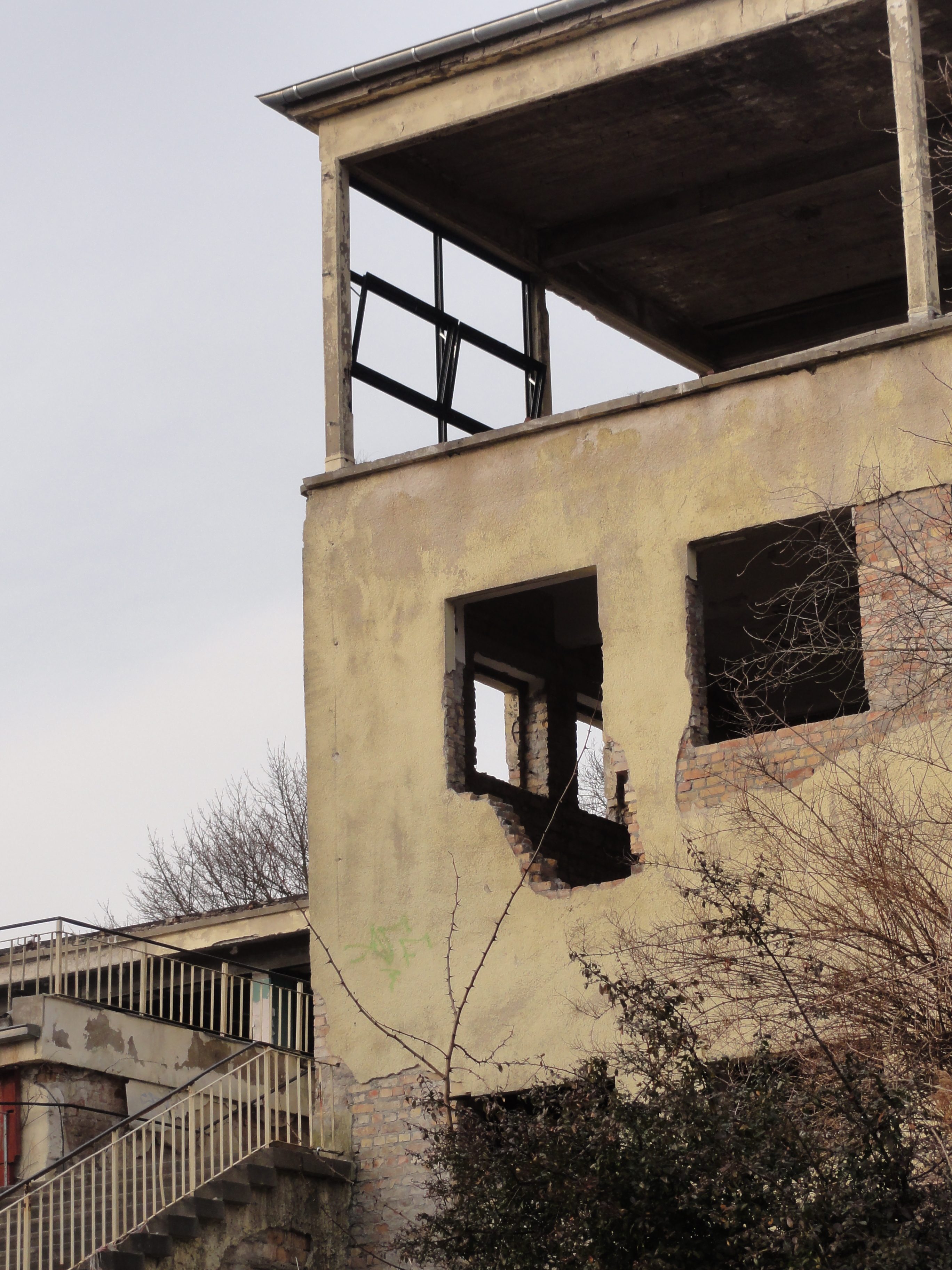
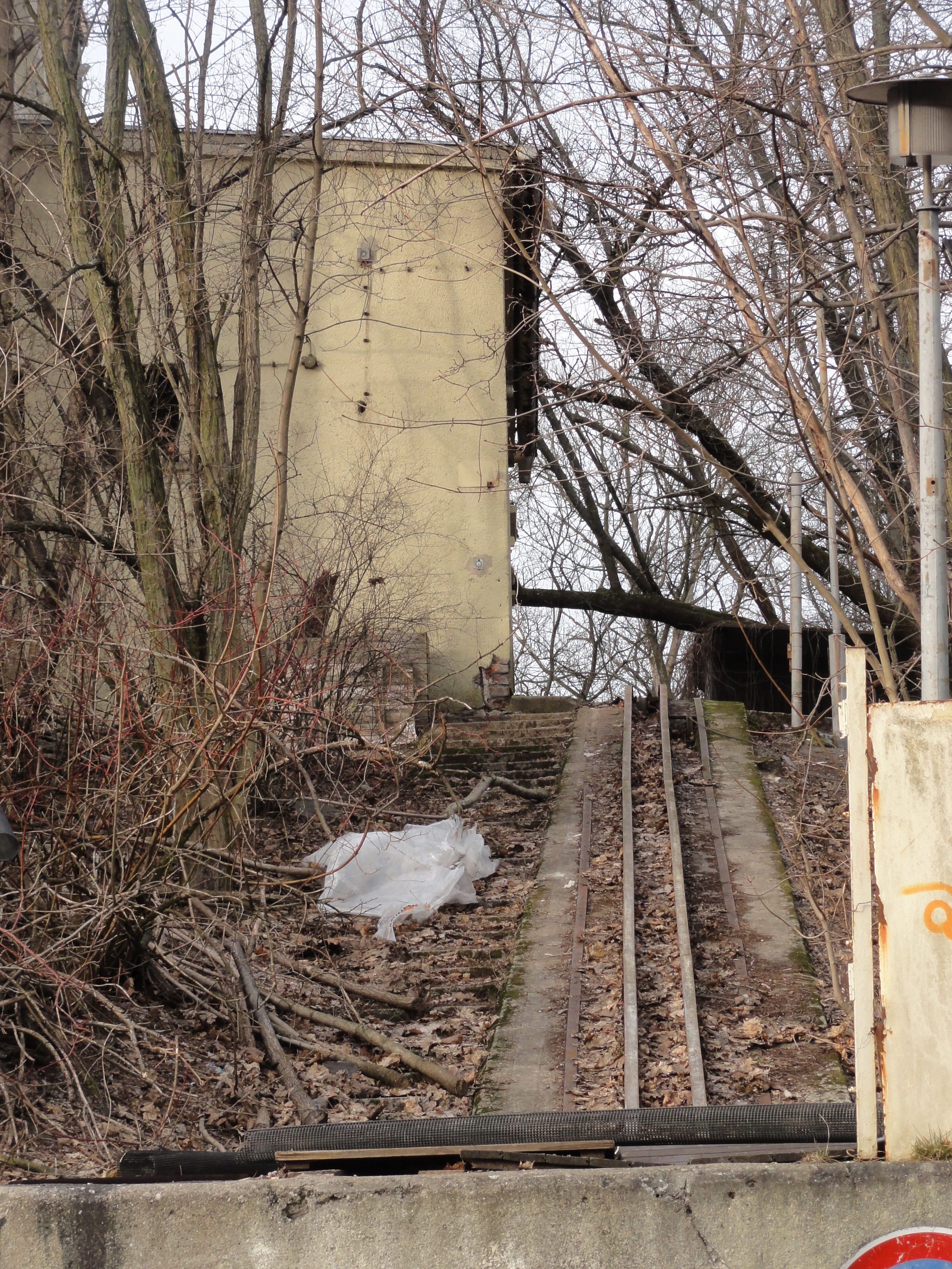
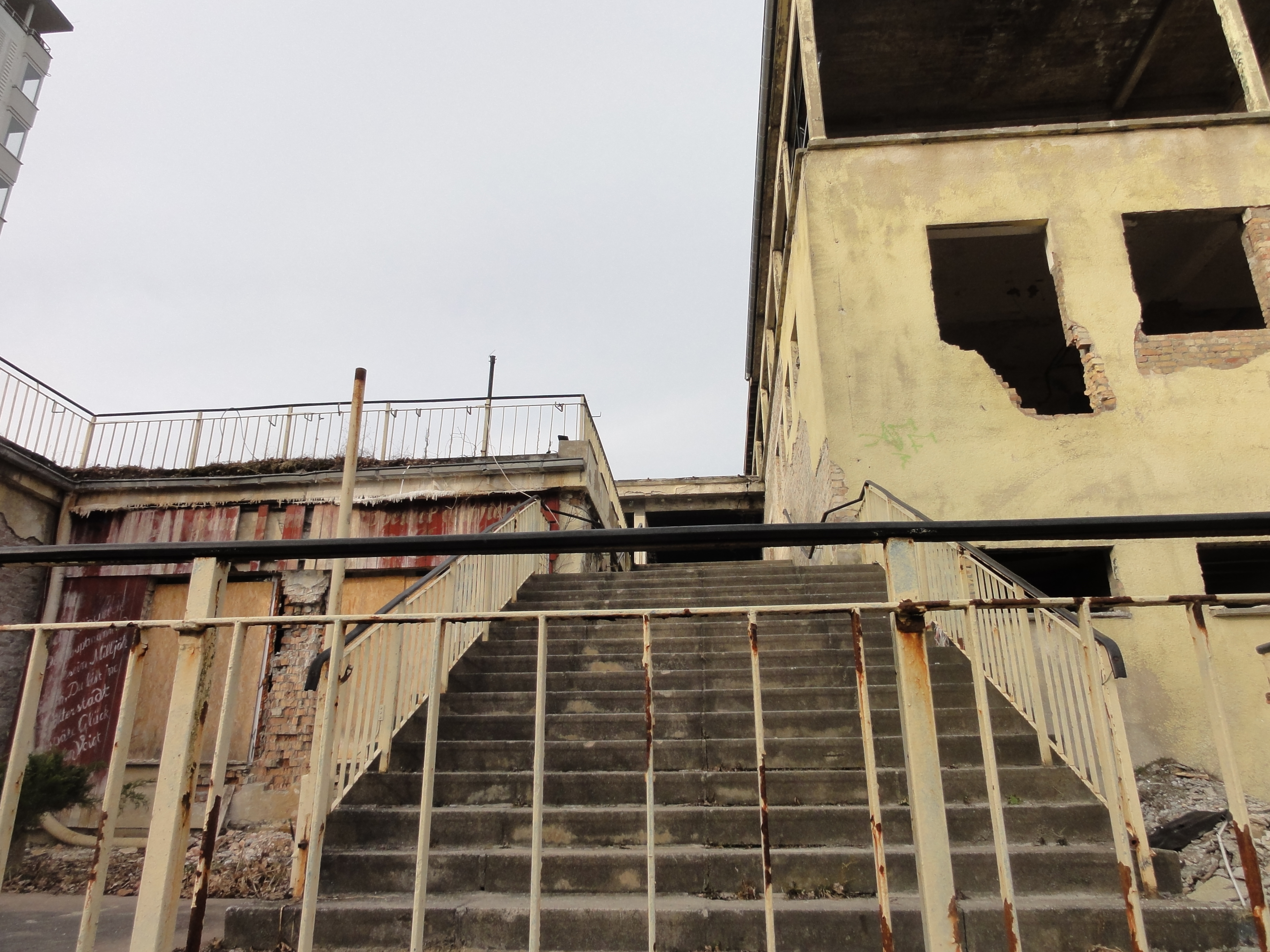
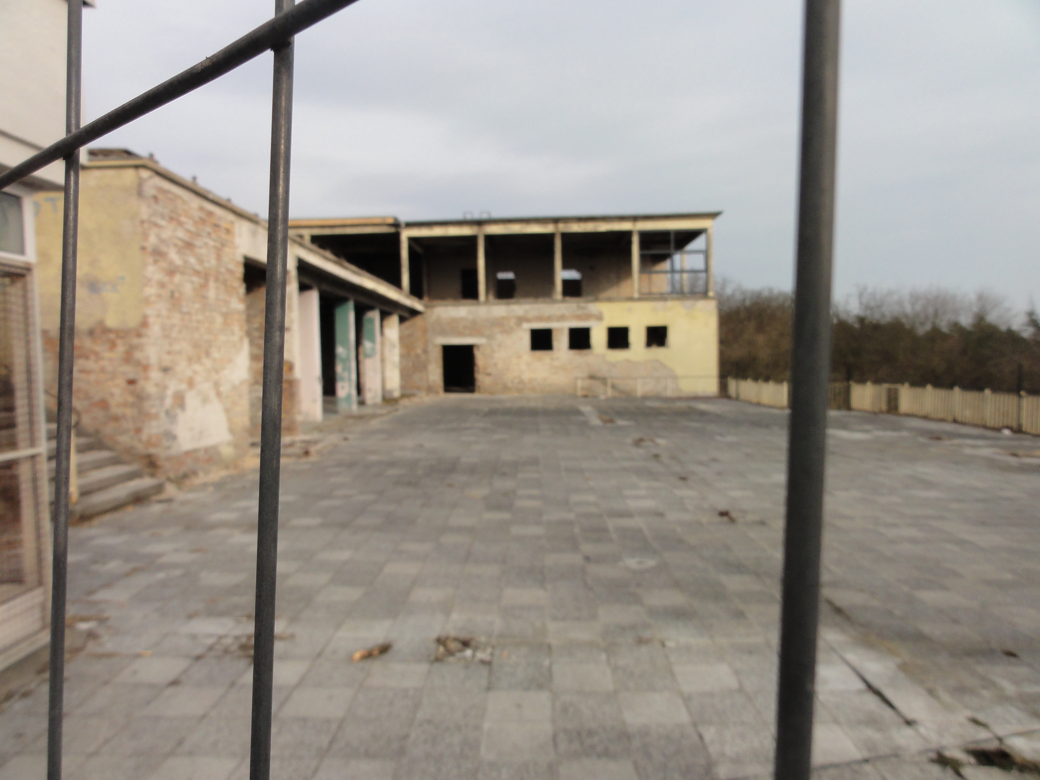
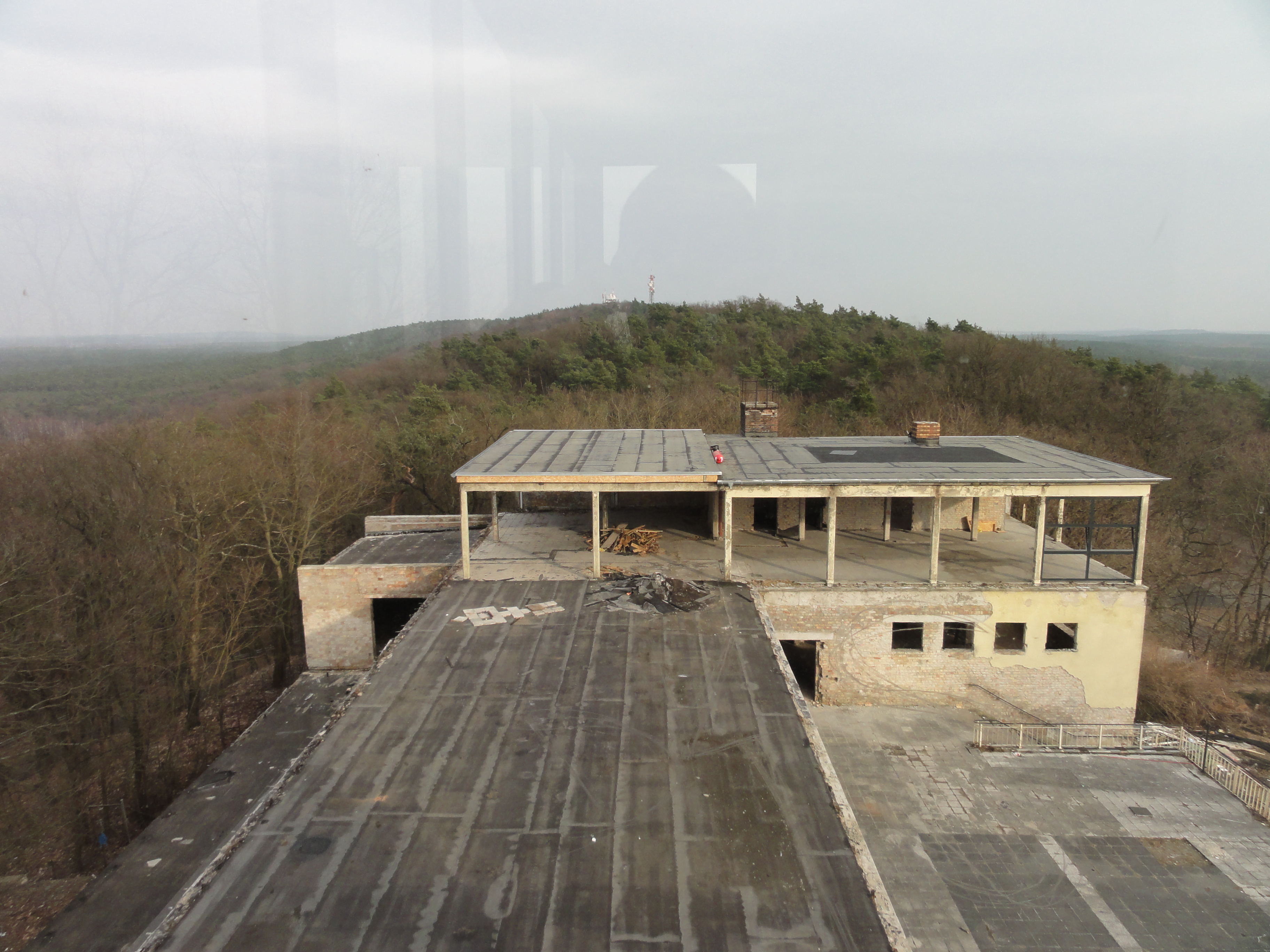
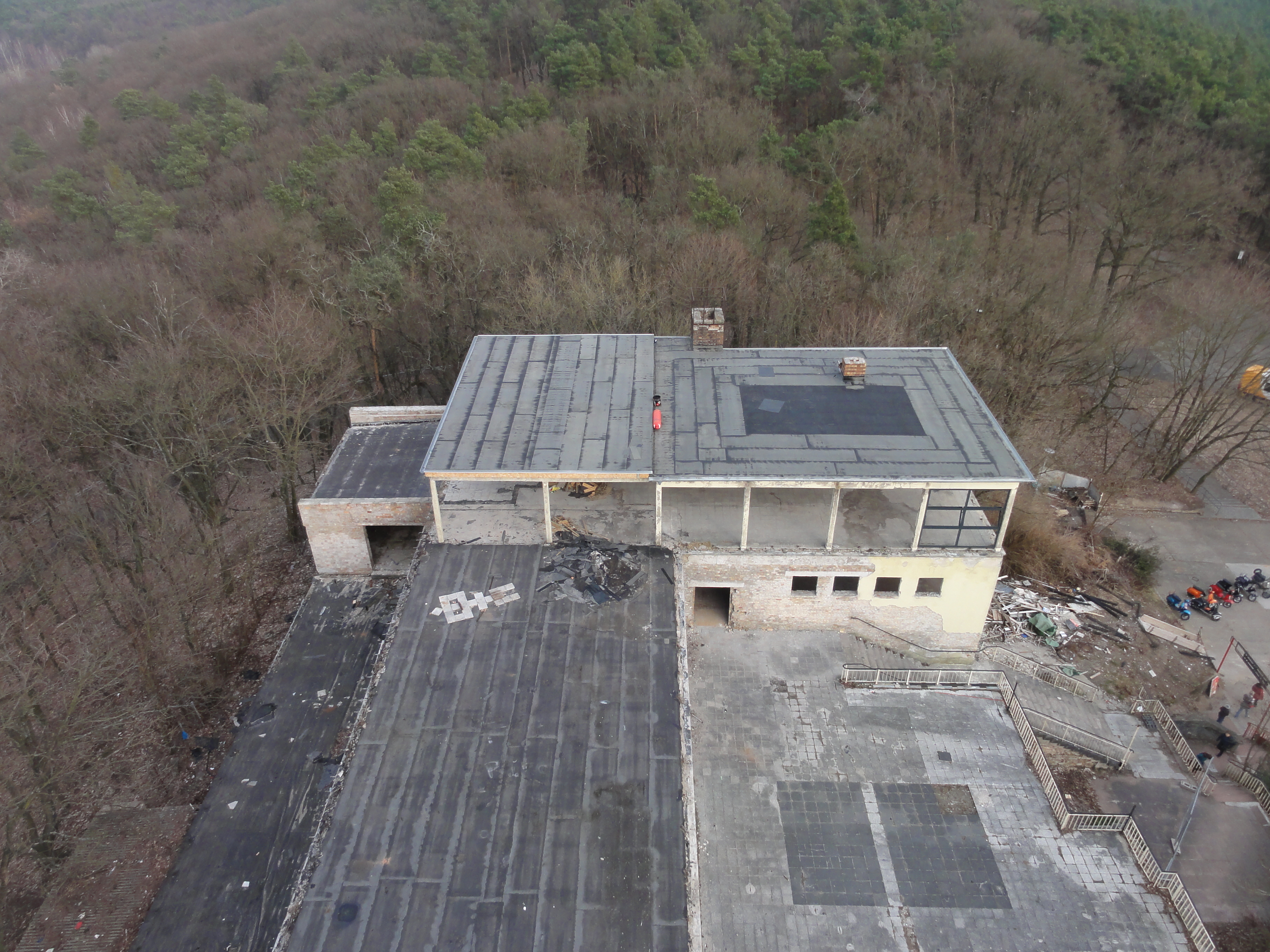
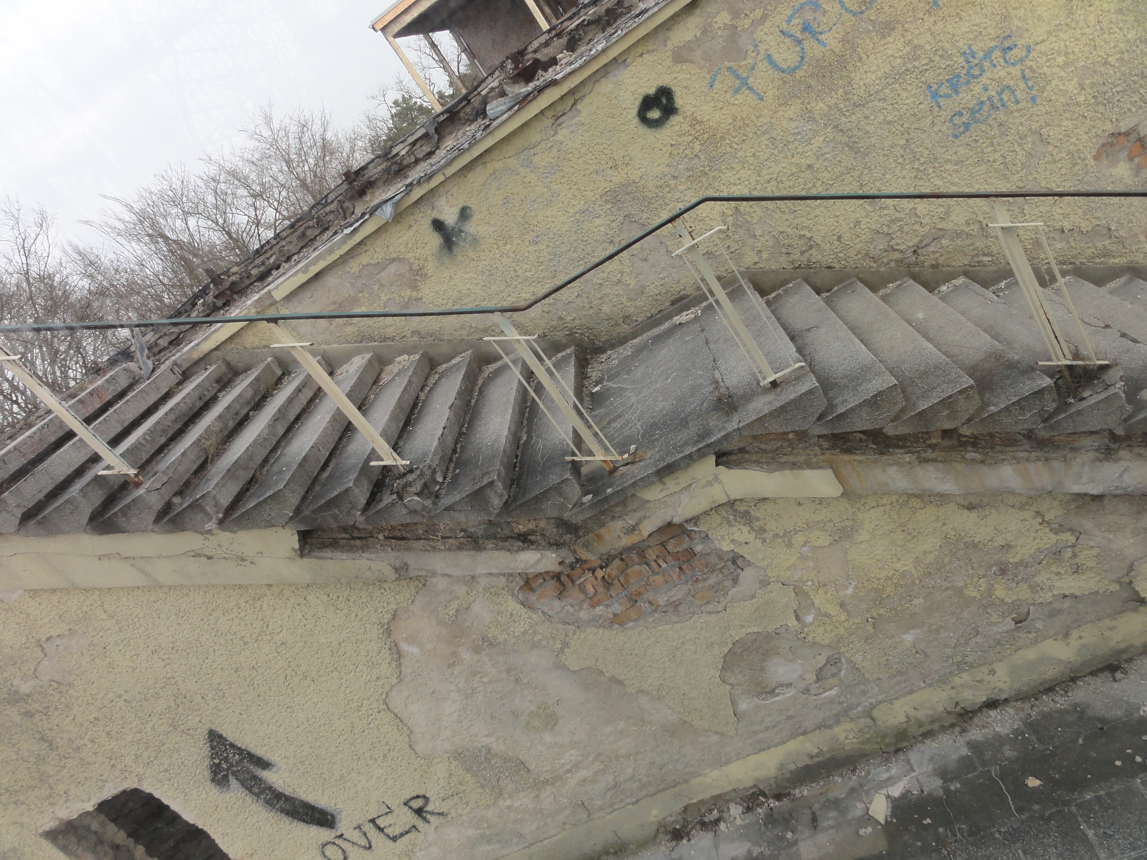
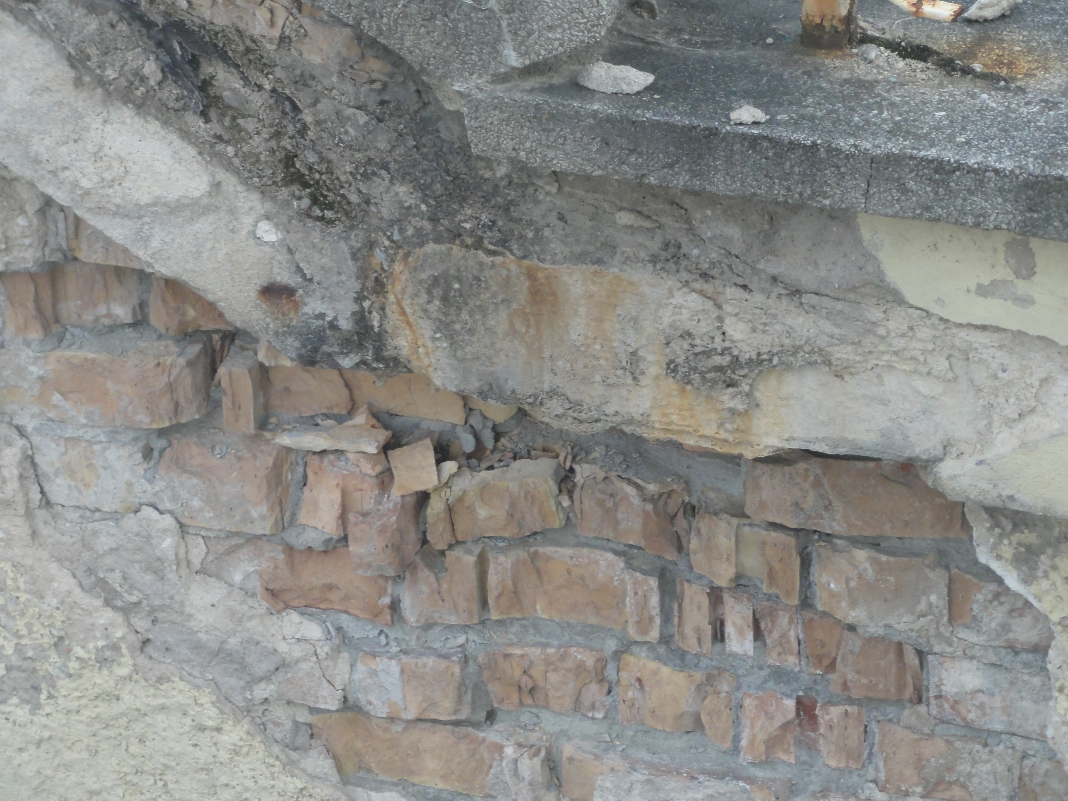
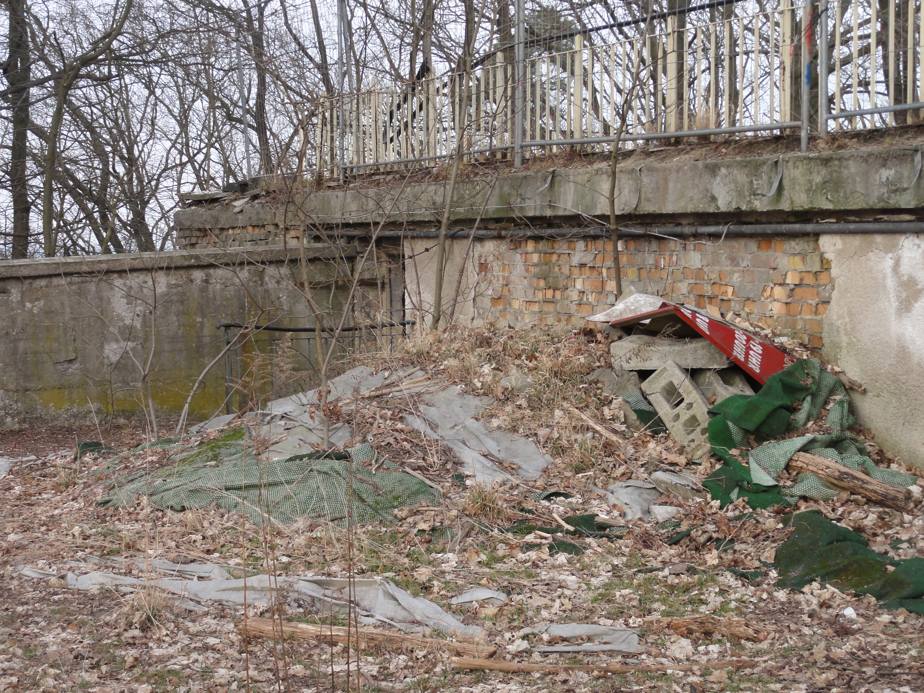
Here everything is rather rotten. Very romantic! They're still looking for an investor.
If you are interested? You'll get it for one Euro!
|
|
2011:03:13 15:58:00
---
52 deg 25' 1.28" N, 13 deg 37' 34.57" E
263.25
°
©
ml
|
|
|
2011:03:13 15:59:02
---
52 deg 25' 0.92" N, 13 deg 37' 33.24" E
327.25
°
©
ml
|
|
|
2011:03:13 15:59:12
---
52 deg 25' 0.70" N, 13 deg 37' 32.37" E
354
°
©
ml
|
|
|
2011:03:13 15:59:32
---
52 deg 25' 1.01" N, 13 deg 37' 32.39" E
331.75
°
©
ml
|
|
|
2011:03:13 16:00:04
---
52 deg 25' 1.13" N, 13 deg 37' 31.82" E
7.5
°
©
ml
|
|
|
2011:03:13 16:01:55
---
52 deg 25' 2.26" N, 13 deg 37' 30.32" E
109
°
©
ml
|
|
|
2011:03:13 16:07:22
---
52 deg 25' 2.41" N, 13 deg 37' 30.38" E
57
°
©
ml
|

|
|
2011:03:13 16:07:44
---
52 deg 25' 3.42" N, 13 deg 37' 31.27" E
147.5
°
©
ml
|
|
|
2011:03:13 16:23:45
---
52 deg 25' 2.78" N, 13 deg 37' 31.63" E
115.5
°
©
ml
|
|
|
2011:03:13 16:27:51
---
52 deg 25' 3.14" N, 13 deg 37' 30.17" E
306.25
°
©
ml
|
|
|
2011:03:13 16:28:00
---
52 deg 25' 3.14" N, 13 deg 37' 30.17" E
348.25
°
©
ml
|
|
|
2011:03:13 16:29:10
---
52 deg 25' 2.62" N, 13 deg 37' 29.76" E
34.75
°
©
ml
|
|
|
2011:03:13 16:33:21
---
52 deg 25' 2.53" N, 13 deg 37' 29.72" E
316.75
°
©
ml
|
But the tower is still very beautiful (from the distance!-)
|
|
2011:03:13 16:00:18
---
52 deg 25' 1.36" N, 13 deg 37' 31.88" E
282.5
°
©
ml
|
|
|
2011:03:13 16:11:42
---
52 deg 25' 2.41" N, 13 deg 37' 30.04" E
182.75
°
©
ml
|

|
|
2011:03:13 16:14:45
---
52 deg 25' 1.18" N, 13 deg 37' 30.92" E
11
°
©
ml
|
|
|
2011:03:13 16:32:26
---
52 deg 25' 2.53" N, 13 deg 37' 29.72" E
262.75
°
©
ml
|
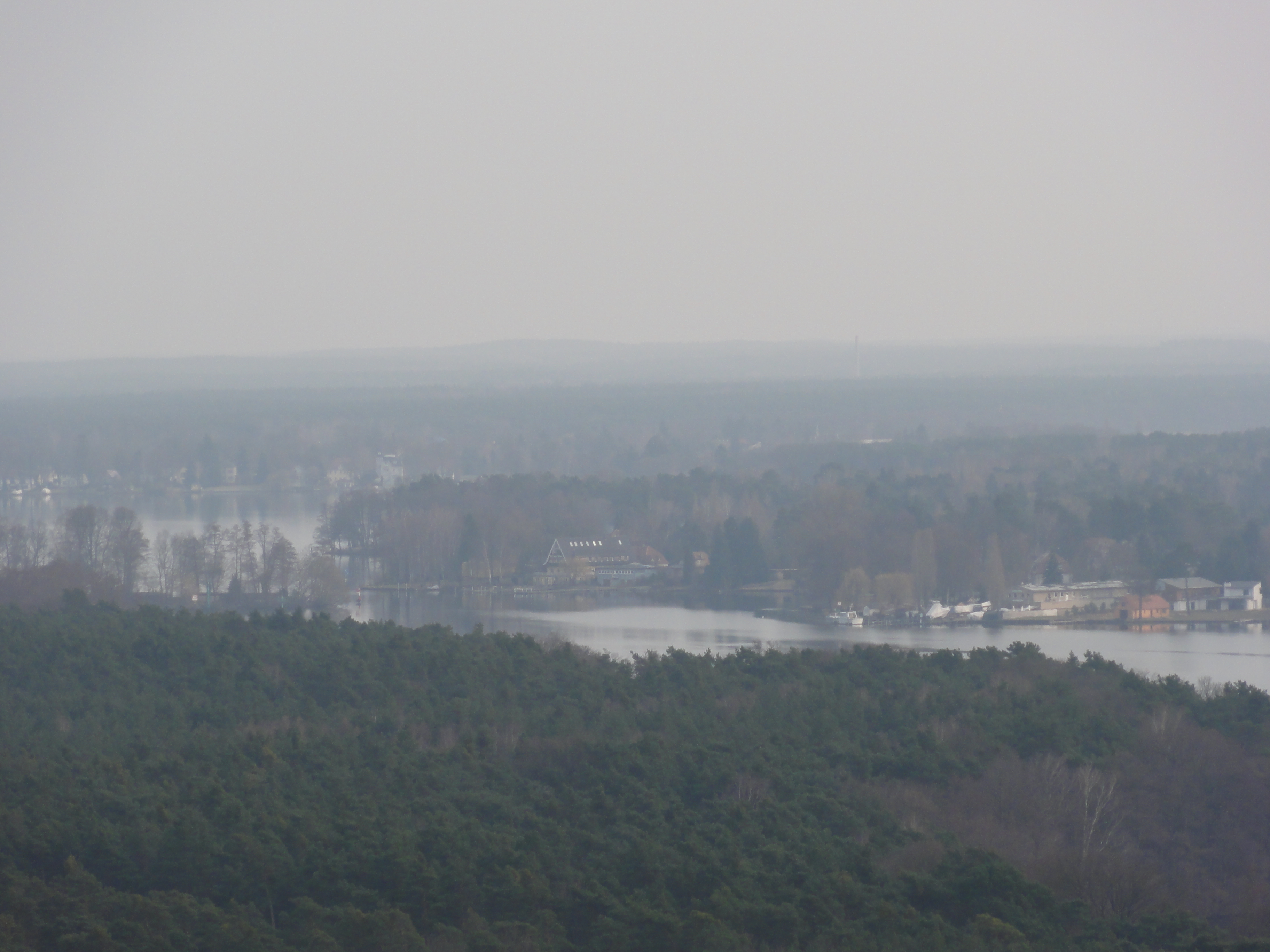
View to the Müggelsee
|
|
2011:03:13 16:15:22
---
52 deg 25' 1.73" N, 13 deg 37' 30.89" E
338.5
°
©
ml
|
...and to the Müggelheim settling
|
|
2011:03:13 16:15:35
---
52 deg 25' 1.73" N, 13 deg 37' 30.89" E
294.5
°
©
ml
|
...and to the Grünau
|
|
2011:03:13 16:24:01
---
52 deg 25' 2.55" N, 13 deg 37' 30.64" E
172.75
°
©
ml
|
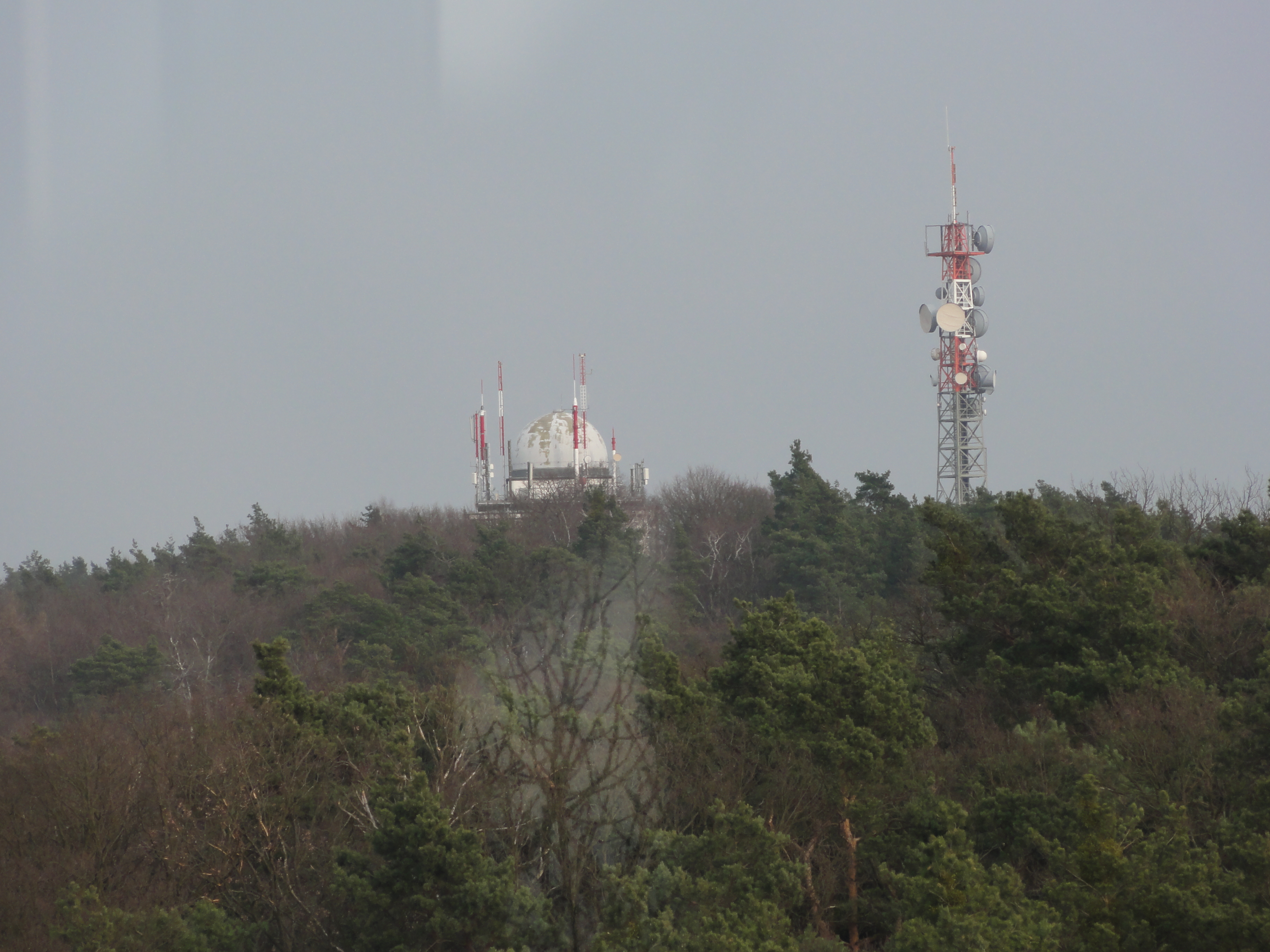
The towers on the NEXT hill aren't public, it's something military, left by the Russians on their leave.
|
|
2011:03:13 16:07:35
---
52 deg 25' 4.38" N, 13 deg 37' 37.01" E
45
°
©
ml
|
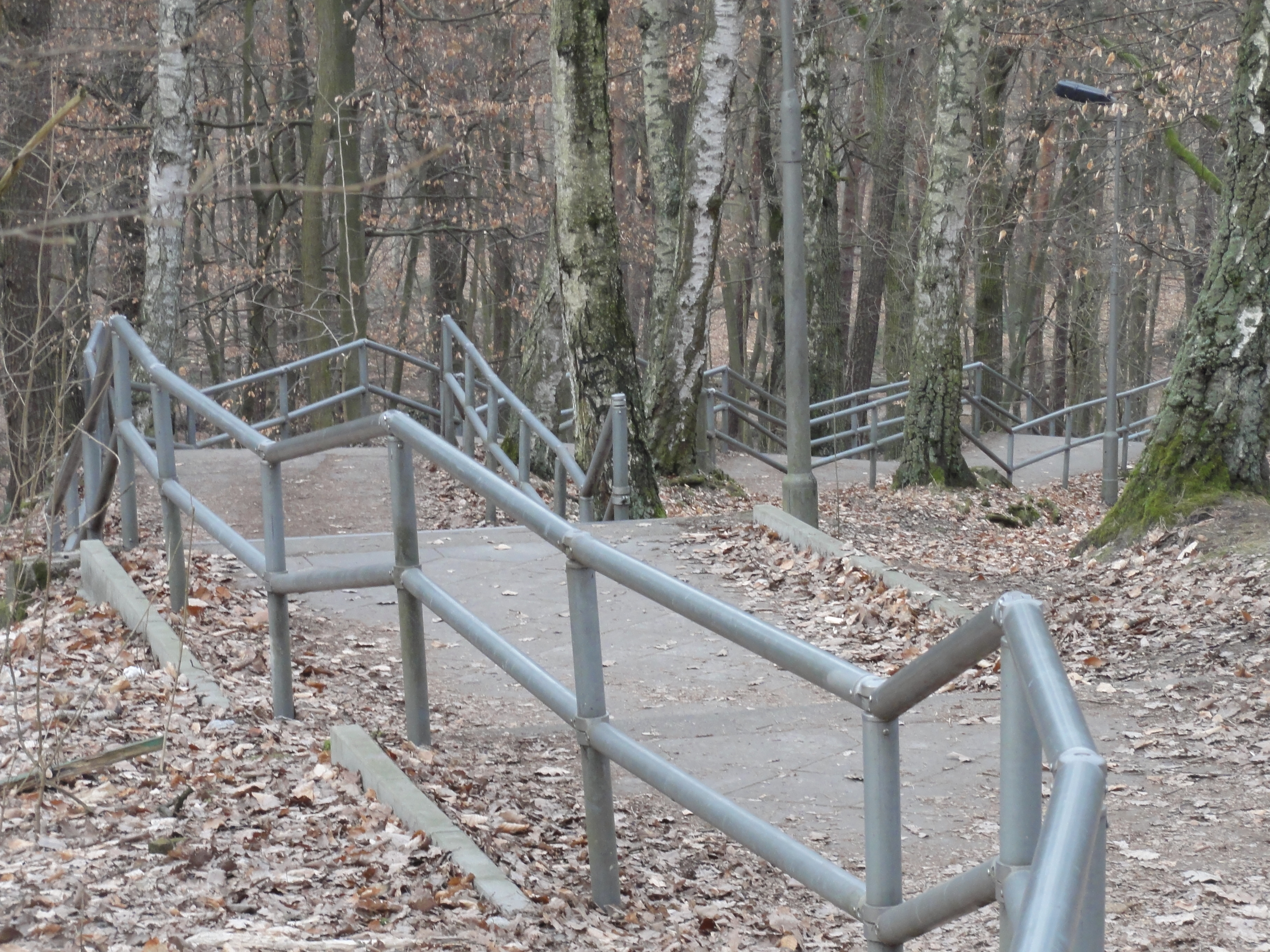
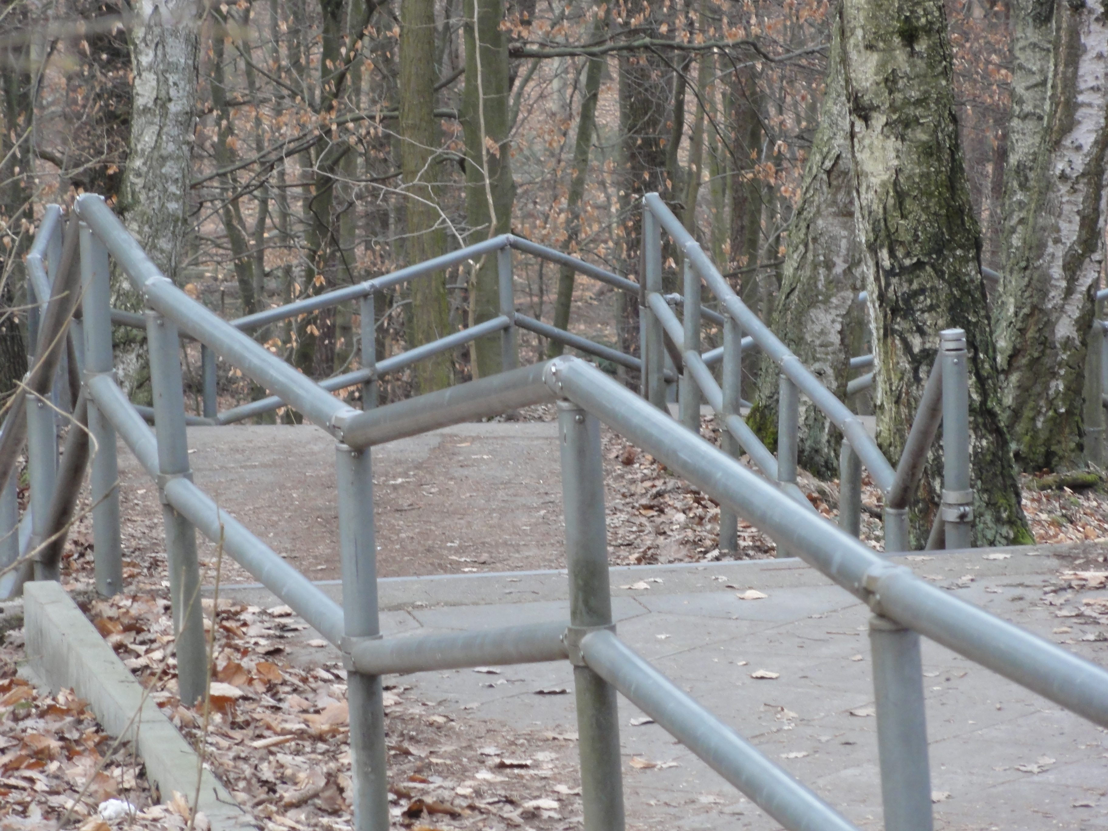
Following the stairs down northwards ...
|
|
2011:03:13 16:38:29
---
52 deg 25' 3.58" N, 13 deg 37' 38.90" E
358.25
°
©
ml
|
|
|
2011:03:13 16:38:43
---
52 deg 25' 3.68" N, 13 deg 37' 39.14" E
356
°
©
ml
|
|
|
2011:03:13 15:50:41
---
52 deg 25' 6.65" N, 13 deg 37' 39.60" E
104.75
°
©
ml
|
|
|
2011:03:13 15:51:51
---
52 deg 25' 6.22" N, 13 deg 37' 39.12" E
186.75
°
©
ml
|
|
|
2011:03:13 15:56:42
---
52 deg 25' 2.15" N, 13 deg 37' 35.61" E
205.75
°
©
ml
|
|
|
2011:03:13 15:57:34
---
52 deg 25' 0.94" N, 13 deg 37' 34.97" E
263
°
©
ml
|
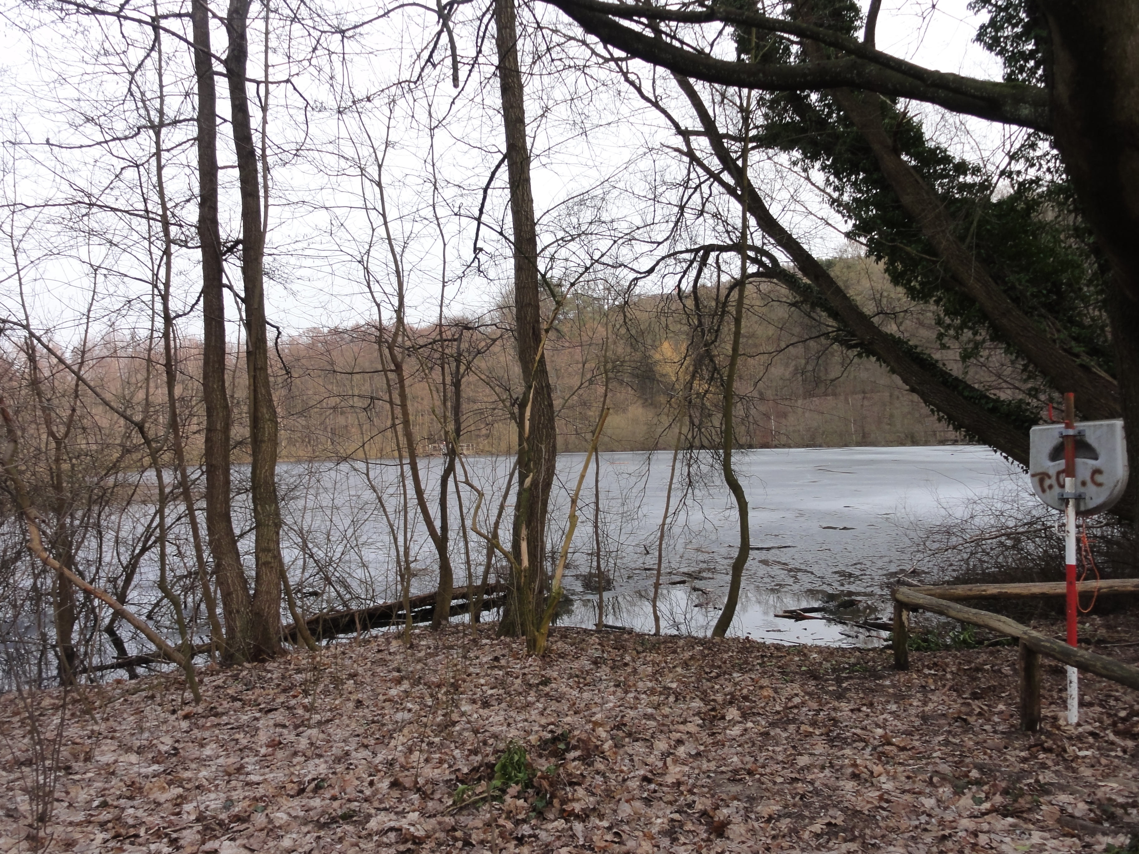
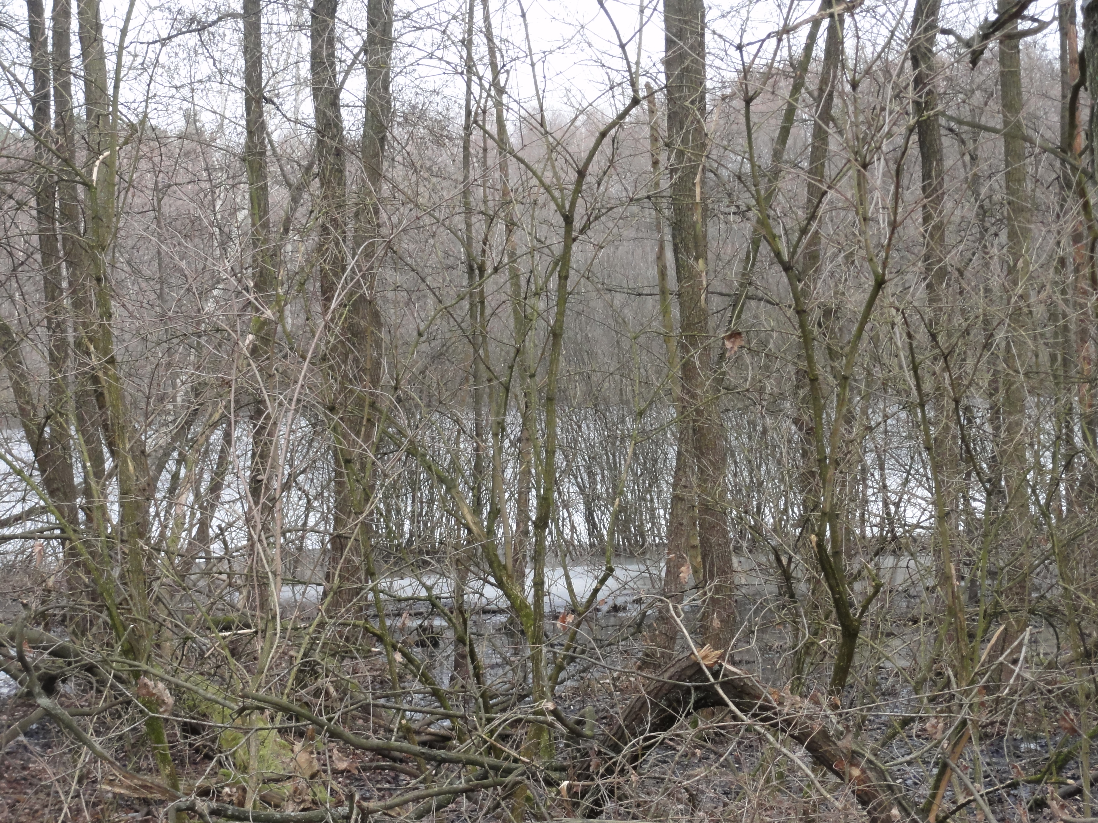
...we reacht the Teufels-See ("devils pond", there are two to them, in Westberlin and in Berlin-Hauptstadt! We have got TWO of everything! Like University, Zoo, Planetary, Stadium, Opera, TV-Tower, etc.)
|
|
2011:03:13 16:43:21
---
52 deg 25' 9.73" N, 13 deg 37' 45.05" E
117.25
°
©
ml
|
|
|
2011:03:13 15:47:18
---
52 deg 25' 12.85" N, 13 deg 37' 29.74" E
75.5
°
©
ml
|
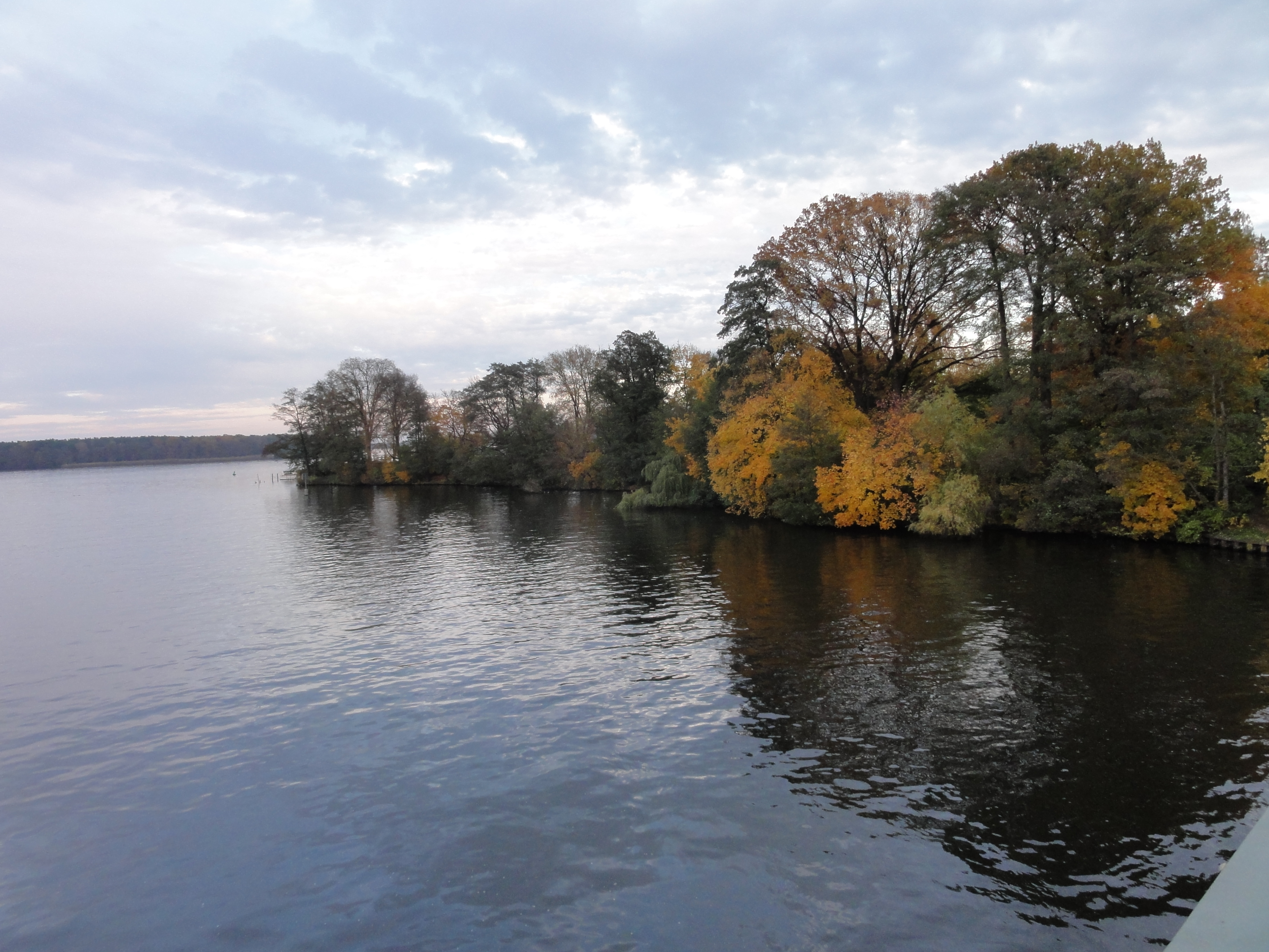
From there straight north, you reach the road from where a bus ought us back
to S-Bshn. Normally it goes every ten minutes!
You may of course walk further, straight on to the See, then turn
left and follow the shore to Friedrichshagen. It's about another hour
and very niece and interesting, esp. the last section with
the
Spree tunnel and the
Bürgerbräu brewery .
back to photos' home / zurück zur Photo-Übersicht
markuslepper.eu
2011-07-29_21h14


produced with
eu.bandm.metatools.d2d
and
XSLT
FYI view
page source text